
Historic bridges · Scottish Lowlands
Bridge, South Driveway, Lesmahagow
In or near Coalburn.
Bridge, South Driveway, Lesmahagow — category C listed building-listed bridge in scotland-central, United Kingdom.

Gordon Brown — CC BY-SA 2.0 via Wikimedia Commons licence

Plan your visit
- Typical visit
- 15 min–30 min
- Nearest railway station
- Clyde Valley Station · 7.4 km
- Free entry
- Dog-friendly
Getting there & planning your visit
To visit Bridge, South Driveway in Lesmahagow, the nearest railway station is Clyde Valley Station, located 7.4 km away. Entry to the bridge is free. The postcode for sat-nav is ML11 0JP.
About
Bridge, South Driveway, Lesmahagow is a category C listed building-listed bridge in scotland-central, United Kingdom, registered on the Historic Environment Scotland register (entry LB11726). Listed status protects buildings and structures of special architectural or historic interest. See the linked Wikipedia article for further details.
Photo gallery
Heritage listing
Category C Date Added 11/05/1989 Local Authority South Lanarkshire Planning Authority South Lanarkshire Parish Lesmahagow NGR NS 80838 39030 Coordinates 280838, 639030 — Probably mid 19th century, and presumably contemporary both with south gateway and with opening of south driveway. Bridge with rock-faced and castellated parapets, small segmental archway over burn; mainly rubble-built below parapets.
From Historic Environment Scotland under OGL v3.
Place summary
The Bridge on South Driveway in Lesmahagow is a category C listed building located in central Scotland. Its designation reflects its historical significance within the region. The structure contributes to the local architectural landscape.
AI-generated from the structured facts on this page (operator, designation, listing, era). Not a substitute for visiting.
- Coordinates
- 55.6302, -3.8942
- District
- South Lanarkshire
- Postcode
- ML11 0JP
- Parliamentary constituency
- Hamilton and Clyde Valley
- Nearest railway station
- Clyde Valley Station — 7.4 km
Sources
- wikidata: Q56618660 (CC0)
Other places nearby

Turfholm Bridge
Historic bridges · 0.7 km
Driveway Bridge Over River Nethan, Birkwood
Historic bridges · 0.7 km

Lesmahagow
Villages · 0.8 km

Ruins of Lesmahagow Priory
Abbeys & priories · 1.0 km
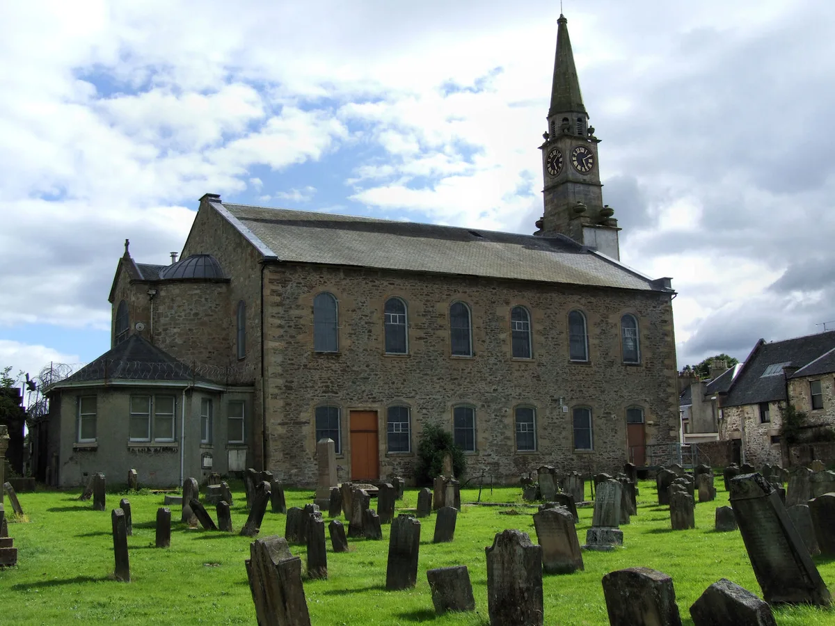
Lesmahagow Old Parish Church
Historic churches · 1.0 km
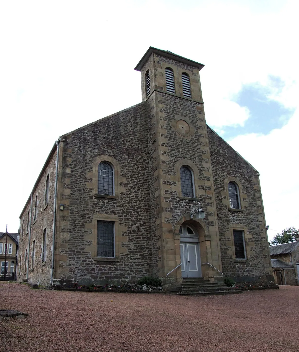
Abbeygreen Church
Historic churches · 1.2 km

Auchlochan Bridge
Historic bridges · 1.3 km

Old Road Bridge, River Nethan, Lesmahagow
Historic bridges · 1.5 km
Milton Bridge, Lesmahagow
Historic bridges · 1.7 km

Warlaw Hill
Mountains & hills · 1.7 km

War Memorial Gate Arch
Memorials & monuments · 1.8 km
Craighead Mill,Lesmahagow
Watermills · 1.8 km
Nearby
📷 5Historic bridges · Scottish Lowlands
Turfholm Bridge
Turfholm Bridge — category C listed building-listed bridge in scotland-central, United Kingdom.
📷 5Historic bridges · Scottish Lowlands
Driveway Bridge Over River Nethan, Birkwood
Driveway Bridge Over River Nethan, Birkwood — category B listed building-listed bridge in scotland-central, United Kingdom.
📷 5📷 3Abbeys & priories · Scottish Lowlands
Ruins of Lesmahagow Priory
Ruins of Lesmahagow Priory — a abbey in scotland-central, United Kingdom.
📷 3Historic churches · Scottish Lowlands
Lesmahagow Old Parish Church
Lesmahagow Old Parish Church — church in South Lanarkshire, Scotland, UK.
📷 3Historic churches · Scottish Lowlands
Abbeygreen Church
Abbeygreen Church — church building in Lesmahagow, South Lanarkshire, Scotland, UK.
Where to eat & stay near Bridge, South Driveway, Lesmahagow
Places to stay
 📷 5
📷 5Campsites · Scottish Lowlands
Collierhall Farm Caravan Site
Collierhall Farm Caravan Site — a campsite in scotland central.
 📷 5
📷 5Caravan parks · Scottish Lowlands
Clyde Valley Caravan Park
Clyde Valley Caravan Park — a caravan park in scotland central.
 📷 5
📷 5Hotels · Scottish Lowlands
New Lanark Mill Hotel
New Lanark Mill Hotel — a hotel in scotland central.
 📷 5
📷 5 📷 5
📷 5Hostels · Scottish Lowlands
Scottish Equi Complex
Scottish Equi Complex — a hostel in scotland central.
 📷 5
📷 5Caravan parks · Scottish Lowlands
Newhouse Park Farm
Newhouse Park Farm — a caravan park in scotland central.
Places to eat & drink
 📷 7
📷 7Historic pubs · Scottish Lowlands
The Clydesdale Inn
The Clydesdale Inn in Scotland Central, United Kingdom.
 📷 7
📷 7Historic pubs · Scottish Lowlands
Douglas Arms Hotel, Douglas
Douglas Arms Hotel, Douglas in Scotland Central, United Kingdom.
 📷 6
📷 6Historic pubs · Scottish Lowlands
74 Main Street, Carnwath
74 Main Street, Carnwath in Scotland Central, United Kingdom.
 📷 7
📷 7Historic pubs · Scottish Lowlands
Post Horn Hotel, Crawford
Post Horn Hotel, Crawford in Scotland Lowlands, United Kingdom.
 📷 5
📷 5Historic pubs · Central Scotland
The Rowan Tree Inn, 62 Old Mill Road, Uddingston
The Rowan Tree Inn, 62 Old Mill Road, Uddingston in Scotland Central, United Kingdom.
More bridges in this region
 📷 5
📷 5 📷 3
📷 3Historic bridges · Scottish Lowlands
Spittal-on-Rule
Spittal-on-Rule in England North East, United Kingdom.
 📷 4
📷 4Historic bridges · Scottish Lowlands
Coldstream Bridge
Coldstream Bridge in England North East, United Kingdom.
 📷 3
📷 3Frequently asked questions
- Where is Bridge, South Driveway, Lesmahagow?
- Bridge, South Driveway, Lesmahagow is in the Scottish Lowlands, United Kingdom (postcode ML11 0JP).
- What is Bridge, South Driveway, Lesmahagow?
- Bridge, South Driveway, Lesmahagow — category C listed building-listed bridge in scotland-central, United Kingdom.
- How do I get to Bridge, South Driveway, Lesmahagow?
- The nearest railway station is Clyde Valley Station, about 7.4 km away. The nearest town is Coalburn. Drivers can use postcode ML11 0JP.
- Is Bridge, South Driveway, Lesmahagow a listed building?
- Bridge, South Driveway, Lesmahagow is officially recognised as category C listed building listed.
- Is Bridge, South Driveway, Lesmahagow free to visit?
- Yes, Bridge, South Driveway, Lesmahagow is free to enter.
- How do I get to Bridge, South Driveway, Lesmahagow?
- The nearest railway station is Clyde Valley Station, about 7.4 km away. Drivers can navigate to postcode ML11 0JP.