
Historic bridges · South East England
Bridge Over The Tillingbourne
In or near Wonersh.
Bridge Over The Tillingbourne — Grade II listed building-listed bridge in england-london, United Kingdom.

Colin Smith — CC BY-SA 2.0 via Wikimedia Commons licence

Plan your visit
- Typical visit
- 15 min–30 min
- Nearest railway station
- Gomshall · 1.6 km
- Free entry
- Dog-friendly
- Wheelchair accessible
Getting there & planning your visit
To visit the Bridge Over The Tillingbourne, the nearest railway station is Gomshall, located 1.6 km away. Entry is free, and the site is wheelchair accessible. The postcode for sat-nav is GU5 9HE.
About
Bridge Over The Tillingbourne is a Grade II listed building-listed bridge in england-london, United Kingdom, registered on the National Heritage List for England (NHLE entry 1029489). Listed status protects buildings and structures of special architectural or historic interest. See the linked Wikipedia article for further details.
Photo gallery
See it from the streetimagery from 2018
Imagery © Mapillary contributors, CC BY-SA 4.0
Heritage listing
Details TW 0647-0747 SHERE CP MIDDLE STREET 12/236 Bridge over the Tillingbourne GV II Bridge. Mid C18. Brown brick with wooden coping of triangular section. Small and low with two small arches separated by buttress. Balustrade set back behind pentice course. Included for Group Value as important village feature. Listing NGR: TQ0731447829 Legacy The contents of this record have been generated from a legacy data system. Legacy System number: 288503 Legacy System: LBS
From the Historic England List Entry under OGL v3.
Official information
Shere Museum is located in the Tillingbourne Valley of Surrey and showcases a diverse collection of artifacts and documents relevant to the local area. Visitors can explore the history of Shere Parish and access archives for research purposes.
Protected designations
- Area of Outstanding Natural Beauty: Surrey Hills
Designations sourced from Natural England open data under OGL v3.
Place summary
Bridge Over The Tillingbourne is a Grade II listed bridge located in London. Its designation reflects its historical significance and architectural merit within the region.
AI-generated from the structured facts on this page (operator, designation, listing, era). Not a substitute for visiting.
- Coordinates
- 51.2196, -0.4648
- County
- Surrey
- District
- Guildford
- Parish
- Shere
- Postcode
- GU5 9HE
- Parliamentary constituency
- Godalming and Ash
- Phone
- 01483 202769
- Nearest railway station
- Gomshall — 1.6 km
- Opening
- Open 2pm to 5pm Saturdays, Sundays and some bank holidays
- Official site
- www.sheremuseum.co.uk
Sources
- wikidata: Q26280690 (CC0)
Other places nearby

Shere War Memorial
Memorials & monuments · 0.1 km

Shere Museum
Museums · 0.1 km
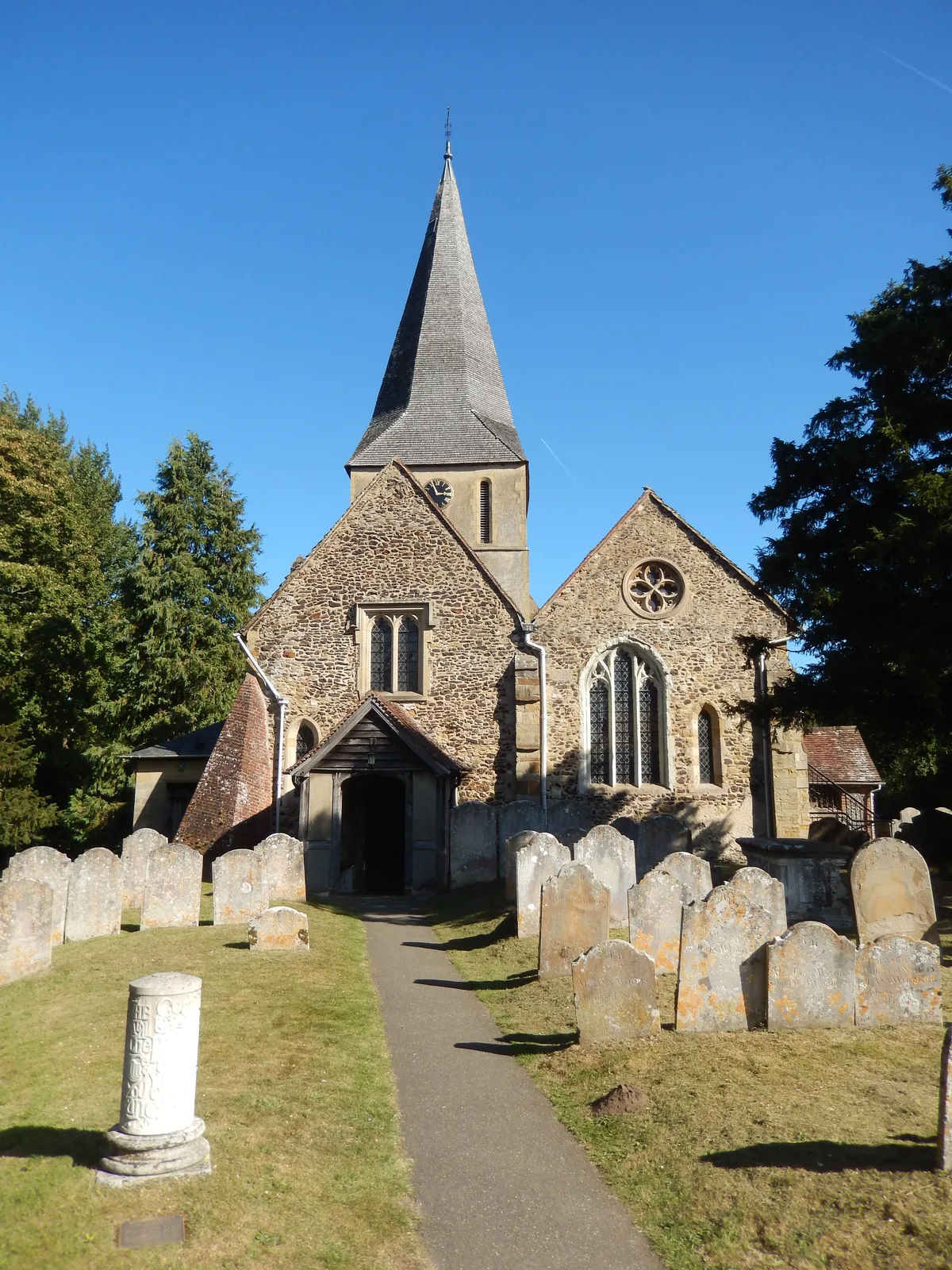
The Church of St James
Historic churches · 0.1 km

BW 153
Mountain bike trails · 0.3 km

Shere
Museums · 0.3 km

Dark Lane
Mountain bike trails · 0.5 km

BW 150
Mountain bike trails · 0.5 km

BW 153
Mountain bike trails · 0.6 km

Netley House
Manor houses · 0.8 km

BW 143
Mountain bike trails · 0.8 km

Albury Park
Manor houses · 0.9 km
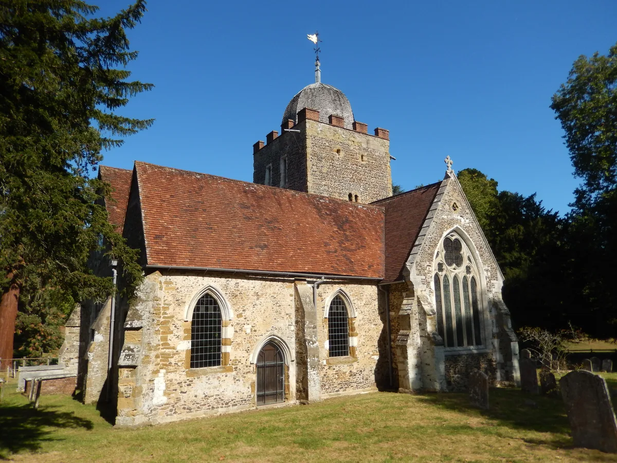
Old St Peter and St Paul's Church, Albury
Historic churches · 1.0 km
Nearby
📷 5Memorials & monuments · South East England
Shere War Memorial
Shere War Memorial — Grade II listed building-listed memorial in england-london, United Kingdom.
📷 5Museums · South East England
Shere Museum
Shere Museum — a museum in england-london, United Kingdom.
📷 5Historic churches · South East England
The Church of St James
The Church of St James — Grade I listed church in Shere, Surrey, England, UK.
📷 5📷 5Museums · South East England
Shere
Shere — a museum in england-london, United Kingdom.
📷 5Where to eat & stay near Bridge Over The Tillingbourne
Places to stay
 📷 5
📷 5Caravan parks · South East England
Edgeley Holiday Park
Edgeley Holiday Park — a caravan park in england south east.
 📷 5
📷 5Campsites · South East England
Bentley Copse Activity Centre
Bentley Copse Activity Centre — a campsite in england south east.
 📷 5
📷 5 📷 5
📷 5Hostels · South East England
Hurtwood Hideout
Hurtwood Hideout — a hostel in england south east.
 📷 7
📷 7 📷 7
📷 7Places to eat & drink
 📷 7
📷 7Historic pubs · South East England
The Bulls Head Public House
The Bulls Head Public House in England South East, United Kingdom.
 📷 7
📷 7Historic pubs · South East England
Duke Of Wellington Public House
Duke Of Wellington Public House in England South East, United Kingdom.
 📷 7
📷 7Historic pubs · South East England
The Seahorse Public House
The Seahorse Public House in England South East, United Kingdom.
 📷 6
📷 6Historic pubs · South East England
The Royal Oak Public House
The Royal Oak Public House in England South East, United Kingdom.
 📷 7
📷 7 📷 7
📷 7Historic pubs · South East England
Horse And Groom Public House
Horse And Groom Public House in England South East, United Kingdom.
More bridges in this region
 📷 5
📷 5Historic bridges · South East England
Briary Hill Bridge east
Briary Hill Bridge east is a historic bridge in the United Kingdom.
 📷 5
📷 5Historic bridges · South East England
Briary Hill Bridge west
Briary Hill Bridge west is a historic bridge in the United Kingdom.
 📷 5
📷 5Historic bridges · South East England
Bridge 157 VIR (Bath Hard Road)
Bridge 157 VIR (Bath Hard Road) is a historic bridge in the United Kingdom.
 📷 5
📷 5Historic bridges · South East England
Dorking Arch Bridge
Dorking Arch Bridge is a historic bridge in the United Kingdom.
Frequently asked questions
- Where is Bridge Over The Tillingbourne?
- Bridge Over The Tillingbourne is in Surrey, London, United Kingdom (postcode GU5 9HE), in the parish of Shere.
- What is Bridge Over The Tillingbourne?
- Bridge Over The Tillingbourne — Grade II listed building-listed bridge in england-london, United Kingdom.
- How do I get to Bridge Over The Tillingbourne?
- The nearest railway station is Gomshall, about 1.6 km away. Drivers can use postcode GU5 9HE.
- Is Bridge Over The Tillingbourne a listed building?
- Bridge Over The Tillingbourne is officially recognised as Grade II listed building listed.
- Is Bridge Over The Tillingbourne a protected site?
- Yes — Bridge Over The Tillingbourne is part of the Surrey Hills National Landscape (AONB).
- Is Bridge Over The Tillingbourne free to visit?
- Yes, Bridge Over The Tillingbourne is free to enter.
- How do I get to Bridge Over The Tillingbourne?
- The nearest railway station is Gomshall, about 1.6 km away. Drivers can navigate to postcode GU5 9HE.