
Historic bridges · South West England
Bridge Over The Road 80 Yards North West Of Mount Pleasant
In or near Badminton.
Bridge Over The Road 80 Yards North West Of Mount Pleasant — Grade II listed building-listed bridge in england-south-east, United Kingdom.

Mike Faherty — CC BY-SA 2.0 via Wikimedia Commons licence

Plan your visit
- Typical visit
- 15 min–30 min
- Nearest railway station
- Yate · 10.0 km
- Free entry
- Dog-friendly
Getting there & planning your visit
To visit the Bridge Over The Road 80 Yards North West Of Mount Pleasant, the nearest railway station is Yate, located 10 km away. The postcode for navigation is GL9 1EH. Entry to the bridge is free.
About
Bridge Over The Road 80 Yards North West Of Mount Pleasant is a Grade II listed building-listed bridge in england-south-east, United Kingdom, registered on the National Heritage List for England (NHLE entry 1155608). Listed status protects buildings and structures of special architectural or historic interest. See the linked Wikipedia article for further details.
Photo gallery
See it from the streetimagery from 2026
Imagery © Mapillary contributors, CC BY-SA 4.0
Heritage listing
Details BADMINTON C.P. THE TYNING, BATH VERGE ST 8082 12/92 Bridge over the road 80 yards to north-west of Mount G.V. Pleasant II Bridge. Mid C19. Rubble. Single span segmental arch with keystone and impost. Plain band. Parapet. The bridge carries the private drive to the main (north) entrance of Badminton House. Listing NGR: ST8010382712 Legacy The contents of this record have been generated from a legacy data system. Legacy System number: 34308 Legacy System: LBS
From the Historic England List Entry under OGL v3.
Protected designations
- Area of Outstanding Natural Beauty: Cotswolds
Designations sourced from Natural England open data under OGL v3.
Place summary
Bridge Over The Road 80 Yards North West Of Mount Pleasant is a Grade II listed bridge located in Badminton, South-East England. It is notable for its historical significance and architectural features.
AI-generated from the structured facts on this page (operator, designation, listing, era). Not a substitute for visiting.
- Coordinates
- 51.5430, -2.2883
- District
- South Gloucestershire
- Parish
- Badminton
- Postcode
- GL9 1EH
- Parliamentary constituency
- Thornbury and Yate
- Nearest railway station
- Yate — 10 km
Sources
- wikidata: Q26449052 (CC0)
Other places nearby

Badminton
Towns & cities · 0.2 km

Slait Lodge
Follies · 0.4 km
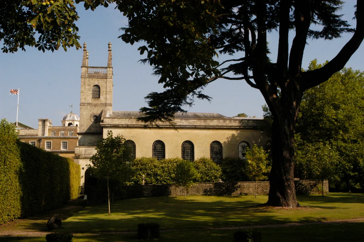
St Michael and All Angels Church, Badminton
Historic churches · 0.6 km

Badminton House
Historic houses · 0.6 km

Castle Barm
Follies · 0.8 km

Hermit's Cell
Follies · 1.5 km

Warrne Barn
Follies · 3.1 km
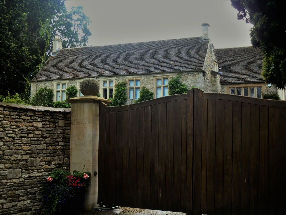
Luckington Manor
Stately homes · 3.3 km

The Pump House
Historic houses · 3.4 km

The Ragged Castle
Follies · 3.4 km

Unidentified Monument In Churchyard About 4 Metres South West Of West Tower Of Church Of St Mary
Memorials & monuments · 3.7 km
Unidentified Monument In Churchyard About 3 Metres South West Of West Tower Of Church Of St Mary
Memorials & monuments · 3.7 km
Nearby
📷 5Towns & cities · South West England
Badminton
Badminton — village and civil parish in Gloucestershire, England.
📷 5📷 5Historic churches · South West England
St Michael and All Angels Church, Badminton
St Michael and All Angels Church, Badminton — Grade I listed church in Badminton, South Gloucestershire, Gloucestershire, England, UK.
Flagship📷 5Historic houses · South West England
Badminton House
Badminton House — a Grade I-listed historic house in england-south-east, United Kingdom.
📷 5📷 5Where to eat & stay near Bridge Over The Road 80 Yards North West Of Mount Pleasant
Places to stay
 📷 5
📷 5Campsites · South West England
Oakfield Farm Camping
Oakfield Farm Camping — a campsite in england south east.
 📷 7
📷 7 📷 7📷 5
Hotels · South West England
Rounceval House Hotel
Rounceval House Hotel — a hotel in england south east.
 📷 5
📷 5Campsites · South West England
Little Wood Caravan Park
Little Wood Caravan Park — a campsite in england south east.
 📷 7
📷 7Hotels · South West England
The Hare & Hounds Hotel
The Hare & Hounds Hotel — a hotel in england west midlands.
Places to eat & drink
 📷 7
📷 7Historic pubs · South West England
The Duke Of Beaufort Public House
The Duke Of Beaufort Public House in England South West, United Kingdom.
 📷 7
📷 7Historic pubs · South West England
The Neeld Arms
The Neeld Arms in England South West, United Kingdom.
 📷 7📷 7📷 7
 📷 5
📷 5Historic pubs · South West England
The Crown And 2 Rear Wings And Outbuilding To Rear
The Crown And 2 Rear Wings And Outbuilding To Rear in England South West, United Kingdom.
More bridges in this region
 📷 5
📷 5Historic bridges · South West England
Avoncliff Aqueduct
Avoncliff Aqueduct is a historic bridge in the United Kingdom.
📷 5Historic bridges · South West England
Avoncliff Aqueduct
Avoncliff Aqueduct is a historic bridge in the United Kingdom.
 📷 5
📷 5Historic bridges · South West England
Bradford Viaduct
Bradford Viaduct is a historic bridge in the United Kingdom.
 📷 5
📷 5Historic bridges · South West England
Chippenham Viaduct
Chippenham Viaduct is a historic bridge in the United Kingdom.
Frequently asked questions
- Where is Bridge Over The Road 80 Yards North West Of Mount Pleasant?
- Bridge Over The Road 80 Yards North West Of Mount Pleasant is in South-East England, United Kingdom (postcode GL9 1EH), in the parish of Badminton.
- What is Bridge Over The Road 80 Yards North West Of Mount Pleasant?
- Bridge Over The Road 80 Yards North West Of Mount Pleasant — Grade II listed building-listed bridge in england-south-east, United Kingdom.
- How do I get to Bridge Over The Road 80 Yards North West Of Mount Pleasant?
- The nearest railway station is Yate, about 10.0 km away. Drivers can use postcode GL9 1EH.
- Is Bridge Over The Road 80 Yards North West Of Mount Pleasant a listed building?
- Bridge Over The Road 80 Yards North West Of Mount Pleasant is officially recognised as Grade II listed building listed.
- Is Bridge Over The Road 80 Yards North West Of Mount Pleasant a protected site?
- Yes — Bridge Over The Road 80 Yards North West Of Mount Pleasant is part of the Cotswolds National Landscape (AONB).
- Is Bridge Over The Road 80 Yards North West Of Mount Pleasant free to visit?
- Yes, Bridge Over The Road 80 Yards North West Of Mount Pleasant is free to enter.
- How do I get to Bridge Over The Road 80 Yards North West Of Mount Pleasant?
- Drivers can navigate to postcode GL9 1EH. It sits within the Thornbury and Yate parliamentary constituency.