
Historic bridges · East Midlands
Bridge Over Sherbourne Brook, South East Of Sherbourne Mill
In or near Hulland Ward.
Bridge Over Sherbourne Brook, South East Of Sherbourne Mill — Grade II listed building-listed bridge in england-east-midlands, United Kingdom.

Jay Pea — CC BY-SA 2.0 via Wikimedia Commons licence

Plan your visit
- Typical visit
- 15 min–30 min
- Nearest railway station
- Idridgehay · 1.1 km
- Free entry
- Dog-friendly
Getting there & planning your visit
You can reach the Bridge Over Sherbourne Brook by taking a train to Idridgehay station, which is 1.1 km away. The postcode for the location is DE56 2SF. Entry to the bridge is free.
About
Bridge Over Sherbourne Brook, South East Of Sherbourne Mill is a Grade II listed building-listed bridge in england-east-midlands, United Kingdom, registered on the National Heritage List for England (NHLE entry 1335377). Listed status protects buildings and structures of special architectural or historic interest. See the linked Wikipedia article for further details.
Photo gallery
See it from the streetimagery from 2021
Imagery © Mapillary contributors, CC BY-SA 4.0
Heritage listing
Details PARISH OF IDRIDGEHAY AND ALTON HILLCLIFF LANE SK 24 NE 3/39 Bridge over Sherbourne Brook, south east of Sherbourne Mill GV II Road bridge. Late C18. Coursed gritstone rubble road bridge over the River Ecclesbourne with two semi-circular arches with cutwaters to upstream and downstream sides. Above archway a plain stringcourse with parapet above. Listing NGR: SK2928647748 Legacy The contents of this record have been generated from a legacy data system. Legacy System number: 79004 Legacy System: LBS
From the Historic England List Entry under OGL v3.
Place summary
Bridge Over Sherbourne Brook is a Grade II listed bridge located in the East Midlands, specifically in Idridgehay and Alton, Derbyshire. The structure spans Sherbourne Brook and is recognised for its architectural significance.
AI-generated from the structured facts on this page (operator, designation, listing, era). Not a substitute for visiting.
- Coordinates
- 53.0262, -1.5648
- County
- Derbyshire
- District
- Amber Valley
- Parish
- Idridgehay and Alton
- Postcode
- DE56 2SF
- Parliamentary constituency
- Derbyshire Dales
- Nearest railway station
- Idridgehay — 1.1 km
Sources
- wikidata: Q26619973 (CC0)
Other places nearby

Idridgehay
Villages · 1.0 km

Idridgehay railway station
Heritage railway stations · 1.1 km
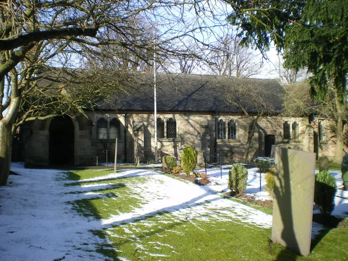
Church of All Saints
Abbeys & priories · 1.2 km

Turnditch
Villages · 1.2 km

Ireton Wood
Villages · 1.4 km

Poplars Farm Campsite
Campsites · 2.7 km

Windley
Villages · 2.8 km

Methodist Sunday School
Chapels · 3.4 km

Alton Manor
Manor houses · 3.4 km
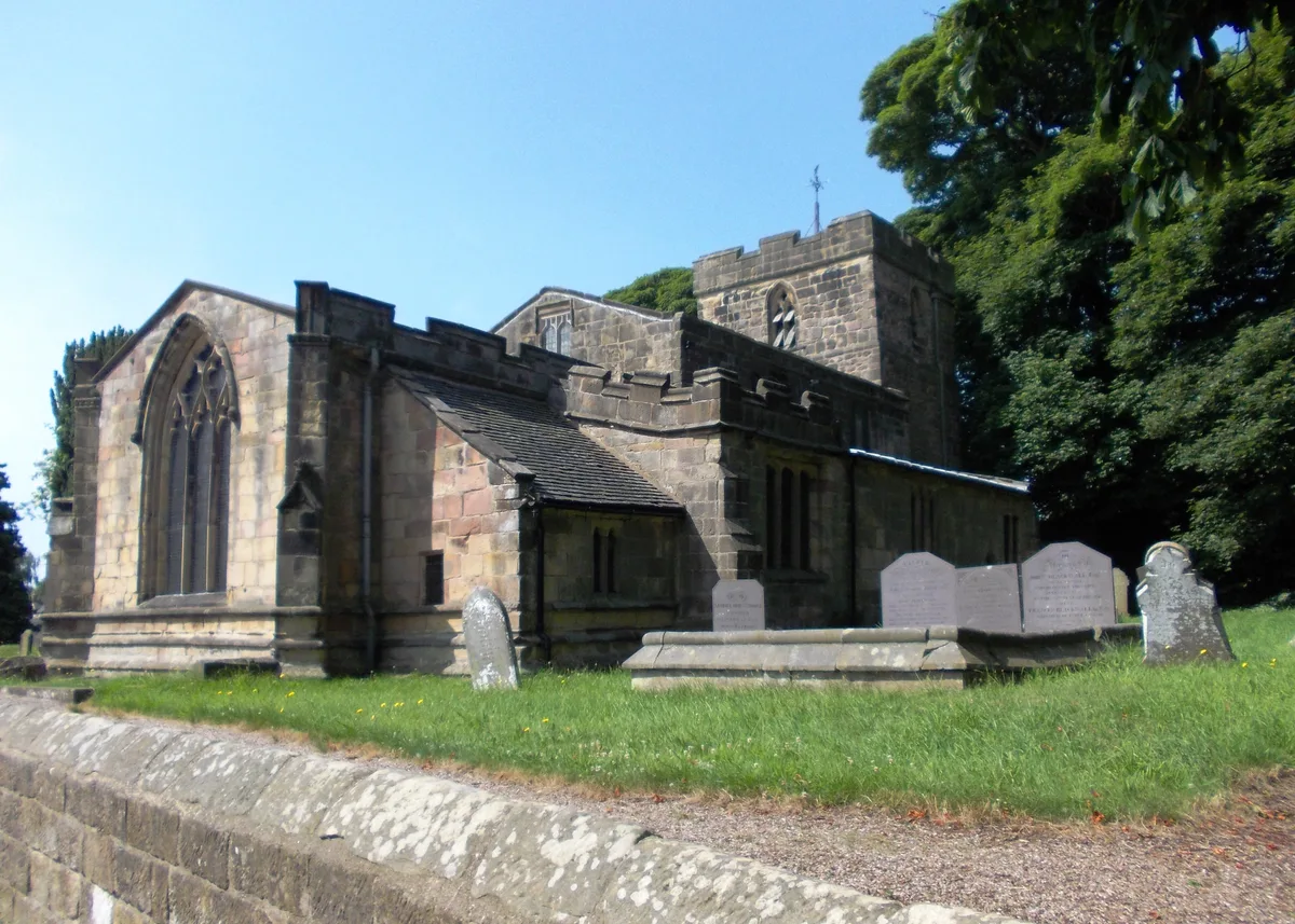
Holy Trinity Church, Kirk Ireton
Abbeys & priories · 3.4 km

Holy Trinity Church, Kirk Ireton
Cathedrals · 3.4 km
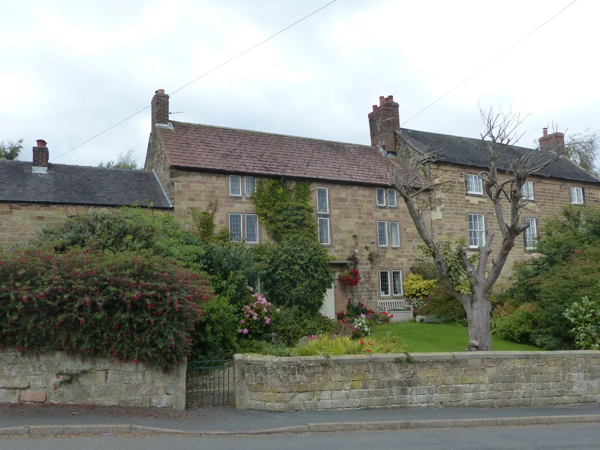
The Manor House
Stately homes · 3.5 km
Nearby
📷 5📷 4Heritage railway stations · East Midlands
Idridgehay railway station
Idridgehay railway station — a Grade II*-listed railway station in england-east-midlands, United Kingdom.
📷 3Abbeys & priories · East Midlands
Church of All Saints
Church of All Saints — church building in Turnditch, Amber Valley, Derbyshire, England, UK.
📷 5📷 5📷 5Campsites · East Midlands
Poplars Farm Campsite
Poplars Farm Campsite — a campsite in england east midlands.
Where to eat & stay near Bridge Over Sherbourne Brook, South East Of Sherbourne Mill
Places to stay
📷 5Campsites · East Midlands
Poplars Farm Campsite
Poplars Farm Campsite — a campsite in england east midlands.
 📷 5
📷 5Caravan parks · East Midlands
Carsington Fields Caravan Park
Carsington Fields Caravan Park — a caravan park in england east midlands.
📷 5Caravan parks · East Midlands
Carsington Water Caravan Club Site
Carsington Water Caravan Club Site — a caravan park in england east midlands.
 📷 5
📷 5Campsites · East Midlands
Tannebaum campsite
Tannebaum campsite — a campsite in england east midlands.
 📷 7
📷 7Hotels · East Midlands
Lion Hotel
Lion Hotel — a hotel in england east midlands.
 📷 5
📷 5Campsites · East Midlands
Higg Lane Farm Campsite
Higg Lane Farm Campsite — a campsite in england east midlands.
Places to eat & drink
 📷 7
📷 7Historic pubs · East Midlands
Puss In Boots Public House
Puss In Boots Public House in England East Midlands, United Kingdom.
 📷 5📷 5
Restaurants · East Midlands
Le Mistral
Le Mistral — a restaurant in england east midlands.
 📷 5
📷 5 📷 5
📷 5 📷 7
📷 7Historic pubs · East Midlands
The William IV Public House
The William IV Public House in England East Midlands, United Kingdom.
More bridges in this region
 📷 5
📷 5Historic bridges · East Midlands
Mill Race Bridge To Market Deeping Mill
Mill Race Bridge To Market Deeping Mill — Grade II listed building-listed bridge in england-london, United Kingdom.
 📷 5
📷 5Historic bridges · East Midlands
Bridge Over West Glen River
Bridge Over West Glen River — Grade II listed building-listed bridge in england-london, United Kingdom.
 📷 5
📷 5Historic bridges · East Midlands
Bridge And Sluices
Bridge And Sluices — Grade II listed building-listed bridge in england-london, United Kingdom.
 📷 5
📷 5Historic bridges · East Midlands
Bridge Over River Gwash
Bridge Over River Gwash — Grade II listed building-listed bridge in england-london, United Kingdom.
Frequently asked questions
- Where is Bridge Over Sherbourne Brook, South East Of Sherbourne Mill?
- Bridge Over Sherbourne Brook, South East Of Sherbourne Mill is in Derbyshire, the East Midlands, United Kingdom (postcode DE56 2SF), in the parish of Idridgehay and Alton.
- What is Bridge Over Sherbourne Brook, South East Of Sherbourne Mill?
- Bridge Over Sherbourne Brook, South East Of Sherbourne Mill — Grade II listed building-listed bridge in england-east-midlands, United Kingdom.
- How do I get to Bridge Over Sherbourne Brook, South East Of Sherbourne Mill?
- The nearest railway station is Idridgehay, about 1.1 km away. Drivers can use postcode DE56 2SF.
- Is Bridge Over Sherbourne Brook, South East Of Sherbourne Mill a listed building?
- Bridge Over Sherbourne Brook, South East Of Sherbourne Mill is officially recognised as Grade II listed building listed.
- Is Bridge Over Sherbourne Brook, South East Of Sherbourne Mill free to visit?
- Yes, Bridge Over Sherbourne Brook, South East Of Sherbourne Mill is free to enter.
- How do I get to Bridge Over Sherbourne Brook, South East Of Sherbourne Mill?
- The nearest railway station is Idridgehay, about 1.1 km away. Drivers can navigate to postcode DE56 2SF.