
Historic bridges · South East England
Bridge Over River Wye To Rear Of Number 21
In or near Hedsor.
Bridge Over River Wye To Rear Of Number 21 — Grade II listed building-listed bridge in england-south-east, United Kingdom.

Shazz — CC BY-SA 2.0 via Wikimedia Commons licence

Plan your visit
- Typical visit
- 15 min–30 min
- Nearest railway station
- Bourne End · 2.0 km
- Free entry
- Dog-friendly
Getting there & planning your visit
To visit the Bridge Over River Wye To Rear Of Number 21, the nearest railway station is Bourne End, located 2 km away. The postcode for the location is HP10 0ET, and entry is free.
About
Bridge Over River Wye To Rear Of Number 21 is a Grade II listed building-listed bridge in england-south-east, United Kingdom, registered on the National Heritage List for England (NHLE entry 1125540). Listed status protects buildings and structures of special architectural or historic interest. See the linked Wikipedia article for further details.
Photo gallery
Heritage listing
Details WOOBURN WOOBURN MANOR PARK SU 98 NW 6/202 Bridge over River Wye to rear of No.21. - - II Footbridge over River Wye. Late C18, of brick, with turfed footway. 2 semi-circular arches with carved head corbel stones, possibly medieval, as keystones. Cut-water on S.E. side, no parapets. River Wye formerly served as moat surrounding grounds of Wooburn House, demolished 1963. Listing NGR: SU9125888071 Legacy The contents of this record have been generated from a legacy data system. Legacy System number: 47085 Legacy System: LBS
From the Historic England List Entry under OGL v3.
Protected designations
- Area of Outstanding Natural Beauty: Chilterns
Designations sourced from Natural England open data under OGL v3.
Place summary
Bridge Over River Wye to Rear of Number 21 is a Grade II listed bridge located in South-East England. Its designation reflects architectural or historical significance, contributing to the region's heritage.
AI-generated from the structured facts on this page (operator, designation, listing, era). Not a substitute for visiting.
- Coordinates
- 51.5841, -0.6843
- District
- Buckinghamshire
- Parish
- Wooburn
- Postcode
- HP10 0ET
- Parliamentary constituency
- Beaconsfield
- Nearest railway station
- Bourne End — 2 km
Sources
- wikidata: Q26418535 (CC0)
Other places nearby

Warren Nature Reserve
Wildlife reserves · 0.1 km
The Warren Nature reserve
Forests & woodlands · 0.2 km

Wooburn War Memorial
Memorials & monuments · 0.3 km

Church of St Paul
Historic churches · 0.4 km

Wooburn
Villages · 0.8 km

Odds Farm Park
Theme parks · 1.4 km
Sheepcote Manor
Manor houses · 1.6 km

Lord Bostons Folly
Follies · 1.6 km

Hedsor
Towns & cities · 1.6 km

Holtspur Cemetery
Cemeteries · 1.8 km

Hedsor House
Manor houses · 2.1 km
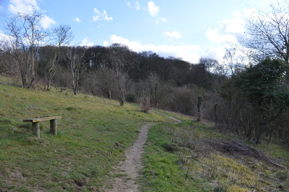
Holtspur Bank
Wildlife reserves · 2.2 km
Nearby
📷 5Wildlife reserves · South East England
Warren Nature Reserve
Warren Nature Reserve — local nature reserve in Buckinghamshire, England.
📷 5Forests & woodlands · South East England
The Warren Nature reserve
The Warren Nature reserve is a forest or woodland in the United Kingdom.
📷 5Memorials & monuments · South East England
Wooburn War Memorial
Wooburn War Memorial — Grade II listed building-listed memorial in england-south-east, United Kingdom.
📷 5Historic churches · South East England
Church of St Paul
Church of St Paul — church in Wooburn, Buckinghamshire, England, UK.
📷 5📷 5Theme parks · South East England
Odds Farm Park
Odds Farm Park — a theme park in england-south-east, United Kingdom.
Where to eat & stay near Bridge Over River Wye To Rear Of Number 21
Places to stay
 📷 5
📷 5Hotels · South East England
Cliveden House
Cliveden House — a hotel in england south east.
 📷 5
📷 5Hotels · South East England
Bel and the Dragon
Bel and the Dragon — a hotel in england south east.
 📷 7
📷 7 📷 5
📷 5Hotels · South East England
Burnham Beeches Hotel
Burnham Beeches Hotel — a hotel in england south east.
 📷 5
📷 5Hotels · South East England
Taplow House Hotel
Taplow House Hotel — a hotel in england south east.
 📷 5
📷 5Hotels · South East England
Compleat Angler
Compleat Angler — a hotel in england south east.
Places to eat & drink
 📷 5
📷 5Restaurants · South East England
The Ferry
The Ferry — a restaurant in england south east.
 📷 7
📷 7Historic pubs · South East England
The Feathers Public House
The Feathers Public House in England South East, United Kingdom.
 📷 5
📷 5 📷 5
📷 5Historic pubs · South East England
The Crooked Billet
The Crooked Billet in England South East, United Kingdom.
 📷 5
📷 5Restaurants · South East England
The Greyhound
The Greyhound — a restaurant in england west midlands.
 📷 7
📷 7Restaurants · South East England
Browns
Browns — a restaurant in england west midlands. Cuisine: british. Brand: Browns.
More bridges in this region
 📷 5
📷 5Historic bridges · South East England
Briary Hill Bridge east
Briary Hill Bridge east is a historic bridge in the United Kingdom.
 📷 5
📷 5Historic bridges · South East England
Briary Hill Bridge west
Briary Hill Bridge west is a historic bridge in the United Kingdom.
 📷 5
📷 5Historic bridges · South East England
Bridge 157 VIR (Bath Hard Road)
Bridge 157 VIR (Bath Hard Road) is a historic bridge in the United Kingdom.
 📷 5
📷 5Historic bridges · South East England
Dorking Arch Bridge
Dorking Arch Bridge is a historic bridge in the United Kingdom.
Frequently asked questions
- Where is Bridge Over River Wye To Rear Of Number 21?
- Bridge Over River Wye To Rear Of Number 21 is in South-East England, United Kingdom (postcode HP10 0ET), in the parish of Wooburn.
- What is Bridge Over River Wye To Rear Of Number 21?
- Bridge Over River Wye To Rear Of Number 21 — Grade II listed building-listed bridge in england-south-east, United Kingdom.
- How do I get to Bridge Over River Wye To Rear Of Number 21?
- The nearest railway station is Bourne End, about 2.0 km away. The nearest town is Hedsor. Drivers can use postcode HP10 0ET.
- Is Bridge Over River Wye To Rear Of Number 21 a listed building?
- Bridge Over River Wye To Rear Of Number 21 is officially recognised as Grade II listed building listed.
- Is Bridge Over River Wye To Rear Of Number 21 a protected site?
- Yes — Bridge Over River Wye To Rear Of Number 21 is part of the Chilterns National Landscape (AONB).
- Is Bridge Over River Wye To Rear Of Number 21 free to visit?
- Yes, Bridge Over River Wye To Rear Of Number 21 is free to enter.
- How do I get to Bridge Over River Wye To Rear Of Number 21?
- The nearest railway station is Bourne End, about 2.0 km away. Drivers can navigate to postcode HP10 0ET.