
Historic bridges · East Midlands
Bridge Over River To South West Of Lomgford Mill
In or near Longford.
Bridge Over River To South West Of Lomgford Mill — Grade II listed building-listed bridge in england-east-midlands, United Kingdom.

JThomas — CC BY-SA 2.0 via Wikimedia Commons licence

Plan your visit
- Typical visit
- 15 min–30 min
- Nearest railway station
- Tutbury and Hatton · 7.8 km
- Free entry
- Dog-friendly
Getting there & planning your visit
To visit the Bridge Over River To South West Of Longford Mill, the nearest railway station is Tutbury and Hatton, located 7.8 km away. The postcode for the site is DE6 3DR, and entry is free.
About
Bridge Over River To South West Of Lomgford Mill is a Grade II listed building-listed bridge in england-east-midlands, United Kingdom, registered on the National Heritage List for England (NHLE entry 1109751). Listed status protects buildings and structures of special architectural or historic interest. See the linked Wikipedia article for further details.
Photo gallery
Heritage listing
Details SK 23 NW PARISH OF LONGFORD LONGFORD LANE 6/42 Bridge over river to south- west of Longford Mill GV II Road bridge. 1842, built for Thomas Coke, Earl of Leicester. Red brick with stone dressings. Wide basket headed arch with raised stone voussoirs and central keystone. To either side smaller stiled semi-circular headed arches, also with raised stone voussoirs. Brick spandrels with plain raised stone band above and brick parapets, topped by flat stone copings. Walls curve upwards in a shallow curve to centre and finish to each end in a brick pier with large coping stone. Silver Jubilee plaque on north wall to road side, also a plaque, inscribed 'These county bridges were erected at the sole expense of Thomas, William,Earl of Leicester AD MDCCC XL11'. Listing NGR: SK2194237482 Legacy The contents of this record have been generated from a legacy data system. Legacy System number: 81272 Legacy System: LBS
From the Historic England List Entry under OGL v3.
Place summary
The Bridge Over River to South West of Longford Mill is a Grade II listed bridge located in Longford, Derbyshire, within the East Midlands region. Its designation reflects its historical and architectural significance in the area.
AI-generated from the structured facts on this page (operator, designation, listing, era). Not a substitute for visiting.
- Coordinates
- 52.9343, -1.6751
- County
- Derbyshire
- District
- Derbyshire Dales
- Parish
- Longford
- Postcode
- DE6 3DR
- Parliamentary constituency
- Derbyshire Dales
- Nearest railway station
- Tutbury and Hatton — 7.8 km
Sources
- wikidata: Q26403443 (CC0)
Other places nearby

Longford
Villages · 0.0 km
Bridge Over Mill Tail Of Longford Mill
Historic bridges · 0.1 km

Longford
Towns & cities · 1.0 km

Shrunken medieval village and moated site at Thurvaston
Vineyards · 2.4 km

Hollington
Villages · 2.4 km

Medieval settlement, including site of chapel and part of the open field system, immediately north east of Alkmonton Old Hall Fa
Vineyards · 2.5 km

Osleston Deserted Medieval Village
Archaeological sites · 3.1 km

Christ Church, Long Lane
Historic churches · 3.3 km

Heritage Wood Caravan Site
Caravan parks · 3.5 km

Alkmonton
Towns & cities · 3.7 km
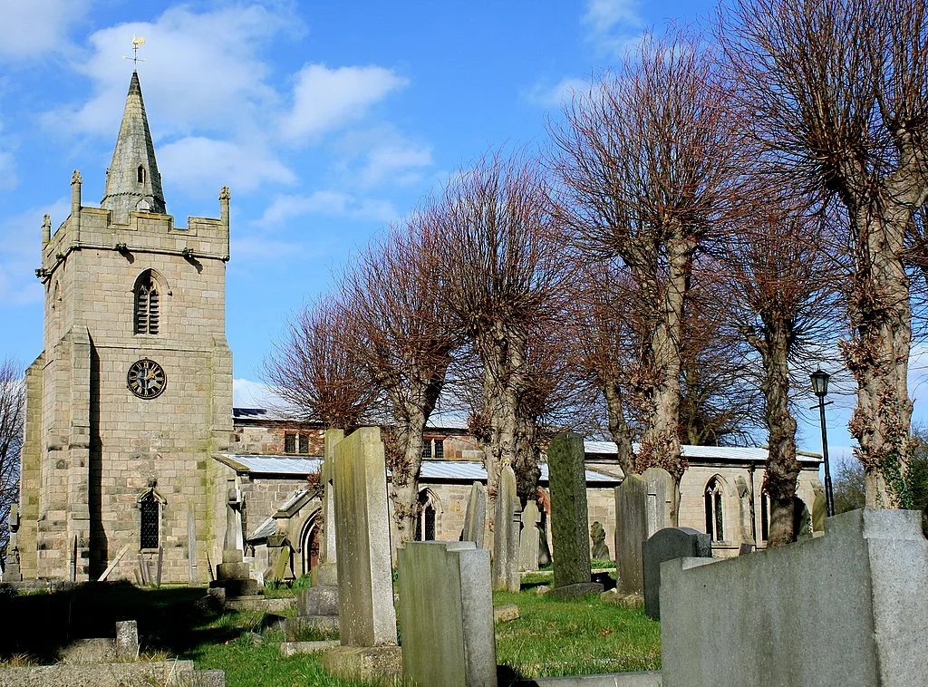
St Michael and All Angels' Church, Church Broughton
Historic churches · 4.0 km

Boylestone
Towns & cities · 4.0 km
Nearby
📷 5📷 3Historic bridges · East Midlands
Bridge Over Mill Tail Of Longford Mill
Bridge Over Mill Tail Of Longford Mill — Grade II listed building-listed bridge in england-east-midlands, United Kingdom.
📷 5Towns & cities · East Midlands
Longford
Longford — village and civil parish in Derbyshire Dales district, Derbyshire, England.
📷 5Vineyards · East Midlands
Shrunken medieval village and moated site at Thurvaston
Shrunken medieval village and moated site at Thurvaston — a UK vineyard in england east midlands, producing English or Welsh wine from cool-climate grape varieties.
📷 5📷 5Vineyards · East Midlands
Medieval settlement, including site of chapel and part of the open field system, immediately north east of Alkmonton Old Hall Fa
Medieval settlement, including site of chapel and part of the open field system, immediately north east of Alkmonton Old Hall Fa — a UK vineyard in england east midlands, producing English or Welsh wine from cool-climate grape varieties.
Where to eat & stay near Bridge Over River To South West Of Lomgford Mill
Places to stay
📷 5Caravan parks · East Midlands
Heritage Wood Caravan Site
Heritage Wood Caravan Site — a caravan park in england east midlands.
 📷 5
📷 5Caravan parks · East Midlands
Lees Hall Farm Caravan Site
Lees Hall Farm Caravan Site — a caravan park in england east midlands.
 📷 5
📷 5Caravan parks · East Midlands
Woodland Grange
Woodland Grange — a caravan park in england east midlands.
 📷 5
📷 5 📷 5
📷 5Campsites · East Midlands
Somersal Mill Farm
Somersal Mill Farm — a campsite in england east midlands.
 📷 5
📷 5Campsites · East Midlands
Ashbourne Camping and Caravaning Club Site
Ashbourne Camping and Caravaning Club Site — a campsite in england east midlands.
Places to eat & drink
 📷 5
📷 5Historic pubs · East Midlands
The Saracen's Head Public House
The Saracen's Head Public House in England East Midlands, United Kingdom.
 📷 7
📷 7Historic pubs · East Midlands
The Green Man And Black's Head Hotel, Attached Inn Sign Bridging Road
The Green Man And Black's Head Hotel, Attached Inn Sign Bridging Road in England West Midlands, United Kingdom.
 📷 5
📷 5Historic pubs · East Midlands
Smiths Wine Tavern
Smiths Wine Tavern in England West Midlands, United Kingdom.
 📷 7
📷 7Historic pubs · East Midlands
George And Dragon Public House
George And Dragon Public House in England West Midlands, United Kingdom.
 📷 5
📷 5Historic pubs · East Midlands
The Cavendish Arms
The Cavendish Arms in England West Midlands, United Kingdom.
 📷 5
📷 5Historic pubs · East Midlands
Okeover Arms Public House
Okeover Arms Public House in England West Midlands, United Kingdom.
More bridges in this region
 📷 5
📷 5Historic bridges · East Midlands
Mill Race Bridge To Market Deeping Mill
Mill Race Bridge To Market Deeping Mill — Grade II listed building-listed bridge in england-london, United Kingdom.
 📷 5
📷 5Historic bridges · East Midlands
Bridge Over West Glen River
Bridge Over West Glen River — Grade II listed building-listed bridge in england-london, United Kingdom.
 📷 5
📷 5Historic bridges · East Midlands
Bridge And Sluices
Bridge And Sluices — Grade II listed building-listed bridge in england-london, United Kingdom.
 📷 5
📷 5Historic bridges · East Midlands
Bridge Over River Gwash
Bridge Over River Gwash — Grade II listed building-listed bridge in england-london, United Kingdom.
Frequently asked questions
- Where is Bridge Over River To South West Of Lomgford Mill?
- Bridge Over River To South West Of Lomgford Mill is in Derbyshire, the East Midlands, United Kingdom (postcode DE6 3DR), in the parish of Longford.
- What is Bridge Over River To South West Of Lomgford Mill?
- Bridge Over River To South West Of Lomgford Mill — Grade II listed building-listed bridge in england-east-midlands, United Kingdom.
- How do I get to Bridge Over River To South West Of Lomgford Mill?
- The nearest railway station is Tutbury and Hatton, about 7.8 km away. Drivers can use postcode DE6 3DR.
- Is Bridge Over River To South West Of Lomgford Mill a listed building?
- Bridge Over River To South West Of Lomgford Mill is officially recognised as Grade II listed building listed.
- Is Bridge Over River To South West Of Lomgford Mill free to visit?
- Yes, Bridge Over River To South West Of Lomgford Mill is free to enter.
- How do I get to Bridge Over River To South West Of Lomgford Mill?
- The nearest railway station is Tutbury and Hatton, about 7.8 km away. Drivers can navigate to postcode DE6 3DR.