
Historic bridges · East Midlands
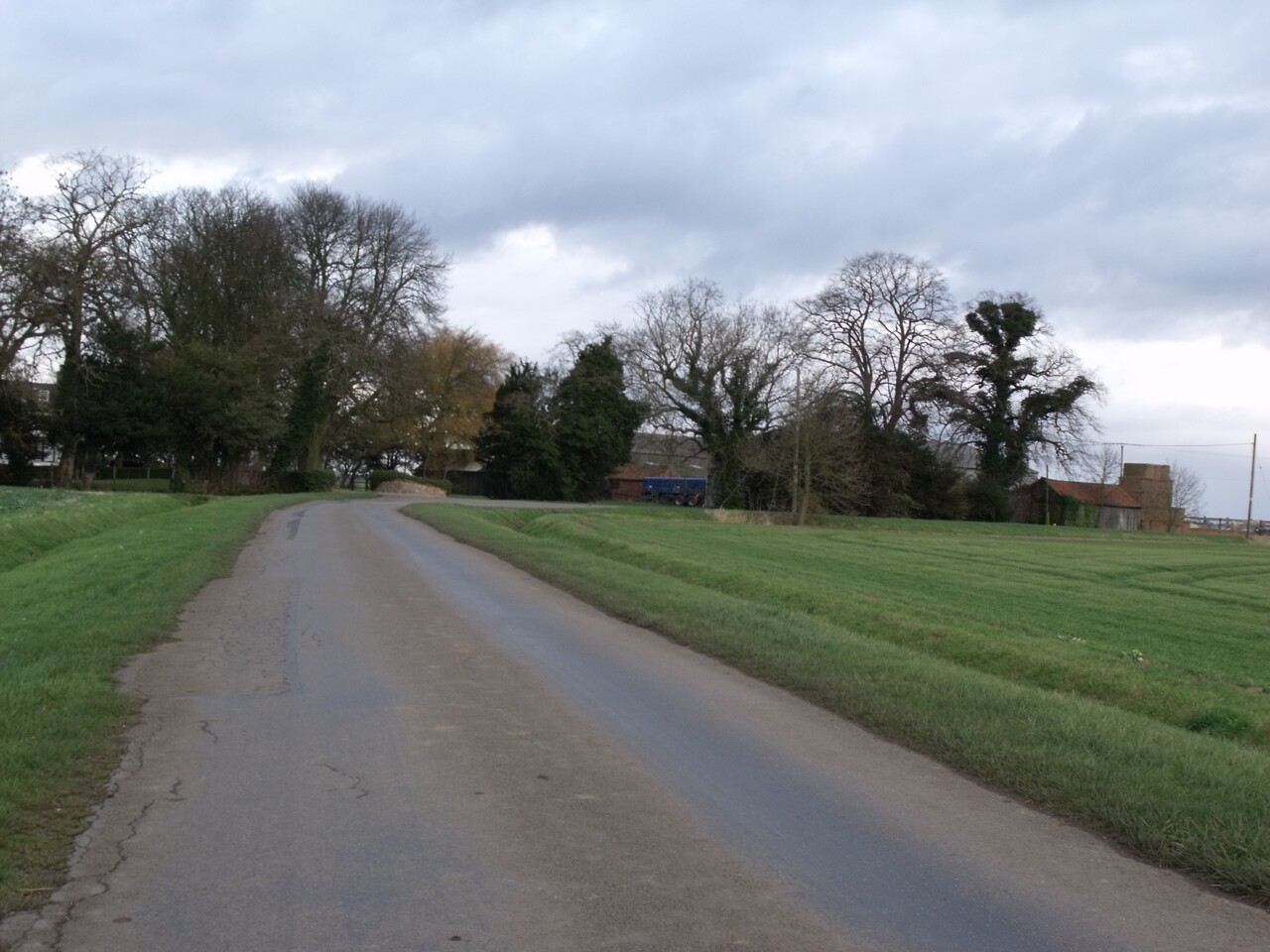
Bridge Over Lade Bank Drain Number 2
In or near Halton Holegate.
Bridge Over Lade Bank Drain Number 2 — Grade II listed building-listed bridge in england-east-midlands, United Kingdom.

J.Hannan-Briggs — CC BY-SA 2.0 via Wikimedia Commons licence

Plan your visit
- Typical visit
- 15 min–30 min
- Nearest railway station
- Thorpe Culvert · 9.7 km
- Free entry
- Dog-friendly
Getting there & planning your visit
To visit the Bridge Over Lade Bank Drain Number 2, the nearest railway station is Thorpe Culvert, located 9.7 km away. The postcode for sat-nav is PE22 9RL, and entry to the bridge is free.
About
Bridge Over Lade Bank Drain Number 2 is a Grade II listed building-listed bridge in england-east-midlands, United Kingdom, registered on the National Heritage List for England (NHLE entry 1308385). Listed status protects buildings and structures of special architectural or historic interest. See the linked Wikipedia article for further details.
Photo gallery
Heritage listing
Details TF 33 SE OLD LEAKE LADE BANK 2/106 Bridge over Lade Bank Drain No.2 II Bridge. c.1805. Probably by John Rennie. Red brick with gritstone capping. Single span. Deep elliptical arch, brick band, battered curved sides, parapet rebuilt C19, curves to end piers. Cast iron plate bearing raised number 2 in centre of arch. One of a number of similar bridges, laid out by John Rennie when the Fens were drained. Listing NGR: TF3965354657 Legacy The contents of this record have been generated from a legacy data system. Legacy System number: 192025 Legacy System: LBS
From the Historic England List Entry under OGL v3.
Protected designations
- Site of Special Scientific Interest: The Wash SSSI
- Ramsar wetland: The Wash
Designations sourced from Natural England open data under OGL v3.
Place summary
Bridge Over Lade Bank Drain Number 2 is a Grade II listed bridge located in the East Midlands. It is recognised for its architectural significance and historical value within the region.
AI-generated from the structured facts on this page (operator, designation, listing, era). Not a substitute for visiting.
- Coordinates
- 53.0709, 0.0830
- County
- Lincolnshire
- District
- Boston
- Parish
- Old Leake
- Postcode
- PE22 9RL
- Parliamentary constituency
- Boston and Skegness
- Nearest railway station
- Thorpe Culvert — 9.7 km
Sources
- wikidata: Q26594994 (CC0)
Other places nearby

Bridge To Hunston House Farmhouse
Historic bridges · 1.5 km

Lade Bank Pumping Station
Canal locks · 1.7 km
Long Acres Touring Park
Caravan parks · 1.8 km

Wrangle Kings Hill
Castles · 2.3 km
King's Hill Castle
Literary houses · 2.3 km

Eastville
Villages · 2.3 km

Eastville, Lincolnshire
Historic churches · 2.3 km

New Leake, Eastville, and Midville War Memorial
Memorials & monuments · 2.6 km

Bridge Number 10 (Station Bridge)
Historic bridges · 2.9 km

Midville Holiday Park
Caravan parks · 3.5 km

Bridge Number 9
Historic bridges · 3.6 km

Bridge Over Barlode Drain Next Bell Water Bridge
Historic bridges · 3.6 km
Nearby
📷 3Historic bridges · East Midlands
Bridge To Hunston House Farmhouse
Bridge To Hunston House Farmhouse — Grade II listed building-listed bridge in england-east-midlands, United Kingdom.
📷 3Canal locks · East Midlands
Lade Bank Pumping Station
Lade Bank Pumping Station — pumping station in Old Leake, Boston, Lincolnshire, England, UK.
📷 5Caravan parks · East Midlands
Long Acres Touring Park
Long Acres Touring Park — a caravan park in england east midlands.
📷 5📷 5Literary houses · East Midlands
King's Hill Castle
King's Hill Castle — a literary house museum in england east midlands.
📷 5Where to eat & stay near Bridge Over Lade Bank Drain Number 2
Places to stay
📷 5Caravan parks · East Midlands
Long Acres Touring Park
Long Acres Touring Park — a caravan park in england east midlands.
📷 5Caravan parks · East Midlands
Midville Holiday Park
Midville Holiday Park — a caravan park in england east midlands.
 📷 5
📷 5Campsites · East Midlands
Greenacres Lakes
Greenacres Lakes — a campsite in england east midlands.
 📷 5
📷 5Caravan parks · East Midlands
Bridge Farm Caravan Park
Bridge Farm Caravan Park — a caravan park in england east midlands.
 📷 5
📷 5Caravan parks · East Midlands
Manor Bungalow CL
Manor Bungalow CL — a caravan park in england east midlands.
 📷 5
📷 5Caravan parks · East Midlands
Green Haven Holidays
Green Haven Holidays — a caravan park in england east midlands.
Places to eat & drink
 📷 5
📷 5 📷 5
📷 5Restaurants · East Midlands
Captain Cod Fish and Chip Restaurant
Captain Cod Fish and Chip Restaurant — a restaurant in england east midlands.
 📷 5
📷 5 📷 5
📷 5 📷 5
📷 5Historic pubs · East Midlands
Lea Gate Public House
Lea Gate Public House in England East, United Kingdom.
 📷 5
📷 5Historic pubs · East Midlands
The Old King's Head
The Old King's Head in England East, United Kingdom.
More bridges in this region
 📷 5
📷 5Historic bridges · East Midlands
Mill Race Bridge To Market Deeping Mill
Mill Race Bridge To Market Deeping Mill — Grade II listed building-listed bridge in england-london, United Kingdom.
 📷 5
📷 5Historic bridges · East Midlands
Bridge Over West Glen River
Bridge Over West Glen River — Grade II listed building-listed bridge in england-london, United Kingdom.
 📷 5
📷 5Historic bridges · East Midlands
Bridge And Sluices
Bridge And Sluices — Grade II listed building-listed bridge in england-london, United Kingdom.
 📷 5
📷 5Historic bridges · East Midlands
Bridge Over River Gwash
Bridge Over River Gwash — Grade II listed building-listed bridge in england-london, United Kingdom.
Frequently asked questions
- Where is Bridge Over Lade Bank Drain Number 2?
- Bridge Over Lade Bank Drain Number 2 is in Lincolnshire, the East Midlands, United Kingdom (postcode PE22 9RL), in the parish of Old Leake.
- What is Bridge Over Lade Bank Drain Number 2?
- Bridge Over Lade Bank Drain Number 2 — Grade II listed building-listed bridge in england-east-midlands, United Kingdom.
- How do I get to Bridge Over Lade Bank Drain Number 2?
- The nearest railway station is Thorpe Culvert, about 9.7 km away. Drivers can use postcode PE22 9RL.
- Is Bridge Over Lade Bank Drain Number 2 a listed building?
- Bridge Over Lade Bank Drain Number 2 is officially recognised as Grade II listed building listed.
- Is Bridge Over Lade Bank Drain Number 2 a protected site?
- Yes — Bridge Over Lade Bank Drain Number 2 is part of the The Wash SSSI Site of Special Scientific Interest and the The Wash Ramsar wetland.
- Is Bridge Over Lade Bank Drain Number 2 free to visit?
- Yes, Bridge Over Lade Bank Drain Number 2 is free to enter.
- How do I get to Bridge Over Lade Bank Drain Number 2?
- Drivers can navigate to postcode PE22 9RL. It sits within the Boston and Skegness parliamentary constituency.