
Historic bridges · East Midlands
Bridge Opposite Manor House
In or near Donisthorpe.
Bridge Opposite Manor House — Grade II listed building-listed bridge in england-east-midlands, United Kingdom.

cris sloan — CC BY-SA 2.0 via Wikimedia Commons licence

Plan your visit
- Typical visit
- 15 min–30 min
- Nearest railway station
- Waterside Station · 5.1 km
- Free entry
- Dog-friendly
Getting there & planning your visit
To visit the Bridge Opposite Manor House, the nearest railway station is Waterside Station, located 5.1 km away. The postcode for sat-nav is LE65 1WN, and entry to the bridge is free.
About
Bridge Opposite Manor House is a Grade II listed building-listed bridge in england-east-midlands, United Kingdom, registered on the National Heritage List for England (NHLE entry 1074311). Listed status protects buildings and structures of special architectural or historic interest. See the linked Wikipedia article for further details.
Photo gallery
Heritage listing
Details This entry was subject to a minor amendment 12/08/2016 PACKINGTON HALL LANE SK 31 SE 5/67 Bridge opposite Manor House (Formerly listed under Mill Street) GV II Bridge of 1823. Red brick with stone coping and tablet with 1823 incised. 2 arches carry road over stream. Listing NGR: SK3591414705 Legacy The contents of this record have been generated from a legacy data system. Legacy System number: 187959 Legacy System: LBS
From the Historic England List Entry under OGL v3.
Protected designations
- Site of Special Scientific Interest: River Mease SSSI
Designations sourced from Natural England open data under OGL v3.
Place summary
The Bridge Opposite Manor House is a Grade II listed bridge located in the East Midlands. It is recognised for its architectural significance and historical value within the region.
AI-generated from the structured facts on this page (operator, designation, listing, era). Not a substitute for visiting.
- Coordinates
- 52.7288, -1.4696
- County
- Leicestershire
- District
- North West Leicestershire
- Parish
- Packington
- Postcode
- LE65 1WN
- Parliamentary constituency
- North West Leicestershire
- Nearest railway station
- Waterside Station — 5.1 km
Sources
- wikidata: Q26336473 (CC0)
Other places nearby

Bridge By Packington Mill
Historic bridges · 0.1 km

Packington
Villages · 0.2 km

Conkers
Family attractions · 1.5 km

Willesley Campsite
Campsites · 1.8 km
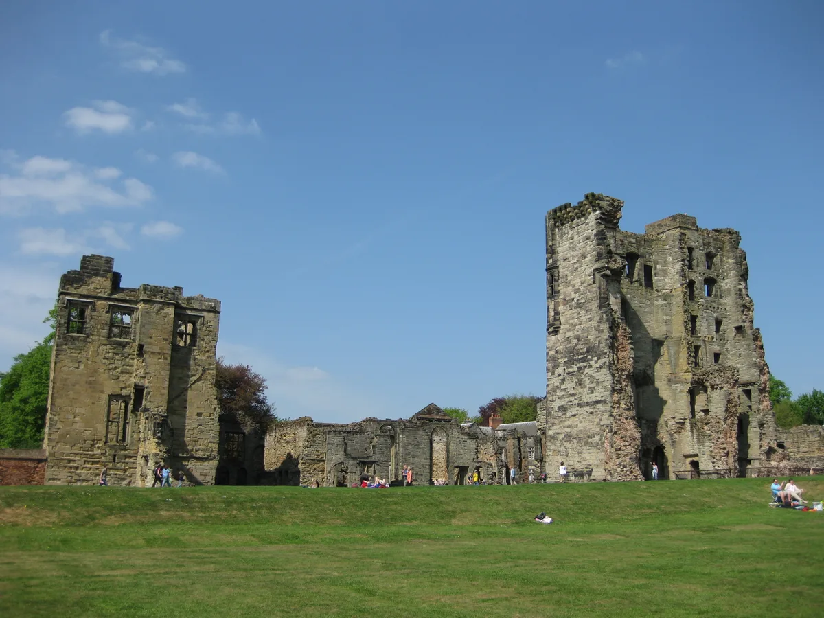
Ashby de la Zouch Castle
Castles · 1.9 km

Loudoun Memorial
Memorials & monuments · 1.9 km

Holy Trinity Church
Historic churches · 1.9 km
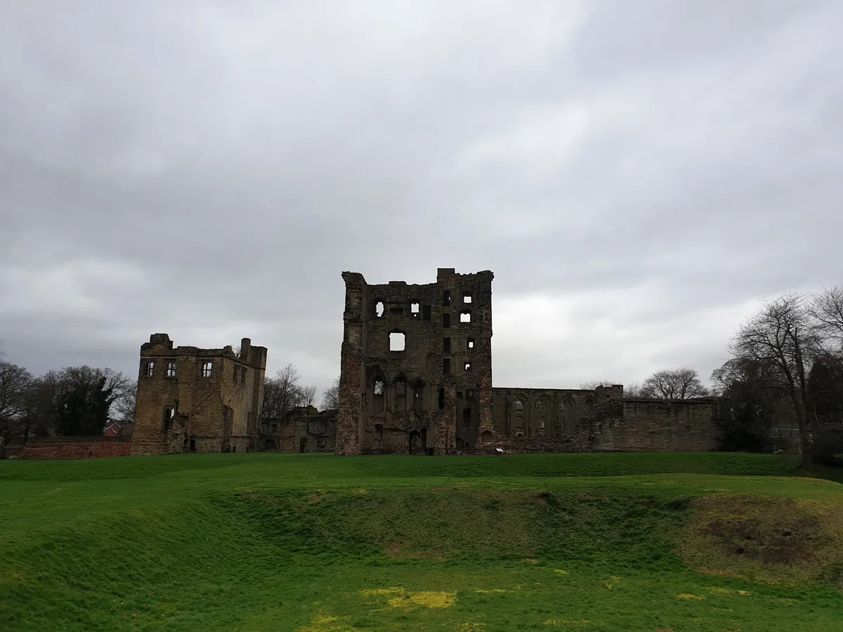
Ashby Castle and associated formal garden
Castles · 2.0 km

Ashby-de-la-Zouch
Castles · 2.0 km

Shoulder Of Mutton Public House
Historic pubs · 2.0 km

Ashby-de-la-Zouch Water Tower
Memorials & monuments · 2.0 km

Ashby-de-la-Zouch War Memorial
Memorials & monuments · 2.0 km
Nearby
📷 3Historic bridges · East Midlands
Bridge By Packington Mill
Bridge By Packington Mill — Grade II listed building-listed bridge in england-east-midlands, United Kingdom.
📷 5Flagship📷 4Family attractions · East Midlands
Conkers
120-acre family activity park in the heart of the National Forest.
📷 5Campsites · East Midlands
Willesley Campsite
Willesley Campsite — a campsite in england east midlands.
📷 5Castles · East Midlands
Ashby de la Zouch Castle
Ashby de la Zouch Castle — Grade I listed ruins in Ashby-de-la-Zouch, United Kingdom.
📷 3Memorials & monuments · East Midlands
Loudoun Memorial
Loudoun Memorial — a memorial in england-east-midlands, United Kingdom.
Where to eat & stay near Bridge Opposite Manor House
Places to stay
📷 5Campsites · East Midlands
Willesley Campsite
Willesley Campsite — a campsite in england east midlands.
 📷 5
📷 5Campsites · South East England
New Forest View Caravan Park and Campsite
New Forest View Caravan Park and Campsite — a campsite in england west midlands.
 📷 5
📷 5Caravan parks · East Midlands
Snowmans Residential Park
Snowmans Residential Park — a caravan park in england east midlands.
 📷 5
📷 5 📷 5
📷 5Caravan parks · East Midlands
Conkers C & C C
Conkers C & C C — a caravan park in england east midlands.
 📷 5
📷 5Campsites · South East England
Spinney View Huts
Spinney View Huts — a campsite in england west midlands.
Places to eat & drink
📷 7Historic pubs · East Midlands
Shoulder Of Mutton Public House
Shoulder Of Mutton Public House in England East Midlands, United Kingdom.
 📷 7
📷 7Restaurants · East Midlands
De La Zouch
De La Zouch — a restaurant in england east midlands.
 📷 5
📷 5Historic pubs · East Midlands
The Black Lion Public House
The Black Lion Public House in England East Midlands, United Kingdom.
 📷 5
📷 5Historic pubs · East Midlands
Three Horseshoes
Three Horseshoes in England East Midlands, United Kingdom.
 📷 7
📷 7Historic pubs · East Midlands
The Wheel Public House
The Wheel Public House in England East Midlands, United Kingdom.
 📷 5
📷 5Historic pubs · East Midlands
The Three Horseshoes Public House
The Three Horseshoes Public House in England East Midlands, United Kingdom.
More bridges in this region
 📷 5
📷 5Historic bridges · East Midlands
Mill Race Bridge To Market Deeping Mill
Mill Race Bridge To Market Deeping Mill — Grade II listed building-listed bridge in england-london, United Kingdom.
 📷 5
📷 5Historic bridges · East Midlands
Bridge Over West Glen River
Bridge Over West Glen River — Grade II listed building-listed bridge in england-london, United Kingdom.
 📷 5
📷 5Historic bridges · East Midlands
Bridge And Sluices
Bridge And Sluices — Grade II listed building-listed bridge in england-london, United Kingdom.
 📷 5
📷 5Historic bridges · East Midlands
Bridge Over River Gwash
Bridge Over River Gwash — Grade II listed building-listed bridge in england-london, United Kingdom.
Frequently asked questions
- Where is Bridge Opposite Manor House?
- Bridge Opposite Manor House is in Leicestershire, the East Midlands, United Kingdom (postcode LE65 1WN), in the parish of Packington.
- What is Bridge Opposite Manor House?
- Bridge Opposite Manor House — Grade II listed building-listed bridge in england-east-midlands, United Kingdom.
- How do I get to Bridge Opposite Manor House?
- The nearest railway station is Waterside Station, about 5.1 km away. Drivers can use postcode LE65 1WN.
- Is Bridge Opposite Manor House a listed building?
- Bridge Opposite Manor House is officially recognised as Grade II listed building listed.
- Is Bridge Opposite Manor House a protected site?
- Yes — Bridge Opposite Manor House is part of the River Mease SSSI Site of Special Scientific Interest.
- Is Bridge Opposite Manor House free to visit?
- Yes, Bridge Opposite Manor House is free to enter.
- How do I get to Bridge Opposite Manor House?
- The nearest railway station is Waterside Station, about 5.1 km away. Drivers can navigate to postcode LE65 1WN.