
Historic bridges · West Midlands
Bridge Number 56 (Burns Wood Bridge)
In or near Bagley.
Bridge Number 56 (Burns Wood Bridge) — Grade II listed building-listed bridge in wales-north, United Kingdom.

Rob Farrow — CC BY-SA 2.0 via Wikimedia Commons licence

Plan your visit
- Typical visit
- 15 min–30 min
- Free entry
- Dog-friendly
About
Bridge Number 56 (Burns Wood Bridge) is a Grade II listed building-listed bridge in wales-north, United Kingdom, registered on the National Heritage List for England (NHLE entry 1176925). Listed status protects buildings and structures of special architectural or historic interest. See the linked Wikipedia article for further details.
Photo gallery
Heritage listing
Details ELLESMERE RURAL C.P. SHROPSHIRE UNION CANAL SJ 43 SW (Llangollen Branch) 9/156 Bridge No. 56 (Burns Wood - Bridge) - II Accommodation bridge. Circa 1797 to 1801 with minor later alterations on William Jessop's and Thomas Telford's Ellesmere Canal. Red brick with flat stone-coped parapet terminating in square corner piers. Elliptical arch with projecting keybricks, flat string course and late C20 oval-shaped plate numbered "56" on east side. This section of the Ellesmere Canal was completed c.1801. The Ellesmere Canal Company amalgamated with the Chester Canal Company in 1813 and became part of the Shropshire Union in 1846. Charles Hadfield, Canals of the West Midiands (3rd edn. 1985), p. 173; Edward Wilson, The Ellesmere and Llangollen Canal (1975), pp. 19-20. Listing NGR: SJ4206333722 Legacy The contents of this record have been generated from a legacy data system. Legacy System number: 260855 Legacy System: LBS
From the Historic England List Entry under OGL v3.
Place summary
Bridge Number 56, also known as Burns Wood Bridge, is a Grade II listed bridge located in North Wales. Its designation reflects its historical and architectural significance within the region.
AI-generated from the structured facts on this page (operator, designation, listing, era). Not a substitute for visiting.
- Coordinates
- 52.8978, -2.8627
- District
- Shropshire
- Parish
- Welshampton and Lyneal
- Postcode
- SY12 0PE
- Parliamentary constituency
- North Shropshire
Sources
- wikidata: Q26471561 (CC0)
Other places nearby

Bridge Number 55 (Little Mill Bridge)
Historic bridges · 0.7 km

Little Mill
Mills · 0.8 km

Newton Mere
Lakes · 0.9 km

Bridge Number 57 (Ellesmere Tunnel)
Historic bridges · 0.9 km

Bridge Number 54 (Misseach Bridge)
Historic bridges · 1.4 km

Tower At Ngr Sj 41066 34863
Memorials & monuments · 1.5 km

Colemere
Villages · 1.6 km

Ellesmere Point
Mountains & hills · 1.7 km
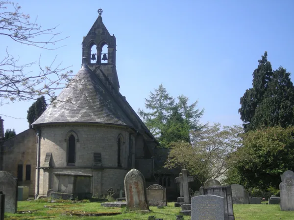
St Michael and All Angels' Church, Welshampton
Historic churches · 1.8 km

Church of St John the Evangelist
Historic churches · 1.9 km

Bridge Number 52 (Greaves Bridge)
Historic bridges · 1.9 km
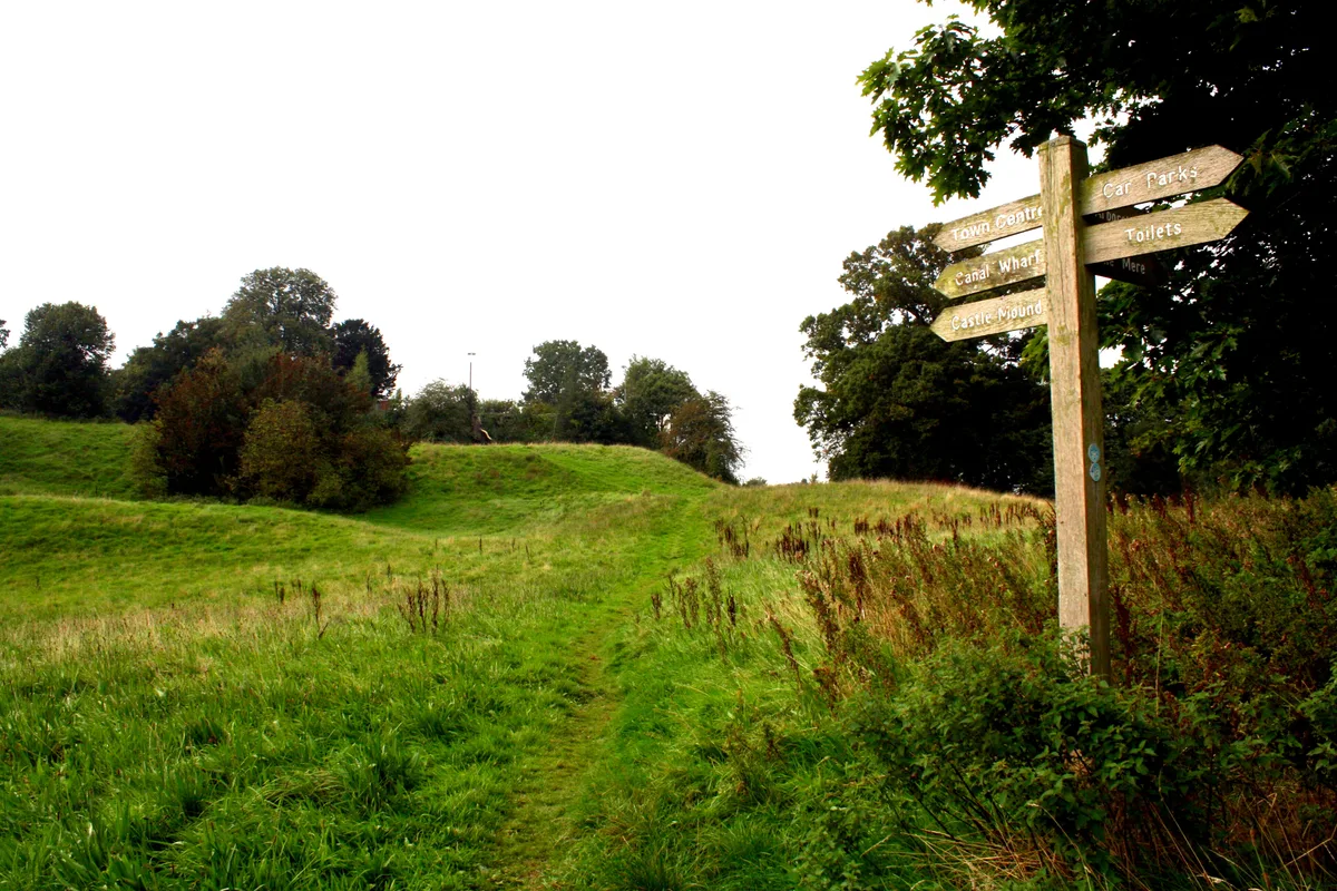
Ellesmere Castle
Castles · 2.0 km
Nearby
📷 3Historic bridges · West Midlands
Bridge Number 55 (Little Mill Bridge)
Bridge Number 55 (Little Mill Bridge) — Grade II listed building-listed bridge in wales-north, United Kingdom.
📷 3Mills · West Midlands
Little Mill
Little Mill — mill in Welshampton and Lyneal, Shropshire, England, UK.
📷 5📷 3Historic bridges · West Midlands
Bridge Number 57 (Ellesmere Tunnel)
Bridge Number 57 (Ellesmere Tunnel) — Grade II listed building-listed bridge in wales-north, United Kingdom.
📷 3Historic bridges · West Midlands
Bridge Number 54 (Misseach Bridge)
Bridge Number 54 (Misseach Bridge) — Grade II listed building-listed bridge in wales-north, United Kingdom.
📷 3Memorials & monuments · West Midlands
Tower At Ngr Sj 41066 34863
Tower At Ngr Sj 41066 34863 — Grade II listed building-listed memorial in wales-north, United Kingdom.
Where to eat & stay near Bridge Number 56 (Burns Wood Bridge)
Places to stay
 📷 5
📷 5Campsites · West Midlands
Hampton Bank Farm Campsite
Hampton Bank Farm Campsite — a campsite in wales north.
 📷 5
📷 5Caravan parks · West Midlands
Fernwood Caravan Park
Fernwood Caravan Park — a caravan park in wales north.
 📷 5
📷 5Caravan parks · West Midlands
Newnes Touring Caravan Park
Newnes Touring Caravan Park — a caravan park in wales north.
 📷 5
📷 5Caravan parks · West Midlands
Gadlas Park Holiday Cabins
Gadlas Park Holiday Cabins — a caravan park in wales north.
 📷 5
📷 5 📷 5
📷 5Caravan parks · West Midlands
The Trotting Mare Caravan Park
The Trotting Mare Caravan Park — a caravan park in wales north.
Places to eat & drink
 📷 7
📷 7 📷 5
📷 5 📷 3
📷 3Historic pubs · West Midlands
The White Lion
The White Lion — Historic pub — listed building or notable heritage status.
 📷 5
📷 5Historic pubs · West Midlands
The Albion Public House And Adjoining Stables To East
The Albion Public House And Adjoining Stables To East in Wales North, United Kingdom.
 📷 5
📷 5 📷 5
📷 5Historic pubs · North Wales
Butcher's Arms Public House
Butcher's Arms Public House in Wales North, United Kingdom.
More bridges in this region
 📷 3
📷 3Historic bridges · West Midlands
Wolseley Bridge
Wolseley Bridge is a historic bridge in the United Kingdom.
 📷 3
📷 3Historic bridges · West Midlands
Bridge, Gatepiers, Walls And Ha Ha South Of Blithfield Hall
Bridge, Gatepiers, Walls And Ha Ha South Of Blithfield Hall — Grade II listed building-listed bridge in england-east-midlands, United Kingdom.
 📷 3
📷 3Historic bridges · West Midlands
Bridge Over River Swarbourn At West End Of Town Hill
Bridge Over River Swarbourn At West End Of Town Hill — Grade II listed building-listed bridge in england-east-midlands, United Kingdom.
 📷 3
📷 3Historic bridges · West Midlands
Viaduct over Trent and Mersey Canal at SK 0485 1780
Viaduct over Trent and Mersey Canal at SK 0485 1780 — Grade II listed building-listed bridge in england-east-midlands, United Kingdom.
Frequently asked questions
- Where is Bridge Number 56 (Burns Wood Bridge)?
- Bridge Number 56 (Burns Wood Bridge) is in North Wales, United Kingdom (postcode SY12 0PE), in the parish of Welshampton and Lyneal.
- What is Bridge Number 56 (Burns Wood Bridge)?
- Bridge Number 56 (Burns Wood Bridge) — Grade II listed building-listed bridge in wales-north, United Kingdom.
- How do I get to Bridge Number 56 (Burns Wood Bridge)?
- Drivers can use postcode SY12 0PE.
- Is Bridge Number 56 (Burns Wood Bridge) a listed building?
- Bridge Number 56 (Burns Wood Bridge) is officially recognised as Grade II listed building listed.
- Is Bridge Number 56 (Burns Wood Bridge) free to visit?
- Yes, Bridge Number 56 (Burns Wood Bridge) is free to enter.
- How do I get to Bridge Number 56 (Burns Wood Bridge)?
- Drivers can navigate to postcode SY12 0PE. It sits within the North Shropshire parliamentary constituency.