
Historic bridges · Central Scotland
Bridge, Dyke Farm
In or near Milton of Campsie.
Bridge, Dyke Farm — category C listed building-listed bridge in scotland-central, United Kingdom.

Robert Murray — CC BY-SA 2.0 via Wikimedia Commons licence

Plan your visit
- Typical visit
- 15 min–30 min
- Nearest railway station
- Croy · 5.8 km
- Free entry
- Dog-friendly
Getting there & planning your visit
To visit Bridge, Dyke Farm, the nearest railway station is Croy, located 5.8 km away. The postcode for navigation is G66 8AR, and entry is free.
About
Bridge, Dyke Farm is a category C listed building-listed bridge in scotland-central, United Kingdom, registered on the Historic Environment Scotland register (entry LB4360). Listed status protects buildings and structures of special architectural or historic interest. See the linked Wikipedia article for further details.
Photo gallery
Heritage listing
Category C Date Added 02/05/1979 Local Authority East Dunbartonshire Planning Authority East Dunbartonshire Parish Campsie NGR NS 67501 77637 Coordinates 267501, 677637 — Late 18th century bridge, built of masonry with mortar, narrow opening with round arch over and large wedge-shaped voussoirs. To south masonry over arch fills V-shaped valley, and bulges outwards. To North arch stands out from bank, and no masonry over. — Located over tributary to "Wood Burn". Formerly part of estate of "The Lady of Drumurne"
From Historic Environment Scotland under OGL v3.
Place summary
Bridge, Dyke Farm is a category C listed bridge located in central Scotland. It is notable for its architectural significance within the region.
AI-generated from the structured facts on this page (operator, designation, listing, era). Not a substitute for visiting.
- Coordinates
- 55.9734, -4.1247
- District
- East Dunbartonshire
- Postcode
- G66 8AR
- Parliamentary constituency
- Mid Dunbartonshire
- Nearest railway station
- Croy — 5.8 km
Sources
- wikidata: Q56615155 (CC0)
Other places nearby
Antermony Loch
Natural landmarks · 1.1 km

Corrie Spout
Waterfalls · 1.3 km

Martyr's Memorial and Martyr's Tomb
Memorials & monuments · 1.7 km

Brown Hill
Mountains & hills · 1.7 km

50th Anniversary of the end of World War II Memorial
Memorials & monuments · 2.4 km

Milton of Campsie
Towns & cities · 2.5 km

Auchendavy Roman Fort
Archaeological sites · 2.7 km
.jpg?width=1200)
Twechar
Towns & cities · 3.2 km

Laird's Hill
Mountains & hills · 3.2 km

Maiden Castle motte
Literary houses · 3.3 km

Cort Ma Law
Mountains & hills · 3.3 km

Glorat House
Historic houses · 3.4 km
Nearby
📷 3Natural landmarks · Central Scotland
Antermony Loch
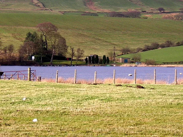
Antermony Loch — lake in East Dunbartonshire, Scotland, UK, outflows south via a watercourse to River Kelvin.
📷 5📷 3Memorials & monuments · Central Scotland
Martyr's Memorial and Martyr's Tomb
Martyr's Memorial and Martyr's Tomb — a memorial in scotland-central, United Kingdom.
📷 5Mountains & hills · Central Scotland
Brown Hill
Brown Hill — mountain in scotland central. Elevation: 400 m.
📷 3Memorials & monuments · Central Scotland
50th Anniversary of the end of World War II Memorial
50th Anniversary of the end of World War II Memorial — a memorial in scotland-central, United Kingdom.
📷 3Towns & cities · Central Scotland
Milton of Campsie
Milton of Campsie — village in East Dunbartonshire, Scotland, UK.
Where to eat & stay near Bridge, Dyke Farm
Places to stay
 📷 5
📷 5Hotels · Central Scotland
DoubleTree by Hilton Glasgow Westerwood Spa & Golf Resort
DoubleTree by Hilton Glasgow Westerwood Spa & Golf Resort — a hotel in scotland central. 4-star. Brand: DoubleTree by Hilton.
 📷 5
📷 5Caravan parks · Central Scotland
Craigendmuir Holiday Park
Craigendmuir Holiday Park — a caravan park in scotland central.
 📷 5
📷 5Campsites · Central Scotland
Craigmaddie Glamping
Craigmaddie Glamping — a campsite in scotland central.
 📷 5
📷 5Hotels · Central Scotland
Strathblane Country House
Strathblane Country House — a hotel in scotland central.
 📷 5
📷 5Caravan parks · Central Scotland
Campsie Glen Holiday Park
Campsie Glen Holiday Park — a caravan park in scotland central.
 📷 5
📷 5Places to eat & drink
 📷 5
📷 5Historic pubs · Central Scotland
The Masonic Arms, 62 Main Street, Cumbernauld Village
The Masonic Arms, 62 Main Street, Cumbernauld Village in Scotland Central, United Kingdom.
 📷 5
📷 5Historic pubs · Central Scotland
Dennyloanhead
Dennyloanhead in Scotland Islands, United Kingdom.
 📷 5
📷 5Historic pubs · Central Scotland
Portland Arms Public House, 1169 Shettleston Road, Glasgow
Portland Arms Public House, 1169 Shettleston Road, Glasgow in Scotland Central, United Kingdom.
 📷 5
📷 5Historic pubs · Central Scotland
Hubbard Tea Rooms, 508, 510, 512 Great Western Road, Glasgow
Hubbard Tea Rooms, 508, 510, 512 Great Western Road, Glasgow in Scotland Central, United Kingdom.
 📷 7
📷 7Historic pubs · Central Scotland
374-378 Gallowgate
374-378 Gallowgate in Scotland Central, United Kingdom.
 📷 5
📷 5Cafés · Central Scotland
Willow Tearooms
The Willow Tearooms are tearooms at 217 Sauchiehall Street, Glasgow, Scotland, designed by internationally renowned architect Charles Rennie Mackintosh, which opened for business in October 1903. They
More bridges in this region
 📷 3
📷 3Historic bridges · Central Scotland
Kelloe House
Kelloe House in England North East, United Kingdom.
 📷 4
📷 4Historic bridges · Central Scotland
Chirnsidebridge
Chirnsidebridge in England North East, United Kingdom.
 📷 3
📷 3.jpg?width=1200) 📷 3
📷 3Historic bridges · Central Scotland
Achnamara Clapper Bridge
Achnamara Clapper Bridge is a historic bridge in the United Kingdom.
Frequently asked questions
- Where is Bridge, Dyke Farm?
- Bridge, Dyke Farm is in central Scotland, United Kingdom (postcode G66 8AR).
- What is Bridge, Dyke Farm?
- Bridge, Dyke Farm — category C listed building-listed bridge in scotland-central, United Kingdom.
- How do I get to Bridge, Dyke Farm?
- The nearest railway station is Croy, about 5.8 km away. Drivers can use postcode G66 8AR.
- Is Bridge, Dyke Farm a listed building?
- Bridge, Dyke Farm is officially recognised as category C listed building listed.
- Is Bridge, Dyke Farm free to visit?
- Yes, Bridge, Dyke Farm is free to enter.
- How do I get to Bridge, Dyke Farm?
- The nearest railway station is Croy, about 5.8 km away. Drivers can navigate to postcode G66 8AR.