
Historic bridges · South East England
Bridge At South End Of Lake
In or near Middle Claydon.
Bridge At South End Of Lake — Grade II listed building-listed bridge in england-west-midlands, United Kingdom.

Nigel Cox — CC BY-SA 2.0 via Wikimedia Commons licence

Plan your visit
- Typical visit
- 15 min–30 min
- Nearest railway station
- Quainton Road · 6.4 km
- Free entry
- Dog-friendly
Getting there & planning your visit
The Bridge at the south end of Lake is located in Buckinghamshire, postcode MK18 2EX. The nearest railway station is Quainton Road, which is 6.4 km away. Entry to the bridge is free.
About
Bridge At South End Of Lake is a Grade II listed building-listed bridge in england-west-midlands, United Kingdom, registered on the National Heritage List for England (NHLE entry 1214763). Listed status protects buildings and structures of special architectural or historic interest. See the linked Wikipedia article for further details.
Photo gallery
Heritage listing
Details SP 72 SW MIDDLE CLAYDON CLAYDON PARK 6/83 Bridge at S. end of lake - - II Bridge. Mid C18. Stone to N. facing Claydon House, brick parapet, English bond brickwork to S. Single round arch. Square section ashlar piers to ends of parapet. Probably erected or incorporated into park landscape designed by James Sanderson 1763-76 for Ralph, 2nd Earl Verney. (National Trust Guide to Claydon House). Listing NGR: SP7174624992 Legacy The contents of this record have been generated from a legacy data system. Legacy System number: 399689 Legacy System: LBS
From the Historic England List Entry under OGL v3.
Protected designations
- Area of Outstanding Natural Beauty: Chilterns
Designations sourced from Natural England open data under OGL v3.
Place summary
The Bridge at South End of Lake is a Grade II listed bridge located in the West Midlands. It is recognised for its architectural significance and contribution to the area's heritage.
AI-generated from the structured facts on this page (operator, designation, listing, era). Not a substitute for visiting.
- Coordinates
- 51.9188, -0.9582
- District
- Buckinghamshire
- Parish
- Middle Claydon
- Postcode
- MK18 2EX
- Parliamentary constituency
- Mid Buckinghamshire
- Nearest railway station
- Quainton Road — 6.4 km
Sources
- wikidata: Q26509657 (CC0)
Other places nearby

Claydon House
Historic houses · 0.4 km
.jpg?width=1200)
Middle Claydon
Towns & cities · 0.8 km

Embers Claydon
Campsites · 0.9 km

East Claydon
Towns & cities · 2.1 km

Steeple Claydon
Villages · 2.6 km

Calvert
Towns & cities · 3.0 km
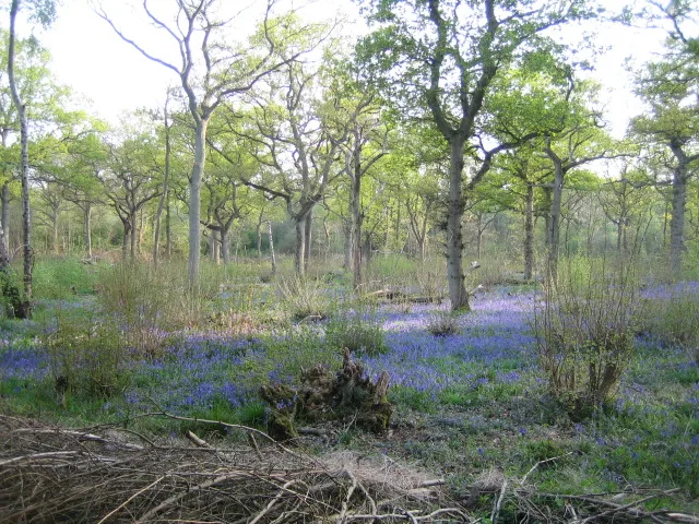
Finemere Wood
Archaeological sites · 3.2 km

Calvert Jubilee Nature Reserve
Forests & woodlands · 3.3 km

Finmere Wood
Forests & woodlands · 3.3 km

Calvert Jubilee
Wildlife reserves · 3.5 km

Edgcott
Villages · 4.6 km
Mar2006.jpg?width=1200)
Edgcott
Towns & cities · 4.8 km
Nearby
📷 3Historic houses · South East England
Claydon House
Claydon House — a other in england-west-midlands, United Kingdom.
📷 5Towns & cities · South East England
Middle Claydon
Middle Claydon — village and civil parish in Buckinghamshire, UK.
📷 5📷 3Towns & cities · South East England
East Claydon
East Claydon — village and civil parish in Buckinghamshire, England, UK.
📷 5📷 4Towns & cities · South East England
Calvert
Calvert — village in Buckinghamshire, England, UK.
Where to eat & stay near Bridge At South End Of Lake
Places to stay
📷 5 📷 7
📷 7Hotels · South East England
The Five Arrows Hotel
The Five Arrows Hotel — a hotel in england west midlands.
 📷 7
📷 7Hotels · South East England
Villiers Hotel
Villiers Hotel — a hotel in england west midlands.
 📷 5
📷 5Campsites · South East England
Cranley Barn Camping
Cranley Barn Camping — a campsite in england west midlands.
 📷 2
📷 2 📷 5
📷 5Campsites · South East England
Silverstone Woodlands Campsite
Silverstone Woodlands Campsite — a campsite in england west midlands.
Places to eat & drink
 📷 5
📷 5Historic pubs · South East England
The Black Bird
The Black Bird in England South East, United Kingdom.
 📷 5
📷 5Cafés · South East England
The Winslow Cafe & Bistro
The Winslow Cafe & Bistro — a café in england west midlands.
 📷 5
📷 5 📷 7
📷 7Historic pubs · South East England
Crown Public House
Crown Public House in England South East, United Kingdom.
 📷 7
📷 7Historic pubs · South East England
The Butcher's Arms
The Butcher's Arms in England South East, United Kingdom.
 📷 5
📷 5More bridges in this region
 📷 5
📷 5Historic bridges · South East England
Briary Hill Bridge east
Briary Hill Bridge east is a historic bridge in the United Kingdom.
 📷 5
📷 5Historic bridges · South East England
Briary Hill Bridge west
Briary Hill Bridge west is a historic bridge in the United Kingdom.
 📷 5
📷 5Historic bridges · South East England
Bridge 157 VIR (Bath Hard Road)
Bridge 157 VIR (Bath Hard Road) is a historic bridge in the United Kingdom.
 📷 5
📷 5Historic bridges · South East England
Dorking Arch Bridge
Dorking Arch Bridge is a historic bridge in the United Kingdom.
Frequently asked questions
- Where is Bridge At South End Of Lake?
- Bridge At South End Of Lake is in the West Midlands, United Kingdom (postcode MK18 2EX), in the parish of Middle Claydon.
- What is Bridge At South End Of Lake?
- Bridge At South End Of Lake — Grade II listed building-listed bridge in england-west-midlands, United Kingdom.
- How do I get to Bridge At South End Of Lake?
- The nearest railway station is Quainton Road, about 6.4 km away. Drivers can use postcode MK18 2EX.
- Is Bridge At South End Of Lake a listed building?
- Bridge At South End Of Lake is officially recognised as Grade II listed building listed.
- Is Bridge At South End Of Lake a protected site?
- Yes — Bridge At South End Of Lake is part of the Chilterns National Landscape (AONB).
- Is Bridge At South End Of Lake free to visit?
- Yes, Bridge At South End Of Lake is free to enter.
- How do I get to Bridge At South End Of Lake?
- The nearest railway station is Quainton Road, about 6.4 km away. Drivers can navigate to postcode MK18 2EX.