
Historic bridges · South East England
Bridge At Hale Farm
In or near Salisbury.
Bridge At Hale Farm — Grade II listed building-listed bridge in england-south-east, United Kingdom.

Maigheach-gheal — CC BY-SA 2.0 via Wikimedia Commons licence

Plan your visit
- Typical visit
- 15 min–30 min
- Nearest railway station
- Grateley · 7.9 km
- Free entry
- Dog-friendly
Getting there & planning your visit
To visit the Bridge At Hale Farm, the nearest railway station is Grateley, located 7.9 km away. The postcode for navigation is SP4 0AW, and entry to the site is free.
About
Bridge At Hale Farm is a Grade II listed building-listed bridge in england-south-east, United Kingdom, registered on the National Heritage List for England (NHLE entry 1183897). Listed status protects buildings and structures of special architectural or historic interest. See the linked Wikipedia article for further details.
Photo gallery
Heritage listing
Details IDMISTON CHURCH ROAD SU 13 NE (north east side) 3/63 Bridge at Hale Farm II Bridge carrying farm access over the River Bourne. C18. Brick in English bond. Two arches of 2 half brick rings bearing on central pier, with cutwater upstream, and extended as pier downstream. Central half-brick buttress extending to parapet, which has 3 course string at base and half round brick copings. Stone terminal blocks to 45cm end piers. Listing NGR: SU1950237908 Legacy The contents of this record have been generated from a legacy data system. Legacy System number: 319956 Legacy System: LBS
From the Historic England List Entry under OGL v3.
Protected designations
- Site of Special Scientific Interest: River Avon System SSSI
- Site of Special Scientific Interest: Porton Down SSSI
Designations sourced from Natural England open data under OGL v3.
Place summary
The Bridge at Hale Farm is a Grade II listed bridge located in South-East England. It is notable for its historical significance and architectural features that contribute to the local heritage.
AI-generated from the structured facts on this page (operator, designation, listing, era). Not a substitute for visiting.
- Coordinates
- 51.1401, -1.7226
- District
- Wiltshire
- Parish
- Idmiston
- Postcode
- SP4 0AW
- Parliamentary constituency
- Salisbury
- Nearest railway station
- Grateley — 7.9 km
Sources
- wikidata: Q26479189 (CC0)
Other places nearby

Idmiston
Villages · 0.3 km

Two Bowle Monuments In Churchyard, 2 Metres South Of Chancel, Church Of All Saints
Memorials & monuments · 0.6 km
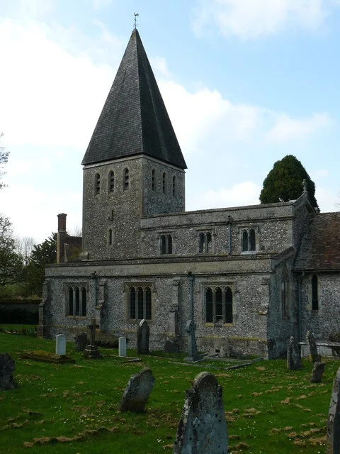
All Saints Church, Idmiston
Historic churches · 0.6 km
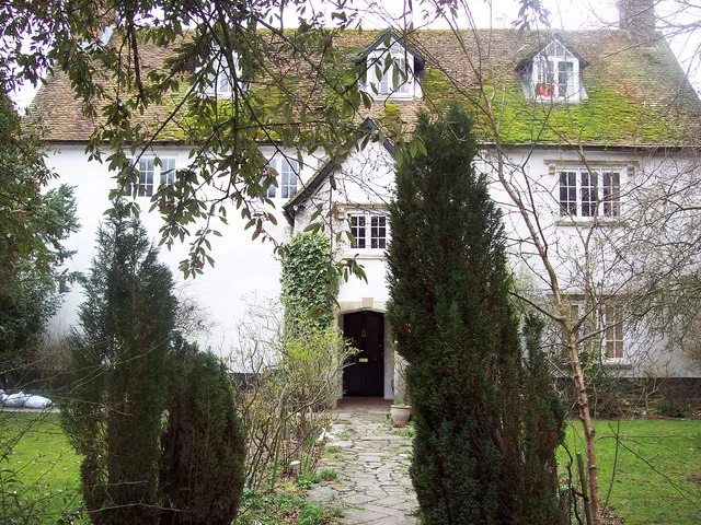
Idmiston Manor
Stately homes · 0.7 km

Queen Manor
Manor houses · 0.8 km

Porton
Villages · 1.5 km
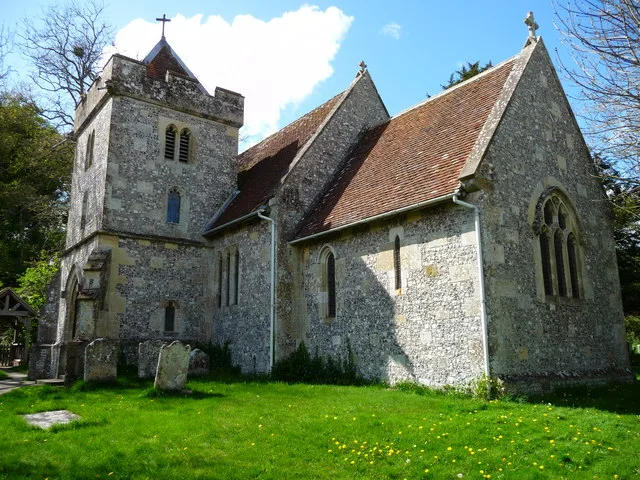
St John the Baptist's Church, Allington
Historic churches · 1.7 km

MOD Boscombe Down
Other places · 2.6 km

Winterbourne Downs RSPB reserve
Wildlife reserves · 3.0 km

Boscombe Down West
Mountains & hills · 3.0 km

Porton Down
Mountains & hills · 3.0 km
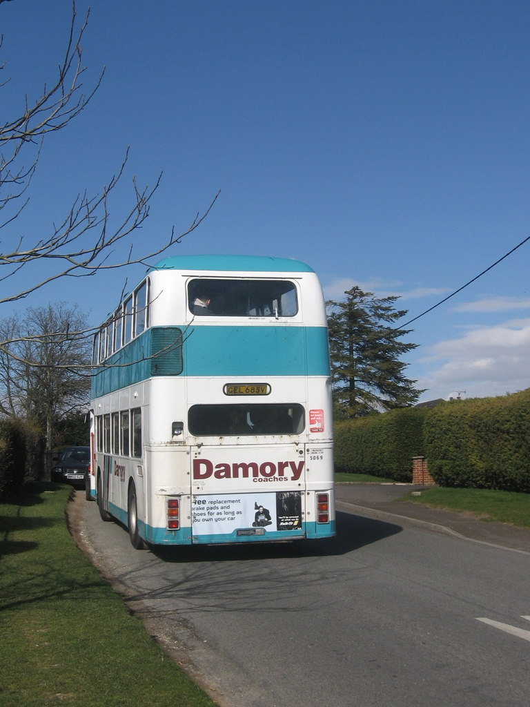
Winterbourne Gunner
Villages · 3.1 km
Nearby
📷 5📷 5Memorials & monuments · South East England
Two Bowle Monuments In Churchyard, 2 Metres South Of Chancel, Church Of All Saints
Two Bowle Monuments In Churchyard, 2 Metres South Of Chancel, Church Of All Saints — Grade II listed building-listed memorial in england-south-east, United Kingdom.
📷 5Historic churches · South East England
All Saints Church, Idmiston
All Saints Church, Idmiston — church in Idmiston, UK.
Flagship📷 5Stately homes · South East England
Idmiston Manor
Idmiston Manor — manor house in Idmiston, Wiltshire, England, UK.
📷 5Manor houses · South East England
Queen Manor
Queen Manor — Grade II listed building-listed manor in england-south-east, United Kingdom.
📷 5Where to eat & stay near Bridge At Hale Farm
Places to stay
 📷 5
📷 5Hostels · South East England
Cholderton Youth Hostel
Cholderton Youth Hostel — a hostel in england south east.
 📷 7
📷 7Hotels · South East England
Fairlawn House
Fairlawn House — a hotel in england south east.
 📷 5
📷 5Caravan parks · South East England
Salisbury Hillside Caravan and Motorhome Club Campsite
Salisbury Hillside Caravan and Motorhome Club Campsite — a caravan park in england south east.
 📷 5
📷 5 📷 5
📷 5Caravan parks · South East England
White Hill Farm Caravan Park
White Hill Farm Caravan Park — a caravan park in england south east.
 📷 5
📷 5Caravan parks · South East England
Camping & Caravan Club Salisbury
Camping & Caravan Club Salisbury — a caravan park in england south east.
Places to eat & drink
 📷 5
📷 5Historic pubs · South West England
Malet Arms
Malet Arms in England South West, United Kingdom.
 📷 5
📷 5Historic pubs · South West England
The Greyhound Tavern
The Greyhound Tavern in England South West, United Kingdom.
 📷 5
📷 5 📷 7
📷 7Restaurants · South East England
The Old Castle
The Old Castle — a restaurant in england south east. Cuisine: american. Brand: Harvester.
 📷 5
📷 5Historic pubs · South West England
The Royal George
The Royal George in England South West, United Kingdom.
 📷 5
📷 5Historic pubs · South West England
George and Dragon
George and Dragon in England South West, United Kingdom.
More bridges in this region
 📷 5
📷 5Historic bridges · South East England
Briary Hill Bridge east
Briary Hill Bridge east is a historic bridge in the United Kingdom.
 📷 5
📷 5Historic bridges · South East England
Briary Hill Bridge west
Briary Hill Bridge west is a historic bridge in the United Kingdom.
 📷 5
📷 5Historic bridges · South East England
Bridge 157 VIR (Bath Hard Road)
Bridge 157 VIR (Bath Hard Road) is a historic bridge in the United Kingdom.
 📷 5
📷 5Historic bridges · South East England
Dorking Arch Bridge
Dorking Arch Bridge is a historic bridge in the United Kingdom.
Frequently asked questions
- Where is Bridge At Hale Farm?
- Bridge At Hale Farm is in South-East England, United Kingdom (postcode SP4 0AW), in the parish of Idmiston.
- What is Bridge At Hale Farm?
- Bridge At Hale Farm — Grade II listed building-listed bridge in england-south-east, United Kingdom.
- How do I get to Bridge At Hale Farm?
- The nearest railway station is Grateley, about 7.9 km away. The nearest town is Salisbury. Drivers can use postcode SP4 0AW.
- Is Bridge At Hale Farm a listed building?
- Bridge At Hale Farm is officially recognised as Grade II listed building listed.
- Is Bridge At Hale Farm a protected site?
- Yes — Bridge At Hale Farm is part of the River Avon System SSSI Site of Special Scientific Interest and the Porton Down SSSI Site of Special Scientific Interest.
- Is Bridge At Hale Farm free to visit?
- Yes, Bridge At Hale Farm is free to enter.
- How do I get to Bridge At Hale Farm?
- The nearest railway station is Grateley, about 7.9 km away. Drivers can navigate to postcode SP4 0AW.