
Historic bridges · East Midlands
Bridge, Approximately 350 Metres South Of The Hall
In or near Little Ponton.
Bridge, Approximately 350 Metres South Of The Hall — Grade II listed building-listed bridge in england-east-midlands, United Kingdom.

Kate Jewell — CC BY-SA 2.0 via Wikimedia Commons licence

Plan your visit
- Typical visit
- 15 min–30 min
- Nearest railway station
- Grantham · 7.6 km
- Free entry
- Dog-friendly
Getting there & planning your visit
To visit the bridge located approximately 350 metres south of the Hall, you can reach it via Grantham railway station, which is 7.6 km away. The postcode for the location is NG33 5EL, and entry is free.
About
Bridge, Approximately 350 Metres South Of The Hall is a Grade II listed building-listed bridge in england-east-midlands, United Kingdom, registered on the National Heritage List for England (NHLE entry 1360354). Listed status protects buildings and structures of special architectural or historic interest. See the linked Wikipedia article for further details.
Photo gallery
Heritage listing
Details STOKE ROCHFORD STOKE ROCHFORD PARK SK 92 NW 6/170 Bridge, approxi- mately 350 M south of the Hall 14.7.1978 G.V. II Bridge over lakes. c.1841. Probably by William Burn. Ashlar. 3 pointed arches with triangular cutwaters, plain band and parapet with facetted coping, terminates in square piers with large ball finials. The bridge spans a narrow point in the lake formed by the damming of Cringle Brook and over it runs the drive to South Lodge. Built as part of the landscaping for Stoke Rochford Park, for Sir Christopher Turnor. Listing NGR: SK9185227567 Legacy The contents of this record have been generated from a legacy data system. Legacy System number: 193411 Legacy System: LBS
From the Historic England List Entry under OGL v3.
Place summary
The bridge, approximately 350 metres south of the Hall in Stoke Rochford, Lincolnshire, is a Grade II listed building. It is located in the East Midlands region and contributes to the historical architecture of the area.
AI-generated from the structured facts on this page (operator, designation, listing, era). Not a substitute for visiting.
- Coordinates
- 52.8378, -0.6379
- County
- Lincolnshire
- District
- South Kesteven
- Parish
- Stoke Rochford
- Postcode
- NG33 5EL
- Parliamentary constituency
- Rutland and Stamford
- Established
- 1841
- Nearest railway station
- Grantham — 7.6 km
Sources
- wikidata: Q26642471 (CC0)
Other places nearby

Stoke Rochford
Historic churches · 0.2 km

Isaac Newton Monument
Memorials & monuments · 0.6 km

Obelisk, Approximately 250 Metres West North West Of Stoke Rochford Hall
Forts · 0.6 km

Bridge Over River Witham On North Drive
Historic bridges · 1.1 km

Bridge On West Side Of Kitchen Garden, Over River Witham
Historic bridges · 1.2 km

Easton, Lincolnshire
Historic churches · 2.3 km

Great Ponton
Historic churches · 2.7 km

Skillington
Villages · 2.8 km
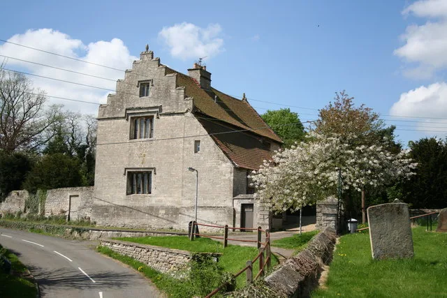
Ellys Manor House
Stately homes · 2.9 km

Bridge Over River Witham
Historic bridges · 3.1 km

Woolsthorpe-by-Colsterworth
Museums · 3.2 km

Woolsthorpe Manor (Isaac Newton's Birthplace)
Museums · 3.2 km
Nearby
📷 5Historic churches · East Midlands
Stoke Rochford
Stoke Rochford — a church in england-east-midlands, United Kingdom.
📷 3Memorials & monuments · East Midlands
Isaac Newton Monument
Isaac Newton Monument is a memorial in the United Kingdom.
📷 5Forts · East Midlands
Obelisk, Approximately 250 Metres West North West Of Stoke Rochford Hall
Obelisk, Approximately 250 Metres West North West Of Stoke Rochford Hall — a martello broad in england-east-midlands, United Kingdom.
📷 3Historic bridges · East Midlands
Bridge Over River Witham On North Drive
Bridge Over River Witham On North Drive — Grade II listed building-listed bridge in england-east-midlands, United Kingdom.
📷 3Historic bridges · East Midlands
Bridge On West Side Of Kitchen Garden, Over River Witham
Bridge On West Side Of Kitchen Garden, Over River Witham — Grade II listed building-listed bridge in england-east-midlands, United Kingdom.
📷 5Historic churches · East Midlands
Easton, Lincolnshire
Easton, Lincolnshire — a church in england-east-midlands, United Kingdom.
Where to eat & stay near Bridge, Approximately 350 Metres South Of The Hall
Places to stay
 📷 5
📷 5 📷 5
📷 5Campsites · East Midlands
Fair Farm
Fair Farm — a campsite in england east midlands.
 📷 5
📷 5Caravan parks · East Midlands
Rutland Caravan and Camping
Rutland Caravan and Camping — a caravan park in england east midlands.
 📷 5
📷 5Caravan parks · East Midlands
Wagtail Country Park
Wagtail Country Park — a caravan park in england east midlands.
 📷 5
📷 5Campsites · East Midlands
Woodland Waters
Woodland Waters — a campsite in england east midlands.
 📷 5
📷 5Caravan parks · East Midlands
Greendale Farm Caravan Park
Greendale Farm Caravan Park — a caravan park in england east midlands.
Places to eat & drink
 📷 6
📷 6Historic pubs · East Midlands
Blue Man Public House
Blue Man Public House in England East, United Kingdom.
 📷 7
📷 7Historic pubs · East Midlands
47 and 48 High Street
47 and 48 High Street in England East, United Kingdom.
 📷 5
📷 5 📷 7
📷 7Historic pubs · East Midlands
Black Dog Public House
Black Dog Public House in England East, United Kingdom.
 📷 6
📷 6 📷 5
📷 5Other works by William Burn
📷 5Forts · East Midlands
Obelisk, Approximately 250 Metres West North West Of Stoke Rochford Hall
Obelisk, Approximately 250 Metres West North West Of Stoke Rochford Hall — a martello broad in england-east-midlands, United Kingdom.
 📷 4
📷 4 📷 3
📷 3Historic houses · Scottish Lowlands
Carstairs House
Carstairs House is a historic house in the United Kingdom.
 📷 4
📷 4Historic houses · Central Scotland
Tyninghame House
Tyninghame House in Scotland Islands, United Kingdom.
More bridges in this region
 📷 5
📷 5Historic bridges · East Midlands
Mill Race Bridge To Market Deeping Mill
Mill Race Bridge To Market Deeping Mill — Grade II listed building-listed bridge in england-london, United Kingdom.
 📷 5
📷 5Historic bridges · East Midlands
Bridge Over West Glen River
Bridge Over West Glen River — Grade II listed building-listed bridge in england-london, United Kingdom.
 📷 5
📷 5Historic bridges · East Midlands
Bridge And Sluices
Bridge And Sluices — Grade II listed building-listed bridge in england-london, United Kingdom.
 📷 5
📷 5Historic bridges · East Midlands
Bridge Over River Gwash
Bridge Over River Gwash — Grade II listed building-listed bridge in england-london, United Kingdom.
Frequently asked questions
- Where is Bridge, Approximately 350 Metres South Of The Hall?
- Bridge, Approximately 350 Metres South Of The Hall is in Lincolnshire, the East Midlands, United Kingdom (postcode NG33 5EL), in the parish of Stoke Rochford.
- What is Bridge, Approximately 350 Metres South Of The Hall?
- Bridge, Approximately 350 Metres South Of The Hall — Grade II listed building-listed bridge in england-east-midlands, United Kingdom.
- How do I get to Bridge, Approximately 350 Metres South Of The Hall?
- The nearest railway station is Grantham, about 7.6 km away. Drivers can use postcode NG33 5EL.
- When was Bridge, Approximately 350 Metres South Of The Hall built?
- Built or established in 1841. Designed by William Burn.
- Is Bridge, Approximately 350 Metres South Of The Hall a listed building?
- Bridge, Approximately 350 Metres South Of The Hall is officially recognised as Grade II listed building listed.
- Is Bridge, Approximately 350 Metres South Of The Hall free to visit?
- Yes, Bridge, Approximately 350 Metres South Of The Hall is free to enter.
- How do I get to Bridge, Approximately 350 Metres South Of The Hall?
- The nearest railway station is Grantham, about 7.6 km away. Drivers can navigate to postcode NG33 5EL.