
Historic bridges · North East England
Bridge And Conduit Arch 100 Metres South West Of Level Entrance
Bridge And Conduit Arch 100 Metres South West Of Level Entrance — Grade II listed building-listed bridge in scotland-lowlands, United Kingdom.

Oliver Dixon — CC BY-SA 2.0 via Wikimedia Commons licence

Plan your visit
- Typical visit
- 15 min–30 min
- Free entry
- Dog-friendly
About
Bridge And Conduit Arch 100 Metres South West Of Level Entrance is a Grade II listed building-listed bridge in scotland-lowlands, United Kingdom, registered on the National Heritage List for England (NHLE entry 1039101). Listed status protects buildings and structures of special architectural or historic interest. See the linked Wikipedia article for further details.
Photo gallery
Heritage listing
Details FOREST AND FRITH B6277 (North side) NY83NW Ashgill Head 2/40 Bridge and conduit arch 100 metres south-west of level entrance GV II Bridge and conduit arch. Probably early C19 for London Lead Company. Coursed rubble. Low segmental arch over Ashgill Beck has rough voussoirs and later concrete coping at ground level on south face; at right-angles to the south face, and at the east end, a similar arch has battered south buttress and return, with rubble coping on the return. Continuous grass track at ground level over arches. Listing NGR: NY8080835484 Legacy The contents of this record have been generated from a legacy data system. Legacy System number: 111842 Legacy System: LBS
From the Historic England List Entry under OGL v3.
Protected designations
- Site of Special Scientific Interest: Upper Teesdale SSSI
- Site of Special Scientific Interest: River Eden and Tributaries SSSI
- Site of Special Scientific Interest: Moorhouse and Cross Fell SSSI
- Area of Outstanding Natural Beauty: North Pennines
Designations sourced from Natural England open data under OGL v3.
Place summary
The Bridge and Conduit Arch, located 100 metres south-west of the level entrance in the Scottish Lowlands, is a Grade II listed bridge within the parish of Forest and Frith. It serves as a notable example of local architectural heritage.
AI-generated from the structured facts on this page (operator, designation, listing, era). Not a substitute for visiting.
- Coordinates
- 54.7140, -2.2994
- District
- County Durham
- Parish
- Forest and Frith
- Postcode
- DL12 0XY
- Parliamentary constituency
- Bishop Auckland
Sources
- wikidata: Q26290881 (CC0)
Other places nearby
Bridge Over Ashgill Beck
Historic bridges · 0.1 km

Highfield Hushes
Archaeological sites · 1.0 km
Hawk Side Shop
Historic houses · 1.1 km

mine building
Archaeological sites · 1.2 km

Great Stony Hill
Mountains & hills · 1.6 km
Great Stony Hill
Mountains & hills · 1.6 km

Rough Hill
Mountains & hills · 2.0 km

Three Pikes
Mountains & hills · 2.8 km

Viewing Hill
Mountains & hills · 3.0 km
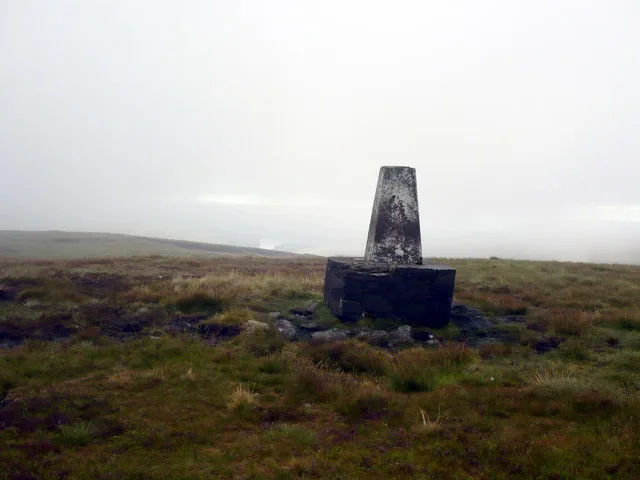
Burnhope Seat
Mountains & hills · 3.0 km
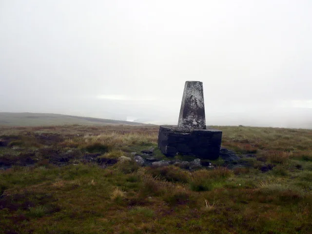
Burnhope Seat
Natural landmarks · 3.1 km

Broad Pot
Caves · 3.1 km
Nearby
📷 3Historic bridges · North East England
Bridge Over Ashgill Beck
Bridge Over Ashgill Beck — Grade II listed building-listed bridge in scotland-lowlands, United Kingdom.
📷 3Archaeological sites · North East England
Highfield Hushes
Highfield Hushes — a archaeological in scotland-lowlands, United Kingdom.
📷 3Historic houses · North East England
Hawk Side Shop
Hawk Side Shop — a historic house in scotland-lowlands, United Kingdom.
📷 3Archaeological sites · North East England
mine building
mine building — a archaeological in scotland-lowlands, United Kingdom.
📷 5Mountains & hills · North East England
Great Stony Hill
Great Stony Hill — a hill or mountain in scotland lowlands.
📷 5Mountains & hills · North East England
Great Stony Hill
Great Stony Hill — mountain in scotland lowlands. Elevation: 708 m.
Where to eat & stay near Bridge And Conduit Arch 100 Metres South West Of Level Entrance
Places to stay
 📷 5
📷 5Caravan parks · North East England
Gate House Cottage Caravan Site
Gate House Cottage Caravan Site — a caravan park in scotland lowlands.
 📷 5
📷 5Hostels · North East England
Langdon Beck Youth Hostel
Langdon Beck Youth Hostel — a hostel in scotland lowlands.
 📷 5
📷 5Campsites · North East England
Pennine Lodge
Pennine Lodge — a campsite in scotland lowlands.
 📷 5
📷 5Campsites · North East England
Killhope Lead Mining Museum Yurts
Killhope Lead Mining Museum Yurts — a campsite in scotland lowlands.
 📷 5
📷 5Caravan parks · North East England
Country Style Holiday Home Park
Country Style Holiday Home Park — a caravan park in scotland lowlands.
 📷 5
📷 5Hostels · North East England
Assay Office Bunkhouse
Assay Office Bunkhouse — a hostel in scotland lowlands.
Places to eat & drink
 📷 5
📷 5Historic pubs · North East England
1, Scattergate
1, Scattergate in England North East, United Kingdom.
 📷 5
📷 5Historic pubs · North East England
The Lord Crewe Arms Hotel
The Lord Crewe Arms Hotel in Scotland Lowlands, United Kingdom.
 📷 5
📷 5Cafés · North East England
The White Monk Tearoom
The White Monk Tearoom — a café in scotland lowlands.
 📷 5
📷 5 📷 3
📷 3More bridges in this region
 📷 3
📷 3Historic bridges · North East England
Bridge About 30 Metres South Of The Manor House
Bridge About 30 Metres South Of The Manor House — Grade II listed building-listed bridge in england-yorkshire, United Kingdom.
 📷 3
📷 3Historic bridges · North East England
Old Bridge Over Nor Beck, On East Side Of Road
Old Bridge Over Nor Beck, On East Side Of Road — Grade II listed building-listed bridge in england-yorkshire, United Kingdom.
 📷 3
📷 3Historic bridges · North East England
Barnard Castle Bridge
Barnard Castle Bridge is a historic bridge in the United Kingdom.
 📷 3
📷 3Historic bridges · North East England
Blandswath Bridge
Blandswath Bridge is a historic bridge in the United Kingdom.
Frequently asked questions
- Where is Bridge And Conduit Arch 100 Metres South West Of Level Entrance?
- Bridge And Conduit Arch 100 Metres South West Of Level Entrance is in the Scottish Lowlands, United Kingdom (postcode DL12 0XY), in the parish of Forest and Frith.
- What is Bridge And Conduit Arch 100 Metres South West Of Level Entrance?
- Bridge And Conduit Arch 100 Metres South West Of Level Entrance — Grade II listed building-listed bridge in scotland-lowlands, United Kingdom.
- How do I get to Bridge And Conduit Arch 100 Metres South West Of Level Entrance?
- Drivers can use postcode DL12 0XY.
- Is Bridge And Conduit Arch 100 Metres South West Of Level Entrance a listed building?
- Bridge And Conduit Arch 100 Metres South West Of Level Entrance is officially recognised as Grade II listed building listed.
- Is Bridge And Conduit Arch 100 Metres South West Of Level Entrance a protected site?
- Yes — Bridge And Conduit Arch 100 Metres South West Of Level Entrance is part of the Upper Teesdale SSSI Site of Special Scientific Interest and the River Eden and Tributaries SSSI Site of Special Scientific Interest.
- Is Bridge And Conduit Arch 100 Metres South West Of Level Entrance free to visit?
- Yes, Bridge And Conduit Arch 100 Metres South West Of Level Entrance is free to enter.
- How do I get to Bridge And Conduit Arch 100 Metres South West Of Level Entrance?
- Drivers can navigate to postcode DL12 0XY. It sits within the Bishop Auckland parliamentary constituency.