
Historic bridges · North West England
Bridge 350 Yards South Of Poole Bank
In or near Aston juxta Mondrum.
Bridge 350 Yards South Of Poole Bank — Grade II listed building-listed bridge in england-west-midlands, United Kingdom.

David Martin — CC BY-SA 2.0 via Wikimedia Commons licence

Plan your visit
- Typical visit
- 15 min–30 min
- Nearest railway station
- Nantwich · 3.4 km
- Free entry
- Dog-friendly
Getting there & planning your visit
You can reach Bridge 350 Yards South Of Poole Bank by taking the train to Nantwich station, which is 3.4 km away. Entry to the bridge is free.
About
Bridge 350 Yards South Of Poole Bank is a Grade II listed building-listed bridge in england-west-midlands, United Kingdom, registered on the National Heritage List for England (NHLE entry 1136480). Listed status protects buildings and structures of special architectural or historic interest. See the linked Wikipedia article for further details.
Photo gallery
Heritage listing
Details POOLE 1651/1/79 BRIDGE 350 YARDS SOUTH OF POOLE BANK 04-JUL-86 II POOLE C.P. SJ 65 NW 1/79 Bridge 350 yards south - of Poole Bank - Road bridge over stream to south of Poole Bank Farm, early C19, red sandstone ashlar. DESCRIPTION: Single span, single lane bridge with flush segmental arch, projecting carriageway band above. Stone piers flank arch to both elevations. Low parapet wall at road level of large sandstone blocks with chamfered copings extending slightly beyond wall face, approach sections angled outwards and slope upwards from rectangular end piers to inner piers, carved Ordnance Survey benchmark symbol to NE end pier. Each pier formed of single large sandstone block projecting forward from wall face. HISTORY: The exact date of construction of the bridge to the south of Poole Bank is unknown but is believed to be in the early C19. It was built to carry the Nantwich to Poole road (Wettenhall Road) over a stream situated to the south of Poole Bank Farm. REASONS FOR DESIGNATION: The bridge 350 yards south of Poole Bank is designated at Grade II for the following principal reasons: * It is well designed and constructed, especially for such a rural location over a small stream, which highlights the importance of the road it was built to support * The design pays careful attention to detail and is above the purely functional, incorporating projecting stone piers and chamfered copings * It is well preserved and shows no evidence of widening or alteration Listing NGR: SJ6398155053 Legacy The contents of this record have been generated from a legacy data system. Legacy System number: 56990 Legacy System: LBS
From the Historic England List Entry under OGL v3.
Place summary
Bridge 350 Yards South Of Poole Bank is a Grade II listed bridge located in the West Midlands. It is recognised for its architectural significance and contribution to the area's heritage.
AI-generated from the structured facts on this page (operator, designation, listing, era). Not a substitute for visiting.
- Coordinates
- 53.0915, -2.5393
- District
- Cheshire East
- Parish
- Poole
- Postcode
- CW5 6GR
- Parliamentary constituency
- Chester South and Eddisbury
- Nearest railway station
- Nantwich — 3.4 km
Sources
- wikidata: Q26429747 (CC0)
Other places nearby
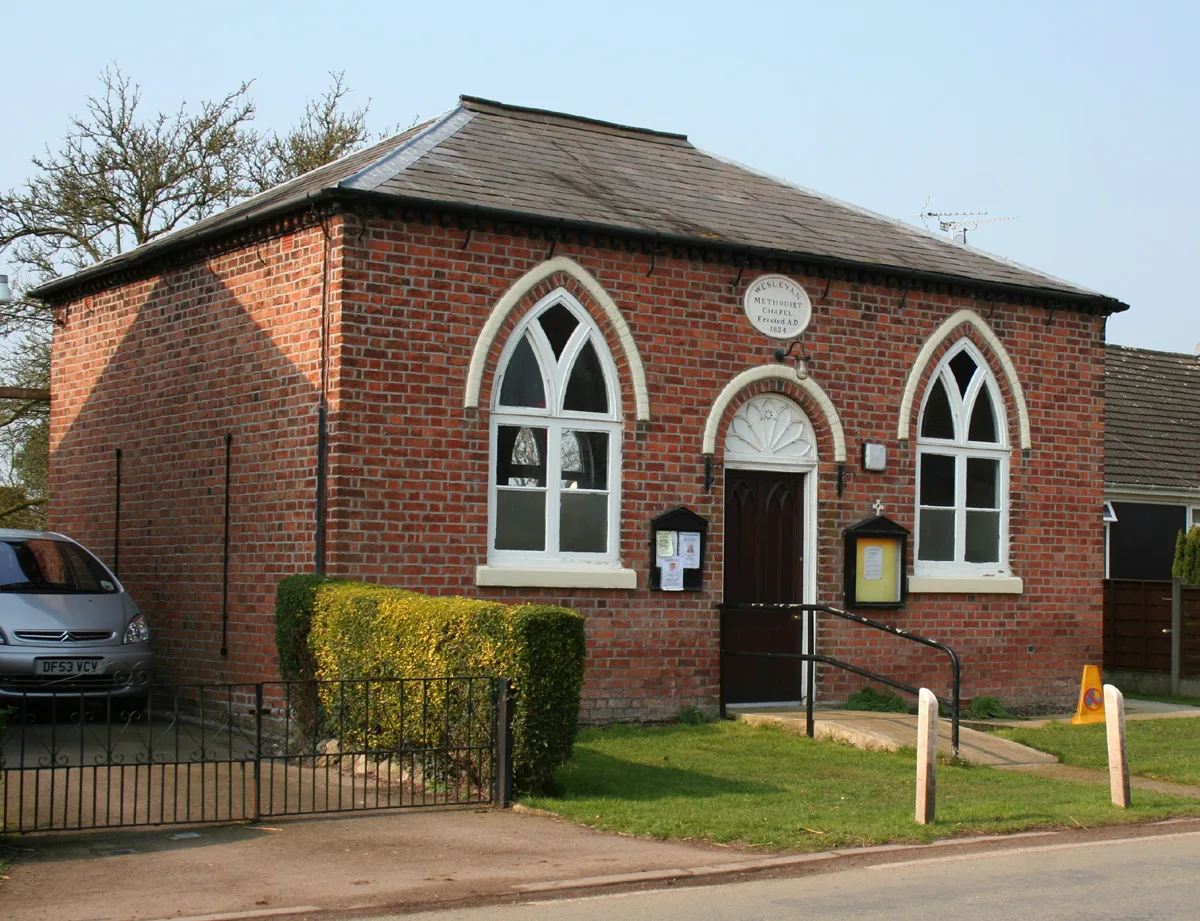
Poole Methodist Chapel
Historic churches · 0.9 km

Reaseheath Old Hall
Historic houses · 0.9 km

Giant Paddington Bear
Public art & sculpture · 1.7 km

Battle of Nantwich
Forts · 1.7 km

Snugburys
Natural landmarks · 1.8 km

Hurleston Bridge Number 1
Historic bridges · 1.9 km

Aston juxta Mondrum
Towns & cities · 2.0 km
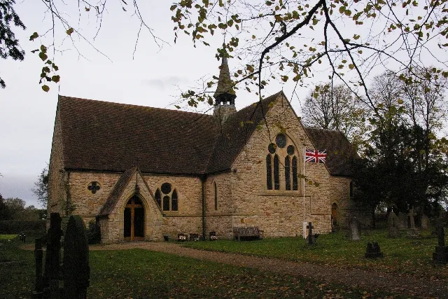
St Oswald's Church, Worleston
Historic churches · 2.1 km

Nantwich Workhouse
Historic houses · 2.1 km
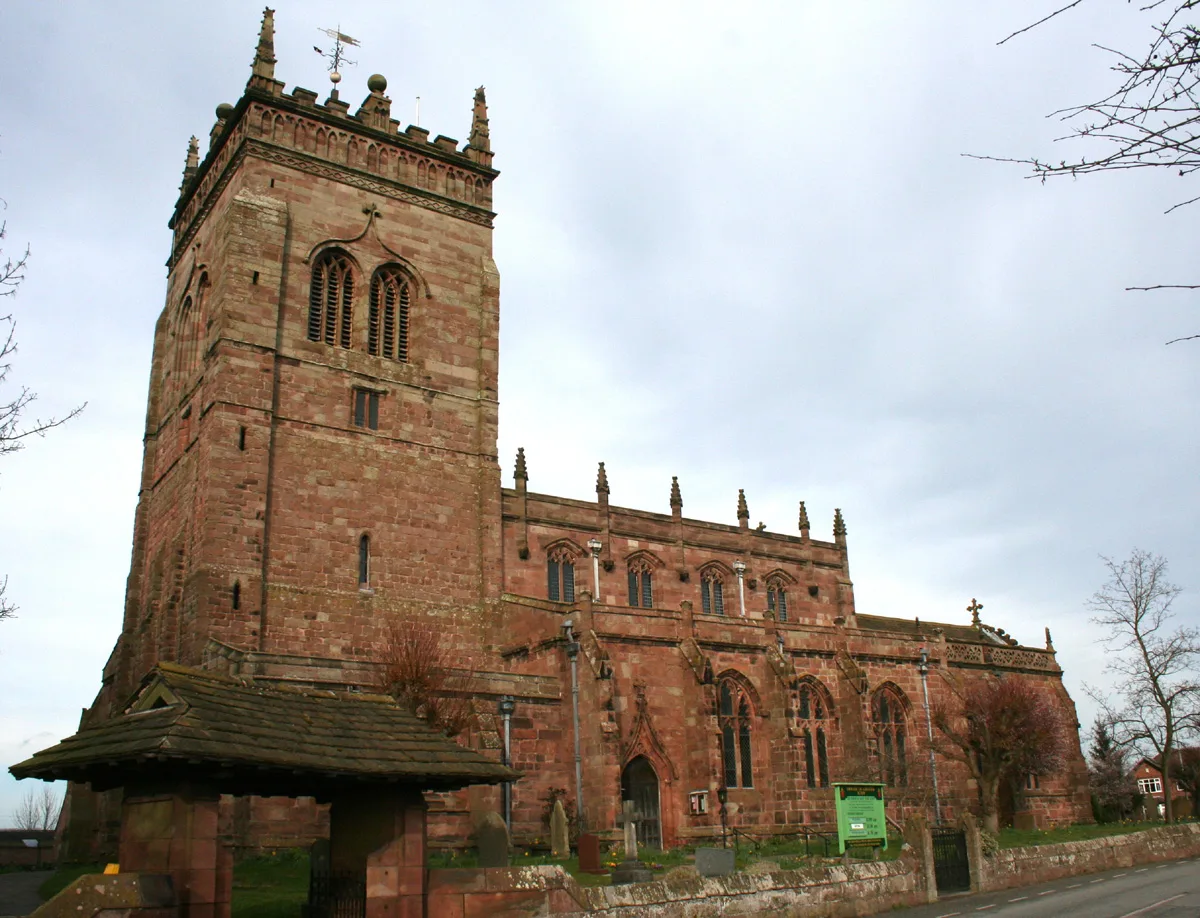
St Mary's Church, Acton
Historic churches · 2.1 km

Shropshire Union Canal Main Line Nantwich Junction Bridge Number 92
Historic bridges · 2.1 km

Acton, Cheshire
Museums · 2.1 km
Nearby
📷 3Historic churches · North West England
Poole Methodist Chapel
Poole Methodist Chapel is a historic church in the United Kingdom.
📷 3Historic houses · North West England
Reaseheath Old Hall
Reaseheath Old Hall — a Grade II*-listed historic house in england-west-midlands, United Kingdom.
📷 3Public art & sculpture · North West England
Giant Paddington Bear
Giant Paddington Bear — a public art in england-west-midlands, United Kingdom.
📷 3📷 3Natural landmarks · North West England
Snugburys
Snugburys — a other in england-west-midlands, United Kingdom.
📷 3Historic bridges · North West England
Hurleston Bridge Number 1
Hurleston Bridge Number 1 — Grade II listed building-listed bridge in england-west-midlands, United Kingdom.
Where to eat & stay near Bridge 350 Yards South Of Poole Bank
Places to stay
 📷 5
📷 5Hotels · North West England
Crown Hotel, Bar & Grill
Crown Hotel, Bar & Grill — a hotel in england west midlands.
 📷 5
📷 5 📷 5
📷 5Hotels · North West England
The Waverley Hotel
The Waverley Hotel — a hotel in england west midlands.
 📷 5
📷 5 📷 5
📷 5 📷 5
📷 5Caravan parks · North West England
Lakeside Caravan Park
Lakeside Caravan Park — a caravan park in england west midlands.
Places to eat & drink
 📷 5
📷 5Restaurants · North West England
The Cheshire Cat
The Cheshire Cat — a restaurant in england west midlands.
 📷 5
📷 5 📷 5
📷 5 📷 5
📷 5Historic pubs · North West England
The Commercial Hotel
The Commercial Hotel in England North West, United Kingdom.
 📷 5
📷 5Historic pubs · North West England
Old Hall Hotel, Sandbach
Old Hall Hotel, Sandbach in England North West, United Kingdom.
 📷 7
📷 7Historic pubs · North West England
The Black Bear Public House
The Black Bear Public House in Wales North, United Kingdom.
More bridges in this region
 📷 3
📷 3Historic bridges · North West England
Albert Bridge
Albert Bridge is a historic bridge in the United Kingdom.
 📷 3
📷 3Historic bridges · North West England
Arpley New Bridge
Arpley New Bridge is a historic bridge in the United Kingdom.
 📷 3
📷 3Historic bridges · North West England
Arpley Railway Bridge
Arpley Railway Bridge is a historic bridge in the United Kingdom.
 📷 5
📷 5Historic bridges · North West England
Barton Road Bridge
Barton Road Bridge is a historic bridge in the United Kingdom.
Frequently asked questions
- Where is Bridge 350 Yards South Of Poole Bank?
- Bridge 350 Yards South Of Poole Bank is in the West Midlands, United Kingdom (postcode CW5 6GR), in the parish of Poole.
- What is Bridge 350 Yards South Of Poole Bank?
- Bridge 350 Yards South Of Poole Bank — Grade II listed building-listed bridge in england-west-midlands, United Kingdom.
- How do I get to Bridge 350 Yards South Of Poole Bank?
- The nearest railway station is Nantwich, about 3.4 km away. Drivers can use postcode CW5 6GR.
- Is Bridge 350 Yards South Of Poole Bank a listed building?
- Bridge 350 Yards South Of Poole Bank is officially recognised as Grade II listed building listed.
- Is Bridge 350 Yards South Of Poole Bank free to visit?
- Yes, Bridge 350 Yards South Of Poole Bank is free to enter.
- How do I get to Bridge 350 Yards South Of Poole Bank?
- The nearest railway station is Nantwich, about 3.4 km away. Drivers can navigate to postcode CW5 6GR.