
Reservoirs & lochs · Central Scotland
Breadalbane
Breadalbane in Scotland Islands, United Kingdom.

Lis Burke — CC BY-SA 2.0 via Wikimedia Commons licence

Plan your visit
- Typical visit
- 1 h–2.5 h
- Free entry
- Dog-friendly
About
Breadalbane is a place of interest in Scotland Islands, United Kingdom — drawn from open-data sources for visitor reference. See the linked Wikipedia article for the full description.
Photo gallery
From the Wikipedia article
Breadalbane ( ; Scottish Gaelic: Bràghaid Albann, meaning "upper Alba" or "upland of Alba") is a region of the southern/central Scottish Highlands, within the Grampian Mountains range. It is a mountainous region comprising the watershed of Loch Tay; its boundaries are roughly the West Highland Way in the west, Rannoch Moor in the northwest, Loch Rannoch in the north, the River Tummel in the east, the Highland boundary in the southeast, and Loch Earn and Loch Voil-Loch Doine in the south. The former Breadalbane district was surrounded by the districts of Atholl, Strathearn, Menteith, The Lennox, Argyll and Lochaber. The Breadalbane Hydro-Electric Scheme lies within the region. The Atholl and Breadalbane Gathering is a popular 2/4 March tune for the Great Highland Bagpipes.
Excerpt from Wikipedia under CC BY-SA 4.0. See the source article linked in Sources below.
Background
History
Breadalbane formed one of the traditional provinces of Scotland, surrounded by Atholl, Lorn, Argyll, The Lennox, Menteith, and Strathearn (anti-clockwise from North). The province is referred to by the title of Earl of Breadalbane and Holland (the inclusion of Holland comes from a separate title which was inherited by the same person); later the title was upgraded to Marquess of Breadalbane. The Breadalbane branch of Clan Campbell is the origin of the province as a distinct unit; prior to 1449 the area had been part of Atholl. Colin Campbell (second son of the head of Clan Campbell) was awarded the land by king James II as thanks for capturing the assassins of James I. The Campbells…
Sourced from Wikipedia under CC BY-SA 4.0.
- Coordinates
- 56.3400, -4.2740
- District
- Stirling
- Postcode
- FK19 8QF
- Parliamentary constituency
- Stirling and Strathallan
Sources
- wikidata: Q1963606 (CC0)
- wikipedia: Breadalbane, Scotland (CC BY-SA 4.0)
Other places nearby
Sput Dubh
Waterfalls · 1.1 km

Glen Ample
Gorges · 1.2 km

Meall nan Oighreag
Mountains & hills · 1.7 km

Stuc a' Chroin West Top
Mountains & hills · 2.0 km

Sgiath a' Chaise
Mountains & hills · 2.1 km

Sgiath a' Chàise
Mountains & hills · 2.2 km
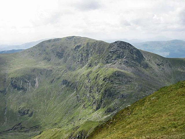
Stùc a' Chroin
Natural landmarks · 2.5 km
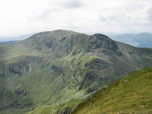
Stùc a' Chroin
Mountains & hills · 2.5 km

Stuc a' Chroin
Mountains & hills · 2.6 km

Creag a' Mhadaidh
Mountains & hills · 2.9 km

Ben Our
Mountains & hills · 2.9 km
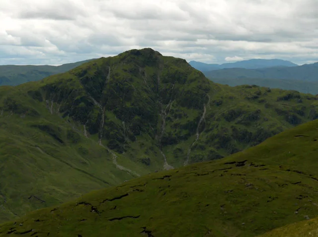
Beinn Each
Mountains & hills · 3.0 km
Nearby
📷 5📷 5Mountains & hills · Central Scotland
Meall nan Oighreag
Meall nan Oighreag — mountain in scotland central. Elevation: 578 m.
📷 5Mountains & hills · Central Scotland
Stuc a' Chroin West Top
Stuc a' Chroin West Top — a hill or mountain in scotland central.
📷 5Mountains & hills · Central Scotland
Sgiath a' Chaise
Sgiath a' Chaise — a hill or mountain in scotland central.
📷 3Mountains & hills · Central Scotland
Sgiath a' Chàise
Sgiath a' Chàise — a mountain in scotland-central, United Kingdom.
Where to eat & stay near Breadalbane
Places to stay
 📷 5
📷 5Caravan parks · Central Scotland
Balquhidder Braes Holiday Park
Balquhidder Braes Holiday Park — a caravan park in scotland central.
 📷 5
📷 5Campsites · Central Scotland
Immervoulin Caravan & Campsite
Immervoulin Caravan & Campsite — a campsite in scotland central.
 📷 5
📷 5Campsites · Central Scotland
Loch Earn South Shore B
Loch Earn South Shore B — a campsite in scotland central.
 📷 5
📷 5Caravan parks · Central Scotland
Drummond Fish Farm
Drummond Fish Farm — a caravan park in scotland central.
 📷 5
📷 5Campsites · Central Scotland
Falls of Leny Campsite
Falls of Leny Campsite — a campsite in scotland central.
 📷 7
📷 7More places in this region
 📷 5
📷 5 📷 3
📷 3Reservoirs & lochs · Central Scotland
Allt na Lairige Reservoir
Allt na Lairige Reservoir — 1956 artificial lake in Argyll and Bute, Scotland, UK, on and outflowing west to Allt na Lairige.
.jpg?width=1200) 📷 3
📷 3Reservoirs & lochs · Central Scotland
Ardlussa Fishing Loch
Ardlussa Fishing Loch — 1900 artificial lake on Jura, Argyll and Bute, Scotland, UK, on the Lussa River.
 📷 3
📷 3Reservoirs & lochs · Central Scotland
Asgog Loch
Asgog Loch — lake dammed as a reservoir in Argyll and Bute, Scotland, UK, outflows east via a watercourse to Allt Osda.
Frequently asked questions
- Where is Breadalbane?
- Breadalbane is in the Scottish Highlands, United Kingdom (postcode FK19 8QF).
- What is Breadalbane?
- Breadalbane in Scotland Islands, United Kingdom.
- How do I get to Breadalbane?
- Drivers can use postcode FK19 8QF.
- Is Breadalbane free to visit?
- Yes, Breadalbane is free to enter.
- How do I get to Breadalbane?
- Drivers can navigate to postcode FK19 8QF. It sits within the Stirling and Strathallan parliamentary constituency.