
Archaeological sites · North East England
Brandon Walls lead mine and ore works
In or near Stanhope.
Brandon Walls lead mine and ore works — an archaeological site in North East England, United Kingdom.

Mike Quinn — CC BY-SA 2.0 via Wikimedia Commons licence

Plan your visit
- Typical visit
- 45 min–1.5 h
- Nearest railway station
- Stanhope · 5.7 km
- Free entry
- Dog-friendly
About
Brandon Walls lead mine and ore works is an archaeological site located in North East England, United Kingdom. Sourced from OpenStreetMap (ODbL licence); see local listings for visitor information, opening hours and admission details.
Photo gallery
Protected designations
- Site of Special Scientific Interest: Muggleswick,Stanhope & Edmundbyers Commons & Blanchland Moor SSSI
- Area of Outstanding Natural Beauty: North Pennines
Designations sourced from Natural England open data under OGL v3.
Place summary
Brandon Walls lead mine and ore works is an archaeological site located in the Scottish Lowlands. It showcases the remnants of lead extraction and processing activities. The site provides insight into the industrial practices of the past in this region.
AI-generated from the structured facts on this page (operator, designation, listing, era). Not a substitute for visiting.
- Coordinates
- 54.7648, -2.0848
- District
- County Durham
- Parish
- Stanhope
- Postcode
- DL13 2AF
- Parliamentary constituency
- Bishop Auckland
- Nearest railway station
- Stanhope — 5.7 km
Sources
- osm: node/9915780458 (ODbL)
- osm: n9915780458 (ODbL)
- wikidata: Q17674560 (CC0)
Other places nearby

Rookhope
Natural landmarks · 0.2 km

Burnt Walls
Historic houses · 0.8 km

The Vicarage
Campsites · 1.2 km

Turn Wheel Fall
Waterfalls · 1.2 km

Camp at High Northgate
Archaeological sites · 1.3 km

Crow Coal Hill
Mountains & hills · 1.4 km

Hiole House Bunkhouse
Hostels · 1.5 km

Barrington Bunkhouse
Hostels · 1.9 km

Rookhope
Villages · 2.0 km

Rookhope War Memorial
Memorials & monuments · 2.0 km

North Pennine Batholith
Natural landmarks · 2.0 km

Eastgate
Villages · 2.3 km
Nearby
📷 5📷 3Historic houses · North East England
Burnt Walls
Burnt Walls — a historic house in North East England, United Kingdom.
📷 5📷 5📷 8Archaeological sites · North East England
Camp at High Northgate
Camp at High Northgate — an archaeological site in North East England, United Kingdom.
📷 5Mountains & hills · North East England
Crow Coal Hill
Crow Coal Hill — mountain in scotland lowlands. Elevation: 465.9 m.
Where to eat & stay near Brandon Walls lead mine and ore works
Places to stay
📷 5📷 5Hostels · North East England
Hiole House Bunkhouse
Hiole House Bunkhouse — a hostel in scotland lowlands.
📷 5Hostels · North East England
Barrington Bunkhouse
Barrington Bunkhouse — a hostel in scotland lowlands.
 📷 5
Caravan parks · North East England
Belle Vue Caravan Site
Belle Vue Caravan Site — a caravan park in scotland lowlands.
 📷 5
Hotels · North East England
Westgate Manor
Westgate Manor — a hotel in scotland lowlands.
 📷 5
Caravan parks · North East England
Westgate Caravan Park and Camping Site
Westgate Caravan Park and Camping Site — a caravan park in scotland lowlands.
Places to eat & drink
 📷 5
Historic pubs · North East England
The Lord Crewe Arms Hotel
The Lord Crewe Arms Hotel in Scotland Lowlands, United Kingdom.
 📷 5
Cafés · North East England
The White Monk Tearoom
The White Monk Tearoom — a café in scotland lowlands.
 📷 5
Historic pubs · North East England
Black Bull Public House
Black Bull Public House in Scotland Lowlands, United Kingdom.
 📷 5
Historic pubs · North East England
Travellers' Rest Inn
Travellers' Rest Inn in Scotland Lowlands, United Kingdom.
 📷 3
 📷 4
Historic pubs · North East England
Delves Lane
Delves Lane in England North East, United Kingdom.
More archaeological sites in this region
 📷 5
Archaeological sites · North East England
Medieval Manorial Site of Low Dinsdale
Medieval Manorial Site of Low Dinsdale — archaeological in england yorkshire.
 📷 5
Archaeological sites · North East England
Nine Standards Rigg
Nine Standards Rigg — archaeological in england north west. Elevation: 662 m.
 ★ Iconic📷 4
Archaeological sites · North East England
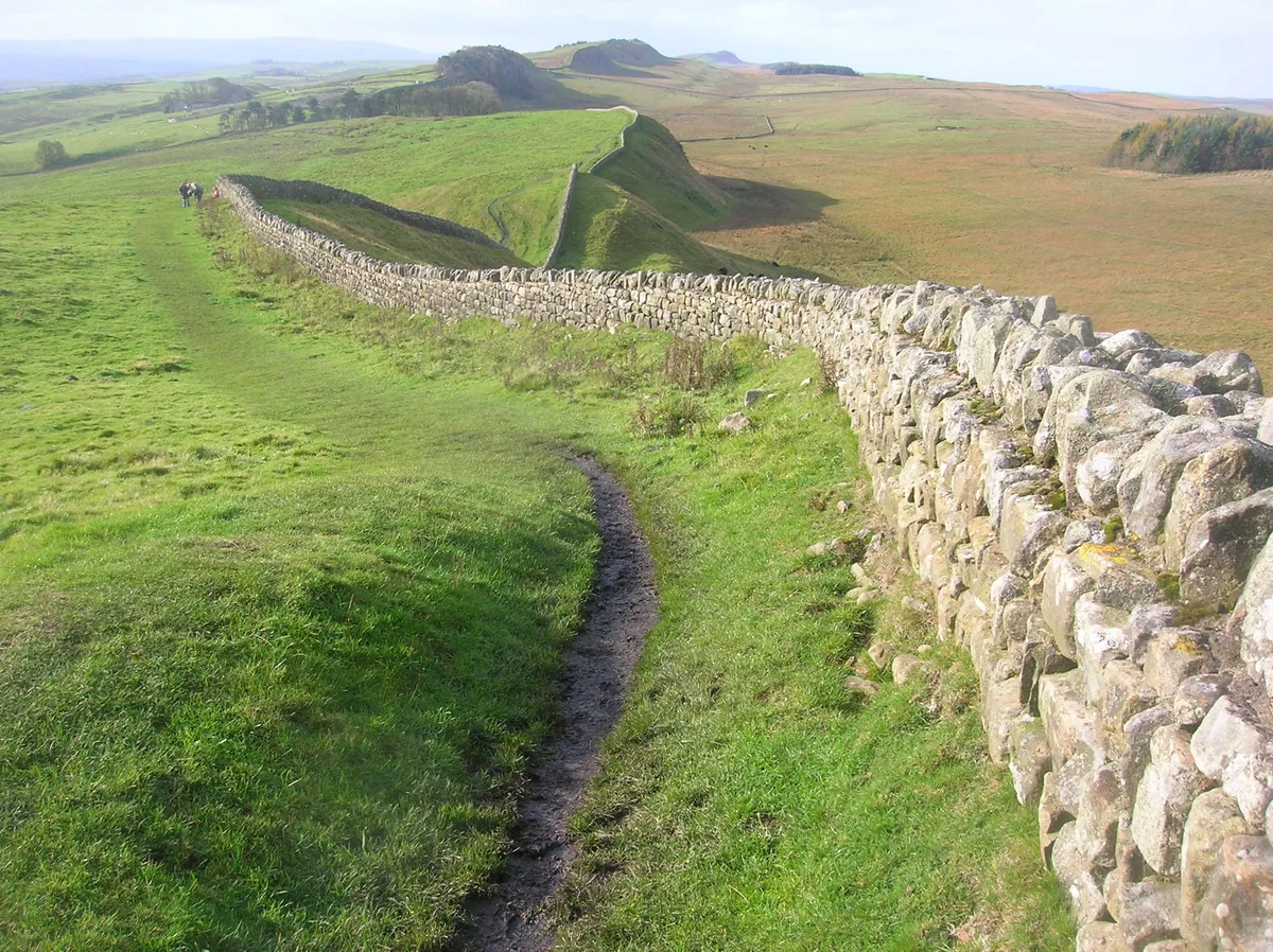
Hadrian's Wall
73-mile UNESCO World Heritage Roman frontier wall — Britain's most extensive Roman monument.
 📷 3
Archaeological sites · North East England
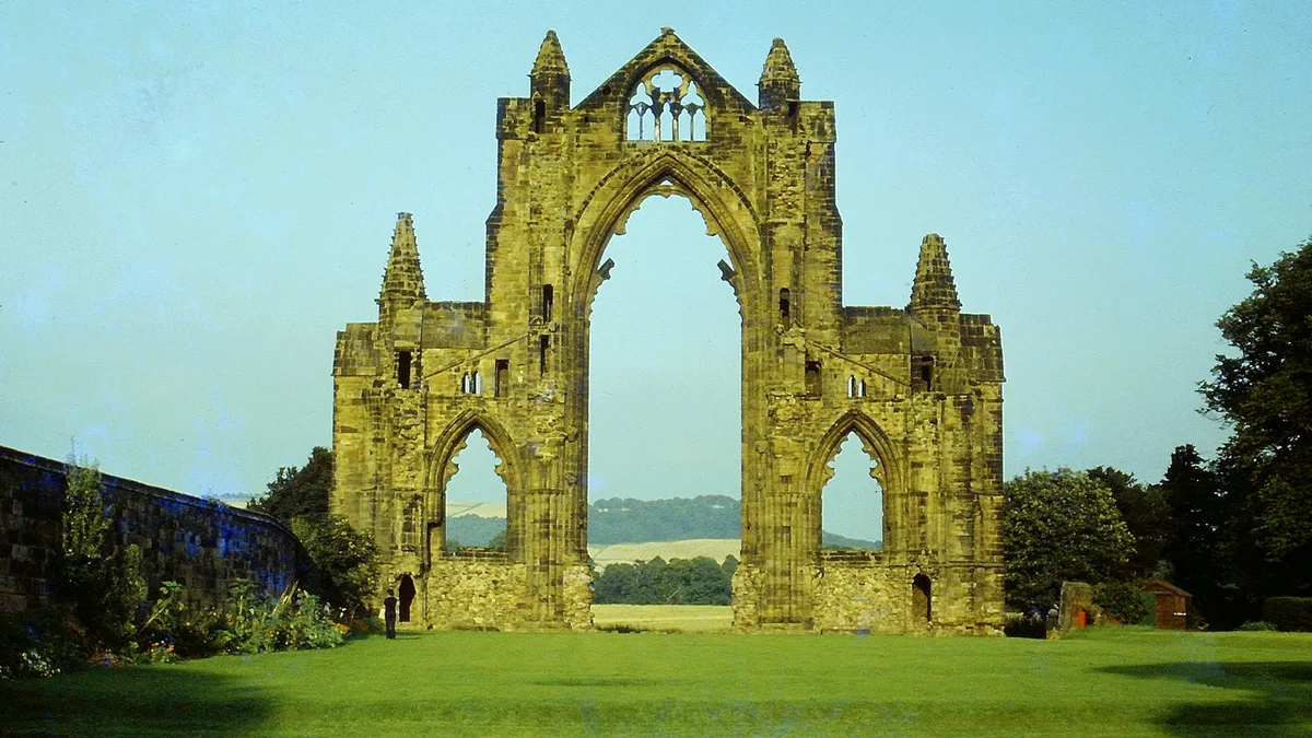
Gisborough Priory Augustinian monastery: late Saxon settlement, cemetery, monastic precinct and dovecote
Gisborough Priory Augustinian monastery: late Saxon settlement, cemetery, monastic precinct and dovecote — archaeological site in Guisborough, Redcar and Cleveland, England, UK.
Frequently asked questions
- Where is Brandon Walls lead mine and ore works?
- Brandon Walls lead mine and ore works is in North-East England, United Kingdom (postcode DL13 2AF), in the parish of Stanhope.
- What is Brandon Walls lead mine and ore works?
- Brandon Walls lead mine and ore works — an archaeological site in North East England, United Kingdom.
- How do I get to Brandon Walls lead mine and ore works?
- The nearest railway station is Stanhope, about 5.7 km away. The nearest town is Stanhope. Drivers can use postcode DL13 2AF.
- Is Brandon Walls lead mine and ore works a protected site?
- Yes — Brandon Walls lead mine and ore works is part of the Muggleswick,Stanhope & Edmundbyers Commons & Blanchland Moor SSSI Site of Special Scientific Interest and the North Pennines National Landscape (AONB).
- Is Brandon Walls lead mine and ore works free to visit?
- Yes, Brandon Walls lead mine and ore works is free to enter.
- How do I get to Brandon Walls lead mine and ore works?
- The nearest railway station is Stanhope, about 5.7 km away. Drivers can navigate to postcode DL13 2AF.