
Historic houses · East of England
Brandeston Hall
In or near Easton.
Brandeston Hall — house in Brandeston, Suffolk, England, UK.

Wikimedia Commons contributors — see linked file page for photographer and licence licence

Plan your visit
- Typical visit
- 1 h–2 h
- Nearest railway station
- Wickham Market · 9.0 km
- Family-friendly
- Limited wheelchair access
Getting there & planning your visit
To visit Brandeston Hall, the nearest railway station is Wickham Market, located 9 km away. The postcode for sat-nav is IP13 7AQ. Please note that wheelchair accessibility is limited.
About
Brandeston Hall is a historic house in the United Kingdom — typically a country seat, manor, or town house with notable architecture or history. Heritage designation: Grade II* listed building. Wikidata describes it as: "house in Brandeston, Suffolk, England, UK". Coordinates: 52.1944°, 1.2870°.
Photo gallery
Protected designations
- Area of Outstanding Natural Beauty: Suffolk Coast & Heaths
Designations sourced from Natural England open data under OGL v3.
From the Wikipedia article
Brandeston Hall is a grade II* listed house in Old Maids Lane, Brandeston, Suffolk, England. The Hall is the former manor house of Brandeston but is now used for educational purposes. The original house was built around 1550 for Andrew Revett, but only the east wing and entrance porch survive from a fire of 1847 that destroyed most of the house. It was rebuilt in 1848 for Charles Austin, a lawyer and the head of the Parliamentary Bar. Brandeston Hall was used as a military headquarters during World War II. 8th Army Group Royal Artillery was formed there on 1 May 1943 by conversion of the Headquarters, Royal Artillery, of 54th (East Anglian) Infantry Division. It was acquired by Framlingham College in 1949, as recorded in a Latin inscription over the doorway. The ceiling to the headmaster's study has painted portraits of 24 famous men.
Excerpt from Wikipedia under CC BY-SA 4.0. See the source article linked in Sources below.
- Coordinates
- 52.1944, 1.2870
- County
- Suffolk
- District
- East Suffolk
- Parish
- Brandeston
- Postcode
- IP13 7AQ
- Parliamentary constituency
- Central Suffolk and North Ipswich
- Nearest railway station
- Wickham Market — 9 km
Sources
- wikidata: Q17546340 (CC0)
- wikipedia: Brandeston Hall (CC BY-SA 4.0)
- commons: Brandeston Hall - geograph.org.uk - 339603.jpg (CC BY-SA 4.0)
Other places nearby

Church of All Saints
Historic churches · 0.1 km

Brandeston War Memorial
Memorials & monuments · 0.2 km

Brandeston Village Sign
Public art & sculpture · 0.4 km

Kettleburgh
Villages · 1.7 km
.jpg?width=1200)
Church of St Andrew
Historic churches · 1.8 km

Kettleburgh Village Sign
Public art & sculpture · 1.8 km

Hoo Village Sign
Public art & sculpture · 1.9 km

Monewden Village Sign
Public art & sculpture · 1.9 km

New Bell Public House
Historic pubs · 1.9 km

Cretingham Village Sign
Public art & sculpture · 1.9 km

Cretingham
Villages · 2.0 km

Cretingham War Memorial
Memorials & monuments · 2.0 km
Nearby
📷 4Historic churches · East of England
Church of All Saints
Church of All Saints — church in Brandeston, Suffolk, England, UK.
📷 3Memorials & monuments · East of England
Brandeston War Memorial
Brandeston War Memorial — Grade II listed building-listed memorial in england-east, United Kingdom.
📷 3Public art & sculpture · East of England
Brandeston Village Sign
Brandeston Village Sign — a public art in East of England, United Kingdom.
📷 5📷 3Historic churches · East of England
Church of St Andrew
Church of St Andrew — Grade I listed church in Kettleburgh, Suffolk, England, UK.
📷 3Public art & sculpture · East of England
Kettleburgh Village Sign
Kettleburgh Village Sign — a public art in East of England, United Kingdom.
Where to eat & stay near Brandeston Hall
Places to stay
 📷 5
📷 5 📷 7
📷 7 📷 4
📷 4Campsites · East of England
Nether Oaks Camping
Nether Oaks Camping — a campsite in england east.
 📷 5
📷 5 📷 5
📷 5Campsites · East of England
Brick Kiln Farm
Brick Kiln Farm — a campsite in england east.
 📷 5
📷 5Campsites · East of England
Lanterns and Larks Glamping Suffolk
Lanterns and Larks Glamping Suffolk — a campsite in england east.
Places to eat & drink
📷 5Historic pubs · East of England
New Bell Public House
New Bell Public House in England East, United Kingdom.
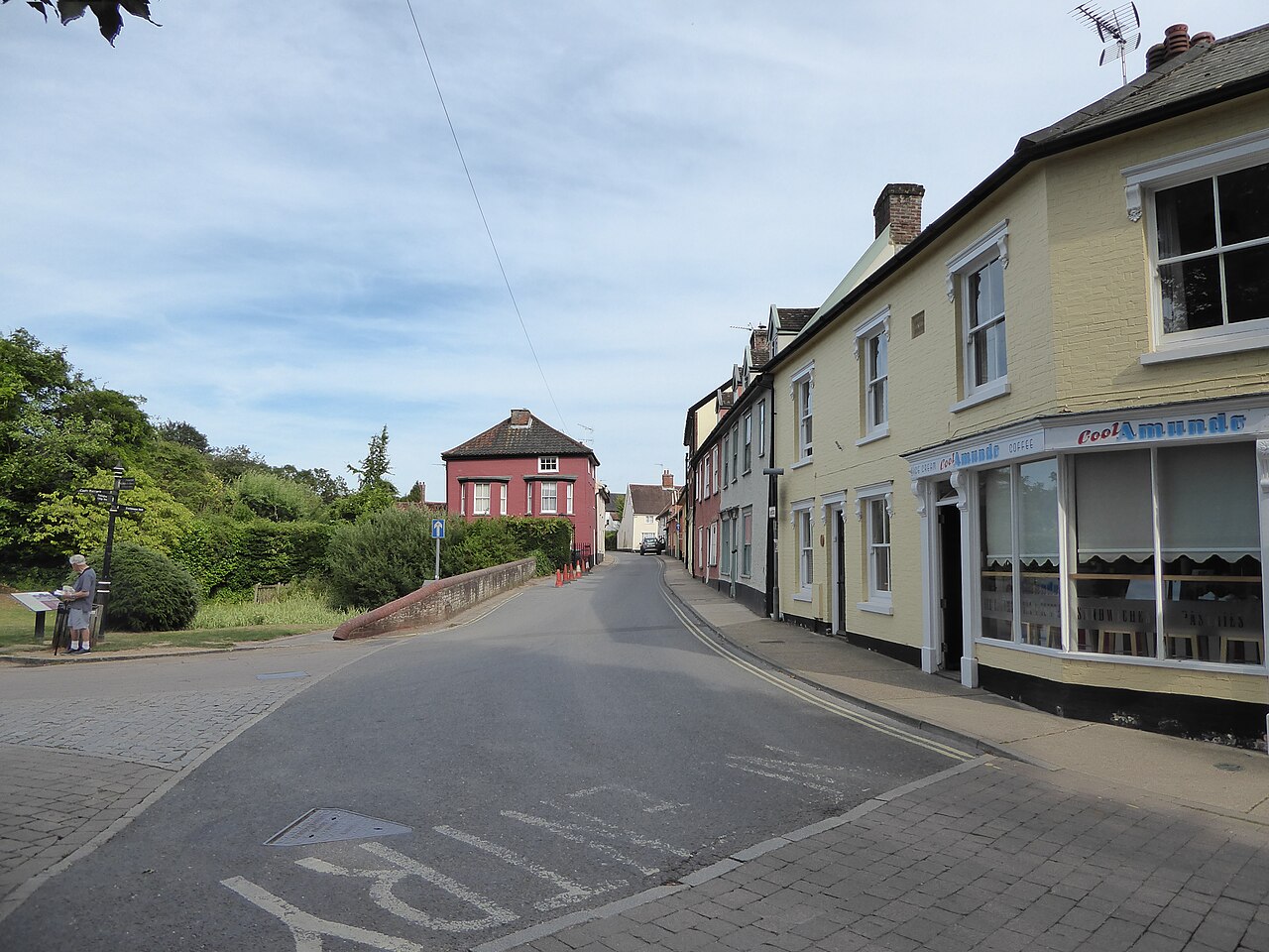 📷 5
📷 5 📷 5
📷 5Historic pubs · East of England
Hare And Hounds Public House
Hare And Hounds Public House in England East, United Kingdom.
 📷 5
📷 5 📷 5
📷 5Historic pubs · East of England
Castle Public House
Castle Public House in England East, United Kingdom.
 📷 5
📷 5Historic pubs · East of England
The Red Lion, Debenham
The Red Lion, Debenham in England East, United Kingdom.
More historic houses in this region
 📷 5
📷 5Historic houses · East of England
41 and 41a, Broad Street
41 and 41a, Broad Street — Grade II* listed house in Ely, East Cambridgeshire, England, UK.
 📷 5
📷 5Historic houses · East of England
Abbey Gate House
Abbey Gate House — house in St Albans, Hertfordshire, England, UK.
 📷 5
📷 5Historic houses · East of England
Abbey House
Abbey House — house in Cambridge, Cambridgeshire, England, UK.
.jpg?width=1200) 📷 5
📷 5Historic houses · East of England
Amores Including Outbuildings
Amores Including Outbuildings — architectural structure in Hertford, East Hertfordshire, England, UK.
Frequently asked questions
- Where is Brandeston Hall?
- Brandeston Hall is in Suffolk, East of England, United Kingdom (postcode IP13 7AQ), in the parish of Brandeston.
- What is Brandeston Hall?
- Brandeston Hall — house in Brandeston, Suffolk, England, UK.
- How do I get to Brandeston Hall?
- The nearest railway station is Wickham Market, about 9.0 km away. The nearest town is Easton. Drivers can use postcode IP13 7AQ.
- Is Brandeston Hall a listed building?
- Brandeston Hall is officially recognised as Grade II* listed building listed.
- Is Brandeston Hall a protected site?
- Yes — Brandeston Hall is part of the Suffolk Coast & Heaths National Landscape (AONB).
- How do I get to Brandeston Hall?
- Drivers can navigate to postcode IP13 7AQ. It sits within the Central Suffolk and North Ipswich parliamentary constituency.