
Museums · East Midlands
Bourne, Lincolnshire
In or near Haconby.
Bourne is a market town and civil parish in the South Kesteven district of Lincolnshire, England. It lies on the eastern slopes of the limestone Kesteven Uplands and the western edge of the Fens, 11 m

Bob Harvey — CC BY-SA 2.0 via Wikimedia Commons licence

Plan your visit
- Typical visit
- 1.5 h–3 h
- Best time of year
- Year-round
- Free entry
- Family-friendly
- Limited wheelchair access
About
Bourne is a market town and civil parish in the South Kesteven district of Lincolnshire, England. It lies on the eastern slopes of the limestone Kesteven Uplands and the western edge of the Fens, 11 miles (18 km) north-east of Stamford, 12 miles (19 km) west of Spalding and 17 miles (27 km) north of Peterborough. The population at the 2011 census was 14,456. A 2019 estimate put it at 16,780.
Photo gallery
See it from the streetimagery from 2024
Imagery © Mapillary contributors, CC BY-SA 4.0
Official information
The Burghley Arms Inn is a community pub located in Bourne, Lincolnshire. It serves as a social hub for locals, offering live sports and various events, making it a lively spot for gatherings and celebrations.
From the Wikipedia article
Bourne is a market town and civil parish in the South Kesteven district of Lincolnshire, England. It lies on the eastern slopes of the limestone Kesteven Uplands and the western edge of the Fens, 11 miles (18 km) north-east of Stamford, 12 miles (19 km) west of Spalding and 17 miles (27 km) north of Peterborough. The population at the 2011 census was 14,456. A 2019 estimate put it at 16,780.
Excerpt from Wikipedia under CC BY-SA 4.0. See the source article linked in Sources below.
Background
History
The ancient woodland of Bourne Woods is still extant, although much reduced. It originally formed part of the ancient Forest of Kesteven and is now managed by the Forestry Commission. The earliest documentary reference to Brunna, meaning stream, is from a document of 960, and the town appeared in Domesday Book of 1086 as Brune. Bourne was an important junction on the Victorian railway system, but all such connections were severed after the Second World War (see Railways section). The business stimulus it brought caused major development of the town and many of the buildings around the medieval street plan were rebuilt or at least refaced. Improved communications allowed a bottled-water…
Description
The town is located on a Roman road now known as King Street. It was built around some natural springs, hence the name "Bourne" (or "Bourn"). which derives from the Anglo-Saxon burna or burne meaning "water" or "stream". In former years Austerby was regarded as a separate settlement, with its own shops and street plan, but it is now an area of Bourne. The ecclesiastical parish of Bourne is part of the Beltisloe Deanery of the Diocese of Lincoln and based at the Abbey Church of St Peter and St Paul, in Church Walk. Other religious congregations in the town include Methodist, Baptist, United Reformed and a Roman Catholic church (St. Gilbert's Catholic Church). Much of Bourne's 19th-century…
Sourced from Wikipedia under CC BY-SA 4.0.
- Coordinates
- 52.7684, -0.3775
- County
- Lincolnshire
- District
- South Kesteven
- Parish
- Bourne
- Postcode
- PE10 9EA
- Parliamentary constituency
- Grantham and Bourne
- Official site
- www.craftunionpubs.com
Sources
- wikipedia: Bourne, Lincolnshire (CC BY-SA 4.0)
Other places nearby

The Angel Hotel
Hotels · 0.0 km

The Burghley Arms
Historic pubs · 0.0 km

Montaz
Restaurants · 0.1 km

Bourne Market
Farmers’ markets · 0.1 km

Film Theatre
Theatres · 0.1 km

Bourne War Memorial
Memorials & monuments · 0.2 km

Raymond Mays Memorial
Memorials & monuments · 0.3 km

Bourne Abbey
Cathedrals · 0.3 km
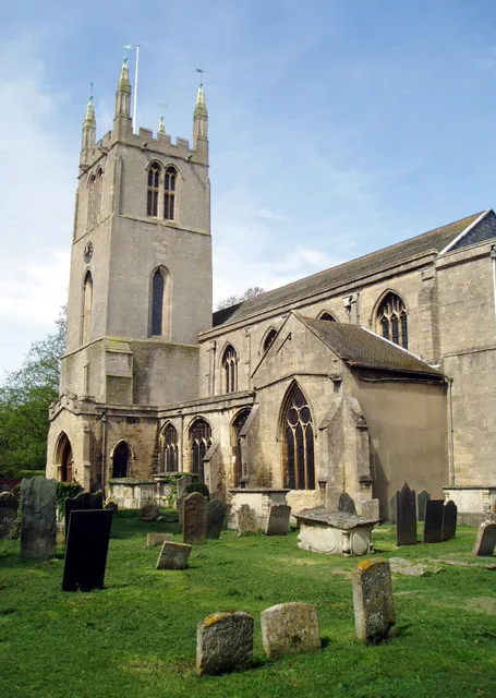
Bourne Abbey
Abbeys & priories · 0.3 km

Baldocks Mill
Museums · 0.3 km

Bourne Festival
Parks · 0.3 km
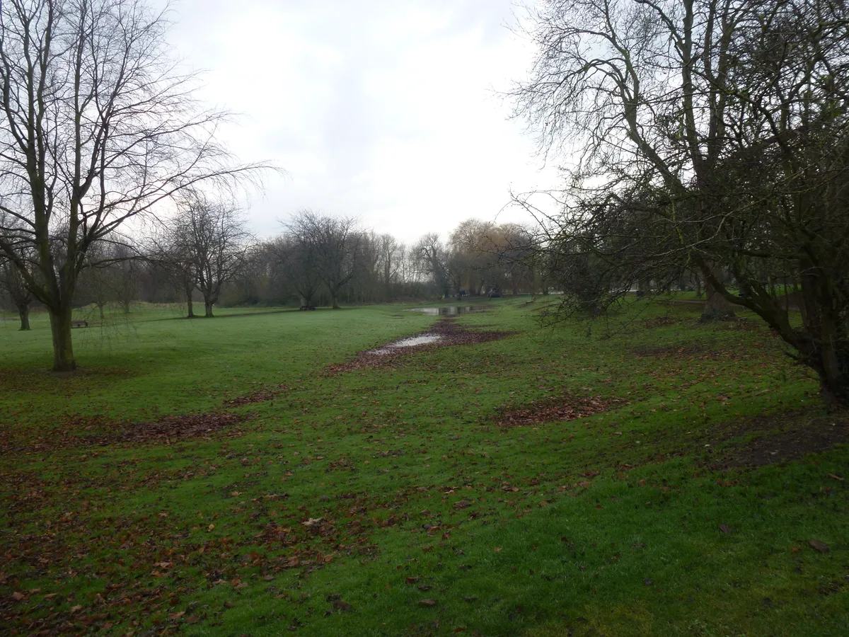
Bourne Castle
Castles · 0.3 km
Nearby
📷 7Hotels · East Midlands
The Angel Hotel
The Angel Hotel — a hotel in england east midlands.
📷 5Historic pubs · East Midlands
The Burghley Arms
The Burghley Arms — Historic pub — listed building or notable heritage status.
📷 5📷 5Farmers’ markets · East Midlands
Bourne Market
Bourne Market — a UK farmers' market in england east midlands.
📷 3Theatres · East Midlands
Film Theatre
Film Theatre in England East, United Kingdom.
📷 3Memorials & monuments · East Midlands
Bourne War Memorial
Bourne War Memorial is a memorial in the United Kingdom.
Where to eat & stay near Bourne, Lincolnshire
Places to stay
📷 7Hotels · East Midlands
The Angel Hotel
The Angel Hotel — a hotel in england east midlands.
 📷 5
📷 5Caravan parks · East Midlands
Wishing Well Caravan Site
Wishing Well Caravan Site — a caravan park in england east midlands.
 📷 5
📷 5Caravan parks · East Midlands
Cresslands
Cresslands — a caravan park in england east midlands.
 📷 5
📷 5Caravan parks · East Midlands
Windmill Farm Caravan Park
Windmill Farm Caravan Park — a caravan park in england east midlands.
 📷 4
📷 4Caravan parks · East Midlands
Home Farm Camping and Caravaning
Home Farm Camping and Caravaning — a caravan park in england east midlands.
 📷 5
📷 5Places to eat & drink
📷 5Historic pubs · East Midlands
The Burghley Arms
The Burghley Arms — Historic pub — listed building or notable heritage status.
📷 5 📷 5
📷 5 📷 5
📷 5 📷 5
📷 5 📷 5
📷 5Historic pubs · East Midlands
Money Bridge Public House
Money Bridge Public House in England East, United Kingdom.
More museums in this region
 📷 5
📷 5Museums · East Midlands
Stamford Town Hall
Stamford Town Hall — building in Stamford, Lincolnshire, England, UK.
 📷 5
📷 5Museums · East Midlands
Thorney Museum
Thorney Museum — a museum in england-london, United Kingdom.
 📷 5
📷 5Museums · East Midlands
Octavia Hill Birthplace Museum
Octavia Hill Birthplace Museum — a museum in england-london, United Kingdom.
 📷 5
📷 5Museums · East Midlands
Museum of Technology
Museum of Technology — a museum in england-london, United Kingdom.
Frequently asked questions
- Where is Bourne, Lincolnshire?
- Bourne, Lincolnshire is in Lincolnshire, the East Midlands, United Kingdom (postcode PE10 9EA), in the parish of Bourne.
- What is Bourne, Lincolnshire?
- Bourne is a market town and civil parish in the South Kesteven district of Lincolnshire, England. It lies on the eastern slopes of the limestone Kesteven Uplands and the western edge of the Fens, 11 m
- How do I get to Bourne, Lincolnshire?
- The nearest town is Haconby. Drivers can use postcode PE10 9EA.
- Is Bourne, Lincolnshire free to visit?
- Yes, Bourne, Lincolnshire is free to enter.
- How do I get to Bourne, Lincolnshire?
- Drivers can navigate to postcode PE10 9EA. It sits within the Grantham and Bourne parliamentary constituency.