
Archaeological sites · South East England
Bottom Wood
In or near Radnage.
Bottom Wood — English nature reserve.

Wikimedia Commons licence
Plan your visit
- Typical visit
- 45 min–1.5 h
- Nearest railway station
- Saunderton · 3.0 km
- Free entry
- Dog-friendly
Getting there & planning your visit
To visit Bottom Wood in Buckinghamshire, the nearest railway station is Saunderton, located 3 km away. Entry is free, and the postcode for sat-nav is HP14 4BY.
About
Bottom Wood is an archaeological site in the United Kingdom. Wikidata describes it as: "English nature reserve". Coordinates: 51.6540°, -0.8510°.
Photo gallery
Protected designations
- Area of Outstanding Natural Beauty: Chilterns
Designations sourced from Natural England open data under OGL v3.
From the Wikipedia article
Bottom Wood is a 14.5-hectare (36-acre) woodland in the English county of Buckinghamshire, located just north of the A40 near the hamlet of Studley Green. Since 1984, the wood has been owned by the Chiltern Society, which manages it as a nature reserve with the help of volunteers. Although an ancient woodland, most of the trees in the wood date from the end of the 1940s or later, as much of the wood was felled during the Second World War to produce Bryant and May matches. The wood is now home to a diverse range of flora and fauna, including rare species of butterfly and moth.
Excerpt from Wikipedia under CC BY-SA 4.0. See the source article linked in Sources below.
Background
History
The main part of Bottom Wood is ancient woodland, although it is not known exactly how long the area has been wooded. Medieval documents show that the area was owned by the French Abbey of Fontrevaud, from the 12th century until 1413, when the land was returned to the Crown. The land was later given to Sir John Phillip and remained in the family for several years before coming under the ownership of Eton College and then the Earl of Caernarvon. It subsequently passed through several other hands, until it was acquired by John Scrope, owner of Wormsley Park, in 1737. The wood continued to be part of this estate until the 1930s. A tithe map from 1841 is the first known document naming the…
Sourced from Wikipedia under CC BY-SA 4.0.
- Coordinates
- 51.6540, -0.8510
- District
- Buckinghamshire
- Parish
- Radnage
- Postcode
- HP14 4BY
- Parliamentary constituency
- Mid Buckinghamshire
- Nearest railway station
- Saunderton — 3 km
Sources
- wikidata: Q4949125 (CC0)
- wikipedia: Bottom Wood (CC BY-SA 4.0)
Other places nearby

Radnage
Villages · 0.7 km

Horsleys Green Manor
Manor houses · 1.4 km

Radnage War Memorial
Memorials & monuments · 1.5 km

Home Farm
Campsites · 1.6 km

Radnage
Towns & cities · 2.0 km

Chipps Manor
Manor houses · 2.0 km

Yoesden
Wildlife reserves · 2.4 km
Yoesden Nature Reserve
Forests & woodlands · 2.4 km

Bradenham Hill
Mountains & hills · 2.5 km
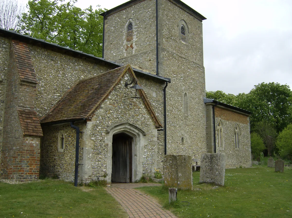
Church of St Mary, Radnage
Historic churches · 2.5 km

Saunderton
Villages · 3.0 km

Stokenchurch
Towns & cities · 3.2 km
Nearby
📷 5📷 3Manor houses · South East England
Horsleys Green Manor
Horsleys Green Manor — Grade II listed building-listed manor in england-west-midlands, United Kingdom.
📷 4Memorials & monuments · South East England
Radnage War Memorial
Radnage War Memorial — Grade II listed building-listed memorial in england-west-midlands, United Kingdom.
📷 5📷 4Towns & cities · South East England
Radnage
Radnage — village and civil parish in Buckinghamshire, UK.
📷 3Manor houses · South East England
Chipps Manor
Chipps Manor — Grade II* listed building-listed manor in england-west-midlands, United Kingdom.
Where to eat & stay near Bottom Wood
Places to stay
📷 5 📷 5
📷 5Campsites · South East England
Cholsey Grange CARAVAN Certificated Location
Cholsey Grange CARAVAN Certificated Location — a campsite in england west midlands.
 📷 5
📷 5Campsites · South East England
Chiltern Retreat, Woodland Camping
Chiltern Retreat, Woodland Camping — a campsite in england west midlands.
 📷 5
📷 5Campsites · South East England
Chiltern Retreat, Park Field Camping
Chiltern Retreat, Park Field Camping — a campsite in england south east.
 📷 5
📷 5 📷 5
📷 5Hotels · South East England
Hampton by Hilton High Wycombe
Hampton by Hilton High Wycombe — a hotel in england west midlands. 3-star. Brand: Hampton.
Places to eat & drink
 📷 7
📷 7 📷 5
📷 5Historic pubs · South East England
Sir Charles Napier Inn
Sir Charles Napier Inn in England South East, United Kingdom.
 📷 5
📷 5Historic pubs · South East England
The Bull And Butcher
The Bull And Butcher in England South East, United Kingdom.
 📷 5
📷 5 📷 5
📷 5Restaurants · South East England
Treatz
Treatz — a restaurant in england west midlands.
 📷 7
📷 7Historic pubs · South East England
The Flint Cottage Inn
The Flint Cottage Inn in England South East, United Kingdom.
More archaeological sites in this region
 📷 5
📷 5Archaeological sites · South East England
Chatham Dockyard, site of South Mast Pond
Chatham Dockyard, site of South Mast Pond — archaeological site in Medway, Kent, England, UK.
 📷 5
📷 5Archaeological sites · South East England
Open areas within Roman, Saxon and medieval town
Open areas within Roman, Saxon and medieval town — archaeological site in Medway, Kent, England, UK.
 📷 5
📷 5Archaeological sites · South East England
Oxmoor Copse
Oxmoor Copse — woodland in Surrey, England.
 📷 5
📷 5Frequently asked questions
- Where is Bottom Wood?
- Bottom Wood is in the West Midlands, United Kingdom (postcode HP14 4BY), in the parish of Radnage.
- What is Bottom Wood?
- Bottom Wood — English nature reserve.
- How do I get to Bottom Wood?
- The nearest railway station is Saunderton, about 3.0 km away. Drivers can use postcode HP14 4BY.
- Who owns Bottom Wood?
- Bottom Wood is owned by | website =.
- Is Bottom Wood a protected site?
- Yes — Bottom Wood is part of the Chilterns National Landscape (AONB).
- Is Bottom Wood free to visit?
- Yes, Bottom Wood is free to enter.
- How do I get to Bottom Wood?
- The nearest railway station is Saunderton, about 3.0 km away. Drivers can navigate to postcode HP14 4BY.