
Mountains & hills · South East England
Bostal Hill
In or near Alfriston.
Bostal Hill — mountain in england south east. Elevation: 191 m.

Chris Heaton — CC BY-SA 2.0 via Wikimedia Commons licence

Plan your visit
- Typical visit
- 3 h–8 h
- Best time of year
- Late spring – early autumn (May–Oct)
- Nearest railway station
- Mungo's Central Station · 2.8 km
- Dog-friendly
About
Bostal Hill is a mountain located in england south east. Elevation: 191 m. A named British peak recorded in OpenStreetMap. Peaks are typically named on Ordnance Survey 1:50k mapping.
Photo gallery
360° viewimagery from 2019
Imagery © Mapillary contributors, CC BY-SA 4.0
Protected designations
- Site of Special Scientific Interest: Firle Escarpment SSSI
Designations sourced from Natural England open data under OGL v3.
Place summary
Bostal Hill is a prominent hill located in South-East England. It is known for its scenic views and is a popular spot for outdoor activities. Visitors can expect a range of walking trails suitable for various skill levels. The area offers a natural setting, ideal for those looking to explore the countryside.
AI-generated from the structured facts on this page (operator, designation, listing, era). Not a substitute for visiting.
- Coordinates
- 50.8231, 0.1238
- County
- East Sussex
- District
- Wealden
- Parish
- Alciston
- Postcode
- BN26 6UJ
- Parliamentary constituency
- Lewes
- Nearest railway station
- Mungo's Central Station — 2.8 km
Sources
- osm: n10107992323 (ODbL)
Other places nearby

The Parish Church
Historic churches · 1.2 km

Rose Cottage Inn
Historic pubs · 1.4 km
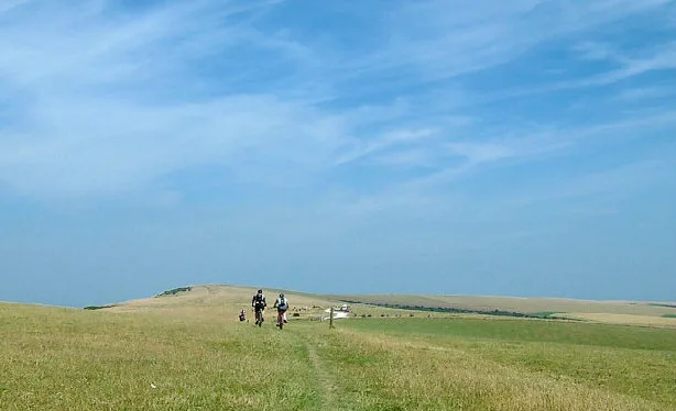
Firle Beacon
Mountains & hills · 1.6 km

Firle
Museums · 1.9 km

Long Burgh long barrow
Burial mounds & barrows · 1.9 km

Selmeston and Alciston War Memorial
Memorials & monuments · 2.2 km

The Parish Church of St Michael and All Angels, Berwick
Historic churches · 2.2 km

Charleston Farmhouse
Museums · 2.2 km

Charleston House
Museums · 2.3 km

Lord's Burghs
Archaeological sites · 2.4 km
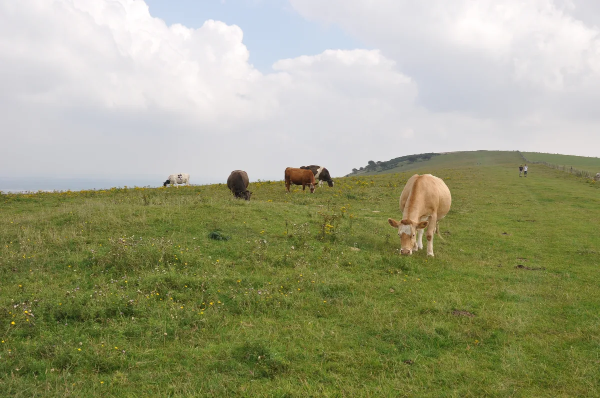
Three hlaews 400m north east of Overhill Lodge
Archaeological sites · 2.4 km

Selmeston
Villages · 2.5 km
Nearby
📷 5Historic churches · South East England
The Parish Church
The Parish Church — church in Alciston, East Sussex, England, UK.
📷 5Historic pubs · South East England
Rose Cottage Inn
Rose Cottage Inn in England South East, United Kingdom.
📷 5📷 5Museums · South East England
Firle
Firle (; Sussex dialect: Furrel ) is a village and civil parish in the Lewes district of East Sussex, England. Firle refers to an Old English word fierol meaning overgrown with oak. Although the orig
📷 5Burial mounds & barrows · South East England
Long Burgh long barrow
Long Burgh long barrow — a burial mound in South East England, United Kingdom.
📷 5Memorials & monuments · South East England
Selmeston and Alciston War Memorial
Selmeston and Alciston War Memorial — Grade II listed building-listed memorial in england-south-east, United Kingdom.
Where to eat & stay near Bostal Hill
Places to stay
 📷 5
Campsites · South East England
Alfriston Camping Park
Alfriston Camping Park — a campsite in england south east.
 📷 5
Caravan parks · South East England
Alfriston Camping Park
Alfriston Camping Park — a caravan park in england south east.
 📷 7
Hotels · South East England
Star Inn
Star Inn — a hotel in england south east.
 📷 7
 📷 7
Hotels · South East England
Deans Place
Deans Place — a hotel in england south east.
 📷 5
Caravan parks · South East England
Three Ponds Holiday Park and Fishery
Three Ponds Holiday Park and Fishery — a caravan park in england south east.
Places to eat & drink
📷 5Historic pubs · South East England
Rose Cottage Inn
Rose Cottage Inn in England South East, United Kingdom.
 📷 5
Historic pubs · South East England
The Plough And Harrow Inn
The Plough And Harrow Inn in England South East, United Kingdom.
 📷 5
Historic pubs · South East England
The Eight Bells Inn
The Eight Bells Inn in England South East, United Kingdom.
 📷 7
Historic pubs · South East England
The Golden Cross Inn
The Golden Cross Inn in England South East, United Kingdom.
 📷 5
Historic pubs · South East England
Gardeners Arms
Gardeners Arms in England South East, United Kingdom.
 📷 5
Historic pubs · South East England
The Black Horse Inn
The Black Horse Inn — Historic pub — listed building or notable heritage status.
More mountains in this region
 📷 5
 📷 5
Mountains & hills · South East England
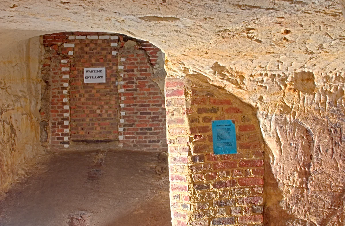
Reigate Caves
Reigate Caves is a mountain or hill in the United Kingdom.
 📷 5
Mountains & hills · South East England
North Downs
North Downs — a hill or mountain in england london.
 📷 5
Mountains & hills · South East England
Blue Bell Hill
Blue Bell Hill — a hill or mountain in england london.
Frequently asked questions
- Where is Bostal Hill?
- Bostal Hill is in East Sussex, South-East England, United Kingdom (postcode BN26 6UJ), in the parish of Alciston.
- What is Bostal Hill?
- Bostal Hill — mountain in england south east. Elevation: 191 m.
- How do I get to Bostal Hill?
- The nearest railway station is Mungo's Central Station, about 2.8 km away. The nearest town is Alfriston. Drivers can use postcode BN26 6UJ.
- Is Bostal Hill a protected site?
- Yes — Bostal Hill is part of the Firle Escarpment SSSI Site of Special Scientific Interest.
- How do I get to Bostal Hill?
- The nearest railway station is Mungo's Central Station, about 2.8 km away. Drivers can navigate to postcode BN26 6UJ.