
Historic bridges · North East England
Border Counties Bridge
In or near Acomb.
Border Counties Bridge in England North East, United Kingdom.

Oliver Dixon — CC BY-SA 2.0 via Wikimedia Commons licence

Plan your visit
- Typical visit
- 15 min–30 min
- Nearest railway station
- Hexham · 1.9 km
- Free entry
- Dog-friendly
About
Border Counties Bridge is a place of interest in England North East, United Kingdom — drawn from open-data sources for visitor reference. See the linked Wikipedia article for the full description.
Photo gallery
Official information
The Border Counties Bridge, constructed in 1856, was part of a railway intended to transport coal and ironstone. Although it faced numerous challenges and was eventually closed to passenger trains in 1956, remnants of the bridge can still be seen today in the river bed near Hexham.
From the Wikipedia article
Border Counties Bridge was a 19th-century railway bridge across the River Tyne just west of Hexham, Northumberland, England. The bridge used to carry the Border Counties Railway over the River Tyne at Border Counties Junction with the Newcastle and Carlisle Railway.
Excerpt from Wikipedia under CC BY-SA 4.0. See the source article linked in Sources below.
Background
History
The Border Counties Railway was authorised by Parliament in 1854. The bridge was beset with problems from its construction when the temporary wooden structure erected initially to allow a crane access, was swept away by floods. The abutments at the south end had to be moved eastwards to avoid scouring of the river at its original site. Both weight and speed restrictions have always been a feature of the bridge. The bridge was reportedly damaged by floods in August 1948 and was given temporary repairs sufficient to keep the line open for a time. The condition of the bridge was a major factor in the eventual closure of the line, the cost of repairs being considered prohibitive. Regular…
Sourced from Wikipedia under CC BY-SA 4.0.
- Coordinates
- 54.9821, -2.1207
- District
- Northumberland
- Parish
- Acomb
- Postcode
- NE46 4QJ
- Parliamentary constituency
- Hexham
- Established
- 1856
- Nearest railway station
- Hexham — 1.9 km
- Opening
- {{start date|1856}}
- Official site
- www.bridgesonthetyne.co.uk
Sources
- wikidata: Q4944544 (CC0)
- wikipedia: Border Counties Bridge (CC BY-SA 4.0)
Other places nearby

Constantius Bridge
Historic bridges · 0.3 km

Hexham Old Bridge
Historic bridges · 0.6 km

Riverside Leisure Holiday Park
Caravan parks · 0.7 km

Tyne Green Holiday Park
Caravan parks · 0.9 km

River Tyne
Natural landmarks · 1.0 km

War Memorial to North-East of Church of St John
Memorials & monuments · 1.0 km
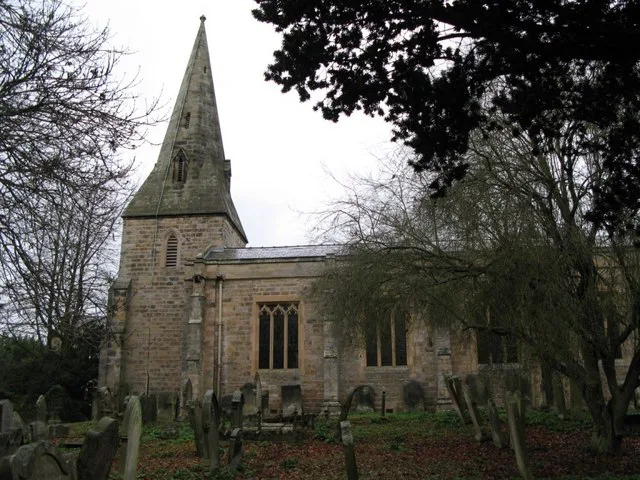
Church of St John of Beverley
Abbeys & priories · 1.0 km

Church of St John of Beverley
Cathedrals · 1.0 km

Warden Railway Bridge
Historic bridges · 1.3 km

Acomb
Towns & cities · 1.3 km

Holy Island Cottage
Historic churches · 1.3 km

Holy Island House
Historic houses · 1.3 km
Nearby
📷 3Historic bridges · North East England
Constantius Bridge
Constantius Bridge is a historic bridge in the United Kingdom.
📷 4Historic bridges · North East England
Hexham Old Bridge
Hexham Old Bridge in England North East, United Kingdom.
📷 5Caravan parks · North East England
Riverside Leisure Holiday Park
Riverside Leisure Holiday Park — a caravan park in scotland lowlands.
📷 5Caravan parks · North East England
Tyne Green Holiday Park
Tyne Green Holiday Park — a caravan park in scotland lowlands.
📷 5Natural landmarks · North East England
River Tyne
River Tyne in England North East, United Kingdom.
📷 3Memorials & monuments · North East England
War Memorial to North-East of Church of St John
War Memorial to North-East of Church of St John — Grade II listed building-listed memorial in scotland-lowlands, United Kingdom.
Where to eat & stay near Border Counties Bridge
Places to stay
📷 5Caravan parks · North East England
Riverside Leisure Holiday Park
Riverside Leisure Holiday Park — a caravan park in scotland lowlands.
📷 5Caravan parks · North East England
Tyne Green Holiday Park
Tyne Green Holiday Park — a caravan park in scotland lowlands.
 📷 5
📷 5B&Bs · North East England
The Station Inn
The Station Inn — a bed-and-breakfast in scotland lowlands.
 📷 5
📷 5Hotels · North East England
County Hotel
County Hotel — a hotel in scotland lowlands.
 📷 5
📷 5Caravan parks · North East England
Heathergate Country Park
Heathergate Country Park — a caravan park in scotland lowlands.
 📷 5
📷 5Campsites · North East England
Fallowfield Caravan Park
Fallowfield Caravan Park — a campsite in scotland lowlands.
Places to eat & drink
 📷 5
📷 5 📷 6
📷 6 📷 7
📷 7Historic pubs · North East England
The Vicars Pele
The Vicars Pele in Scotland Lowlands, United Kingdom.
 📷 5
📷 5Historic pubs · North East England
Travellers' Rest Inn
Travellers' Rest Inn in Scotland Lowlands, United Kingdom.
 📷 7
📷 7Historic pubs · North East England
Anchor Hotel
Anchor Hotel in Scotland Lowlands, United Kingdom.
 📷 5
📷 5Historic pubs · North East England
Wellington Inn
Wellington Inn in Scotland Lowlands, United Kingdom.
More bridges in this region
 📷 3
📷 3Historic bridges · North East England
Bridge About 30 Metres South Of The Manor House
Bridge About 30 Metres South Of The Manor House — Grade II listed building-listed bridge in england-yorkshire, United Kingdom.
 📷 3
📷 3Historic bridges · North East England
Old Bridge Over Nor Beck, On East Side Of Road
Old Bridge Over Nor Beck, On East Side Of Road — Grade II listed building-listed bridge in england-yorkshire, United Kingdom.
 📷 3
📷 3Historic bridges · North East England
Barnard Castle Bridge
Barnard Castle Bridge is a historic bridge in the United Kingdom.
 📷 3
📷 3Historic bridges · North East England
Blandswath Bridge
Blandswath Bridge is a historic bridge in the United Kingdom.
Frequently asked questions
- Where is Border Counties Bridge?
- Border Counties Bridge is in North-East England, United Kingdom (postcode NE46 4QJ), in the parish of Acomb.
- What is Border Counties Bridge?
- Border Counties Bridge in England North East, United Kingdom.
- How do I get to Border Counties Bridge?
- The nearest railway station is Hexham, about 1.9 km away. Drivers can use postcode NE46 4QJ.
- When was Border Counties Bridge built?
- Built or established in 1856.
- Who owns Border Counties Bridge?
- Border Counties Bridge is owned by British Railways {{small|at the time of demolition in 1959}}.
- Is Border Counties Bridge free to visit?
- Yes, Border Counties Bridge is free to enter.
- How do I get to Border Counties Bridge?
- The nearest railway station is Hexham, about 1.9 km away. Drivers can navigate to postcode NE46 4QJ.