
Abbeys & priories · East of England
Blythburgh Priory
In or near Wenhaston.
Blythburgh Priory — a Grade II-listed abbey in england-east, United Kingdom.

Reiner Tegtmeyer — CC BY-SA 2.0 via Wikimedia Commons licence

Plan your visit
- Typical visit
- 45 min–1.5 h
- Nearest railway station
- Blythburgh · 0.1 km
- Family-friendly
- Limited wheelchair access
Getting there & planning your visit
To visit Blythburgh Priory, the nearest railway station is Blythburgh, located just 0.1 km away. The postcode for sat-nav is IP19 9LR. Accessibility is limited for wheelchair users.
About
Blythburgh Priory is a Grade II-listed building in england-east, United Kingdom. Grade II status is conferred by Historic England (or Cadw, Historic Environment Scotland or NIEA equivalents) on buildings of exceptional national interest. See the linked Wikipedia article for full historical and architectural details.
Photo gallery
Protected designations
- Site of Special Scientific Interest: Minsmere-Walberswick Heaths and Marshes SSSI
- Area of Outstanding Natural Beauty: Suffolk Coast & Heaths
- Ramsar wetland: Minsmere-Walberswick
Designations sourced from Natural England open data under OGL v3.
From the Wikipedia article
Blythburgh Priory was a medieval monastic house of Augustinian canons, dedicated to the Blessed Virgin Mary, located in the village of Blythburgh in Suffolk, England. Founded in the early 12th century, it was among the first Augustinian houses in England and began as a cell of St Osyth's Priory in Essex. Although it acquired a conventual life of its own, its community was always small and in some respects maintained dependency upon the parent house. It was earmarked for closure by Cardinal Wolsey during the late 1520s but survived his fall and continued until dissolution in 1536. Although it stood near the medieval parish church of the Holy Trinity, Blythburgh, renowned landmark overlooking the estuary of the river Blyth, the Priory was a separate group of structures with its own large Norman church and conventual buildings in stone. While it is important to distinguish between the (lost) church of the priory, and the (existing) parish church, the connection between the two sites may have its roots in pre-Conquest times. The priory ruins have been known to county historians for centuries, but they became overgrown and neglected during the 20th century, standing in the grounds of a private residence where public access was discouraged. They have been the subject of various campaigns of investigation in recent years, and are now carefully preserved and remain in private ownership. A great deal of information about the priory's patrons, its charters, estates and temporalities, can be derived from the surviving Priory Cartulary, edited by Christopher Harper-Bill, and from related records. A special aspect of the priory's topographical interest lies in its association with a far older phase of East Anglian history. For various reasons it is believed to have had a connection with the 7th century Anglo-Saxon King Anna of the East Angles (died A.D. 653 or 654), a Christian ruler who died defending his kingdom in battle. According to the 12th-century Liber Eliensis,…
Excerpt from Wikipedia under CC BY-SA 4.0. See the source article linked in Sources below.
Background
Description
Following the death of the powerful East Anglian King Raedwald, c. A.D. 624, his ascendancy over English rulers continued not with his East Anglian successors but with Edwin of Northumbria, whom Raedwald had assisted to the throne of York in 616. King Edwin's 626 conversion to Christianity and marriage to Princess Æthelburh of Kent set the stage for conflict between his dominion in eastern England and the opposing combined forces of the King of the Britons Cadwallon ap Cadfan and of King Penda, King of Mercia, a devotee of Woden. Christianity in East Anglia took root under Sigeberht, Raedwald's stepson. Returning from exile in Gaul as a Christian, Sigeberht built schools and monasteries and…
Sourced from Wikipedia under CC BY-SA 4.0.
- Coordinates
- 52.3218, 1.5968
- County
- Suffolk
- District
- East Suffolk
- Parish
- Blythburgh
- Postcode
- IP19 9LR
- Parliamentary constituency
- Suffolk Coastal
- Established
- 1147
- Nearest railway station
- Blythburgh — 0.1 km
- Official site
- www.blythburghpriory.co.uk
Sources
- wikidata: Q4930872 (CC0)
- wikipedia: Blythburgh Priory (CC BY-SA 4.0)
Other places nearby

Blythburgh Village Sign and War Memorial
Memorials & monuments · 0.1 km
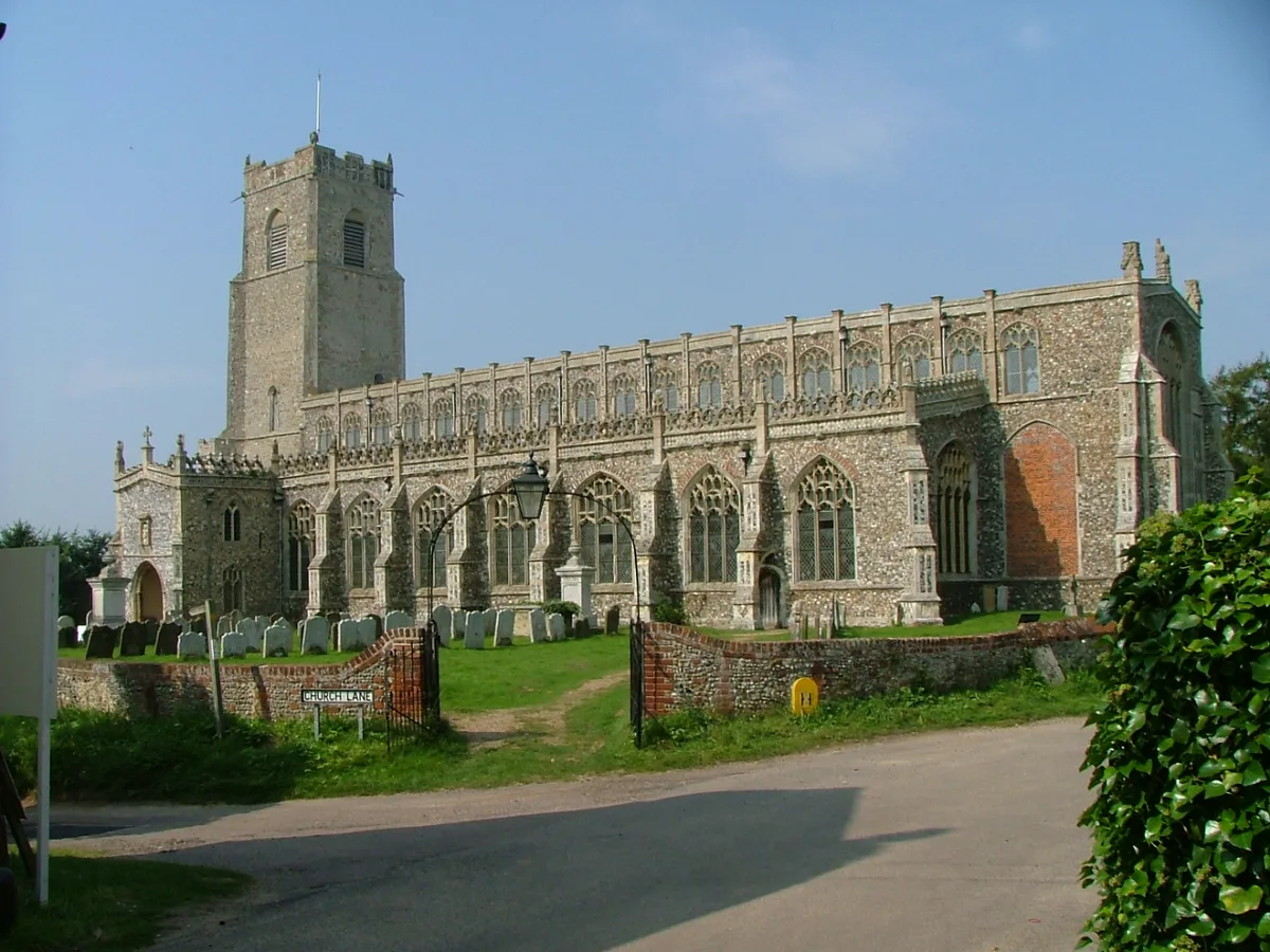
Holy Trinity Church, Blythburgh
Historic churches · 0.2 km

Toby's Walks
Natural landmarks · 1.1 km
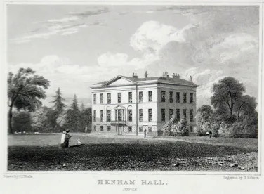
Henham Park
Parks · 1.9 km
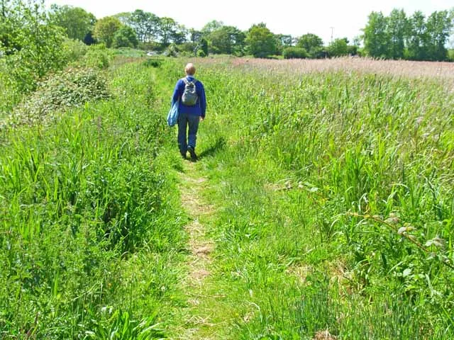
Hen Reedbeds
Wildlife reserves · 2.4 km

Wang Marshes Viewing Platform
Viewpoints · 2.5 km

Wolsey Creek Viewing Platform
Viewpoints · 2.5 km

Wenhaston Village Sign
Public art & sculpture · 2.6 km

Wenhaston War Memorial
Memorials & monuments · 2.7 km

Church of St Peter
Historic churches · 2.7 km

Thorington Theatre
Theatres · 2.8 km
Wenhaston
Towns & cities · 2.9 km
Nearby
📷 3Memorials & monuments · East of England
Blythburgh Village Sign and War Memorial
Blythburgh Village Sign and War Memorial is a memorial in the United Kingdom.
📷 5Historic churches · East of England
Holy Trinity Church, Blythburgh
Holy Trinity Church, Blythburgh — church in Blythburgh, Suffolk, England, UK.
📷 3Natural landmarks · East of England
Toby's Walks
Toby's Walks — a other in england-east, United Kingdom.
📷 3Parks · East of England
Henham Park
Henham Park — park in Wangford with Henham, East Suffolk, Suffolk, England, UK.
📷 3Wildlife reserves · East of England
Hen Reedbeds
Hen Reedbeds — Suffolk Wildlife Trust nature reserve.
📷 3Viewpoints · East of England
Wang Marshes Viewing Platform
Wang Marshes Viewing Platform is a viewpoint in the United Kingdom.
Where to eat & stay near Blythburgh Priory
Places to stay
 📷 5
📷 5 📷 5
📷 5Caravan parks · East of England
Walberswick Caravan Site
Walberswick Caravan Site — a caravan park in england east.
 📷 5
📷 5Caravan parks · East of England
Haw Wood Caravan Park
Haw Wood Caravan Park — a caravan park in england east.
 📷 5
📷 5Campsites · East of England
Southwold Camping and Caravan Site
Southwold Camping and Caravan Site — a campsite in england east.
 📷 5
📷 5 📷 5
📷 5Caravan parks · East of England
Jubilee Certified Site
Jubilee Certified Site — a caravan park in england east.
Places to eat & drink
 📷 5
📷 5 📷 5
📷 5Historic pubs · East of England
Cherry Tree Public House
Cherry Tree Public House in England East, United Kingdom.
 📷 5
📷 5Historic pubs · East of England
Huntingfield Arms
Huntingfield Arms in England East, United Kingdom.
 📷 6
📷 6Historic pubs · East of England
The Swan, Peasenhall
The Swan, Peasenhall in England East, United Kingdom.
 📷 7
📷 7Historic pubs · East of England
The Parrot And Punchbowl Public House
The Parrot And Punchbowl Public House in England East, United Kingdom.
 📷 5
📷 5Historic pubs · East of England
Crown And Anchor Public House
Crown And Anchor Public House in England East, United Kingdom.
More abbeys in this region
 Flagship📷 5
 📷 5
📷 5Abbeys & priories · East of England
Blackborough Priory
Blackborough Priory — monastery in Middleton, King's Lynn and West Norfolk, England, UK.
 📷 5
📷 5Abbeys & priories · East of England
Bulstrode Preceptory
Bulstrode Preceptory — monastery in Buckinghamshire, England, UK.
 Flagship📷 5
Abbeys & priories · East of England
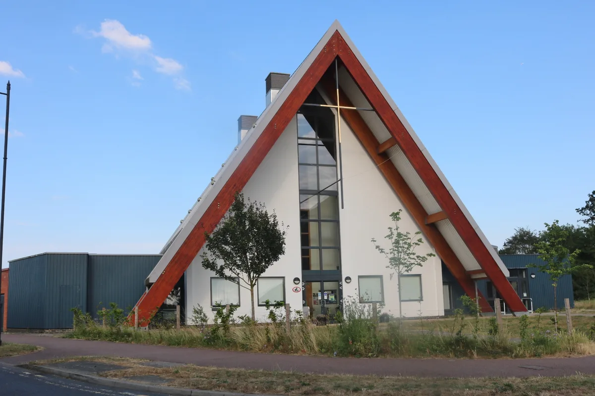
Cambourne Church
Cambourne Church is a abbey in the United Kingdom.
Frequently asked questions
- Where is Blythburgh Priory?
- Blythburgh Priory is in Suffolk, East of England, United Kingdom (postcode IP19 9LR), in the parish of Blythburgh.
- What is Blythburgh Priory?
- Blythburgh Priory — a Grade II-listed abbey in england-east, United Kingdom.
- How do I get to Blythburgh Priory?
- The nearest railway station is Blythburgh, about 0.1 km away. The nearest town is Wenhaston. Drivers can use postcode IP19 9LR.
- When was Blythburgh Priory built?
- Built or established in 1147.
- Is Blythburgh Priory a listed building?
- Blythburgh Priory is officially recognised as Grade II listed.
- Is Blythburgh Priory a protected site?
- Yes — Blythburgh Priory is part of the Minsmere-Walberswick Heaths and Marshes SSSI Site of Special Scientific Interest and the Suffolk Coast & Heaths National Landscape (AONB).
- How do I get to Blythburgh Priory?
- The nearest railway station is Blythburgh, about 0.1 km away. Drivers can navigate to postcode IP19 9LR.