
Castles · Mid Wales
Bleddfa Castle
In or near Llangunllo with Norton.
Bleddfa Castle — castle in Llangunllo, Powys, Wales, UK.

Wikimedia Commons licence
Plan your visit
- Typical visit
- 1.5 h–3 h
- Nearest railway station
- Llanbister Road · 4.7 km
- Family-friendly
- Limited wheelchair access
Getting there & planning your visit
To visit Bleddfa Castle, the nearest railway station is Llanbister Road, located 4.7 km away. The postcode for sat-nav is LD7 1PA. Please note that wheelchair accessibility is limited.
About
Bleddfa Castle is a castle in the United Kingdom — fortified architecture from the medieval, Tudor, or Victorian-revival period. Heritage designation: scheduled monument. Wikidata describes it as: "castle in Llangunllo, Powys, Wales, UK". Coordinates: 52.3072°, -3.1622°.
Photo gallery
Protected designations
- Site of Special Scientific Interest: River Teme SSSI
Designations sourced from Natural England open data under OGL v3.
From the Wikipedia article
Bleddfa Castle (sometimes referred to as Bledeach or Bledvach Castle) was a motte and bailey structure near Llangunllo in modern-day Powys, Wales. It is believed to have been built before 1195 and abandoned by 1304. What remains today is described as a "mutilated oval mound" of 46 by 36 metres (151 ft × 118 ft), containing some traces of masonry. It is surrounded by a rectangular bailey measuring 100 by 60 metres (330 ft × 200 ft), with a hedge on its northern border.
Excerpt from Wikipedia under CC BY-SA 4.0. See the source article linked in Sources below.
Background
History
The first record of Bleddfa appears in 1195, when Hugh de Say received from King Richard I licence to fortify the castle and a square tower; Hugh had been killed in the battle of Radnor in later part of 1195 itself. In 1262 the castle was captured and razed by Llewelyn ap Gruffydd, who snatched it from the control of the Mortimers. In 1304, Edward I began using material from the castle to erect church tower nearby, which was itself destroyed by the Welsh in 1403.
Description
There is a moat of 9.1 m depth, which is mostly in a ruined state. The masonry remnant in the mound is believed to have been a square tower. It has an inscription dated 1195, recording a grant for its renovation. Also noted near the bailey are remnants of two towers, which were defended by an artificial lake on the western and southern sides.
Sourced from Wikipedia under CC BY-SA 4.0.
- Coordinates
- 52.3072, -3.1622
- District
- Powys
- Parish
- Llangunllo
- Postcode
- LD7 1PA
- Parliamentary constituency
- Brecon, Radnor and Cwm Tawe
- Phone
- +44 1547 550377
- Nearest railway station
- Llanbister Road — 4.7 km
- Official site
- bleddfacentre.org
Sources
- wikidata: Q4925839 (CC0)
- wikipedia: Bleddfa Castle (CC BY-SA 4.0)
Other places nearby

Bleddfa
Hill forts · 0.1 km

Hundred House Inn
B&Bs · 0.1 km

The Bleddfa Centre
Galleries · 0.2 km

Storling Bank
Mountains & hills · 1.2 km

Glog Hill
Mountains & hills · 1.6 km

Fforest fach
Mountains & hills · 1.6 km

Llangunllo with Norton
Towns & cities · 1.7 km

Fishpools Hill
Mountains & hills · 2.2 km

Pen-y-clawdd Hill
Mountains & hills · 2.2 km

Graig Hill
Mountains & hills · 2.6 km

Pen Fraichwen
Mountains & hills · 2.9 km

Monaughty House
Historic houses · 3.0 km
Nearby
📷 4📷 5📷 3Galleries · Mid Wales
The Bleddfa Centre
The Bleddfa Centre — a gallery in Mid Wales, United Kingdom.
📷 5📷 3Mountains & hills · Mid Wales
Glog Hill
Glog Hill — a mountain in wales-mid, United Kingdom, 408 m.
📷 5Where to eat & stay near Bleddfa Castle
Places to stay
📷 5 📷 5
📷 5 📷 5
📷 5Caravan parks · Mid Wales
Presteign Holiday Park (E)
Presteign Holiday Park (E) — a caravan park in wales mid.
 📷 5
📷 5Caravan parks · Mid Wales
Presteign Holiday Park (W)
Presteign Holiday Park (W) — a caravan park in wales mid.
 📷 5
📷 5Campsites · Mid Wales
Panpwnton Farm
Panpwnton Farm — a campsite in wales mid.
 📷 5
📷 5Caravan parks · Mid Wales
Spring Rock Caravan Park
Spring Rock Caravan Park — a caravan park in wales mid.
Places to eat & drink
 📷 4
📷 4 📷 4
📷 4 📷 4
📷 4 📷 5
📷 5Historic pubs · Mid Wales
The Royal Oak Public House Including Rubblestone Wing To East
The Royal Oak Public House Including Rubblestone Wing To East in Wales Mid, United Kingdom.
 📷 5
📷 5Historic pubs · Mid Wales
32 and 33, Church Street
32 and 33, Church Street in Wales Mid, United Kingdom.
 📷 4
📷 4More castles in this region
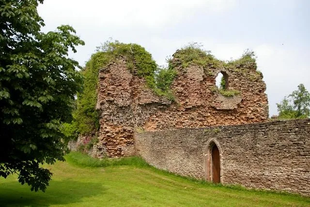 📷 3
📷 3Castles · Mid Wales
Alberbury Castle
Alberbury Castle — castle in Alberbury with Cardeston, Shropshire, England, UK.
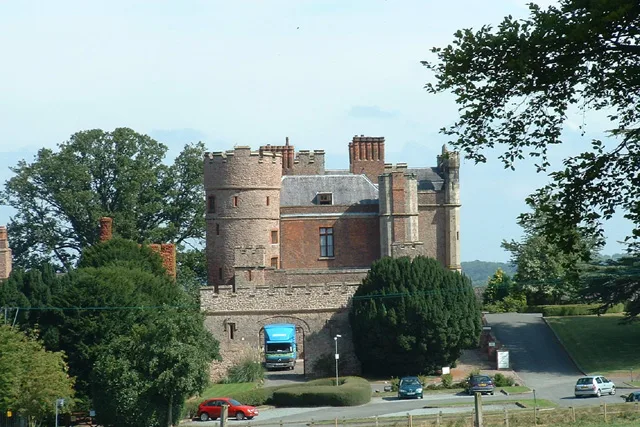 📷 5
📷 5Castles · Mid Wales
Rowton Castle
Rowton Castle — castle in Alberbury with Cardeston, Shropshire, England, UK.
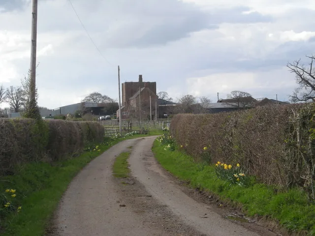 📷 4
📷 4Castles · Mid Wales
Wattlesborough Castle
Wattlesborough Castle — Grade I listed castle in Shropshire, England, UK.
 📷 5
📷 5Castles · Mid Wales
Wollaston, Shropshire
Wollaston, Shropshire — a castle in wales-north, United Kingdom.
Frequently asked questions
- Where is Bleddfa Castle?
- Bleddfa Castle is in Mid Wales, United Kingdom (postcode LD7 1PA), in the parish of Llangunllo.
- What is Bleddfa Castle?
- Bleddfa Castle — castle in Llangunllo, Powys, Wales, UK.
- How do I get to Bleddfa Castle?
- The nearest railway station is Llanbister Road, about 4.7 km away. The nearest town is Llangunllo with Norton. Drivers can use postcode LD7 1PA.
- Is Bleddfa Castle a listed building?
- Bleddfa Castle is officially recognised as scheduled monument listed.
- Is Bleddfa Castle a protected site?
- Yes — Bleddfa Castle is part of the River Teme SSSI Site of Special Scientific Interest.
- Does Bleddfa Castle charge admission?
- Bleddfa Castle typically charges admission. Check the official site for current ticket prices and opening hours.
- How do I get to Bleddfa Castle?
- The nearest railway station is Llanbister Road, about 4.7 km away. Drivers can navigate to postcode LD7 1PA.