Archaeological sites · North East England
Blakeley Raise Stone Circle
Blakeley Raise Stone Circle — archaeological in england north east.

M J Richardson — CC BY-SA 2.0 via Wikimedia Commons licence
Plan your visit
- Typical visit
- 45 min–1.5 h
About
Blakeley Raise Stone Circle is a archaeological located in england north east. A British archaeological site recorded in OpenStreetMap with at least one heritage quality signal (Wikidata link, Wikipedia article or designated operator).
Photo gallery
Place summary
Blakeley Raise Stone Circle is an archaeological site located in North-East England. It features a prehistoric stone circle, indicative of ancient ritual practices. The site is a significant remnant of the region's prehistoric landscape, offering insight into the area's historical significance. Visitors can explore the stone circle and its surrounding environment, providing a tangible connection to the past.
AI-generated from the structured facts on this page (operator, designation, listing, era). Not a substitute for visiting.
- Coordinates
- 54.5129, -3.4533
Sources
- osm: w495532002 (ODbL)
- wikidata: Q21061800 (CC0)
Other places nearby
Loading nearby places…
Nearby
 📷 3
📷 3Stone circles · North East England
Blakeley Raise Stone Circle
Blakeley Raise Stone Circle — a stone circle in england-north-east, United Kingdom.
 📷 3
📷 3Natural landmarks · North East England
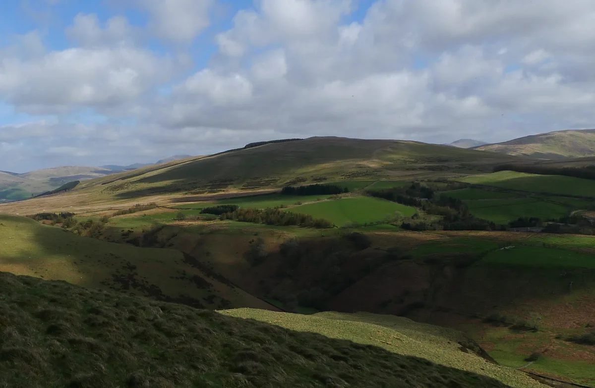
Blakeley Raise
Blakeley Raise — mountain in United Kingdom.
 📷 3
📷 3Mountains & hills · North East England
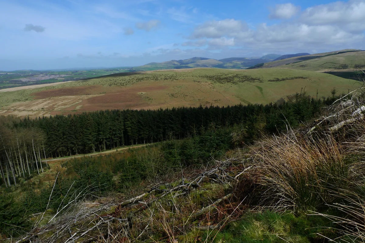
Flat Fell
Flat Fell — Named summit at 272 m.
 📷 3
📷 3Natural landmarks · North East England
Flat Fell
Flat Fell — mountain in United Kingdom.
 📷 2
📷 2Reservoirs & lochs · North East England
Meadley Reservoir
Meadley Reservoir — reservoir in Cumbria, England, UK.
 📷 5
📷 5Mountains & hills · North East England
Blakely Raise
Blakely Raise — mountain in england north east. Elevation: 388.9 m.
Where to eat & stay near Blakeley Raise Stone Circle
Places to stay
 📷 5
📷 5Hostels · North East England
Scouts - Ennerdale Campsite
Scouts - Ennerdale Campsite — a hostel in england north east.
 📷 5
📷 5Hotels · North East England
Ennerdale Country House Hotel
Ennerdale Country House Hotel — a hotel in england north east.
 📷 2
📷 2Campsites · North West England
Strudda Bank Farm Glamping Pods
Strudda Bank Farm Glamping Pods — a campsite in england north west.
 📷 5
📷 5Caravan parks · North East England
Inglenook Caravan Park
Inglenook Caravan Park — a caravan park in england north east.
 📷 5
📷 5Hostels · North East England
Ennerdale
Ennerdale — a hostel in england north east.
 📷 5
📷 5B&Bs · North West England
Abbey Farm House
Abbey Farm House — a bed-and-breakfast in england north west.


_Stone_Circle_-_1959_-_geograph.org.uk_-_4627340.jpg)
More archaeological sites in this region
 ★ Iconic📷 4
Archaeological sites · North East England
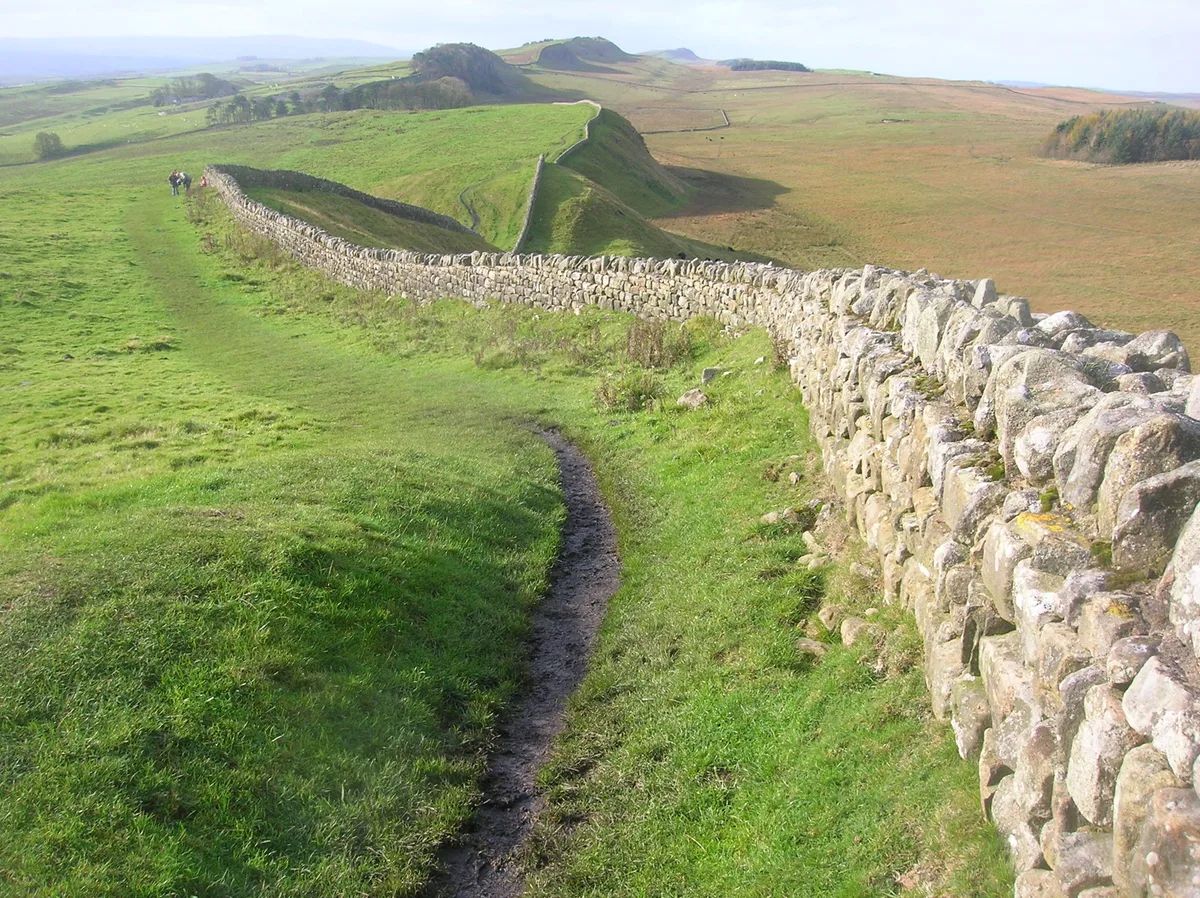
Hadrian's Wall
73-mile UNESCO World Heritage Roman frontier wall — Britain's most extensive Roman monument.
 📷 3
📷 3Archaeological sites · North East England
Force Crag mines and barytes mill and a prehistoric cairnfield
Force Crag mines and barytes mill and a prehistoric cairnfield — archaeological site in Above Derwent, Allerdale, England, UK.
 📷 3
📷 3Archaeological sites · North East England
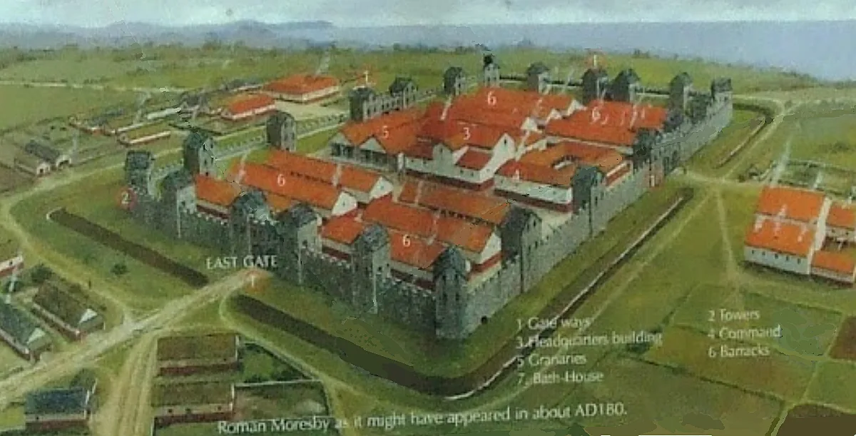
Gabrosentum Roman Fort
Gabrosentum Roman Fort — Roman fort in Parton, Copeland, England, UK.
 📷 3
📷 3Archaeological sites · North East England
Gisborough Priory Augustinian monastery: late Saxon settlement, cemetery, monastic precinct and dovecote
Gisborough Priory Augustinian monastery: late Saxon settlement, cemetery, monastic precinct and dovecote — archaeological site in Guisborough, Redcar and Cleveland, England, UK.
Frequently asked questions
- Where is Blakeley Raise Stone Circle?
- Blakeley Raise Stone Circle is in North-East England, United Kingdom.
- What is Blakeley Raise Stone Circle?
- Blakeley Raise Stone Circle — archaeological in england north east.
- How do I get to Blakeley Raise Stone Circle?
- Its coordinates are 54.5129°, -3.4533°.