
Historic bridges · South Wales
Bigsweir Bridge
In or near St Briavels.
Bigsweir Bridge — Grade II* listed building-listed bridge in wales-south, United Kingdom.

Rob Purvis — CC BY-SA 2.0 via Wikimedia Commons licence

Plan your visit
- Typical visit
- 15 min–30 min
- Nearest railway station
- Perrygrove · 6.0 km
- Free entry
- Dog-friendly
Getting there & planning your visit
To visit Bigsweir Bridge in South Wales, you can reach it via the nearest railway station, Perrygrove, which is 6 km away. The postcode for navigation is NP25 4TS, and entry to the bridge is free.
About
Bigsweir Bridge is a Grade II* listed building-listed bridge in wales-south, United Kingdom, registered on the National Heritage List for England (NHLE entry 1186622). Listed status protects buildings and structures of special architectural or historic interest. See the linked Wikipedia article for further details.
Photo gallery
See it from the streetimagery from 2020
Imagery © Mapillary contributors, CC BY-SA 4.0
Heritage listing
Bigsweir Bridge is an 1827 road bridge crossing the River Wye, straddling the boundary between the parish of St. Briavels, Gloucestershire, England, and Llandogo, Monmouthshire, Wales.
From the Historic England List Entry under OGL v3.
Protected designations
- Site of Special Scientific Interest: River Wye SSSI
- Site of Special Scientific Interest: Severn Estuary SSSI
- Area of Outstanding Natural Beauty: Wye Valley
- Ramsar wetland: Severn Estuary
Designations sourced from Natural England open data under OGL v3.
From the Wikipedia article
Bigsweir Bridge is an 1827 road bridge crossing the River Wye, straddling the boundary between the parish of St. Briavels, Gloucestershire, England, and Llandogo, Monmouthshire, Wales.
Excerpt from Wikipedia under CC BY-SA 4.0. See the source article linked in Sources below.
Background
Description
The elegant cast-iron road bridge was built in 1827 as part of the new turnpike road constructed up the lower part of the Wye valley between Chepstow and Monmouth. The bridge connects the English and Welsh sides of the river, with an abandoned but recently restored toll house on the Welsh side. The bridge comprises a single arch of 50 m , and was designed by Charles Hollis of London and cast at Merthyr Tydfil. A pair of stone flood arches were added at each end some years later, doubling the length of the bridge. and the Cadw listing for the Welsh side. The bridge was repaired, strengthened and repainted in 2010–11.
Sourced from Wikipedia under CC BY-SA 4.0.
- Coordinates
- 51.7427, -2.6695
- District
- Monmouthshire
- Parish
- Wye Valley
- Postcode
- NP25 4TS
- Parliamentary constituency
- Monmouthshire
- Nearest railway station
- Perrygrove — 6 km
- Opening
- |closed=
Sources
- wikidata: Q17551694 (CC0)
- wikipedia: Bigsweir Bridge (CC BY-SA 4.0)
Other places nearby

Bigsweir House
Manor houses · 0.6 km

Duchess Ride
Viewpoints · 1.4 km

The Polish Scouts Association
Hostels · 1.5 km

Wyegate Hill
Mountains & hills · 1.5 km

Church of St Oudoceus
Historic churches · 1.6 km

Llandogo
Villages · 1.6 km

Mork Hill
Mountains & hills · 1.8 km

Hart Hill
Mountains & hills · 1.9 km
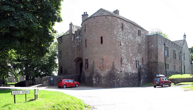
St Briavels Castle
Castles · 2.0 km
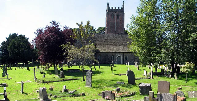
Church of St Mary
Historic churches · 2.0 km

Monument To Elizabeth Butler In The Churchyard About 3 Metres South Of The South West Corner Of The South Transept To The Church
Memorials & monuments · 2.0 km

Monument To James Gough In The Churchyard About 15 Metres South Of The Chancel Wall Of The Church Of St Mary
Memorials & monuments · 2.1 km
Nearby
📷 3📷 4📷 5Hostels · South Wales
The Polish Scouts Association
The Polish Scouts Association — a hostel in wales south.
📷 5Mountains & hills · South Wales
Wyegate Hill
Wyegate Hill — mountain in wales south. Elevation: 210 m.
📷 5Historic churches · South Wales
Church of St Oudoceus
Church of St Oudoceus — Grade II* listed building-listed church in wales-south, United Kingdom.
📷 5Where to eat & stay near Bigsweir Bridge
Places to stay
📷 5Hostels · South Wales
The Polish Scouts Association
The Polish Scouts Association — a hostel in wales south.
 📷 2
📷 2 📷 5
📷 5Campsites · South Wales
Botany Bay Scout campsite
Botany Bay Scout campsite — a campsite in wales south.
 📷 4
📷 4Campsites · South Wales
Highlands Camping and Caravan Site
Highlands Camping and Caravan Site — a campsite in wales south.
 📷 7
📷 7 📷 7
📷 7B&Bs · South Wales
Tintern Old Rectory B&B
Tintern Old Rectory B&B — a bed-and-breakfast in wales south.
Places to eat & drink

Restaurants · South Wales
The Whitebrook
The Whitebrook — a restaurant in wales south.
 📷 7
📷 7 📷 5
📷 5 📷 5
📷 5Cafés · South West England
Swan House
Swan House — a café in england west midlands.
 📷 5
📷 5Historic pubs · South Wales
The Green Dragon, Monmouth
The Green Dragon, Monmouth in Wales South, United Kingdom.
 📷 6
📷 6More bridges in this region
.jpg?width=1200) 📷 3
📷 3Historic bridges · South Wales
Afon Taff Viaduct
Afon Taff Viaduct is a historic bridge in the United Kingdom.
 📷 3
📷 3Historic bridges · South Wales
Avonmouth Bridge
Avonmouth Bridge is a historic bridge in the United Kingdom.
 📷 5
📷 5Historic bridges · South Wales
Biblins Bridge
Biblins Bridge is a historic bridge in the United Kingdom.
 📷 3
📷 3Historic bridges · South Wales
Blackweir Bridge
Blackweir Bridge is a historic bridge in the United Kingdom.
Frequently asked questions
- Where is Bigsweir Bridge?
- Bigsweir Bridge is in South Wales, United Kingdom (postcode NP25 4TS), in the parish of Wye Valley.
- What is Bigsweir Bridge?
- Bigsweir Bridge — Grade II* listed building-listed bridge in wales-south, United Kingdom.
- How do I get to Bigsweir Bridge?
- The nearest railway station is Perrygrove, about 6.0 km away. Drivers can use postcode NP25 4TS.
- Is Bigsweir Bridge a listed building?
- Bigsweir Bridge is officially recognised as Grade II* listed building listed.
- Is Bigsweir Bridge a protected site?
- Yes — Bigsweir Bridge is part of the River Wye SSSI Site of Special Scientific Interest and the Severn Estuary SSSI Site of Special Scientific Interest.
- Is Bigsweir Bridge free to visit?
- Yes, Bigsweir Bridge is free to enter.
- How do I get to Bigsweir Bridge?
- The nearest railway station is Perrygrove, about 6.0 km away. Drivers can navigate to postcode NP25 4TS.