
Castles · East of England
Benefield Castle
In or near Deene.
Benefield Castle — castle in Northamptonshire, UK.

thejackrustles — CC BY-SA 2.0 via Wikimedia Commons licence

Plan your visit
- Typical visit
- 1.5 h–3 h
- Nearest railway station
- Corby · 9.5 km
- Family-friendly
- Limited wheelchair access
Getting there & planning your visit
To visit Benefield Castle, the nearest railway station is Corby, located 9.5 km away. The postcode for sat-nav is PE8 5AF. Entry is not specified as free or paid, and wheelchair accessibility is limited.
About
Benefield Castle is a castle in the United Kingdom — fortified architecture from the medieval, Tudor, or Victorian-revival period. Heritage designation: scheduled monument. Wikidata describes it as: "castle in Northamptonshire, UK". Coordinates: 52.4851°, -0.5477°.
Photo gallery
Heritage listing
Benefield Castle was sited in the village of Lower Benefield, between the towns of Corby and Oundle in Northamptonshire at grid reference SP987884.
From the Historic England List Entry under OGL v3.
Protected designations
- Site of Special Scientific Interest: Banhaw, Spring and Blackthorn's Woods SSSI
Designations sourced from Natural England open data under OGL v3.
From the Wikipedia article
Benefield Castle was sited in the village of Lower Benefield, between the towns of Corby and Oundle in Northamptonshire at grid reference SP987884.
Excerpt from Wikipedia under CC BY-SA 4.0. See the source article linked in Sources below.
Background
History
Benefield Castle is classed as a ring work, and is thought to have been constructed during the twelfth century. Ringworks were Anglo Saxon medieval fortifications consisting of some buildings surrounded a large ditch and surmounted by a timber palisade or a stone wall. The exact date of the construction is not known, records however show that the castle is mentioned by name in documents dating to the thirteenth century. It may have one of the many fortifications created during the anarchy during the reign of King Stephen (1138–44). The castle was seized by King John in 1208, as the owner Hugh de Lisurs had failed to pay his debts. Henry III issued an order of restraint to his knights on 15…
Sourced from Wikipedia under CC BY-SA 4.0.
- Coordinates
- 52.4851, -0.5477
- District
- North Northamptonshire
- Parish
- Benefield
- Postcode
- PE8 5AF
- Parliamentary constituency
- Corby and East Northamptonshire
- Nearest railway station
- Corby — 9.5 km
- Official site
- thegreatbritainguide.com
Sources
- wikidata: Q4887436 (CC0)
- wikipedia: Benefield Castle (CC BY-SA 4.0)
Other places nearby
Benefield Castle (site of)
Castles · 0.0 km
Benefield War Memorial
Memorials & monuments · 0.1 km

Biggin Hall
Historic houses · 2.5 km

Glapthorn Cow Pastures NR
Forests & woodlands · 2.5 km
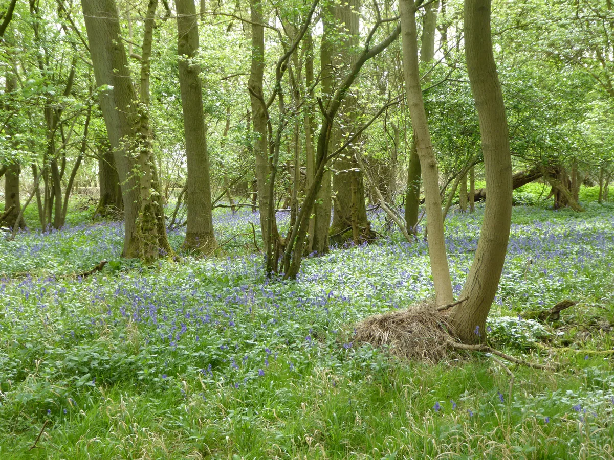
Glapthorn Cow Pasture
Wildlife reserves · 2.6 km

Lyveden Old Bield And Attached Outbuildings
Historic houses · 2.6 km

Yoke Hill Fishery
Natural landmarks · 2.8 km

Lyveden
Natural landmarks · 2.9 km
401st Bombardment Group H, US 8th Air Force
Memorials & monuments · 2.9 km

Brightside Caravan Park
Campsites · 3.0 km

Lyveden New Bield
Historic houses · 3.2 km

Lancaster DV361 of 307 Squadron
Memorials & monuments · 3.5 km
Nearby
📷 3Castles · East of England
Benefield Castle (site of)
Benefield Castle (site of) — a castle in england-west-midlands, United Kingdom.
📷 3Memorials & monuments · East of England
Benefield War Memorial
Benefield War Memorial — Grade II listed building-listed memorial in england-west-midlands, United Kingdom.
📷 3Historic houses · East of England
Biggin Hall
Biggin Hall — house in Benefield, North Northamptonshire, England, UK.
📷 3Forests & woodlands · East of England
Glapthorn Cow Pastures NR
Glapthorn Cow Pastures NR is a forest or woodland in the United Kingdom.
📷 5Wildlife reserves · East of England
Glapthorn Cow Pasture
Glapthorn Cow Pasture — nature reserve in the United Kingdom.
📷 3Historic houses · East Midlands
Lyveden Old Bield And Attached Outbuildings
Lyveden Old Bield And Attached Outbuildings — a Grade I-listed historic house in england-west-midlands, United Kingdom.
Where to eat & stay near Benefield Castle
Places to stay
📷 5Campsites · East Midlands
Brightside Caravan Park
Brightside Caravan Park — a campsite in england west midlands.
 📷 5
📷 5Campsites · East of England
Wadenhoe Scout Campsite
Wadenhoe Scout Campsite — a campsite in england west midlands.
 📷 5
📷 5Hotels · East Midlands
The Saxon Crown
The Saxon Crown — a hotel in england west midlands.
 📷 7
📷 7Hotels · East Midlands
Hampton by Hilton Corby/Kettering
Hampton by Hilton Corby/Kettering — a hotel in england west midlands. 4-star. Brand: Hampton.
 📷 5
📷 5 📷 5
📷 5Hotels · East of England
The Haycock Hotel
The Haycock Hotel — a hotel in england london.
Places to eat & drink
 📷 5
📷 5Historic pubs · East of England
Shuckburgh Arms Public House
Shuckburgh Arms Public House in England East, United Kingdom.
 📷 5
📷 5Historic pubs · East of England
Shuckburgh Arms Public House
Shuckburgh Arms Public House in England East, United Kingdom.
 📷 5
📷 5Historic pubs · East of England
Waggon And Horses Public House
Waggon And Horses Public House in England East, United Kingdom.
📷 5Historic pubs · East of England
Victoria Inn Public House
Victoria Inn Public House in England East, United Kingdom.
 📷 5
📷 5 📷 5
📷 5Historic pubs · East of England
Rose And Crown Public House
Rose And Crown Public House in England East, United Kingdom.
More castles in this region
 📷 5
📷 5Castles · East of England
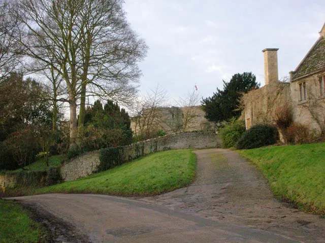
Barnwell Castle
Barnwell Castle — castle in Northamptonshire, England, UK.
 📷 5
📷 5Castles · East of England
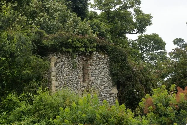
Benington Castle
Benington Castle — Grade I listed castle in East Hertfordshire, England, UK.
 📷 5
📷 5Castles · East of England
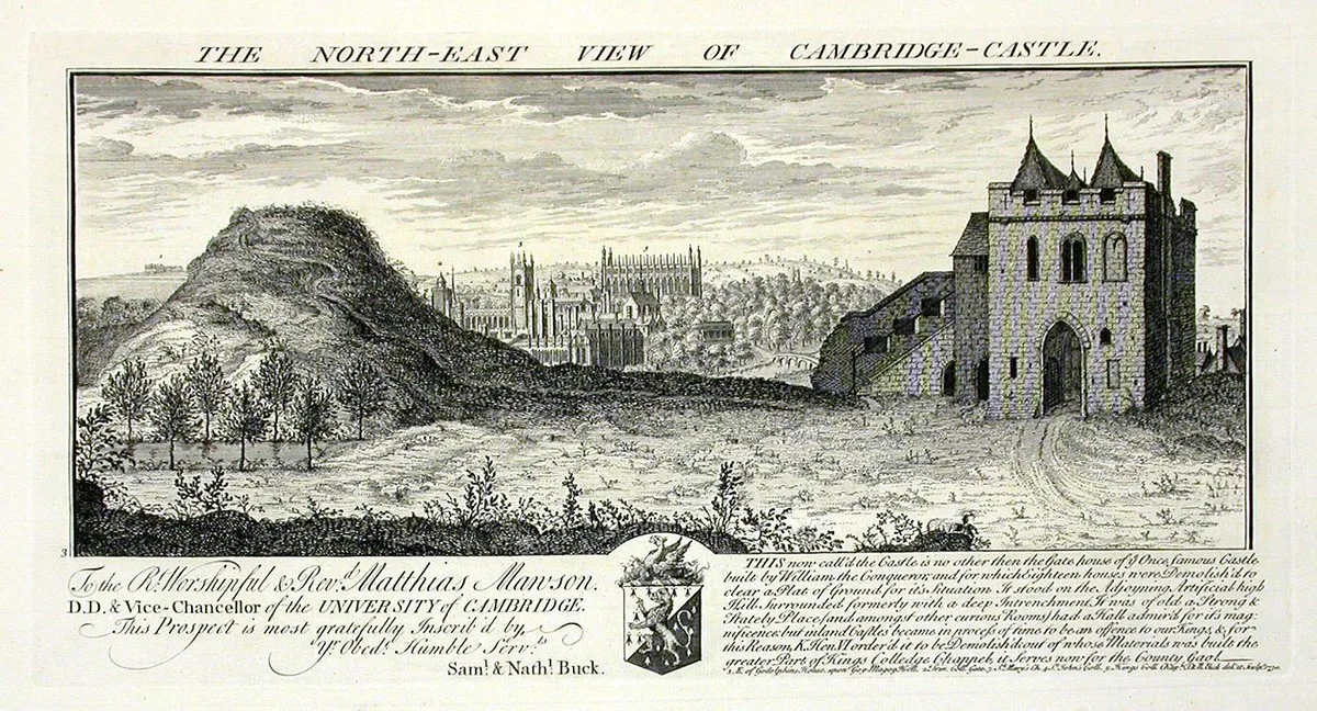
Cambridge Castle
Cambridge Castle — Castle in Cambridge, England.
 📷 5
📷 5Castles · East of England
Camera Obscura
Camera Obscura is a place of interest in the United Kingdom.
Frequently asked questions
- Where is Benefield Castle?
- Benefield Castle is in the West Midlands, United Kingdom (postcode PE8 5AF), in the parish of Benefield.
- What is Benefield Castle?
- Benefield Castle — castle in Northamptonshire, UK.
- How do I get to Benefield Castle?
- The nearest railway station is Corby, about 9.5 km away. Drivers can use postcode PE8 5AF.
- Is Benefield Castle a listed building?
- Benefield Castle is officially recognised as scheduled monument listed.
- Is Benefield Castle a protected site?
- Yes — Benefield Castle is part of the Banhaw, Spring and Blackthorn's Woods SSSI Site of Special Scientific Interest.
- Does Benefield Castle charge admission?
- Benefield Castle typically charges admission. Check the official site for current ticket prices and opening hours.
- How do I get to Benefield Castle?
- Drivers can navigate to postcode PE8 5AF. It sits within the Corby and East Northamptonshire parliamentary constituency.