
Mountains & hills · Central Scotland
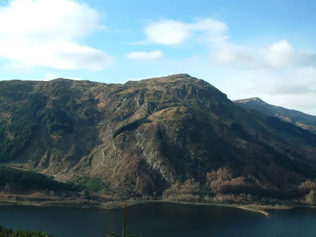
Ben Chonzie
Also known as: Beinn a' Chomhainn, Ben-y Hone
Ben Chonzie — Named summit at 931 m.

Wikimedia Commons contributors — see linked file page for photographer and licence licence

Plan your visit
- Typical visit
- 3 h–8 h
- Best time of year
- Late spring – early autumn (May–Oct)
- Free entry
- Dog-friendly
About
Ben Chonzie is a named summit in the United Kingdom. Also known as: Beinn a' Chomhainn, Ben-y Hone. Wikidata describes it as: "Named summit at 931 m.". Coordinates: 56.4539°, -3.9921°.
Photo gallery
From the Wikipedia article
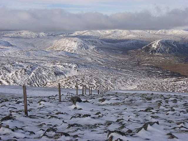
Ben Chonzie or Ben-y-Hone (Scottish Gaelic: Beinn a' Chomhainn, 'mountain of the narrowness', or possibly from Beinn Chòinnich, 'mossy mountain') is a mountain in the Breadalbane region of the Scottish Highlands. It is eleven kilometres northwest of Crieff. It stands at 931 metres (3,054 ft) and is therefore listed as a Munro. It is the highest point of a large area of moorland and rounded hills between Loch Earn and Loch Tay, and with a broad, flat summit and relatively few distinguishing features, it is often regarded as one of Scotland's least interesting Munros. It is most often climbed from Invergeldie (Comrie) to the southwest; however it can also be climbed from the southeast by way of Glen Turret. The latter is longer but presents walkers with a more interesting and scenic climb, having an array of buttresses and cliffs which can be tackled by those who feel brave, or passed by on either side. Mountain hares (Lepus timidus, subspecies Lepus timidus scoticus) can be seen around the plateau area if walkers are quiet and observant. There are also many other animals on the approaches to the Ben, including buzzards, other birds of prey, and frogs and newts in the pools alongside the vehicular track that runs up the eastern aspect of the loch. Deer may be seen on the slopes to the north of the Ben.
Excerpt from Wikipedia under CC BY-SA 4.0. See the source article linked in Sources below.
- Coordinates
- 56.4539, -3.9921
- Address
- Perth and Kinross, Scotland
- Official site
- www.walkhighlands.co.uk
Sources
- osm: n29621195 (ODbL)
- wikipedia: Ben Chonzie (CC BY-SA 4.0)
- commons: Fenceposts, Ben Chonzie - geograph.org.uk - 325190.jpg (CC BY-SA 4.0)
Other places nearby
Loading nearby places…
Nearby
 📷 3
📷 3Natural landmarks · Central Scotland
Ben Chonzie
Ben Chonzie — mountain in Perth and Kinross, Scotland, UK.
 📷 3
📷 3Mountains & hills · Central Scotland
Biorach a' Mheannain
Biorach a' Mheannain — a mountain in scotland-central, United Kingdom.
 📷 3
📷 3Mountains & hills · Central Scotland
A' Chairidh
A' Chairidh — a mountain in scotland-central, United Kingdom.
 📷 5
📷 5Mountains & hills · Central Scotland
Creag Gharbh
Creag Gharbh — mountain in scotland central. Elevation: 630 m.
📷 5Mountains & hills · Central Scotland
Meall na Sèide
Meall na Sèide — mountain in scotland central. Elevation: 757 m.
📷 5Mountains & hills · Central Scotland
Meall Reamhar
Meall Reamhar — mountain in scotland central. Elevation: 557 m.
More mountains in this region
 📷 3
📷 3Mountains & hills · Central Scotland
Abbey Hill
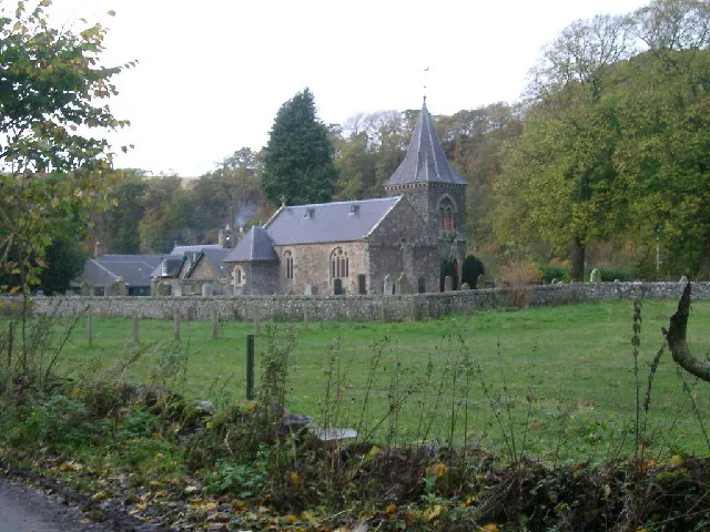
Abbey Hill — Named summit at 278 m.
 📷 3
📷 3Mountains & hills · Central Scotland
Aberlady Bay
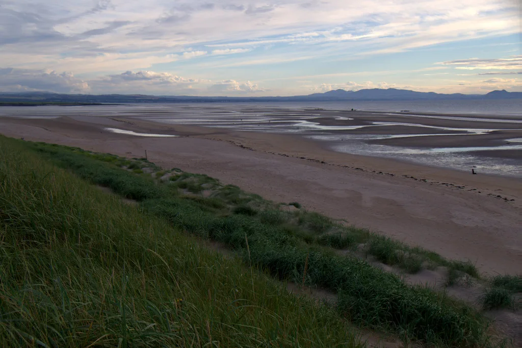
Aberlady Bay — bay on the north coast of East Lothian, Scotland, UK.
 📷 3
📷 3Mountains & hills · Central Scotland
Allermuir Hill
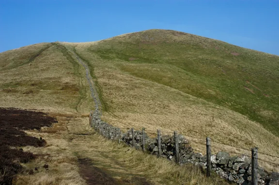
Allermuir Hill — Named summit at 493 m.
 📷 3
📷 3Mountains & hills · Central Scotland
Ardnandave
Ardnandave — Named summit at 715 m.
Frequently asked questions
- Where is Ben Chonzie?
- Ben Chonzie is in central Scotland, United Kingdom.
- What is Ben Chonzie?
- Ben Chonzie — Named summit at 931 m.
- How do I get to Ben Chonzie?
- Its coordinates are 56.4539°, -3.9921°.
- Is Ben Chonzie free to visit?
- Yes, Ben Chonzie is free to enter.