
Reservoirs & lochs · West Midlands
Belvide Reservoir
In or near Donington.
Belvide Reservoir — Canal feeder reservoir and nature reserve in south Staffordshire, England.

Wikimedia Commons contributors — see linked file page for photographer and licence licence

Plan your visit
- Typical visit
- 1 h–2.5 h
- Nearest railway station
- Penkridge · 6.5 km
- Free entry
- Dog-friendly
About
Belvide Reservoir is a reservoir in the United Kingdom. Wikidata describes it as: "Canal feeder reservoir and nature reserve in south Staffordshire, England.". Coordinates: 52.6860°, -2.1930°.
Photo gallery
Official information
Belvide Reservoir is a historic birding site known for its diverse bird life and designated as a Site of Special Scientific Interest. The area features various habitats, including woodland and reed-beds, attracting a rich variety of bird species throughout the year. Access is restricted to members of the West Midland Bird Club, with organized group visits available by prior arrangement.
Protected designations
- Site of Special Scientific Interest: Belvide Reservoir SSSI
Designations sourced from Natural England open data under OGL v3.
From the Wikipedia article
Belvide Reservoir is a reservoir in South Staffordshire, England. It was built in 1833 to supply the Birmingham and Liverpool Junction Canal, and has been managed as a nature reserve since 1977. It has been used to study the effect of water level changes on bird populations.
Excerpt from Wikipedia under CC BY-SA 4.0. See the source article linked in Sources below.
- Coordinates
- 52.6860, -2.1930
- County
- Staffordshire
- District
- South Staffordshire
- Parish
- Brewood and Coven
- Postcode
- ST19 9LX
- Parliamentary constituency
- Stone, Great Wyrley and Penkridge
- Established
- 1833
- Nearest railway station
- Penkridge — 6.5 km
- Official site
- www.westmidlandbirdclub.org.uk
Sources
- wikidata: Q4884890 (CC0)
- wikipedia: Belvide Reservoir (CC BY-SA 4.0)
- commons: Belvide-gazebo.jpg (CC BY-SA 4.0)
Other places nearby

Shropshire Union Canal Number 16 (Broomhall Bridge)
Historic bridges · 0.6 km

Shropshire Union Canal Number 15 (Eskew Bridge)
Historic bridges · 0.6 km

Kiddemore Green
Villages · 1.5 km

Shropshire Union Canal Number 13 (School Bridge)
Historic bridges · 1.6 km

Speedwell Castle
Gardens · 1.6 km

Brewood War Memorial, In The Churchyard Of St Mary The Virgin And St Chad's Church
Memorials & monuments · 1.7 km

Brewood
Museums · 1.7 km

Church of St Mary and St Chad
Historic churches · 1.7 km

Westgate, Forecourt Wall And Gate Piers
Historic houses · 1.8 km

Shropshire Union Canal Lapley Wood Bridge Number 17
Historic bridges · 2.3 km

Shropshire Union Canal Number 11 (Giffard's Cross Bridge)
Historic bridges · 2.3 km

Stretton
Villages · 2.4 km
Nearby
📷 3Historic bridges · West Midlands
Shropshire Union Canal Number 16 (Broomhall Bridge)
Shropshire Union Canal Number 16 (Broomhall Bridge) — Grade II listed building-listed bridge in england-west-midlands, United Kingdom.
📷 3Historic bridges · West Midlands
Shropshire Union Canal Number 15 (Eskew Bridge)
Shropshire Union Canal Number 15 (Eskew Bridge) — Grade II listed building-listed bridge in england-west-midlands, United Kingdom.
📷 5📷 3Historic bridges · West Midlands
Shropshire Union Canal Number 13 (School Bridge)
Shropshire Union Canal Number 13 (School Bridge) — Grade II listed building-listed bridge in england-west-midlands, United Kingdom.
📷 4Gardens · West Midlands
Speedwell Castle
Speedwell Castle — a garden in england-west-midlands, United Kingdom.
📷 3Memorials & monuments · West Midlands
Brewood War Memorial, In The Churchyard Of St Mary The Virgin And St Chad's Church
Brewood War Memorial, In The Churchyard Of St Mary The Virgin And St Chad's Church — Grade II listed building-listed memorial in england-west-midlands, United Kingdom.
Where to eat & stay near Belvide Reservoir
Places to stay
 📷 5
📷 5Caravan parks · West Midlands
Red Lion Farm Caravan Park
Red Lion Farm Caravan Park — a caravan park in england west midlands.
 📷 5
📷 5Campsites · West Midlands
Ted's Caravan and Camp Site
Ted's Caravan and Camp Site — a campsite in england west midlands.
 📷 5
📷 5 📷 5
📷 5 📷 5
📷 5Campsites · West Midlands
Spring Slade Lodge
Spring Slade Lodge — a campsite in england west midlands.
 📷 5
📷 5Hotels · West Midlands
Ramada by Wyndham Park Hall
Ramada by Wyndham Park Hall — a hotel in england west midlands.
Places to eat & drink
 📷 7
📷 7 📷 5
📷 5Historic pubs · West Midlands
Codsall Station
Codsall Station — Historic pub — listed building or notable heritage status.
 📷 7
📷 7Historic pubs · West Midlands
The Littleton Arms
The Littleton Arms in England West Midlands, United Kingdom.
 📷 5
📷 5Historic pubs · West Midlands
Hail to the Ale
Hail to the Ale in England West Midlands, United Kingdom.
 📷 5
📷 5Historic pubs · West Midlands
Crystal Fountain Public House
Crystal Fountain Public House in England West Midlands, United Kingdom.
 📷 6
📷 6Historic pubs · West Midlands
The Clarendon Hotel
The Clarendon Hotel — Historic pub — listed building or notable heritage status.
More places in this region
 📷 3
📷 3Reservoirs & lochs · West Midlands
Blithfield Reservoir
Blithfield Reservoir — reservoir in the United Kingdom.
 📷 3
📷 3Reservoirs & lochs · West Midlands
Blithfield Reservoir Walks
Blithfield Reservoir Walks — a other in england-east-midlands, United Kingdom.
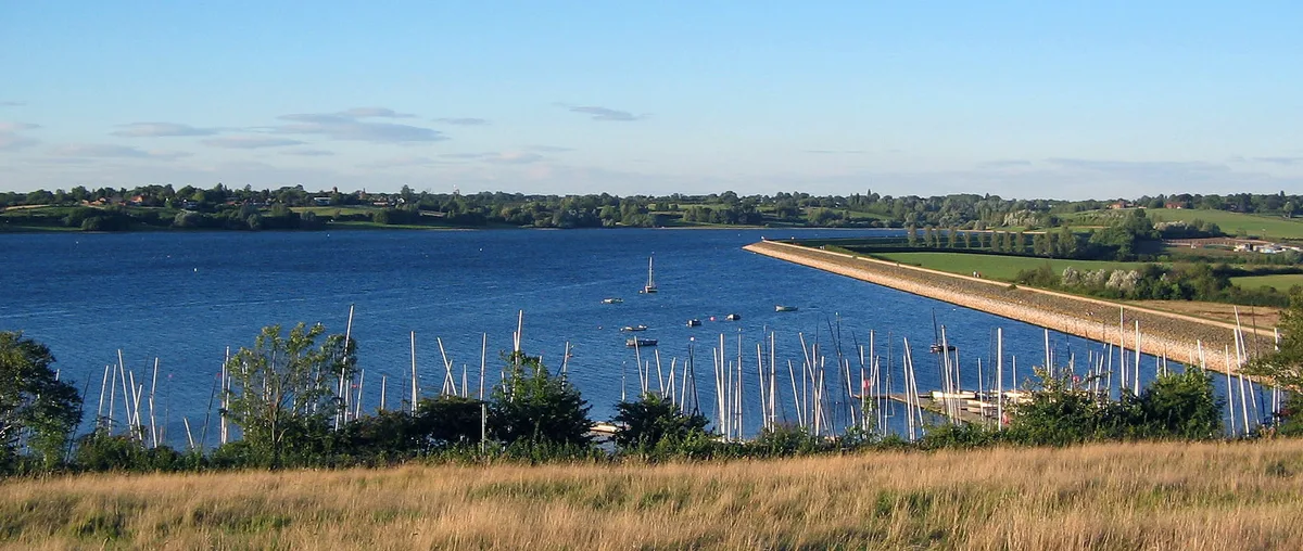 Flagship📷 3
Reservoirs & lochs · West Midlands
Draycote Water
Draycote Water — reservoir in the United Kingdom.
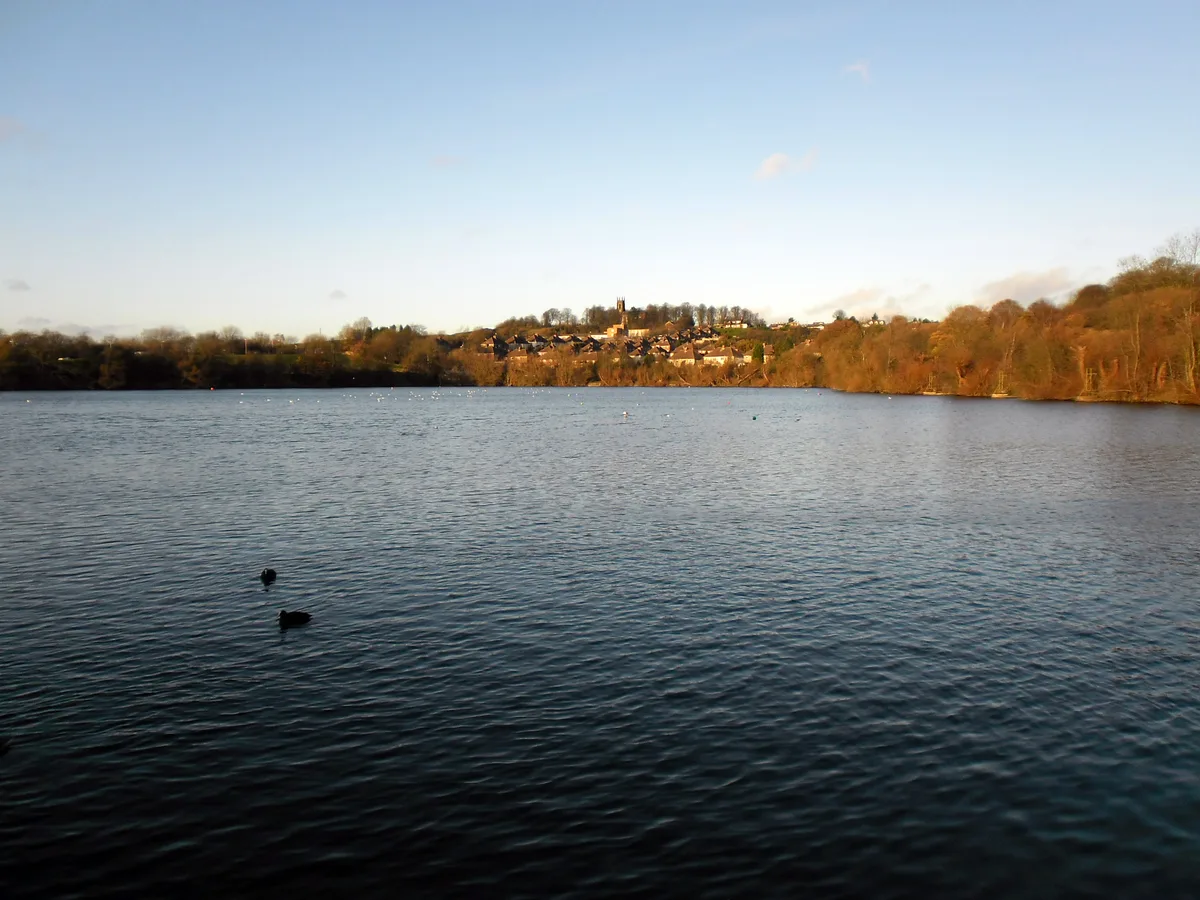 Flagship📷 3
Reservoirs & lochs · West Midlands
Netherton Reservoir
Netherton Reservoir — reservoir in West Midlands, England, UK.
Frequently asked questions
- Where is Belvide Reservoir?
- Belvide Reservoir is in Staffordshire, the West Midlands, United Kingdom (postcode ST19 9LX), in the parish of Brewood and Coven.
- What is Belvide Reservoir?
- Belvide Reservoir — Canal feeder reservoir and nature reserve in south Staffordshire, England.
- How do I get to Belvide Reservoir?
- The nearest railway station is Penkridge, about 6.5 km away. The nearest town is Donington. Drivers can use postcode ST19 9LX.
- When was Belvide Reservoir built?
- Built or established in 1833.
- Is Belvide Reservoir a protected site?
- Yes — Belvide Reservoir is part of the Belvide Reservoir SSSI Site of Special Scientific Interest.
- Is Belvide Reservoir free to visit?
- Yes, Belvide Reservoir is free to enter.
- How do I get to Belvide Reservoir?
- The nearest railway station is Penkridge, about 6.5 km away. Drivers can navigate to postcode ST19 9LX.