
Historic churches · East Midlands
Beltisloe
In or near South Witham.
Beltisloe is a Deanery of the Diocese of Lincoln in England, and a former Wapentake. The Wapentake of Beltisloe was established as an ancient administrative division of the English county of Lincolnsh

N Chadwick — CC BY-SA 2.0 via Wikimedia Commons licence

Plan your visit
- Typical visit
- 30 min–1 h
- Free entry
About
Beltisloe is a Deanery of the Diocese of Lincoln in England, and a former Wapentake. The Wapentake of Beltisloe was established as an ancient administrative division of the English county of Lincolnshire before the Norman Conquest of 1066. In England a wapentake was the division of a shire for administrative, military and judicial purposes under the common law. The term wapentake is of Scandinavian origin and meant the taking of weapons; it later signified the clash of arms by which the people assembled in a local court expressed assent. Danish influence was strong in those English counties where wapentakes existed. The Wapentake of Beltisloe was bounded on the north by Winnibriggs and Threo Wapentake; on the east by Aveland Wapentake; on the south by Ness Wapentake and Rutland and on the west by Grantham soke and Leicestershire. This wapentake contained a number of now abandoned settlements, and in the 19th century contained the market town of Corby Glen and the villages of Basingthorpe, Bitchfield, Burton Coggles, Castle Bytham, Little Bytham, Careby, Creeton, Edenham, Gunby, Irnham, Lavington, Skillington, Stainby, Swayfield, Swinstead, Witham on the Hill, North Witham and South Witham.
Photo gallery
From the Wikipedia article
Beltisloe is a Deanery of the Diocese of Lincoln in England, and a former Wapentake. The Wapentake of Beltisloe was established as an ancient administrative division of the English county of Lincolnshire before the Norman Conquest of 1066. In England a wapentake was the division of a shire for administrative, military and judicial purposes under the common law. The term wapentake is of Scandinavian origin and meant the taking of weapons; it later signified the clash of arms by which the people assembled in a local court expressed assent. Danish influence was strong in those English counties where wapentakes existed. The Wapentake of Beltisloe was bounded on the north by Winnibriggs and Threo Wapentake; on the east by Aveland Wapentake; on the south by Ness Wapentake and Rutland and on the west by Grantham soke and Leicestershire. This wapentake contained a number of now abandoned settlements, and in the 19th century contained the market town of Corby Glen and the villages of Basingthorpe, Bitchfield, Burton Coggles, Castle Bytham, Little Bytham, Careby, Creeton, Edenham, Gunby, Irnham, Lavington, Skillington, Stainby, Swayfield, Swinstead, Witham on the Hill, North Witham and South Witham.
Excerpt from Wikipedia under CC BY-SA 4.0. See the source article linked in Sources below.
- Coordinates
- 52.8100, -0.5500
- County
- Lincolnshire
- District
- South Kesteven
- Parish
- Corby Glen
- Postcode
- NG33 4LD
- Parliamentary constituency
- Rutland and Stamford
Sources
- wikipedia: Beltisloe (CC BY-SA 4.0)
Other places nearby

Burton Coggles
Historic churches · 1.2 km

Corby Glen War Memorial
Memorials & monuments · 1.9 km

27, High Street
Historic houses · 2.1 km

No.8 and gate and railings
Historic houses · 2.1 km

Fighting Cocks Inn
Historic pubs · 2.1 km

7, Market Place
Historic houses · 2.1 km

The Post Office
Historic houses · 2.1 km

Corby Glen market cross
Historic houses · 2.1 km

4, Market Place
Historic houses · 2.1 km

2, Church Street
Historic houses · 2.1 km
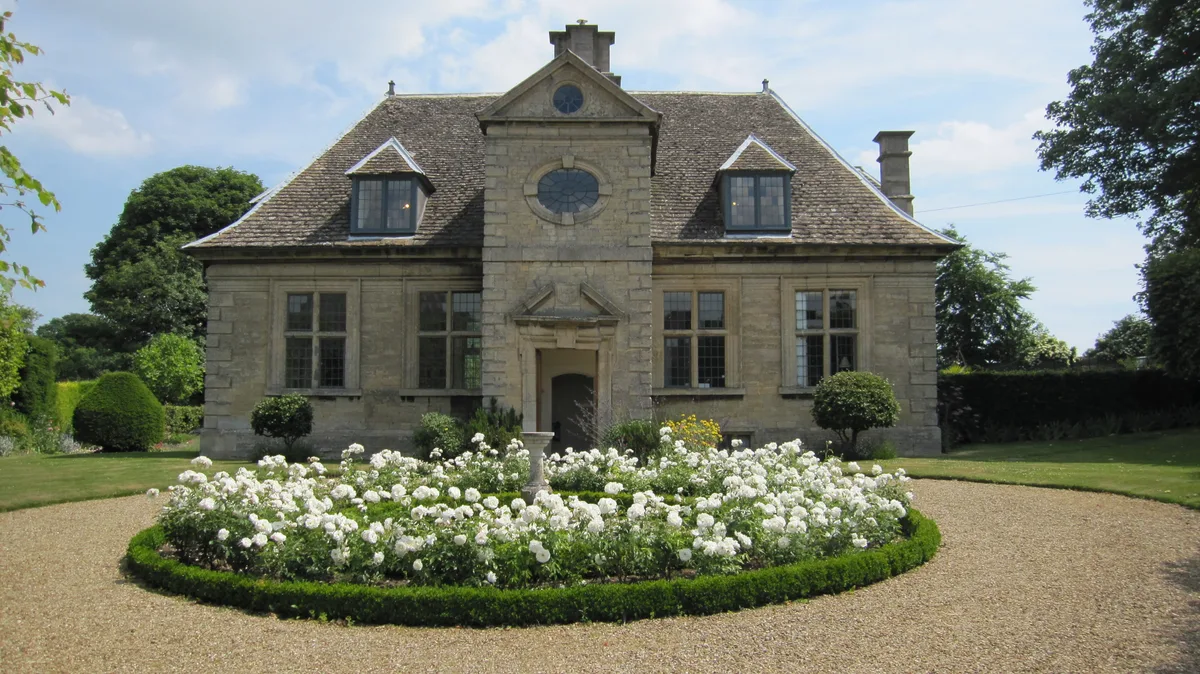
Willoughby Memorial Gallery
Galleries · 2.2 km

Corby Glen Motte
Castles · 2.2 km
Nearby
📷 5Historic churches · East Midlands
Burton Coggles
Burton Coggles — a church in england-east-midlands, United Kingdom.
📷 3Memorials & monuments · East Midlands
Corby Glen War Memorial
Corby Glen War Memorial — Grade II listed building-listed memorial in england-east-midlands, United Kingdom.
📷 3Historic houses · East Midlands
27, High Street
27, High Street — Grade II listed house in Corby Glen, South Kesteven, Lincolnshire, England, UK.
📷 3Historic houses · East Midlands
No.8 and gate and railings
No.8 and gate and railings — Grade II listed house in Corby Glen, South Kesteven, Lincolnshire, England, UK.
📷 5📷 3Historic houses · East Midlands
7, Market Place
7, Market Place — Grade II listed house in Corby Glen, South Kesteven, Lincolnshire, England, UK.
Where to eat & stay near Beltisloe
Places to stay
 📷 5
📷 5Caravan parks · East Midlands
Rutland Caravan and Camping
Rutland Caravan and Camping — a caravan park in england east midlands.
 📷 7
📷 7Hotels · East Midlands
The Angel Hotel
The Angel Hotel — a hotel in england east midlands.
 📷 5
📷 5Caravan parks · East Midlands
Wishing Well Caravan Site
Wishing Well Caravan Site — a caravan park in england east midlands.
 📷 5
📷 5Caravan parks · East Midlands
Cresslands
Cresslands — a caravan park in england east midlands.
 📷 5
📷 5Caravan parks · East Midlands
Road End Farm Caravan Site
Road End Farm Caravan Site — a caravan park in england west midlands.
 📷 5
📷 5Places to eat & drink
📷 5 📷 5
📷 5 📷 5
📷 5 📷 5
📷 5 📷 5
📷 5Historic pubs · East Midlands
Three Horse Shoes Public House
Three Horse Shoes Public House in England East, United Kingdom.
 📷 5
📷 5More places in this region
 📷 5
📷 5Historic churches · East Midlands
All Saints' Church, Stamford
All Saints' Church, Stamford — church in Stamford, Lincolnshire, England, UK.
 📷 5
📷 5Historic churches · East Midlands
Church of All Saints
Church of All Saints — church in Little Casterton, Rutland, United Kingdom.
 📷 5
📷 5Historic churches · East Midlands
Church of All Saints
Church of All Saints — church in Fenland, UK.
 📷 5
📷 5Historic churches · East Midlands
Church of St Leonard
Church of St Leonard — church in Fenland, UK.
Frequently asked questions
- Where is Beltisloe?
- Beltisloe is in Lincolnshire, the East Midlands, United Kingdom (postcode NG33 4LD), in the parish of Corby Glen.
- What is Beltisloe?
- Beltisloe is a Deanery of the Diocese of Lincoln in England, and a former Wapentake. The Wapentake of Beltisloe was established as an ancient administrative division of the English county of Lincolnsh
- How do I get to Beltisloe?
- Drivers can use postcode NG33 4LD.
- Is Beltisloe free to visit?
- Yes, Beltisloe is free to enter.
- How do I get to Beltisloe?
- Drivers can navigate to postcode NG33 4LD. It sits within the Rutland and Stamford parliamentary constituency.