
Mountains & hills · Central Scotland
Beinn Narnain
Also known as: Beinn Nàrnain
In or near Tarbet.
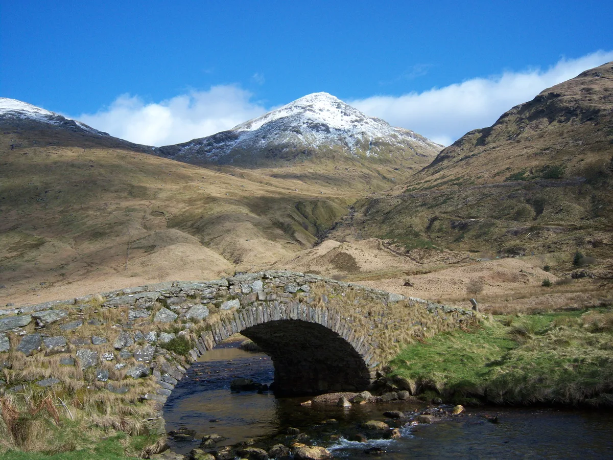
Beinn Narnain — Named summit at 926 m.

Wikimedia Commons contributors — see linked file page for photographer and licence licence

Plan your visit
- Typical visit
- 3 h–8 h
- Best time of year
- Late spring – early autumn (May–Oct)
- Nearest railway station
- Arrochar and Tarbet · 4.6 km
- Free entry
- Dog-friendly
Getting there & planning your visit
To visit Beinn Narnain in the Scottish Highlands, the nearest railway station is Arrochar and Tarbet, which is 4.6 km away. Entry to the mountain is free.
About
Beinn Narnain is a named summit in the United Kingdom. Also known as: Beinn Nàrnain. Wikidata describes it as: "Named summit at 926 m.". Coordinates: 56.2215°, -4.7894°.
Photo gallery
Official information
Beinn Narnain is a rocky mountain located in the Arrochar Alps, often chosen as a starting point for those tackling Munros. It features some scrambling and several false summits, making it a challenging yet rewarding hike for visitors.
From the Wikipedia article
Beinn Narnain (sometimes anglicised as Ben Narnain) is a mountain in the southern Highlands of Scotland, near Arrochar. It forms part of a group of hills known (unofficially) as the Arrochar Alps, and is a Munro. The name Beinn Narnain means "hill of notches", and describes the mountain's notched profile. Beinn Narnain is usually climbed from Succoth at the head of Loch Long. The most commonly used route starts by climbing directly up the hillside, following a line of concrete blocks that were originally supports for a cable railway used during the construction of watercourse diversions forming part of the Loch Sloy hydro-electric scheme (Until the construction of new path, this was also the route towards The Cobbler). At one point the path crosses a level track, and one must continue by climbing some exposed rock immediately opposite – this appears to be part of the stream bed and not the path. Where the concrete blocks cease, the path continues up Beinn Narnain's craggy south ridge. There are several mild scrambling sections, which provide an enjoyable experience for the casual walker. The route bypasses some impressive and, when shrouded in mist at least, apparently almost impassable crags – "The Spearhead" – by means of a steep gully immediately before the summit. The final stages of the climb include some mild exposure, but this should not intimidate a hillwalker of even limited experience. Beinn Narnain's northern ridge drops down to the Bealach a' Mhàim, a three-sided bealach with other ridges leading to The Cobbler and Beinn Ìme; an ascent of Beinn Narnain may thus easily be extended to give a longer day on the Arrochar Alps.
Excerpt from Wikipedia under CC BY-SA 4.0. See the source article linked in Sources below.
- Coordinates
- 56.2215, -4.7894
- Address
- Arrochar Alps, Argyll and Bute, Grampian Mountains, Scotland
- Nearest railway station
- Arrochar and Tarbet — 4.6 km
- Official site
- www.walkhighlands.co.uk
Sources
- osm: n258819149 (ODbL)
- wikipedia: Beinn Narnain (CC BY-SA 4.0)
- commons: Beinn Narnain from Cruach nam Miseag - geograph.org.uk - 1457518.jpg (CC BY-SA 4.0)
Other places nearby
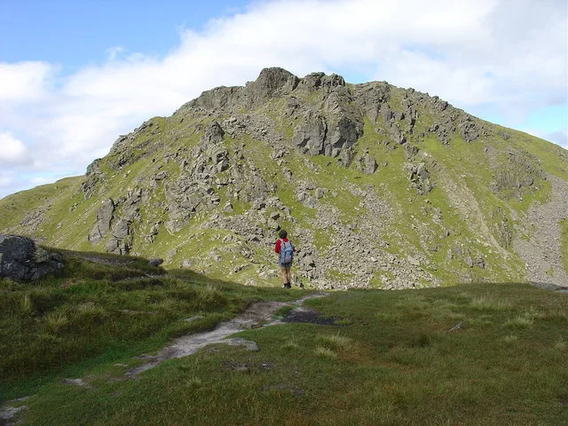
Beinn Narnain
Natural landmarks · 0.1 km

The Cobbler North Peak
Mountains & hills · 1.3 km

Arthur's Seat
Mountains & hills · 1.5 km

The Cobbler South Peak
Mountains & hills · 1.5 km
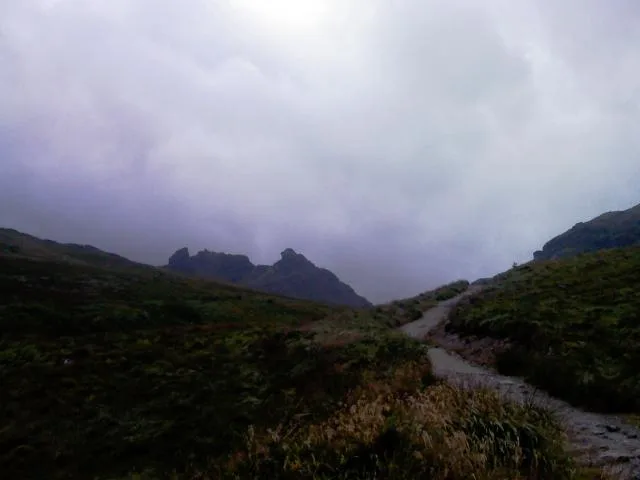
Ben Arthur (The Cobbler)
Mountains & hills · 1.5 km

Ben Arthur
Mountains & hills · 1.5 km

An t-Sron
Mountains & hills · 1.6 km
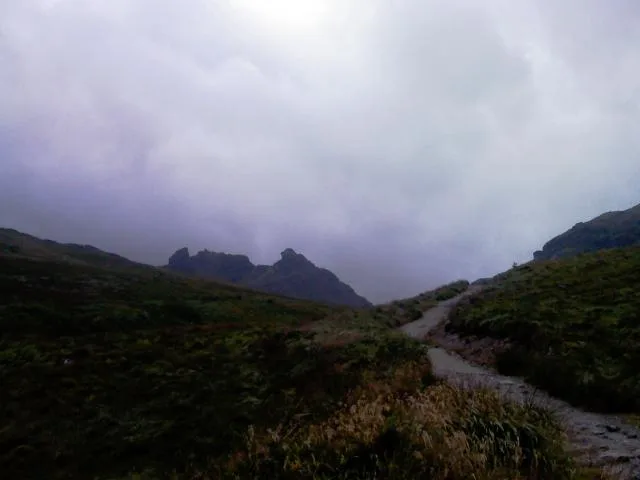
The Cobbler
Natural landmarks · 1.7 km

A' Chrois
Mountains & hills · 1.9 km
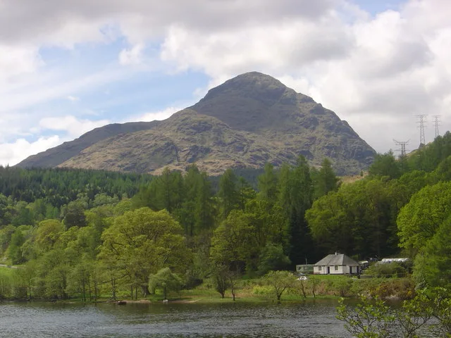
A' Chrois
Natural landmarks · 2.0 km

Arrochar Alps
National parks · 2.3 km
Beinn Ìme
Mountains & hills · 2.4 km
Nearby
📷 5Natural landmarks · Central Scotland
Beinn Narnain
Beinn Narnain — 927m high mountain in Argyll and Bute, Scotland, UK.
📷 3Mountains & hills · Central Scotland
The Cobbler North Peak
The Cobbler North Peak — a mountain in scotland-highlands, United Kingdom.
📷 5Mountains & hills · Central Scotland
Arthur's Seat
Arthur's Seat — mountain in scotland highlands. Elevation: 858 m.
📷 3Mountains & hills · Central Scotland
The Cobbler South Peak
The Cobbler South Peak — a mountain in scotland-highlands, United Kingdom.
📷 5Mountains & hills · Central Scotland
Ben Arthur (The Cobbler)
Ben Arthur (The Cobbler) — Named summit at 884 m.
📷 5Mountains & hills · Central Scotland
Ben Arthur
Ben Arthur — a hill or mountain in scotland highlands.
Where to eat & stay near Beinn Narnain
Places to stay
 📷 5
📷 5Caravan parks · Central Scotland
Honeymoon Bridge
Honeymoon Bridge — a caravan park in scotland highlands.
 📷 5
📷 5Caravan parks · Central Scotland
Stay the Night Ardgartan
Stay the Night Ardgartan — a caravan park in scotland highlands.
 📷 5
📷 5Campsites · Central Scotland
MacTavish Campsite
MacTavish Campsite — a campsite in scotland highlands.
 📷 5
📷 5 📷 3
📷 3Campsites · Central Scotland
Coilessan camping permit area March-September
Coilessan camping permit area March-September — a campsite in scotland highlands.
 📷 7
📷 7Hotels · Central Scotland
Tarbet Hotel
Tarbet Hotel — a hotel in scotland highlands.
Places to eat & drink
 📷 5
📷 5Historic pubs · Central Scotland
The Drovers Inn
The Drovers Inn — Historic pub — listed building or notable heritage status.
 📷 7
📷 7Historic pubs · Central Scotland
Ardencaple Hotel Including Former Stables, Rhu Road Lower, Rhu
Ardencaple Hotel Including Former Stables, Rhu Road Lower, Rhu in Scotland Central, United Kingdom.
 📷 3
📷 3Historic pubs · Central Scotland
Ardbrecknish House
Ardbrecknish House — Historic pub — listed building or notable heritage status.
More mountains in this region
📷 3 📷 3
📷 3 📷 3
📷 3Mountains & hills · Central Scotland
An Caisteal
An Caisteal — Named summit at 995 m.
 📷 5
📷 5Frequently asked questions
- Where is Beinn Narnain?
- Beinn Narnain is in central Scotland, United Kingdom.
- What is Beinn Narnain?
- Beinn Narnain — Named summit at 926 m.
- How do I get to Beinn Narnain?
- The nearest railway station is Arrochar and Tarbet, about 4.6 km away. The nearest town is Tarbet. Its coordinates are 56.2215°, -4.7894°.
- Is Beinn Narnain free to visit?
- Yes, Beinn Narnain is free to enter.
- How do I get to Beinn Narnain?
- The nearest railway station is Arrochar and Tarbet, about 4.6 km away.