Mountains & hills · Scottish Highlands
Beinn Fhada
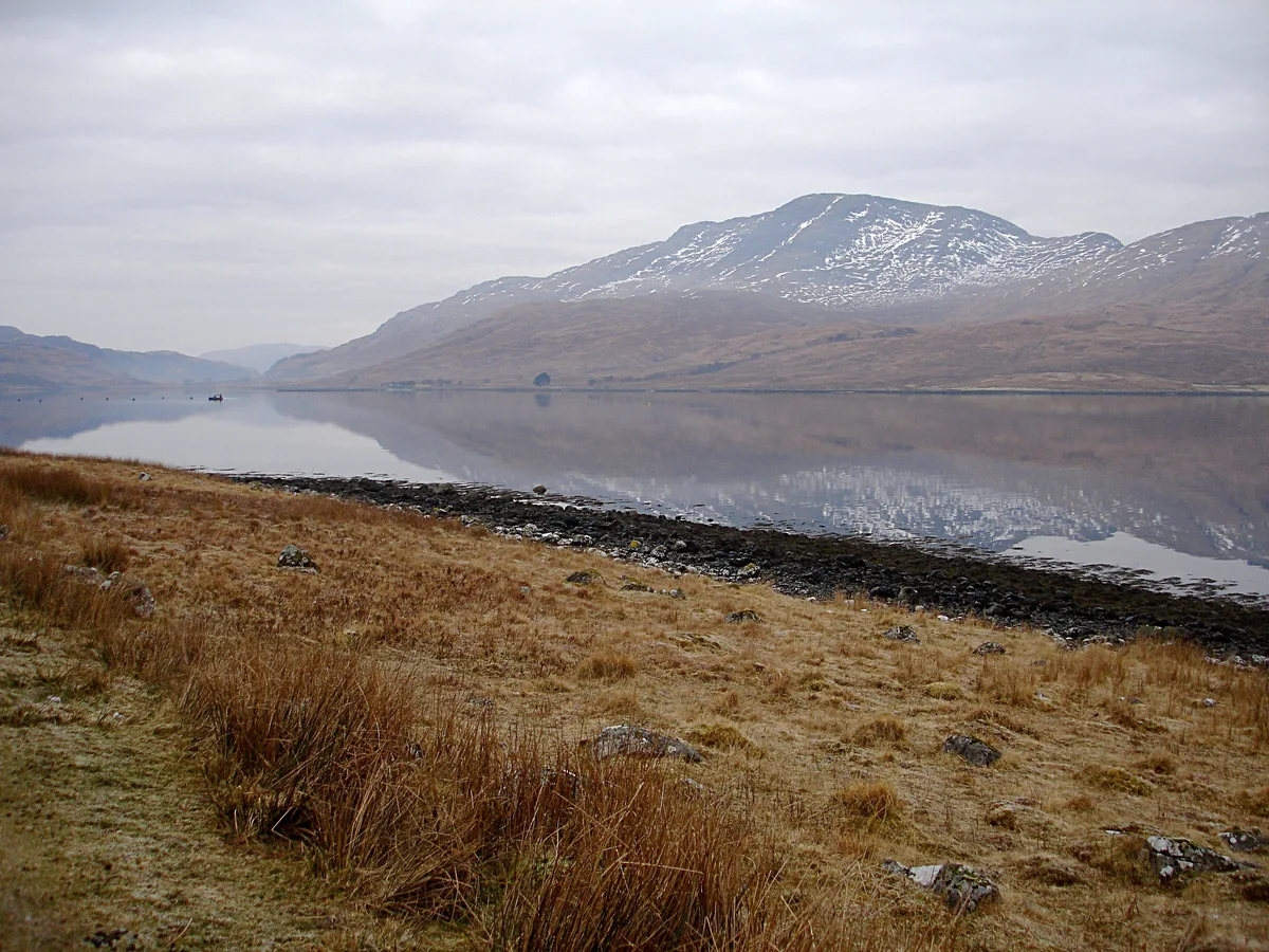
Beinn Fhada — mountain in scotland highlands. Elevation: 501 m.

Trevor Littlewood — CC BY-SA 2.0 via Wikimedia Commons licence
Plan your visit
- Typical visit
- 3 h–8 h
- Best time of year
- Late spring – early autumn (May–Oct)
About
Beinn Fhada is a mountain located in scotland highlands. Elevation: 501 m. A named British peak recorded in OpenStreetMap. Peaks are typically named on Ordnance Survey 1:50k mapping.
Photo gallery
Place summary
Beinn Fhada is a mountain located in the Scottish Highlands. Known for its distinctive shape, it offers various hiking opportunities for outdoor enthusiasts. The area is characterised by rugged terrain and stunning natural scenery, typical of the Highlands. Visitors can expect a challenging ascent and panoramic views from the summit.
AI-generated from the structured facts on this page (operator, designation, listing, era). Not a substitute for visiting.
- Coordinates
- 56.3951, -5.8268
Sources
- osm: n2845713065 (ODbL)
Other places nearby
Loading nearby places…
Nearby
 📷 5
📷 5Mountains & hills · Scottish Highlands
Beinn Fhada
Beinn Fhada — a hill or mountain in scotland highlands.
 📷 3
📷 3Mountains & hills · Scottish Highlands
Creach Beinn
Creach Beinn — Named summit at 698 m.
📷 4Mountains & hills · Scottish Highlands
Glas Bheinn
Glas Bheinn — mountain in scotland highlands. Elevation: 492 m.
📷 4Mountains & hills · Scottish Highlands
Glas Bheinn
Glas Bheinn — a hill or mountain in scotland highlands.
 📷 5
📷 5Gorges · Scottish Highlands
Glen More
Glen More — a gorge in scotland highlands.
 📷 5
📷 5Historic churches · Scottish Highlands
Kinlochspelve Church, Mull
Kinlochspelve Church, Mull — category C listed building-listed church in scotland-highlands, United Kingdom.
Where to eat & stay near Beinn Fhada
Places to stay
 📷 5
📷 5Hostels · Scottish Highlands
Craignure Bunkhouse
Craignure Bunkhouse — a hostel in scotland highlands.
 📷 5
📷 5Campsites · Scottish Highlands
Shieling Holidays
Shieling Holidays — a campsite in scotland highlands.
 📷 5
📷 5Campsites · Scottish Highlands
Port nan Gael
Port nan Gael — a campsite in scotland highlands.
 📷 5
📷 5Campsites · Scottish Highlands
Salen Bay Campsite
Salen Bay Campsite — a campsite in scotland highlands.
 📷 5
📷 5Hostels · Scottish Highlands
Highland Basecamp
Highland Basecamp — a hostel in scotland highlands.
 📷 5
📷 5Campsites · Scottish Highlands
Killiechronan Campsite
Killiechronan Campsite — a campsite in scotland highlands.
Places to eat & drink
 📷 3
📷 3Historic pubs · Scottish Highlands
Tigh an Truish Inn
Tigh an Truish Inn — Historic pub — listed building or notable heritage status.
 📷 5
📷 5Historic pubs · Central Scotland
Oban Inn
Oban Inn in Scotland Central, United Kingdom.
 📷 5
📷 5Historic pubs · Central Scotland
Caledonian Hotel, George Street, Oban
Caledonian Hotel, George Street, Oban in Scotland Central, United Kingdom.
 📷 5
📷 5Historic pubs · Central Scotland
King's Arms Flats, 28 George Street, Oban
King's Arms Flats, 28 George Street, Oban in Scotland Central, United Kingdom.
 📷 5
📷 5Restaurants · Scottish Highlands
The Boathouse
The Boathouse — a restaurant in scotland highlands.
More mountains in this region
 📷 3
📷 3Mountains & hills · Scottish Highlands
A' Bhuidheanach Bheag
A' Bhuidheanach Bheag — Named summit at 936 m.
 📷 3
📷 3Mountains & hills · Scottish Highlands
A' Chailleach
A' Chailleach — Named summit at 997 m.
 📷 3
📷 3Mountains & hills · Scottish Highlands
A' Chailleach
A' Chailleach — Named summit at 930 m.
 📷 3
📷 3Mountains & hills · Scottish Highlands
A' Chaoirnich
A' Chaoirnich — Named summit at 875 m.
Frequently asked questions
- Where is Beinn Fhada?
- Beinn Fhada is in the Scottish Highlands, United Kingdom.
- What is Beinn Fhada?
- Beinn Fhada — mountain in scotland highlands. Elevation: 501 m.
- How do I get to Beinn Fhada?
- Its coordinates are 56.3951°, -5.8268°.