
Historic bridges · East Midlands
Bawtry Bridge
In or near Austerfield.
Bawtry Bridge — Grade II listed building-listed bridge in england-east-midlands, United Kingdom.

Adrian Dust — CC BY-SA 2.0 via Wikimedia Commons licence

Plan your visit
- Typical visit
- 15 min–30 min
- Free entry
- Dog-friendly
About
Bawtry Bridge is a Grade II listed building-listed bridge in england-east-midlands, United Kingdom, registered on the National Heritage List for England (NHLE entry 1314826). Listed status protects buildings and structures of special architectural or historic interest. See the linked Wikipedia article for further details.
Photo gallery
Heritage listing
Details SK69SE 10/16 27 November 1984 BAWTRY GAINSBOROUGH ROAD Bawtry Bridge II Bridge. 1810; builder Mr. Flavel of Wetherby (Peck, p 13); widened 1940. Rock-faced gritstone voussoirs; horizontally-tooled magnesian limestone walling. 3 segmental arches with projecting keystones; the central arch larger and flanked by triangular cutwaters; the outer arches flanked by buttresses. Both cut waters and buttresses rise to the parapet as projecting piers linked by a cambered band which continues across wing walls terminating in cylindrical piers set on square bases. Domed parapet copings. South side, dated 1940, is the re-used facade of 1810; north parapet, facing road, is inscribed Y/N denoting the county boundary. Built for £3,000 on a foundation of 144 piles overlain by 2 thicknesses of planks. Partly in the parish of Scaftworth in the County of Nottinghamshire. W. Peck, Bawtry and Thorne, 1813. Listing NGR: SK 65586 92669 Legacy The contents of this record have been generated from a legacy data system. Legacy System number: 334715 Legacy System: LBS
From the Historic England List Entry under OGL v3.
Place summary
Bawtry Bridge is a Grade II listed bridge located in the East Midlands. It is recognised for its architectural significance and historical value.
AI-generated from the structured facts on this page (operator, designation, listing, era). Not a substitute for visiting.
- Coordinates
- 53.4267, -1.0143
- District
- Doncaster
- Parish
- Bawtry
- Postcode
- DN10 6HN
- Parliamentary constituency
- Doncaster East and the Isle of Axholme
- Established
- 1810
Sources
- wikidata: Q26532407 (CC0)
Other places nearby

Bawtry
Museums · 0.2 km

Bawtry Viaduct
Historic bridges · 0.3 km
.jpg?width=1200)
Bawtry Hall
Historic houses · 0.6 km

Scaftworth
Villages · 1.3 km

Austerfield
Towns & cities · 1.8 km

Scrooby
Towns & cities · 1.9 km

Scrooby War Memorial
Memorials & monuments · 1.9 km
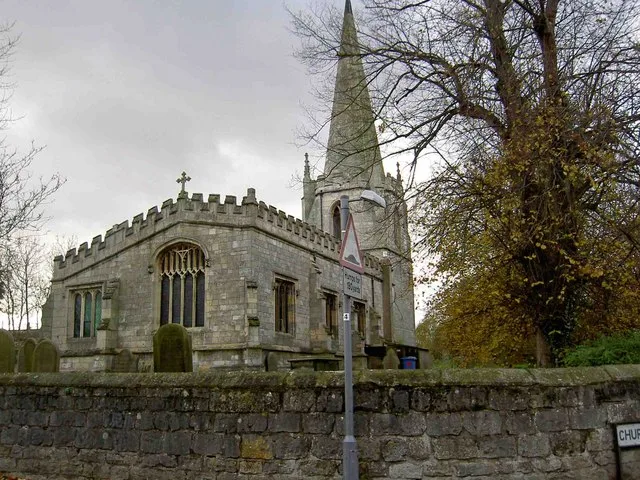
St Wilfrid's Church, Scrooby
Historic churches · 2.0 km

Pilgrim Fathers Camping Site
Campsites · 2.1 km

Harworth & Bircotes Village Sign
Public art & sculpture · 2.3 km

Marshall's Caravan Park
Caravan parks · 2.8 km

Plumtree Caravan Park
Caravan parks · 2.9 km
Nearby
📷 5Museums · East Midlands
Bawtry
Bawtry (/ˈbɔtrɪ/) is a market town and civil parish in the City of Doncaster in South Yorkshire, England. It lies 8 miles (13 km) south-east of Doncaster, 10 miles (16 km) west of Gainsborough and 8 m
📷 3Historic bridges · East Midlands
Bawtry Viaduct
Bawtry Viaduct is a historic bridge in the United Kingdom.
📷 3📷 5Flagship📷 4Towns & cities · East Midlands
Austerfield
Austerfield — village and civil parish in South Yorkshire, England, UK.
📷 5Towns & cities · East Midlands
Scrooby
Scrooby — village in Nottinghamshire, England, UK.
Where to eat & stay near Bawtry Bridge
Places to stay
📷 5Campsites · East Midlands
Pilgrim Fathers Camping Site
Pilgrim Fathers Camping Site — a campsite in england east midlands.
📷 5Caravan parks · East Midlands
Marshall's Caravan Park
Marshall's Caravan Park — a caravan park in england east midlands.
📷 5Caravan parks · East Midlands
Plumtree Caravan Park
Plumtree Caravan Park — a caravan park in england east midlands.
 📷 5
📷 5Campsites · East Midlands
Camp Lion Yorkshire Wildlife Park
Camp Lion Yorkshire Wildlife Park — a campsite in england east midlands.
 📷 5
📷 5Campsites · East Midlands
White House Farm Camping and Caravanning
White House Farm Camping and Caravanning — a campsite in england east midlands.
 📷 5
📷 5Places to eat & drink
 📷 5
📷 5Historic pubs · East Midlands
The Red Hart Hotel
The Red Hart Hotel in England Yorkshire, United Kingdom.
 📷 7
📷 7Restaurants · East Midlands
Miller & Carter
Miller & Carter — a restaurant in england east midlands. Cuisine: steak. Brand: Miller & Carter.
 📷 5
📷 5Historic pubs · East Midlands
Newcastle Arms Public House
Newcastle Arms Public House in England Yorkshire, United Kingdom.
 📷 7
📷 7Historic pubs · East Midlands
Black Boy Public House
Black Boy Public House in England Yorkshire, United Kingdom.
 📷 5
📷 5 📷 5
📷 5Historic pubs · East Midlands
New Inn Public House
New Inn Public House in England Yorkshire, United Kingdom.
More bridges in this region
 📷 5
📷 5Historic bridges · East Midlands
Mill Race Bridge To Market Deeping Mill
Mill Race Bridge To Market Deeping Mill — Grade II listed building-listed bridge in england-london, United Kingdom.
 📷 5
📷 5Historic bridges · East Midlands
Bridge Over West Glen River
Bridge Over West Glen River — Grade II listed building-listed bridge in england-london, United Kingdom.
 📷 5
📷 5Historic bridges · East Midlands
Bridge And Sluices
Bridge And Sluices — Grade II listed building-listed bridge in england-london, United Kingdom.
 📷 5
📷 5Historic bridges · East Midlands
Bridge Over River Gwash
Bridge Over River Gwash — Grade II listed building-listed bridge in england-london, United Kingdom.
Frequently asked questions
- Where is Bawtry Bridge?
- Bawtry Bridge is in the East Midlands, United Kingdom (postcode DN10 6HN), in the parish of Bawtry.
- What is Bawtry Bridge?
- Bawtry Bridge — Grade II listed building-listed bridge in england-east-midlands, United Kingdom.
- How do I get to Bawtry Bridge?
- Drivers can use postcode DN10 6HN.
- When was Bawtry Bridge built?
- Built or established in 1810.
- Is Bawtry Bridge a listed building?
- Bawtry Bridge is officially recognised as Grade II listed building listed.
- Is Bawtry Bridge free to visit?
- Yes, Bawtry Bridge is free to enter.
- How do I get to Bawtry Bridge?
- Drivers can navigate to postcode DN10 6HN. It sits within the Doncaster East and the Isle of Axholme parliamentary constituency.