
Historic churches · North West England
Barlow Moor
In or near Manchester.
Barlow Moor is an area of Manchester, England. It was originally an area of moorland between Didsbury and Chorlton-cum-Hardy and was named after the Barlow family of Barlow Hall. Barlow Moor Road runs

Mike Faherty — CC BY-SA 2.0 via Wikimedia Commons licence

Plan your visit
- Typical visit
- 30 min–1 h
- Nearest railway station
- Burnage · 3.1 km
- Free entry
Getting there & planning your visit
To visit Barlow Moor, the nearest railway station is Burnage, located 3.1 km away. Entry to the church is free, and the postcode for sat-nav is M21 7GL.
About
Barlow Moor is an area of Manchester, England. It was originally an area of moorland between Didsbury and Chorlton-cum-Hardy and was named after the Barlow family of Barlow Hall. Barlow Moor Road runs through the area and connects to Wilmslow Road at the southern end and Manchester Road at the northern end. Southern Cemetery and Chorlton Park are landmarks on the route. Immediately adjacent to the northwest corner of the cemetery, also on Barlow Moor Road, is the Manchester Crematorium which opened in 1892, the second in the United Kingdom. The architects were Steinthal and Solomons who chose to revive the Lombard-Romanesque style. Another notable building is the Chorlton Park Apartments, 2002. During the English Civil War, Prince Rupert camped on Barlow Moor, halfway between two strategic crossing points of the River Mersey. Prince Charles Edward Stuart, 'Bonnie Prince Charlie', camped here on his way to, and retreat from, Derby in the Rebellion of 1745. The area has been largely in Chorlton Park ward of the City of Manchester since 1998; previously there was a Barlow Moor ward. John Leech former MP for Manchester Withington has been a City councillor for both these wards; he was succeeded as councillor for Chorlton Park by Bernie Ryan. The Roman Catholic church of St Ambrose, Princess Road, was built in 1958 to the designs of architects Reynolds & Stone. The dedication to St Ambrose of Milan was chosen because St Ambrose Barlow's birthplace was in the parish. The church of
Photo gallery
From the Wikipedia article
Barlow Moor is an area of Manchester, England. It was originally an area of moorland between Didsbury and Chorlton-cum-Hardy and was named after the Barlow family of Barlow Hall. Barlow Moor Road runs through the area and connects to Wilmslow Road at the southern end and Manchester Road at the northern end. Southern Cemetery and Chorlton Park are landmarks on the route. Immediately adjacent to the northwest corner of the cemetery, also on Barlow Moor Road, is the Manchester Crematorium which opened in 1892, the second in the United Kingdom. The architects were Steinthal and Solomons who chose to revive the Lombard-Romanesque style. Another notable building is the Chorlton Park Apartments, 2002. During the English Civil War, Prince Rupert camped on Barlow Moor, halfway between two strategic crossing points of the River Mersey. Prince Charles Edward Stuart, 'Bonnie Prince Charlie', camped here on his way to, and retreat from, Derby in the Rebellion of 1745. The area has been largely in Chorlton Park ward of the City of Manchester since 1998; previously there was a Barlow Moor ward. John Leech former MP for Manchester Withington has been a City councillor for both these wards; he was succeeded as councillor for Chorlton Park by Bernie Ryan. The Roman Catholic church of St Ambrose, Princess Road, was built in 1958 to the designs of architects Reynolds & Stone. The dedication to St Ambrose of Milan was chosen because St Ambrose Barlow's birthplace was in the parish. The church of St Barnabas (opened 1951) in Hurstville Road is an Anglican chapel-of-ease dependent on St Clement's Church and serves the Barlow Moor estate and south Chorlton.
Excerpt from Wikipedia under CC BY-SA 4.0. See the source article linked in Sources below.
- Coordinates
- 53.4300, -2.2600
- District
- Manchester
- Parish
- Manchester, unparished area
- Postcode
- M21 7GL
- Parliamentary constituency
- Manchester Withington
- Nearest railway station
- Burnage — 3.1 km
Sources
- wikipedia: Barlow Moor (CC BY-SA 4.0)
Other places nearby

Church of England Chapel In Manchester Southern Cemetery
Chapels · 0.1 km

Southern Cemetery
Cemeteries · 0.1 km

Roman Catholic Chapel In Manchester Southern Cemetery
Chapels · 0.3 km

Hough End Hall Academy
Historic churches · 0.7 km
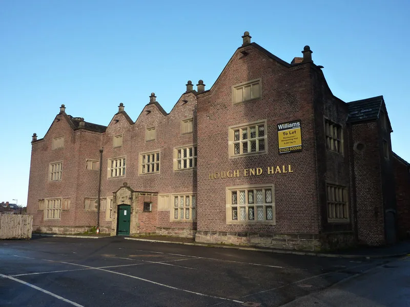
Hough End Hall
Stately homes · 0.7 km
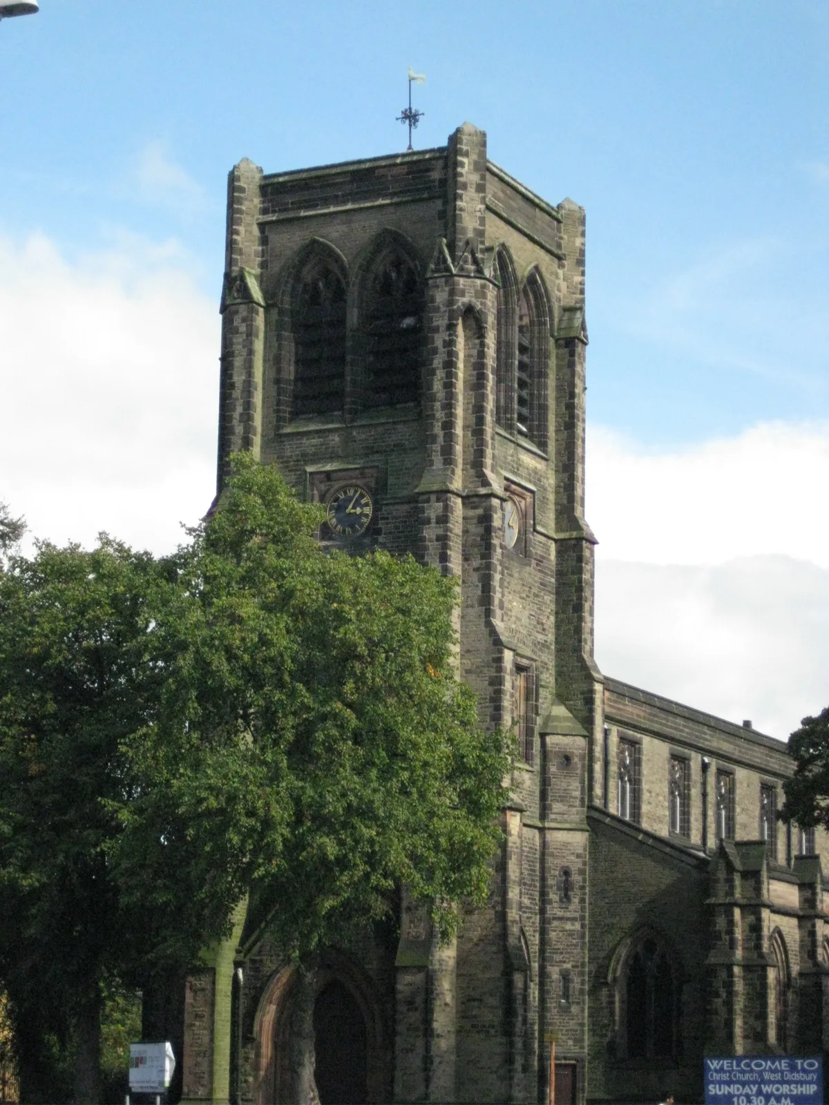
Christ Church
Historic churches · 0.8 km

Kagyu Ling Buddhist Centre
Historic churches · 0.8 km

Little Orange
Farmers’ markets · 1.0 km

Shalimar Cinema
Theatres · 1.1 km

Didsbury Mosque
Historic churches · 1.2 km
Manchester Islamic Centre & Didsbury Mosque
Historic churches · 1.2 km

Sett
Galleries · 1.2 km
Nearby
📷 3Chapels · North West England
Church of England Chapel In Manchester Southern Cemetery
Church of England Chapel In Manchester Southern Cemetery — chapel in Manchester, Greater Manchester, England, UK.
📷 3Cemeteries · North West England
Southern Cemetery
Southern Cemetery is a cemetery in the United Kingdom.
📷 3Chapels · North West England
Roman Catholic Chapel In Manchester Southern Cemetery
Roman Catholic Chapel In Manchester Southern Cemetery — chapel in Manchester, Greater Manchester, England, UK.
📷 5Historic churches · North West England
Hough End Hall Academy
Hough End Hall Academy — a church in england-west-midlands, United Kingdom.
📷 3Stately homes · North West England
Hough End Hall
Hough End Hall — manor house in Manchester, England, UK.
📷 3Historic churches · North West England
Christ Church
Christ Church — church in West Didsbury, United Kingdom.
Where to eat & stay near Barlow Moor
Places to stay
 📷 5
📷 5Hotels · North West England
Hilton Garden Inn Manchester Emirates Old Trafford
Hilton Garden Inn Manchester Emirates Old Trafford — a hotel in england west midlands. 4-star. Brand: Hilton Garden Inn.
 📷 7
📷 7Hotels · North West England
Chesters Hotel & Restaurant
Chesters Hotel & Restaurant — a hotel in england west midlands.
 📷 7
📷 7Hotels · North West England
Hotel Football
Hotel Football — a hotel in england west midlands.
 📷 5
📷 5 📷 5
📷 5Hotels · North West England
Hyatt Regency Manchester
Hyatt Regency Manchester — a hotel in england west midlands. 4-star. Brand: Hyatt Regency.
📷 5Hotels · North West England
Hyatt House Manchester
Hyatt House Manchester — a hotel in england west midlands. 4-star. Brand: Hyatt House.
Places to eat & drink
 📷 5
📷 5Historic pubs · North West England
Saints & Scholars
Saints & Scholars in England North West, United Kingdom.
 📷 5
📷 5Historic pubs · North West England
Wild Alderman
Wild Alderman in England North West, United Kingdom.
 📷 7
📷 7Historic pubs · North West England
Queen of Hearts
Queen of Hearts in England North West, United Kingdom.
 📷 7
📷 7 📷 7
📷 7Historic pubs · North West England
Volunteer Hotel
Volunteer Hotel — Historic pub — listed building or notable heritage status.
 📷 7
📷 7Historic pubs · North West England
The Rampant Lion
The Rampant Lion in England North West, United Kingdom.
More places in this region
 📷 3
📷 3Historic churches · North West England
All Saints Chapel, Somerford
All Saints Chapel, Somerford — church in Cheshire East, Cheshire, England, UK.
 📷 3
📷 3Historic churches · North West England
All Saints Church, Church Lawton
All Saints Church, Church Lawton — Grade II* listed church in Church Lawton, Cheshire East, Cheshire, England, UK.
 📷 3
📷 3Historic churches · North West England
All Saints Church, Scholar Green
All Saints Church, Scholar Green — church in Cheshire East, Cheshire, England, UK.
 📷 3
📷 3Historic churches · North West England
All Saints Church, Siddington
All Saints Church, Siddington — church in Cheshire East, Cheshire, England, UK.
Frequently asked questions
- Where is Barlow Moor?
- Barlow Moor is in the West Midlands, United Kingdom (postcode M21 7GL), in the parish of Manchester, unparished area.
- What is Barlow Moor?
- Barlow Moor is an area of Manchester, England. It was originally an area of moorland between Didsbury and Chorlton-cum-Hardy and was named after the Barlow family of Barlow Hall. Barlow Moor Road runs
- How do I get to Barlow Moor?
- The nearest railway station is Burnage, about 3.1 km away. Drivers can use postcode M21 7GL.
- Is Barlow Moor free to visit?
- Yes, Barlow Moor is free to enter.
- How do I get to Barlow Moor?
- The nearest railway station is Burnage, about 3.1 km away. Drivers can navigate to postcode M21 7GL.