
Manor houses · East of England
Barham Manor
In or near Hemingstone.
Barham Manor — Grade II listed building-listed manor in england-east, United Kingdom.

Geographer — CC BY-SA 2.0 via Wikimedia Commons licence

Plan your visit
- Typical visit
- 1 h–2 h
- Nearest railway station
- Westerfield · 4.7 km
- Limited wheelchair access
Getting there & planning your visit
To visit Barham Manor, the nearest railway station is Westerfield, located 4.7 km away. The postcode for sat-nav is IP6 0PU. Please note that wheelchair accessibility is limited.
About
Barham Manor is a Grade II listed building-listed manor in england-east, United Kingdom, registered on the National Heritage List for England (NHLE entry 1033248). Listed status protects buildings and structures of special architectural or historic interest. See the linked Wikipedia article for further details.
Photo gallery
Heritage listing
Details BARHAM CHURCH LANE TM 15 SW 3/10 Barham Manor 9.12.55 - II House, formerly manor house. C.1600, with alterations of early C20. Two storeys and attics. 3-cell lobby-entrance plan. Red brick in irregular English bond, perhaps originally plastered. Crow-stepped parapet gables. Plaintiled roofs with original chimneys of red brick; an axial stack between hall and parlour has a square base and 4 octagonal flues with star-tops. At the left-hand gable is a similar 2-flue stack; another similar surmounts the crow-stepped gable of the original rear wing behind the parlour. C20 casement dormers with gabled roofs. Mainly original mullioned and transomed windows of plastered brick, simulating limestone, with hollow-chamfered mullions; of 10 lights at ground storey and 8 above, with C20 leaded casements. C20 single- storey gabled entrance porch of red brick with boarded and battened door. At 1st floor level is a carved limestone coat of arms sunk within a moulded border. In the parlour the ceiling joists are ovolo-moulded; other exposed framing is plain. A number of small open fireplaces are original features, with elliptical heads. The house was altered in early C20 and a wing was added to rear left. Listing NGR: TM1422051033 Legacy The contents of this record have been generated from a legacy data system. Legacy System number: 279203 Legacy System: LBS
From the Historic England List Entry under OGL v3.
Protected designations
- Area of Outstanding Natural Beauty: Suffolk Coast & Heaths
Designations sourced from Natural England open data under OGL v3.
Place summary
Barham Manor is a Grade II listed manor located in the East of England. This designation highlights its architectural significance and historical importance.
AI-generated from the structured facts on this page (operator, designation, listing, era). Not a substitute for visiting.
- Coordinates
- 52.1161, 1.1274
- County
- Suffolk
- District
- Mid Suffolk
- Parish
- Barham
- Postcode
- IP6 0PU
- Parliamentary constituency
- Central Suffolk and North Ipswich
- Nearest railway station
- Westerfield — 4.7 km
Sources
- wikidata: Q26284723 (CC0)
Other places nearby
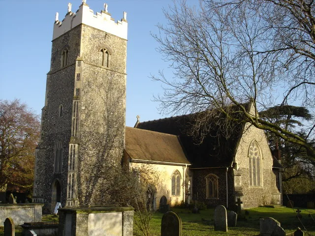
St Peter's Church, Claydon
Historic churches · 1.3 km

Barham Village Sign
Public art & sculpture · 1.3 km

Claydon
Villages · 1.5 km

Claydon Hall
Literary houses · 1.5 km

Henley
Villages · 1.6 km

Henley Village Sign
Public art & sculpture · 1.6 km

Tractor in a Tree
Public art & sculpture · 1.6 km

Claydon Institute Cinema
Theatres · 1.6 km
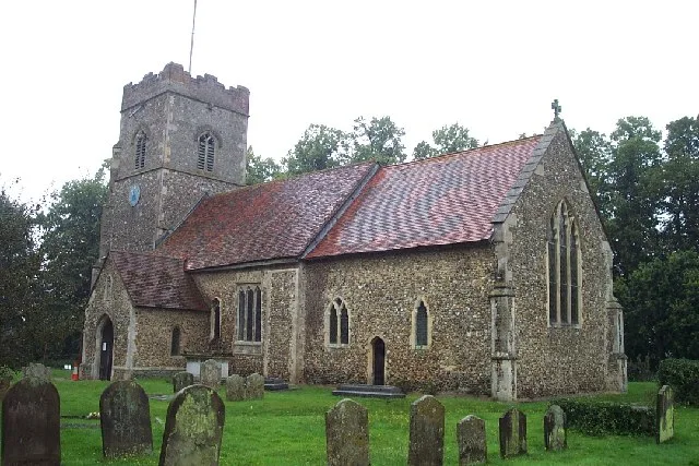
Church of St Peter
Historic churches · 1.7 km

Claydon Village Sign
Public art & sculpture · 1.7 km

Tree trunk climbing frame; birds, fish and boat
Public art & sculpture · 2.0 km

St Mary's Church
Historic churches · 2.3 km
Nearby
📷 5Historic churches · East of England
St Peter's Church, Claydon
St Peter's Church, Claydon — church in Claydon, Suffolk, England, UK.
📷 3Public art & sculpture · East of England
Barham Village Sign
Barham Village Sign — a public art in england-east, United Kingdom.
📷 5📷 5Literary houses · East of England
Claydon Hall
Claydon Hall — a literary house museum in england east.
📷 5📷 3Public art & sculpture · East of England
Henley Village Sign
Henley Village Sign — a public art in england-east, United Kingdom.
Where to eat & stay near Barham Manor
Places to stay
 📷 7
📷 7Hotels · East of England
Limes Hotel
Limes Hotel — a hotel in england east.
 📷 5
📷 5 📷 5
📷 5Campsites · East of England
Broughton Hall Caravan Club CL
Broughton Hall Caravan Club CL — a campsite in england east.
 📷 7
📷 7Hotels · East of England
Belstead Brook Hotel
Belstead Brook Hotel — a hotel in england east.
 📷 5
📷 5Hotels · East of England
Kesgrave Hall
Kesgrave Hall — a hotel in england east.
 📷 5
📷 5Hotels · East of England
Ipswich Hotel
Ipswich Hotel — a hotel in england east.
Places to eat & drink
 📷 7
📷 7Historic pubs · East of England
The Greyhound, Gosbeck
The Greyhound, Gosbeck in England East, United Kingdom.
 📷 5
📷 5Historic pubs · East of England
The Suffolk Punch
The Suffolk Punch in England East, United Kingdom.
 📷 7
📷 7 📷 7
📷 7Historic pubs · East of England
Half Moon and Star
Half Moon and Star in England East, United Kingdom.
 📷 7
📷 7 📷 5
📷 5Historic pubs · East of England
16, St Nicholas Street
16, St Nicholas Street in England East, United Kingdom.
More places in this region
 📷 5
📷 5Manor houses · East of England
Prebendal Manor
Prebendal Manor — a manor in england-london, United Kingdom.
 📷 5
📷 5Manor houses · East of England
Dunmowes Manor
Dunmowes Manor — a manor in england-london, United Kingdom.
 📷 5
📷 5Manor houses · East of England
Chamberlains Manor
Chamberlains Manor — a manor in england-london, United Kingdom.
 📷 5
📷 5Manor houses · East of England
Manor of Brays
Manor of Brays — a manor in england-london, United Kingdom.
Frequently asked questions
- Where is Barham Manor?
- Barham Manor is in Suffolk, East of England, United Kingdom (postcode IP6 0PU), in the parish of Barham.
- What is Barham Manor?
- Barham Manor — Grade II listed building-listed manor in england-east, United Kingdom.
- How do I get to Barham Manor?
- The nearest railway station is Westerfield, about 4.7 km away. The nearest town is Hemingstone. Drivers can use postcode IP6 0PU.
- Is Barham Manor a listed building?
- Barham Manor is officially recognised as Grade II listed building listed.
- Is Barham Manor a protected site?
- Yes — Barham Manor is part of the Suffolk Coast & Heaths National Landscape (AONB).
- How do I get to Barham Manor?
- The nearest railway station is Westerfield, about 4.7 km away. Drivers can navigate to postcode IP6 0PU.