
Stately homes · North West England
Bank Hall
In or near Hutton.
Bank Hall — listed mansion in Lancashire, England, UK.

Wikimedia Commons contributors — see linked file page for photographer and licence licence

Plan your visit
- Typical visit
- 2 h–4 h
- Nearest railway station
- Croston · 2.6 km
- Family-friendly
- Limited wheelchair access
Getting there & planning your visit
To visit Bank Hall, the nearest railway station is Croston, located 2.6 km away. The postcode for sat-nav is PR26 9BG. Accessibility is limited for wheelchair users.
About
Bank Hall is a stately home in the United Kingdom. Heritage designation: Grade II* listed building. Part of Bank Hall Estate. Wikidata describes it as: "listed mansion in Lancashire, England, UK". Coordinates: 53.6750°, -2.8150°.
Photo gallery
Heritage listing
Bank Hall is a Jacobean mansion in Bretherton, Lancashire, England. It is a Grade II* listed building and is at the centre of its own private estate, surrounded by parkland. The hall was built on the site of an older house in 1608 by the Banastres who were lords of the manor. The hall was extended during the 18th and 19th centuries. Extensions were built for George Anthony Legh Keck in 1832–33, to the design of the architect George Webster. Legh Keck died in 1860 and the estates passed to Thomas Powys, 3rd Baron Lilford. The contents were auctioned in 1861 and the hall used as a holiday home and later leased to tenants. During the Second World War the Royal Engineers used it as a control centre.
From the Historic England List Entry under OGL v3.
Protected designations
- Site of Special Scientific Interest: Ribble Estuary SSSI
- Ramsar wetland: Ribble & Alt Estuaries
Designations sourced from Natural England open data under OGL v3.
From the Wikipedia article
Bank Hall is a Jacobean mansion in Bretherton, Lancashire, England. It is a Grade II* listed building and is at the centre of its own private estate, surrounded by parkland. The hall was built on the site of an older house in 1608 by the Banastres who were lords of the manor. The hall was extended during the 18th and 19th centuries. Extensions were built for George Anthony Legh Keck in 1832–33, to the design of the architect George Webster. Legh Keck died in 1860 and the estates passed to Thomas Powys, 3rd Baron Lilford. The contents were auctioned in 1861 and the hall used as a holiday home and later leased to tenants. During the Second World War the Royal Engineers used it as a control centre. After the war the estate was returned to the Lilfords whose estate offices moved to the east wing of the house until 1972 when the house was vacated. The building was used as a location for the 1969 film The Haunted House of Horror. The house was subsequently vandalised, causing rapid deterioration. In 1995 the Bank Hall Action Group (now Friends of Bank Hall) was formed to raise public awareness, collect funds, host events and clear the overgrown grounds. In 2003 Bank Hall was the first building to be featured in the BBC's Restoration television series. Since 2006 the action group and Urban Splash have planned to restore the house as apartments retaining the gardens, entrance hall and clock tower for public access and the Heritage Trust for the North West (HTNW) plans to renovate the potting sheds and walled gardens.
Excerpt from Wikipedia under CC BY-SA 4.0. See the source article linked in Sources below.
Background
History
For centuries Bank Hall was the manorial home of a branch of the Banastre family, lords of the manor descended from the Norman Robert de Banastre, who built a motte and bailey castle at Prestatyn in about 1164. In 1167 the Banastres fled when Owain Gwynedd, Prince of North Wales, destroyed the castle and the family escaped to Cheshire and Lancashire. In 1315 Sir Adam Banastre, who had extensive landholdings elsewhere in the county, led the Banastre Rebellion against Thomas, 2nd Earl of Lancaster, and was summarily beheaded at Charnock Richard when the rebellion failed. A structure from the time of Elizabeth I is recorded on Christopher Saxton's map from 1579. In 1608 the Banastres built the…
Architecture
(lozenge) flushwork on the north elevation of Bank Hall|Diaper flushwork on the 1608 north, front elevation]] Bank Hall, built in the Jacobean style in 1608, is a brick built mansion of three storeys with Dutch gables and a square central tower on the south front. Some of the original brickwork in a diaper (lozenge) flushwork pattern is visible on one gable. The house was restored and enlarged by architect George Webster in 1832–33. He added a wing to the west elevations, built a porch on the north side, remodelled the 1608 north elevation windows, covered the roofs with blue Cumbrian slates and finished the walls with stone details. Webster carried out the alterations sympathetically, in a…
Sourced from Wikipedia under CC BY-SA 4.0.
- Coordinates
- 53.6750, -2.8150
- County
- Lancashire
- District
- Chorley
- Parish
- Bretherton
- Postcode
- PR26 9BG
- Parliamentary constituency
- South Ribble
- Nearest railway station
- Croston — 2.6 km
Sources
- wikidata: Q4855921 (CC0)
- wikipedia: Bank Hall (CC BY-SA 4.0)
- commons: Bank Hall Daffodils.jpeg (CC BY-SA 4.0)
Other places nearby
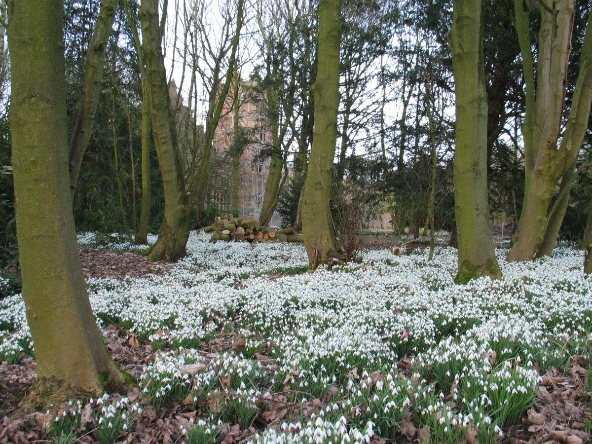
Bank Hall Gardens
Parks · 0.1 km

Tarleton Bridge
Historic bridges · 0.3 km
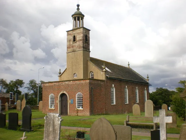
St Mary's Church, Tarleton
Historic churches · 0.6 km

The Windmill
Windmills · 0.7 km

The Old Windmill Near Bank Hall
Windmills · 0.7 km

Bretherton War Memorial
Memorials & monuments · 0.9 km
Bretherton War Mamorial
Memorials & monuments · 0.9 km
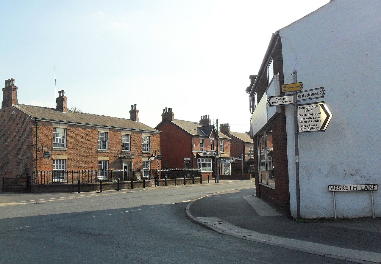
Tarleton
Villages · 1.1 km

Tarleton War Memorial
Memorials & monuments · 1.2 km
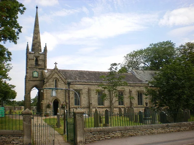
St John the Baptist's Church, Bretherton
Historic churches · 1.3 km

Tarleton Academy
Natural landmarks · 1.5 km

Sollom
Villages · 1.6 km
Nearby
📷 3Parks · North West England
Bank Hall Gardens
Bank Hall Gardens — immediate grounds belonging to the above.
📷 3Historic bridges · North West England
Tarleton Bridge
Tarleton Bridge — Grade II listed building-listed bridge in england-north-west, United Kingdom.
📷 5Historic churches · North West England
St Mary's Church, Tarleton
St Mary's Church, Tarleton — church in Tarleton, West Lancashire, England,UK.
📷 3Windmills · North West England
The Windmill
The Windmill — Windmill, dating to 1741.
📷 3Windmills · North West England
The Old Windmill Near Bank Hall
The Old Windmill Near Bank Hall — Grade II listed building-listed windmill in england-north-west, United Kingdom.
📷 3Memorials & monuments · North West England
Bretherton War Memorial
Bretherton War Memorial — Grade II listed building-listed memorial in england-north-west, United Kingdom.
Where to eat & stay near Bank Hall
Places to stay
 📷 5
📷 5Campsites · North West England
Longfold Farm Campsite
Longfold Farm Campsite — a campsite in england north west.
 📷 5
📷 5 📷 5
📷 5Caravan parks · North West England
Old Manor Farm Campsite
Old Manor Farm Campsite — a caravan park in england north west.
 📷 5
📷 5Caravan parks · North West England
Woodlands Caravan Park Southport
Woodlands Caravan Park Southport — a caravan park in england north west.
 📷 5
📷 5Caravan parks · North West England
Oakfield Fishery Caravan Park
Oakfield Fishery Caravan Park — a caravan park in england north west.
 📷 5
📷 5Campsites · North West England
Donkey Creek Farm Campsite
Donkey Creek Farm Campsite — a campsite in england north west.
Places to eat & drink
 📷 7
📷 7Historic pubs · North West England
Eagle And Child Inn
Eagle And Child Inn in England North West, United Kingdom.
 📷 7
📷 7Cafés · North West England
Claude's of Churchtown
Claude's of Churchtown — a café in england north west.
 📷 5
📷 5Historic pubs · North West England
Ye Olde Hob Inn
Ye Olde Hob Inn in England North West, United Kingdom.
 📷 5
📷 5Historic pubs · North West England
The Railway Hotel
The Railway Hotel in England North West, United Kingdom.
 📷 5
📷 5 📷 7
📷 7Historic pubs · North West England
The Old Black Bull Public House
The Old Black Bull Public House in England North West, United Kingdom.
More places in this region
 📷 3
📷 3Stately homes · North West England
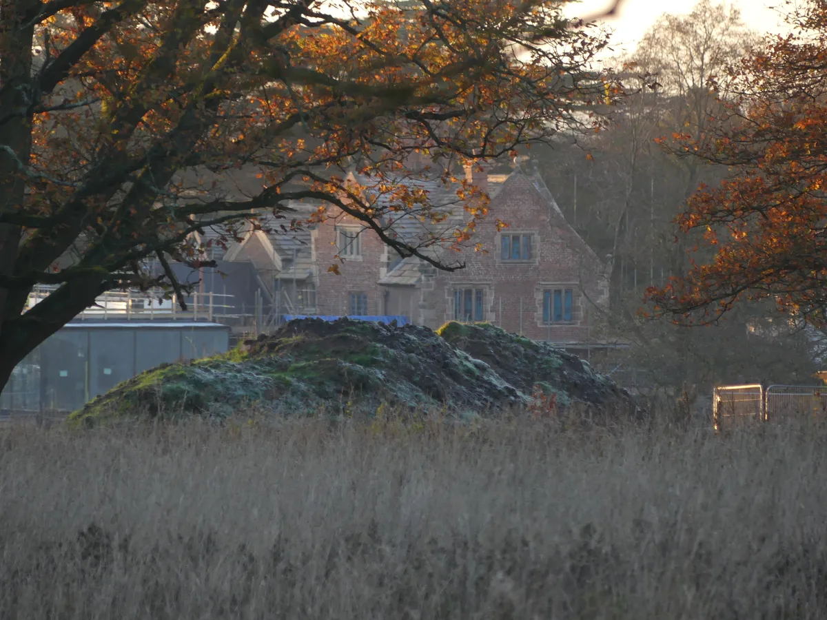
Alderley Old Hall
Alderley Old Hall — manor house in Nether Alderley, Cheshire, England, UK.
 📷 3
📷 3Stately homes · North West England
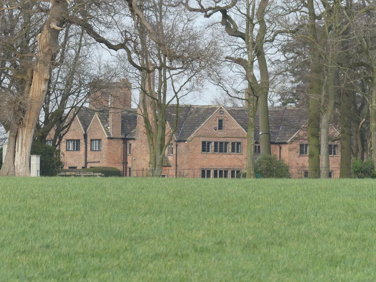
Blackden Manor
Blackden Manor — Grade II listed 16th-century manor house in Goostrey, Cheshire, England, UK.
 📷 3
📷 3Stately homes · North West England
Chelford Manor House
Chelford Manor House — Grade II* listed building in Chelford, Cheshire, England, UK.
 📷 3
📷 3Stately homes · North West England
Clonterbrook House
Clonterbrook House — country house in Swettenham, Cheshire, England, UK.
Frequently asked questions
- Where is Bank Hall?
- Bank Hall is in Lancashire, North-West England, United Kingdom (postcode PR26 9BG), in the parish of Bretherton.
- What is Bank Hall?
- Bank Hall — listed mansion in Lancashire, England, UK.
- How do I get to Bank Hall?
- The nearest railway station is Croston, about 2.6 km away. The nearest town is Hutton. Drivers can use postcode PR26 9BG.
- Is Bank Hall a listed building?
- Bank Hall is officially recognised as Grade II* listed building listed.
- Is Bank Hall a protected site?
- Yes — Bank Hall is part of the Ribble Estuary SSSI Site of Special Scientific Interest and the Ribble & Alt Estuaries Ramsar wetland.
- How do I get to Bank Hall?
- The nearest railway station is Croston, about 2.6 km away. Drivers can navigate to postcode PR26 9BG.