
Historic bridges · Scottish Lowlands
Ballochmyle Viaduct
In or near Catrine.
Ballochmyle Viaduct is a historic bridge in the United Kingdom.

Wikimedia Commons contributors — see linked file page for photographer and licence licence

Plan your visit
- Typical visit
- 15 min–30 min
- Nearest railway station
- Auchinleck · 5.3 km
- Free entry
- Dog-friendly
Getting there & planning your visit
To visit Ballochmyle Viaduct, the nearest railway station is Auchinleck, located 5.3 km away. The postcode for the area is KA5 5JN, which you can use for sat-nav coordinates (55.4995, -4.3623). Entry to the viaduct is free.
About
Ballochmyle Viaduct is a named historic bridge in the United Kingdom. Records date its origin to 1848. OpenStreetMap heritage rating: 2/5. Coordinates: 55.4995°, -4.3623°.
Photo gallery
From the Wikipedia article
The Ballochmyle Viaduct is the tallest extant railway viaduct in Britain. It is 169 feet (52 m) high, and carries the railway over the River Ayr near Mauchline and Catrine in East Ayrshire, Scotland. It carries the former Glasgow and South Western Railway line between Glasgow and Carlisle. Designed by John Miller, the viaduct was built in the 1840s for the Glasgow, Paisley, Kilmarnock and Ayr Railway Company. Work commenced on its construction during March 1846; it was built under contract by Ross & Mitchell and William McCandlish was the resident engineer. It is built of local red sandstone and stronger stone sourced from Dundee was used for the arch rings. On completion on 2 March 1848, the viaduct had the largest masonry arch in the world and remains amongst the largest ever to be constructed. The viaduct was listed in April 1971 and became a Category A listed structure in January 1989. It was designated a "Historic Civil Engineering Landmark" by the Institution of Civil Engineers (ICE) in 2014. Network Rail undertook strengthening work on the viaduct in the 2010s. The Ballochmyle Viaduct is used for passenger and freight traffic through to the present day.
Excerpt from Wikipedia under CC BY-SA 4.0. See the source article linked in Sources below.
Background
History
The Ballochmyle Viaduct was designed by John Miller for the Glasgow, Paisley, Kilmarnock and Ayr Railway during the mid 1840s. During March 1846, construction of the stone viaduct began. The viaduct was completed on 2 March 1848 but the line was not completed until 9 August 1850. At the time of its construction, the viaduct had the largest masonry arch in the world; 150 years later, it was amongst the biggest masonry arches to have ever been built. and tens of thousands of trains have crossed over it during its lifetime. The viaduct has been in continuous use to the present day; in 2014, it was in a good condition despite more than 160 years of service. Ballochmyle Viaduct was designated a…
Architecture
Ballochmyle Viaduct carries a double-track railway over the River Ayr. It has seven spans, three 50 ft spans at either side of the central 181 ft span. The main arch crosses the River Ayr at 164 ft at its highest point.
Sourced from Wikipedia under CC BY-SA 4.0.
- Coordinates
- 55.4995, -4.3623
- District
- East Ayrshire
- Postcode
- KA5 5JN
- Parliamentary constituency
- Kilmarnock and Loudoun
- Established
- 1848
- Nearest railway station
- Auchinleck — 5.3 km
Sources
- osm: w638297625 (ODbL)
- wikipedia: Ballochmyle Viaduct (CC BY-SA 4.0)
- commons: Ballochmyle Viaduct.jpg (CC BY-SA 4.0)
Other places nearby

Site of destroyed Pedens Cave
Caves · 0.0 km

Clifftop viewpoint (informal)
Viewpoints · 0.3 km

Ballochmyle Cup & Ring Markings (Kingencleugh Panel)
Archaeological sites · 0.3 km
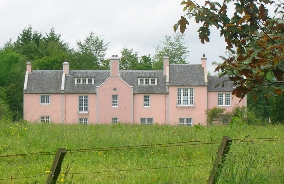
Kingencleugh Castle
Castles · 0.6 km

Howford Bridge
Historic bridges · 0.7 km
Ballochmyle Bridge
Historic bridges · 0.7 km

Catrine House Caravan and Camping
Campsites · 1.0 km

Ballochmyle Golf Course
Golf courses · 1.0 km

Site of Heatherhouse
Historic houses · 1.6 km

Catrine
Towns & cities · 1.6 km

Kemp's House Cave
Caves · 1.8 km

Old Bridge, River Ayr, Barskimming
Historic bridges · 1.8 km
Nearby
📷 3Caves · Scottish Lowlands
Site of destroyed Pedens Cave
Site of destroyed Pedens Cave — a cave in scotland-lowlands, United Kingdom.
📷 3Viewpoints · Scottish Lowlands
Clifftop viewpoint (informal)
Clifftop viewpoint (informal) is a viewpoint in the United Kingdom.
📷 3Archaeological sites · Scottish Lowlands
Ballochmyle Cup & Ring Markings (Kingencleugh Panel)
Ballochmyle Cup & Ring Markings (Kingencleugh Panel) — a archaeological in scotland-central, United Kingdom.
📷 4Castles · Scottish Lowlands
Kingencleugh Castle
Kingencleugh Castle — castle in East Ayrshire, Scotland, UK.
📷 5Historic bridges · Scottish Lowlands
Howford Bridge
Howford Bridge — category B listed building-listed bridge in scotland-lowlands, United Kingdom.
📷 5Historic bridges · Scottish Lowlands
Ballochmyle Bridge
Ballochmyle Bridge — category B listed building-listed bridge in scotland-central, United Kingdom.
Where to eat & stay near Ballochmyle Viaduct
Places to stay
📷 5Campsites · Scottish Lowlands
Catrine House Caravan and Camping
Catrine House Caravan and Camping — a campsite in scotland lowlands.

Caravan parks · Scottish Lowlands
Sundrum Castle Holiday Park
Sundrum Castle Holiday Park — a caravan park in scotland lowlands. Brand: Parkdean Resorts.
 📷 5
📷 5Caravan parks · Scottish Lowlands
Dutch House Caravan Park
Dutch House Caravan Park — a caravan park in scotland highlands.
📷 5Caravan parks · Scottish Lowlands
Dutch House Caravan Park
Dutch House Caravan Park — a caravan park in scotland highlands.
 📷 5
📷 5Caravan parks · Scottish Lowlands
Crofthead Holiday Park
Crofthead Holiday Park — a caravan park in scotland lowlands.
 📷 5
📷 5Caravan parks · Scottish Lowlands
Prestwick Holiday Park
Prestwick Holiday Park — a caravan park in scotland highlands.
Places to eat & drink
 📷 7
📷 7Historic pubs · Scottish Lowlands
Commercial Inn, 1-3 Mill Street, Ochiltree
Commercial Inn, 1-3 Mill Street, Ochiltree in Scotland Lowlands, United Kingdom.
 📷 5
📷 5Historic pubs · Scottish Lowlands
The Sun Inn, 23 The Square, Cumnock
The Sun Inn, 23 The Square, Cumnock in Scotland Lowlands, United Kingdom.
 📷 5
📷 5Historic pubs · Scottish Lowlands
Loudoun Arms, 69 Main Street, Newmilns
Loudoun Arms, 69 Main Street, Newmilns in Scotland Central, United Kingdom.
 📷 5
📷 5Historic pubs · Scottish Lowlands
The Clansman, 58, 60, 62 John Finnie Street, Kilmarnock
The Clansman, 58, 60, 62 John Finnie Street, Kilmarnock in Scotland Central, United Kingdom.
 📷 5
📷 5Historic pubs · Scottish Lowlands
Railway Tavern, 18 Smith Street, Ayr
Railway Tavern, 18 Smith Street, Ayr in Scotland Lowlands, United Kingdom.
 📷 7
📷 7Historic pubs · Scottish Lowlands
Weston Tavern
Weston Tavern in Scotland Central, United Kingdom.
Other bridges from this era
 📷 5
📷 5Historic bridges · London
Blackfriars Bridge
Blackfriars Bridge is a historic bridge in the United Kingdom.
 📷 5
📷 5Historic bridges · London
Cannon Street Railway Bridge
Cannon Street Railway Bridge is a historic bridge in the United Kingdom.
_-_geograph.org.uk_-_1735445.jpg?width=1200) 📷 5
📷 5Historic bridges · London
Eynsford Viaduct
Eynsford Viaduct is a historic bridge in the United Kingdom.
 📷 5
📷 5Historic bridges · London
Hungerford Bridge
Hungerford Bridge is a historic bridge in the United Kingdom.
More bridges in this region
 📷 5
📷 5 📷 3
📷 3Historic bridges · Scottish Lowlands
Spittal-on-Rule
Spittal-on-Rule in England North East, United Kingdom.
 📷 4
📷 4Historic bridges · Scottish Lowlands
Coldstream Bridge
Coldstream Bridge in England North East, United Kingdom.
 📷 3
📷 3Frequently asked questions
- Where is Ballochmyle Viaduct?
- Ballochmyle Viaduct is in the Scottish Lowlands, United Kingdom (postcode KA5 5JN).
- What is Ballochmyle Viaduct?
- Ballochmyle Viaduct is a historic bridge in the United Kingdom.
- How do I get to Ballochmyle Viaduct?
- The nearest railway station is Auchinleck, about 5.3 km away. Drivers can use postcode KA5 5JN.
- When was Ballochmyle Viaduct built?
- Built or established in 1848.
- Who owns Ballochmyle Viaduct?
- Ballochmyle Viaduct is owned by | maint =.
- Is Ballochmyle Viaduct free to visit?
- Yes, Ballochmyle Viaduct is free to enter.
- How do I get to Ballochmyle Viaduct?
- The nearest railway station is Auchinleck, about 5.3 km away. Drivers can navigate to postcode KA5 5JN.