
Natural landmarks · Northern Ireland
Ballinascreen GAC
In or near Straw.
Ballinascreen GAC in Northern Ireland, United Kingdom.

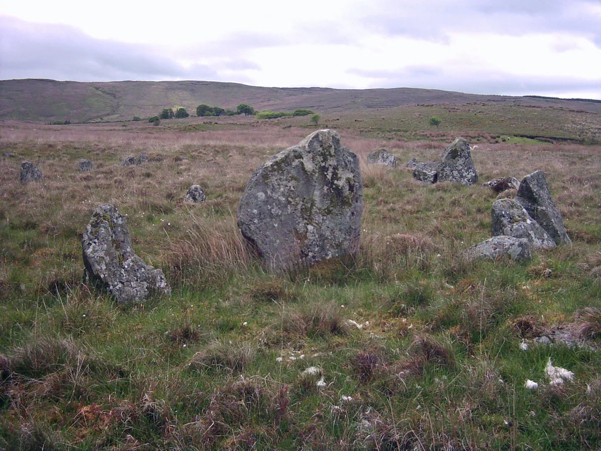
Rossographer — CC BY-SA 2.0 via Wikimedia Commons licence

Plan your visit
- Typical visit
- 1 h–2 h
- Free entry
- Dog-friendly
About
Ballinascreen GAC is a place of interest in Northern Ireland, United Kingdom — drawn from open-data sources for visitor reference. See the linked Wikipedia article for the full description.
Photo gallery
From the Wikipedia article
St Colm's Ballinascreen GAC (Irish: CLG Naomh Colm Baile na Scrine) is a Gaelic Athletic Association club based in Ballinascreen, which includes the town of Draperstown, County Londonderry, Northern Ireland. The club is a member of the Derry GAA. It currently caters for Gaelic football, hurling, camogie and ladies' Gaelic football and have 25 teams across the four sports. Underage teams up to U-12's play in the south Derry GAA league and championships, from U-14 upwards teams compete in All-Derry competitions.
Excerpt from Wikipedia under CC BY-SA 4.0. See the source article linked in Sources below.
Background
History
St Colm's GAC Ballinascreen was founded in 1933. The founders were Seán Mac Diarmada, James Conway, Barney Rodgers and Eddie O'Neill and Michael Kelly. St Colm's started off impressively by winning their first two Derry Senior Football Championships in 1934 and 1935. They followed this with two Derry Senior Hurling Championships in 1938 and 1939. They added a third football championship in 1941. Matt Regan played in all five championship successes. He was a regular on the Derry county team and was the first Derry man to play for Ulster in the Railway Cup. Ballinascreen opened Dean McGlinchey Park in 1954. A covered stand was added in 1970. They won the 1954 Derry Junior Football…
Sourced from Wikipedia under CC BY-SA 4.0.
- Coordinates
- 54.7826, -6.8050
- District
- Mid Ulster
- Postcode
- BT45 7BB
- Parliamentary constituency
- Mid Ulster
- Established
- 1933
Sources
- wikidata: Q4851712 (CC0)
- wikipedia: Ballinascreen GAC (CC BY-SA 4.0)
Other places nearby

Straw
Towns & cities · 0.2 km

Draperstown
Natural landmarks · 1.8 km

St Colm's High School, Draperstown
Historic churches · 2.1 km

Draperstown railway station
Natural landmarks · 2.1 km

Glenconkeyne
Natural landmarks · 3.0 km

Draperstown
Villages · 3.1 km

The 7 Arches Mousetrap Bridge Weir
Waterfalls · 3.3 km

Brackaghlislea
Natural landmarks · 3.8 km
Corick
Hill forts · 4.0 km

Neolithic Ritural Complex
Memorials & monuments · 4.0 km

Mormeal
Natural landmarks · 4.0 km

Moneyneany
Natural landmarks · 4.2 km
Nearby
📷 3Towns & cities · Northern Ireland
Straw
Straw — village in County Londonderry, Northern Ireland, UK.
📷 4Natural landmarks · Northern Ireland
Draperstown
Draperstown in Northern Ireland, United Kingdom.
📷 4Historic churches · Northern Ireland
St Colm's High School, Draperstown
St Colm's High School, Draperstown in Northern Ireland, United Kingdom.
📷 3Natural landmarks · Northern Ireland
Draperstown railway station
Draperstown railway station in Northern Ireland, United Kingdom.
📷 3Natural landmarks · Northern Ireland
Glenconkeyne
Glenconkeyne in Northern Ireland, United Kingdom.
📷 5Where to eat & stay near Ballinascreen GAC
Places to stay
 📷 5📷 5
 📷 3
📷 3 📷 5
📷 5Places to eat & drink
 📷 7
📷 7Historic pubs · Northern Ireland
1-3 High Street, Moneymore
1-3 High Street, Moneymore in Northern Ireland, United Kingdom.
More natural landmarks in this region
 Flagship📷 4
Natural landmarks · Northern Ireland
Lough Erne
Lough Erne — lake in County Fermanagh, Northern Ireland, UK.
 Flagship📷 4
Natural landmarks · Northern Ireland
Lough Neagh
Lough Neagh — large lake in Northern Ireland.
 📷 3
📷 3Natural landmarks · Northern Ireland
Ballysaggart Lough
Ballysaggart Lough — lake in the United Kingdom.
 📷 5
📷 5Natural landmarks · Northern Ireland
Belmore Mountain
Belmore Mountain — mountain in the United Kingdom.
Frequently asked questions
- Where is Ballinascreen GAC?
- Ballinascreen GAC is in Northern Ireland, United Kingdom (postcode BT45 7BB).
- What is Ballinascreen GAC?
- Ballinascreen GAC in Northern Ireland, United Kingdom.
- How do I get to Ballinascreen GAC?
- Drivers can use postcode BT45 7BB.
- When was Ballinascreen GAC built?
- Built or established in 1933.
- Is Ballinascreen GAC free to visit?
- Yes, Ballinascreen GAC is free to enter.
- How do I get to Ballinascreen GAC?
- Drivers can navigate to postcode BT45 7BB. It sits within the Mid Ulster parliamentary constituency.