
Castles · Central Scotland
Ballencrieff, East Lothian
In or near Aberlady.
Ballencrieff is a rural community in East Lothian, Scotland. It lies between the towns of Aberlady, Drem, Haddington and Longniddry and is approximately 20 miles north-east of Edinburgh. The name come

Richard West — CC BY-SA 2.0 via Wikimedia Commons licence

Plan your visit
- Typical visit
- 1.5 h–3 h
- Nearest railway station
- Drem · 3.0 km
- Family-friendly
- Limited wheelchair access
Getting there & planning your visit
To visit Ballencrieff in East Lothian, the nearest railway station is Drem, located 3 km away. The postcode for sat-nav is EH32 0QH. Accessibility is limited for wheelchair users.
About
Ballencrieff is a rural community in East Lothian, Scotland. It lies between the towns of Aberlady, Drem, Haddington and Longniddry and is approximately 20 miles north-east of Edinburgh. The name comes from the Gaelic Baile na Craoibhe, meaning "stead of the tree". There is a prehistoric enclosure at Ballencrieff Mains which is a Scheduled Ancient Monument. Ballencrief is just west of a roundabout where the A6137 road (Haddington to Aberlady) is crossed by the B1377 (Longniddry to Drem). The village comprises typical rural housing, and there was some industry in the past. There is a farm and farm shop which breeds rare breed pigs. Nearby Ballencrieff Castle was built in 1507; this was the seat of the Murray family, the Lords Elibank, and James Murray (governor of Quebec) was born here in 1721. There is a 16th-century granary near the castle. There was a brickworks in Ballencrieff which was shown on a 1799 map, and in 1837 a George Reid was recorded as a brick and tile maker. In 1838 the Marquess of Tweeddale tested a tile making machine at this site. It was still recorded on a map in 1853, and in 1867 William Brodie was recorded as a brick and tile manufacturer. It was last recorded in 1915 when the Edinburgh Evening News reported that the farmer G. Sinclair, who had been farming the land, bought the site from Lord Elibank. The North British Railway, opened in 1846, passes close to Ballencrieff, and there was a short-lived station here from June 1846 to November 1847. The lin
Photo gallery
See it from the streetimagery from 2026
Imagery © Mapillary contributors, CC BY-SA 4.0
From the Wikipedia article
Ballencrieff is a rural community in East Lothian, Scotland. It lies between the towns of Aberlady, Drem, Haddington and Longniddry and is approximately 20 miles north-east of Edinburgh. The name comes from the Gaelic Baile na Craoibhe, meaning "stead of the tree". There is a prehistoric enclosure at Ballencrieff Mains which is a Scheduled Ancient Monument. Ballencrief is just west of a roundabout where the A6137 road (Haddington to Aberlady) is crossed by the B1377 (Longniddry to Drem). The village comprises typical rural housing, and there was some industry in the past. There is a farm and farm shop which breeds rare breed pigs. Nearby Ballencrieff Castle was built in 1507; this was the seat of the Murray family, the Lords Elibank, and James Murray (governor of Quebec) was born here in 1721. There is a 16th-century granary near the castle. There was a brickworks in Ballencrieff which was shown on a 1799 map, and in 1837 a George Reid was recorded as a brick and tile maker. In 1838 the Marquess of Tweeddale tested a tile making machine at this site. It was still recorded on a map in 1853, and in 1867 William Brodie was recorded as a brick and tile manufacturer. It was last recorded in 1915 when the Edinburgh Evening News reported that the farmer G. Sinclair, who had been farming the land, bought the site from Lord Elibank. The North British Railway, opened in 1846, passes close to Ballencrieff, and there was a short-lived station here from June 1846 to November 1847. The line is still in use as part of the East Coast Main Line.
Excerpt from Wikipedia under CC BY-SA 4.0. See the source article linked in Sources below.
- Coordinates
- 55.9940, -2.8290
- District
- East Lothian
- Postcode
- EH32 0QH
- Parliamentary constituency
- Lothian East
- Nearest railway station
- Drem — 3 km
Sources
- wikipedia: Ballencrieff, East Lothian (CC BY-SA 4.0)
Other places nearby
Ballencrieff Castle
Castles · 0.4 km
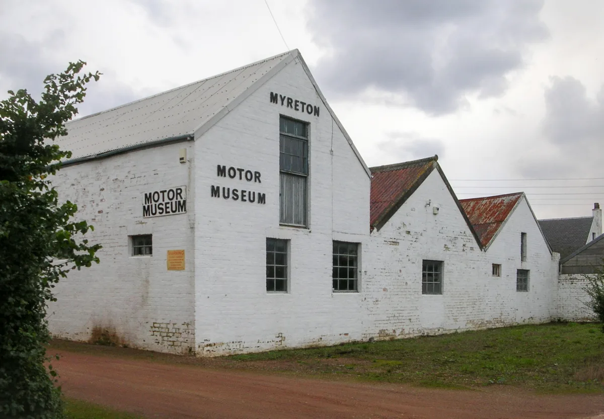
Myreton Motor Museum
Museums · 1.1 km

Mungoswells
Vineyards · 1.2 km

Byres Castle
Castles · 1.7 km

Aberlady railway station
Heritage railway stations · 1.8 km

Aberlady Caravan Park
Campsites · 1.8 km

Water Tower, Luffness House
Memorials & monuments · 2.2 km

Luffness Friary
Abbeys & priories · 2.3 km

Chesters Hill Fort
Vineyards · 2.4 km

The Chesters Hill Fort
Hill forts · 2.4 km

Redhouse Castle
Literary houses · 2.4 km

Redhouse Castle
Castles · 2.4 km
Nearby
📷 5Castles · Central Scotland
Ballencrieff Castle
Ballencrieff Castle, also known as Ballencrieff House, is a large tower house at Ballencrieff, East Lothian, Scotland. It is located three miles north west of Haddington, and one mile south of Aberlad
📷 3Museums · Central Scotland
Myreton Motor Museum
Myreton Motor Museum — transport museum in East Lothian, Scotland, UK.
📷 5Vineyards · Central Scotland
Mungoswells
Mungoswells — a UK vineyard in scotland central, producing English or Welsh wine from cool-climate grape varieties.
📷 5Castles · Central Scotland
Byres Castle
Byres Castle was a castle located at Byres, in East Lothian, Scotland. The castle was a stronghold of the Lindsay family, known as Lord Lindsay of the Byres. It was the caput of the Barony of Byres. N
📷 4Heritage railway stations · Central Scotland
Aberlady railway station
Aberlady railway station in Scotland Islands, United Kingdom.
📷 5Campsites · Central Scotland
Aberlady Caravan Park
Aberlady Caravan Park — a campsite in scotland central.
Where to eat & stay near Ballencrieff, East Lothian
Places to stay
📷 5Campsites · Central Scotland
Aberlady Caravan Park
Aberlady Caravan Park — a campsite in scotland central.
 📷 7
📷 7 📷 5
📷 5Caravan parks · Central Scotland
The Steading Caravan Park
The Steading Caravan Park — a caravan park in scotland central.
 📷 7
📷 7 📷 7
📷 7Hotels · Central Scotland
The Plough Tavern Hotel
The Plough Tavern Hotel — a hotel in scotland central.
 📷 5
📷 5Caravan parks · Central Scotland
Station Park Caravan Site
Station Park Caravan Site — a caravan park in scotland central.
Places to eat & drink
 📷 5
📷 5Historic pubs · Central Scotland
Gardner's Arms Public House, Market Street, Haddington
Gardner's Arms Public House, Market Street, Haddington in Scotland Central, United Kingdom.
 📷 5
📷 5Historic pubs · Central Scotland
The Crown & Kitchen
The Crown & Kitchen in Scotland Central, United Kingdom.
 📷 5
📷 5Historic pubs · Central Scotland
Gothenburg Tavern, High Street, Prestonpans
Gothenburg Tavern, High Street, Prestonpans in Scotland Central, United Kingdom.
 📷 5
📷 5Historic pubs · Central Scotland
The Royal Esk, 128, 130 High Street, Musselburgh
The Royal Esk, 128, 130 High Street, Musselburgh in Scotland Central, United Kingdom.
 📷 7
📷 7Historic pubs · Central Scotland
Coach and Horses Public House, 168 High Street, Dalkeith
Coach and Horses Public House, 168 High Street, Dalkeith in Scotland Central, United Kingdom.
 📷 5
📷 5Historic pubs · Central Scotland
Gothenburg Public House, 45 Buccleuch Street, Dalkeith
Gothenburg Public House, 45 Buccleuch Street, Dalkeith in Scotland Central, United Kingdom.
More castles in this region
 📷 3
📷 3 📷 5
📷 5 📷 4
📷 4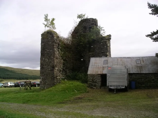 📷 3
📷 3Castles · Central Scotland
Achallader Castle
Achallader Castle — castle in Argyll and Bute, Scotland, UK.
Frequently asked questions
- Where is Ballencrieff, East Lothian?
- Ballencrieff, East Lothian is in central Scotland, United Kingdom (postcode EH32 0QH).
- What is Ballencrieff, East Lothian?
- Ballencrieff is a rural community in East Lothian, Scotland. It lies between the towns of Aberlady, Drem, Haddington and Longniddry and is approximately 20 miles north-east of Edinburgh. The name come
- How do I get to Ballencrieff, East Lothian?
- The nearest railway station is Drem, about 3.0 km away. The nearest town is Aberlady. Drivers can use postcode EH32 0QH.
- Does Ballencrieff, East Lothian charge admission?
- Ballencrieff, East Lothian typically charges admission. Check the official site for current ticket prices and opening hours.
- How do I get to Ballencrieff, East Lothian?
- The nearest railway station is Drem, about 3.0 km away. Drivers can navigate to postcode EH32 0QH.