
Historic churches · London
Bait-ul-Hadi
In or near Croxley Green.
Bait-ul-Hadi — a church in London, United Kingdom.

Geographer — CC BY-SA 2.0 via Wikimedia Commons licence

Plan your visit
- Typical visit
- 30 min–1 h
- Nearest railway station
- Watford · 1.6 km
- Free entry
About
Bait-ul-Hadi is a church located in London, United Kingdom. Sourced from OpenStreetMap (ODbL licence); see local listings for visitor information, opening hours and admission details.
Photo gallery
Protected designations
- Area of Outstanding Natural Beauty: Chilterns
Designations sourced from Natural England open data under OGL v3.
Place summary
Bait-ul-Hadi is a church located in London, postcode WD18. It serves as a place of worship and community gathering.
AI-generated from the structured facts on this page (operator, designation, listing, era). Not a substitute for visiting.
- Coordinates
- 51.6423, -0.4189
- County
- Hertfordshire
- District
- Watford
- Parish
- Watford, unparished area
- Postcode
- WD18 9QD
- Parliamentary constituency
- Watford
- Nearest railway station
- Watford — 1.6 km
Sources
- osm: way/1202658419 (ODbL)
Other places nearby

Merchant Taylors' School
Historic houses · 0.9 km

Ebury Way
Canals · 1.4 km

Croxley Danes School
Natural landmarks · 1.5 km

Vicarage Road
Stadiums · 1.5 km

Graham Taylor Statue
Public art & sculpture · 1.5 km

Vicarage Road Cemetery
Cemeteries · 1.5 km

The More Palace (site of)
Palaces · 1.6 km
The More
Palaces · 1.7 km

Cannon Watford
Theatres · 1.8 km

The Withey Beds Local Nature Reserve
Forests & woodlands · 1.8 km

Woven Willow
Public art & sculpture · 1.8 km

Croxley Green
Towns & cities · 1.9 km
Nearby
📷 5Historic houses · London
Merchant Taylors' School
Merchant Taylors' School — a Grade II-listed historic house in england-london, United Kingdom.
📷 5Canals · London
Ebury Way
The Ebury Way is a 3.5-mile (5.6 km) rail trail in Hertfordshire between Watford and Rickmansworth. The route crosses the Grand Union Canal and three rivers: the River Colne, the River Chess and the R
📷 5Natural landmarks · London
Croxley Danes School
Croxley Danes School — a school heritage in england-london, United Kingdom.
📷 5Stadiums · London
Vicarage Road
Vicarage Road — Association football stadium in Watford, Hertfordshire, England, home to Watford F.C.
📷 5Public art & sculpture · London
Graham Taylor Statue
Graham Taylor Statue — a public art in London, United Kingdom.
📷 5Cemeteries · London
Vicarage Road Cemetery
Vicarage Road Cemetery is a cemetery in the United Kingdom.
Where to eat & stay near Bait-ul-Hadi
Places to stay
 📷 5
 📷 7
 📷 5
Campsites · London
Lees Wood Scout & Guide Activity Centre
Lees Wood Scout & Guide Activity Centre — a campsite in england london.
 📷 5
 📷 6
 📷 5
Places to eat & drink
 📷 7
Restaurants · London
Las Iguanas
Las Iguanas — a restaurant in england london. Cuisine: latin american. Brand: Las Iguanas.
 📷 5
Historic pubs · London
The One Crown Public House
The One Crown Public House in England London, United Kingdom.
 📷 5
 📷 5
Historic pubs · London
Ye Old Greene Manne Public House
Ye Old Greene Manne Public House in England London, United Kingdom.
 📷 5
Historic pubs · London
Horse And Chains Public House
Horse And Chains Public House in England London, United Kingdom.
 📷 5
Historic pubs · London
The Whip And Collar Public House
The Whip And Collar Public House in England London, United Kingdom.
More places in this region
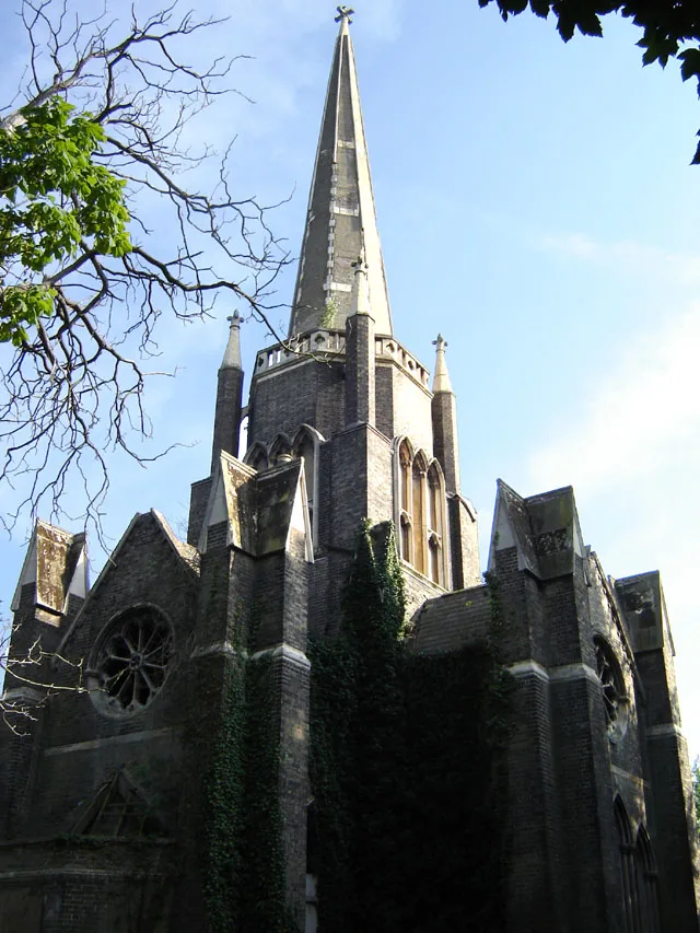 📷 5
Historic churches · London
Abney Park Chapel
Abney Park Chapel — grade II listed church in the London Borough of Hackney, England,UK.
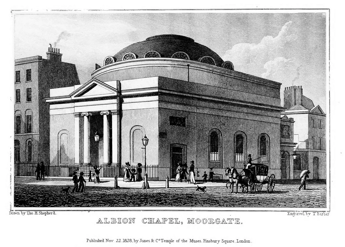 📷 5
 📷 5
Historic churches · London
All Hallows Bread Street
All Hallows Bread Street — church in City of London, UK.
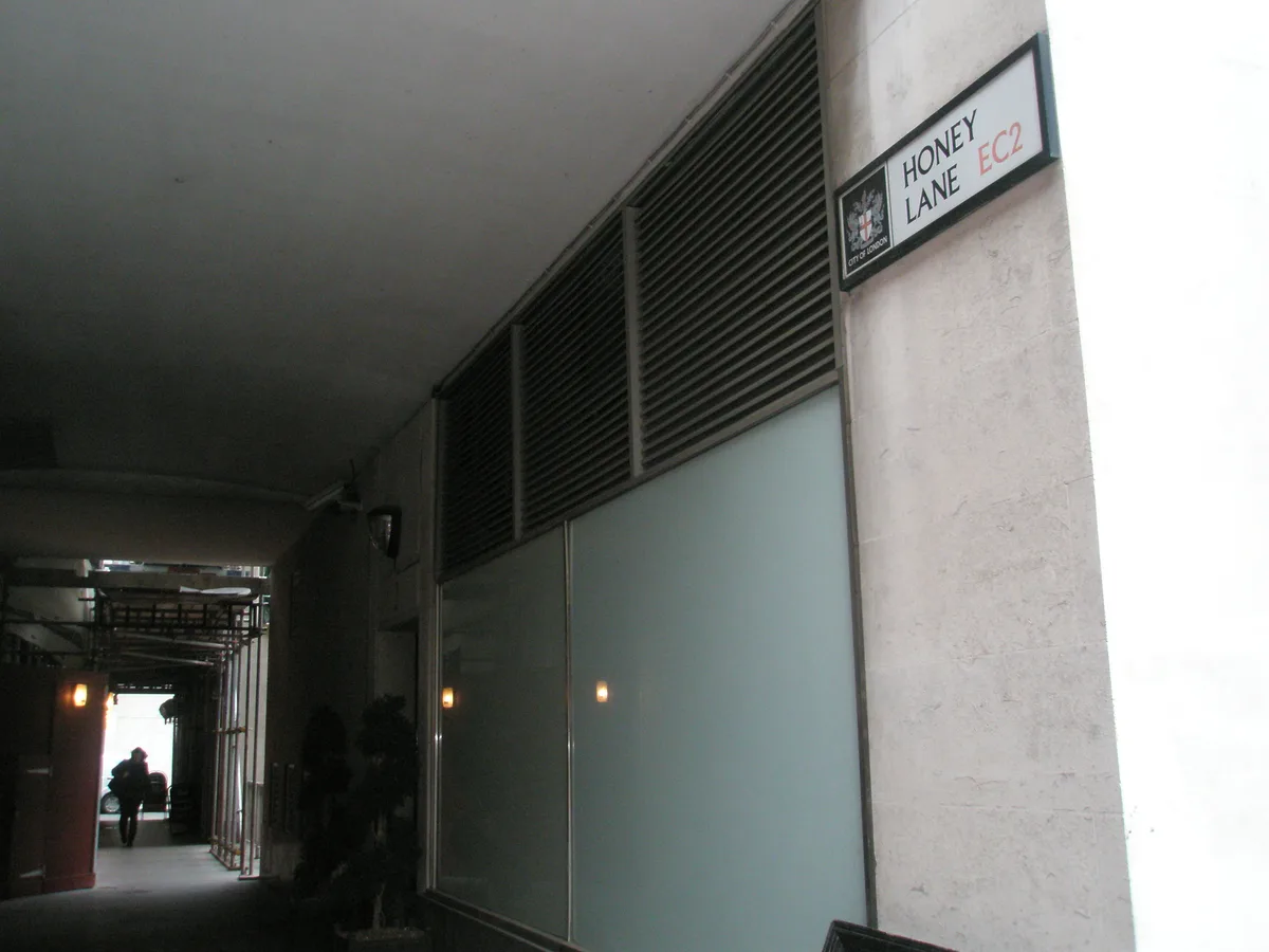 📷 5
Historic churches · London
All Hallows Honey Lane
All Hallows Honey Lane — church in City of London, UK.
Frequently asked questions
- Where is Bait-ul-Hadi?
- Bait-ul-Hadi is in Hertfordshire, London, United Kingdom (postcode WD18 9QD), in the parish of Watford, unparished area.
- What is Bait-ul-Hadi?
- Bait-ul-Hadi — a church in London, United Kingdom.
- How do I get to Bait-ul-Hadi?
- The nearest railway station is Watford, about 1.6 km away. The nearest town is Croxley Green. Drivers can use postcode WD18 9QD.
- Is Bait-ul-Hadi a protected site?
- Yes — Bait-ul-Hadi is part of the Chilterns National Landscape (AONB).
- Is Bait-ul-Hadi free to visit?
- Yes, Bait-ul-Hadi is free to enter.
- How do I get to Bait-ul-Hadi?
- The nearest railway station is Watford, about 1.6 km away. Drivers can navigate to postcode WD18 9QD.