Reservoirs & lochs · North East England
Backstone Bank and Baal Hill Woods
In or near Wolsingham.
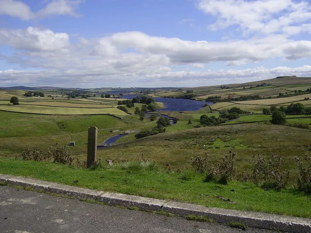
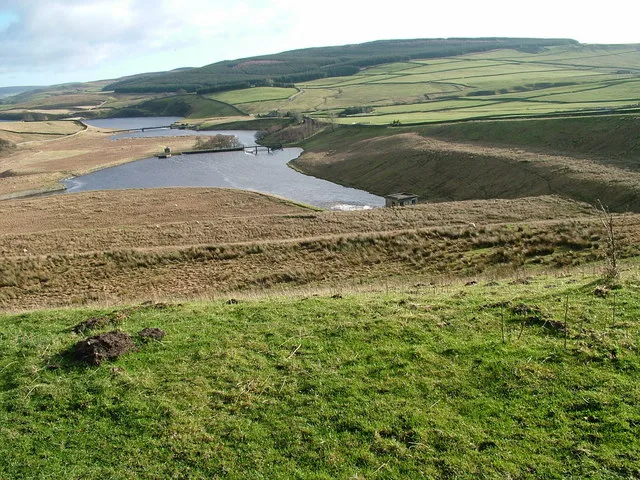
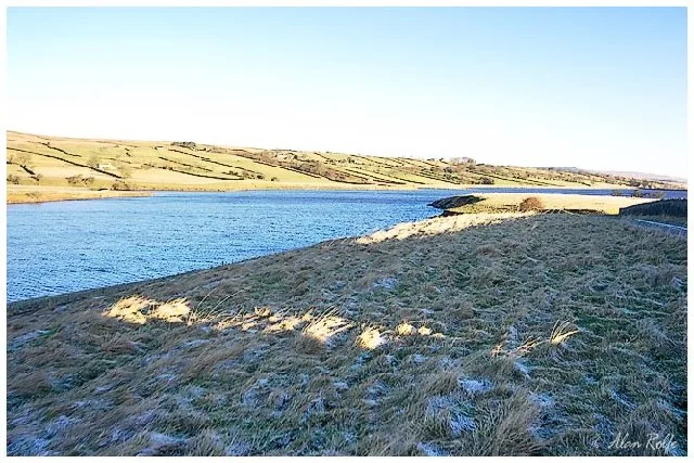
Backstone Bank and Baal Hill Woods in England North East, United Kingdom.

Trevor Littlewood — CC BY-SA 2.0 via Wikimedia Commons licence
Plan your visit
- Typical visit
- 1 h–2.5 h
- Nearest railway station
- Wolsingham · 3.9 km
- Free entry
- Dog-friendly
Getting there & planning your visit
To visit Backstone Bank and Baal Hill Woods, the nearest railway station is Wolsingham, which is approximately 3.9 km away. The postcode for sat-nav is DL13 3LU, and entry is free. The site is accessible, but please check local resources for specific accessibility details.
About
Backstone Bank and Baal Hill Woods is a place of interest in England North East, United Kingdom — drawn from open-data sources for visitor reference. See the linked Wikipedia article for the full description.
Photo gallery
Official information
Backstone Bank and Baal Hill Woods is a Site of Special Scientific Interest (SSSI) located in County Durham. It is recognized for its biological interest and features a variety of natural habitats and wildlife.
Protected designations
- Site of Special Scientific Interest: Backstone Bank and Baal Hill Woods SSSI
- Area of Outstanding Natural Beauty: North Pennines
Designations sourced from Natural England open data under OGL v3.
From the Wikipedia article
Backstone Bank and Baal Hill Woods is a Site of Special Scientific Interest in the County Durham district of Durham, England. It occupies the steep eastern slopes of the valley of Waskerley Beck, alongside and downstream of Tunstall Reservoir, some 3 km north of Wolsingham and is one of the largest expanses of semi-natural woodland in west Durham. The area once formed part of a much larger expanse, Wolsingham Park, which was owned by the prince bishops of Durham from the late 13th century, and was protected both for its deer and for its timber. The woodland, originally predominantly oak and birch, was managed by coppicing for both timber and charcoal, the latter supplying the smelting kilns of the local lead industry. Historical records show that the site has been woodland since at least the early 16th century, and one large oak, the "Bishop Oak", is thought to be around 400 years old. The woodland cover is very variable, being dependent on the soil and drainage. In wetter areas, alder, Alnus glutinosa, is dominant, over a ground cover that includes soft rush, Juncus effusus, meadowsweet, Filipendula ulmaria, and tufted hair-grass, Deschampsia cespitosa. In one side valley, there is a small population of small-leaved lime, Tilia cordata, which occurs here close to its northern limit and at an unusually high altitude. On base-rich soils, the woodland typically consists of ash, Fraxinus excelsior, and wych elm, Ulmus glabra, over an understorey of hazel, Corylus avellana, and bird cherry, Prunus padus, and a rich ground flora that includes lady-fern, Athyrium filix-femina, male fern, Dryopteris filix-mas, and hard shield-fern, Polystichum aculeatum. On more acid soils, sessile oak, Quercus petraea, and birch, Betula sp., are dominant. The under-storey, of hazel, holly, Ilex aquifolium, rowan, Sorbus aucuparia, and hawthorn, Crataegus monogyna, is sparse and the ground-cover is relatively poor. As well as a diverse fauna, the site supports a variety of breeding birds,…
Excerpt from Wikipedia under CC BY-SA 4.0. See the source article linked in Sources below.
- Coordinates
- 54.7606, -1.8950
- District
- County Durham
- Parish
- Wolsingham
- Postcode
- DL13 3LU
- Parliamentary constituency
- Bishop Auckland
- Established
- 1987
- Nearest railway station
- Wolsingham — 3.9 km
- Official site
- designatedsites.naturalengland.org.uk
Sources
- wikidata: Q4839761 (CC0)
- wikipedia: Backstone Bank and Baal Hill Woods (CC BY-SA 4.0)
Other places nearby

Tunstall Reservoir
Reservoirs & lochs · 0.4 km

Backstone Bank Depots
Historic houses · 1.7 km

High Doctor Pasture Caravan Park
Caravan parks · 2.1 km

Saltersgate Cottage railway station
Natural landmarks · 2.6 km

Bridge Over Thornhope Beck
Historic bridges · 2.8 km
Wolsingham School
Other places · 3.1 km

Medieval settlement
Archaeological sites · 3.1 km

Medieval settlement
Vineyards · 3.1 km

Wolsingham
Towns & cities · 3.4 km

Wolsingham War Memorial
Memorials & monuments · 3.5 km

Wolsingham Town Hall
Historic houses · 3.5 km

High Stoop railway station
Heritage railway stations · 3.5 km
Nearby
📷 3Reservoirs & lochs · North East England
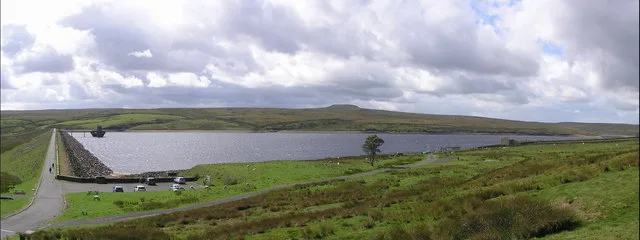
Tunstall Reservoir
Tunstall Reservoir — reservoir in County Durham, England, UK.
📷 3Historic houses · North East England
Backstone Bank Depots
Backstone Bank Depots — a historic house in scotland-lowlands, United Kingdom.
📷 5Caravan parks · North East England
High Doctor Pasture Caravan Park
High Doctor Pasture Caravan Park — a caravan park in scotland lowlands.
📷 3Natural landmarks · North East England
Saltersgate Cottage railway station
Saltersgate Cottage railway station in England North East, United Kingdom.
📷 3Historic bridges · North East England
Bridge Over Thornhope Beck
Bridge Over Thornhope Beck — Grade II listed building-listed bridge in scotland-lowlands, United Kingdom.
📷 4Other places · North East England
Wolsingham School
Wolsingham School in England North East, United Kingdom.
Where to eat & stay near Backstone Bank and Baal Hill Woods
Places to stay
📷 5Caravan parks · North East England
High Doctor Pasture Caravan Park
High Doctor Pasture Caravan Park — a caravan park in scotland lowlands.
 📷 5
📷 5Caravan parks · North East England
The Paddock Touring Park
The Paddock Touring Park — a caravan park in scotland lowlands.
 📷 5
📷 5Caravan parks · North East England
Holebeck Touring Caravan Park
Holebeck Touring Caravan Park — a caravan park in scotland lowlands.
 📷 5
📷 5Caravan parks · North East England
Bonners Lodge Caravan Park
Bonners Lodge Caravan Park — a caravan park in scotland lowlands.
 📷 5
📷 5Caravan parks · North East England
Frosterley Inn Caravan Park
Frosterley Inn Caravan Park — a caravan park in scotland lowlands.
 📷 5
📷 5Caravan parks · North East England
Betsdale Caravan Park
Betsdale Caravan Park — a caravan park in scotland lowlands.
Places to eat & drink
 📷 5
📷 5Historic pubs · North East England
Black Bull Public House
Black Bull Public House in Scotland Lowlands, United Kingdom.
 📷 3
📷 3 📷 4
📷 4Historic pubs · North East England
Delves Lane
Delves Lane in England North East, United Kingdom.
 📷 5
📷 5Historic pubs · North East England
Queens Head Public House
Queens Head Public House in Scotland Lowlands, United Kingdom.
 📷 5
📷 5Historic pubs · North East England
The Lord Crewe Arms Hotel
The Lord Crewe Arms Hotel in Scotland Lowlands, United Kingdom.
 📷 5
📷 5Cafés · North East England
The White Monk Tearoom
The White Monk Tearoom — a café in scotland lowlands.
More places in this region
 📷 2
📷 2Reservoirs & lochs · North East England
Balderhead Reservoir
Balderhead Reservoir — reservoir in County Durham, England, UK.
 📷 3
📷 3Reservoirs & lochs · North East England
Blackton Reservoir
Blackton Reservoir — reservoir in County Durham, England, UK.
 📷 5
📷 5Reservoirs & lochs · North East England
Grassholme Reservoir
Grassholme Reservoir — reservoir in County Durham, England, UK.
 📷 3
📷 3Reservoirs & lochs · North East England
Hury Reservoir
Hury Reservoir — reservoir in County Durham, England, UK.
Frequently asked questions
- Where is Backstone Bank and Baal Hill Woods?
- Backstone Bank and Baal Hill Woods is in North-East England, United Kingdom (postcode DL13 3LU), in the parish of Wolsingham.
- What is Backstone Bank and Baal Hill Woods?
- Backstone Bank and Baal Hill Woods in England North East, United Kingdom.
- How do I get to Backstone Bank and Baal Hill Woods?
- The nearest railway station is Wolsingham, about 3.9 km away. Drivers can use postcode DL13 3LU.
- When was Backstone Bank and Baal Hill Woods built?
- Built or established in 1987.
- Is Backstone Bank and Baal Hill Woods a protected site?
- Yes — Backstone Bank and Baal Hill Woods is part of the Backstone Bank and Baal Hill Woods SSSI Site of Special Scientific Interest and the North Pennines National Landscape (AONB).
- Is Backstone Bank and Baal Hill Woods free to visit?
- Yes, Backstone Bank and Baal Hill Woods is free to enter.
- How do I get to Backstone Bank and Baal Hill Woods?
- The nearest railway station is Wolsingham, about 3.9 km away. Drivers can navigate to postcode DL13 3LU.