Towns & cities · South Wales
Aust
Aust — village in South Gloucestershire, England.

Wikimedia Commons licence
Plan your visit
- Typical visit
- 3 h–6 h
- Nearest railway station
- Pilning · 4.8 km
- Free entry
- Family-friendly
- Dog-friendly
About
Aust is a town, city, village or settlement in the United Kingdom. Recent population estimates put it at around 513 people. Address: BS35. Wikidata describes it as: "village in South Gloucestershire, England". Coordinates: 51.5991°, -2.6179°.
Photo gallery
Protected designations
- Site of Special Scientific Interest: Aust Cliff SSSI
- Site of Special Scientific Interest: Severn Estuary SSSI
- Ramsar wetland: Severn Estuary
Designations sourced from Natural England open data under OGL v3.
From the Wikipedia article
Aust is a small village in South Gloucestershire, England, about 10 miles (16 km) north of Bristol and about 28 miles (45 km) south west of Gloucester. It is located on the eastern side of the Severn estuary, close to the eastern end of the Severn Bridge which carries the M48 motorway. The village has a chapel, a church and a public house. There is a large area of farmland on the river bank, which is sometimes flooded due to the high tidal range of the Severn. Aust Cliff, above the Severn, is located about 0.5 miles (0.80 km) from the village. The civil parish of Aust includes the villages of Elberton and Littleton-upon-Severn.
Excerpt from Wikipedia under CC BY-SA 4.0. See the source article linked in Sources below.
Background
Description
Aust, on the River Severn, was at one end of an ancient Roman road that led to Cirencester. Its name, Aust, may be one of the very few English place-names to be derived from the Latin Augusta.{{#tag:ref|An alternate theory is that it may be named after St Augustine's Oak, but that theory is discounted as a "weakened dative case", due to location and dates of name use. and the estate was held by Turstin FitzRolf in 1066. In 1368 the area was called Augst, "the short unmistakable form of Augusta. Historically Aust was a village and manor in the parish of Henbury.
Sourced from Wikipedia under CC BY-SA 4.0.
- Coordinates
- 51.5991, -2.6179
- District
- South Gloucestershire
- Parish
- Aust
- Postcode
- BS35
- Parliamentary constituency
- Thornbury and Yate
- Population
- 513
- Nearest railway station
- Pilning — 4.8 km
- Official site
- neighbourhood.statistics.gov.uk
Sources
Other places nearby
Loading nearby places…
Nearby
 📷 3
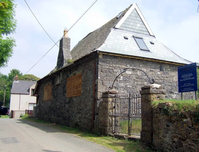
📷 3Memorials & monuments · South Wales
Welcome To Aust
Welcome To Aust — a memorial in wales-south, United Kingdom.
 📷 5
📷 5Historic pubs · South Wales
The Boar's Head
The Boar's Head in Wales South, United Kingdom.
 📷 5
📷 5Caravan parks · South Wales
Cliff Farm
Cliff Farm — a caravan park in wales south.
 📷 5
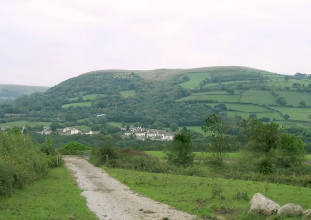
📷 5Mountains & hills · South Wales
Aust Cliff
Aust Cliff — a hill or mountain in wales south.
 📷 5
📷 5Natural landmarks · South Wales
Aust Cliff
Aust Cliff — natural landmark in wales south.
 📷 5
📷 5Mountains & hills · South West England
Red Hill
Red Hill — mountain in england south west.
Where to eat & stay near Aust
Places to stay
📷 5Caravan parks · South Wales
Cliff Farm
Cliff Farm — a caravan park in wales south.
 📷 5
📷 5Caravan parks · South Wales
Vine Farm Caravan Park
Vine Farm Caravan Park — a caravan park in wales south.
 📷 5
📷 5Campsites · South West England
Woodhouse Park Activity Centre
Woodhouse Park Activity Centre — a campsite in england south west.
 📷 5
📷 5Hotels · South Wales
St Pierre Country Club
St Pierre Country Club — a hotel in wales south.
 📷 5
📷 5Campsites · South Wales
The Wave Campsite
The Wave Campsite — a campsite in wales south.
 📷 5
📷 5B&Bs · South Wales
Woodfield Arms
Woodfield Arms — a bed-and-breakfast in wales south.
Places to eat & drink
📷 5Historic pubs · South Wales
The Boar's Head
The Boar's Head in Wales South, United Kingdom.
 📷 5
📷 5Restaurants · South Wales
Mint & Mustard
Mint & Mustard — a restaurant in wales south.
 📷 5
📷 5Historic pubs · South Wales
Beaufort Hotel
Beaufort Hotel in Wales South, United Kingdom.
 📷 5
📷 5Restaurants · South Wales
route 66
route 66 — a restaurant in wales south.
 📷 5
📷 5Restaurants · West Midlands
Thai Basil
Thai Basil — a restaurant in england west midlands.
 📷 5
📷 5Restaurants · West Midlands
Casa
Casa — a restaurant in england west midlands.
More towns in this region
 📷 4
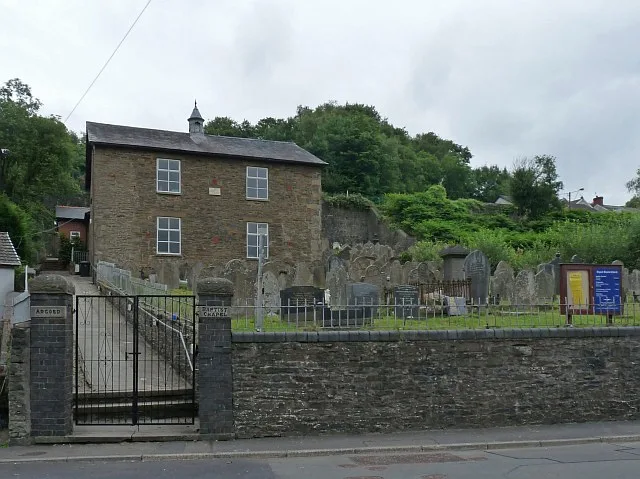
📷 4Towns & cities · South Wales
Argoed
Argoed — village and community in Caerphilly County Borough, Wales.
 Flagship📷 3
Towns & cities · South Wales
Betws
Betws — village and community in Carmarthenshire, Wales.
 Flagship📷 5
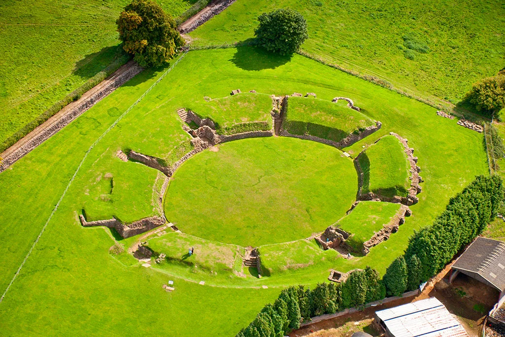
Towns & cities · South Wales
Caerleon
Caerleon — village and community in Newport, Wales, UK.
 Flagship📷 3
Towns & cities · South Wales
Camrose
Camrose — village and community in Pembrokeshire, Wales, UK.
Frequently asked questions
- Where is Aust?
- Aust is in South Wales, United Kingdom (postcode BS35), in the parish of Aust.
- What is Aust?
- Aust — village in South Gloucestershire, England.
- How do I get to Aust?
- The nearest railway station is Pilning, about 4.8 km away. Drivers can use postcode BS35.
- Is Aust a protected site?
- Yes — Aust is part of the Aust Cliff SSSI Site of Special Scientific Interest and the Severn Estuary SSSI Site of Special Scientific Interest.
- Is Aust free to visit?
- Yes, Aust is free to enter.
- How do I get to Aust?
- The nearest railway station is Pilning, about 4.8 km away. Drivers can navigate to postcode BS35.