
Historic churches · Central Scotland
Auchtertool Parish Church
In or near Auchtertool.
Auchtertool Parish Church — category C listed building-listed church in scotland-central, United Kingdom.

Bill Kasman — CC BY-SA 2.0 via Wikimedia Commons licence

Plan your visit
- Typical visit
- 30 min–1 h
- Nearest railway station
- Cowdenbeath · 4.5 km
- Free entry
Getting there & planning your visit
To visit Auchtertool Parish Church, the nearest railway station is Cowdenbeath, which is 4.5 km away. The postcode for sat-nav is KY2 5XQ, and entry to the church is free.
About
Auchtertool Parish Church is a category C listed building-listed church in scotland-central, United Kingdom, registered on the Historic Environment Scotland register (entry LB3668). Listed status protects buildings and structures of special architectural or historic interest. See the linked Wikipedia article for further details.
Photo gallery
Heritage listing
Category C Date Added 10/09/1979 Local Authority Fife Planning Authority Fife Parish Auchtertool NGR NT 20764 90187 Coordinates 320764, 690187 — Reconstructed 1833, incorporating earlier fabric (see Notes); Rev William Stevenson, N aisle 1905-6. Rectangular-plan plain gothic church with lean-to N aisle, 2 battlemented porches and octagonal ashlar birdcage bellcote. Squared rubble, heavily dressed porches; droved ashlar margins and voussoirs. Tudor-arched openings to original building, pointed-arch openings to N aisle and porches. Chamfered reveals, stone tracery. S (PRINCIPAL) ELEVATION: symmetrical. Window to centre bay flanked by battlemented porches each with panelled timber door, and further windows to outer bays. W ELEVATION: gabled elevation with centre window and corbelled, finialled belfry with bell (dated 1887) at gablehead. N ELEVATION: lean-to aisle to right with 3 windows, that to centre with keystone dated 1906; and lower set-back lean-to porch to left with boarded timber door below keystone dated 1898, and window to outer left. E ELEVATION: full-width, coped and battered, deep base course (earlier fabric?) giving way to traceried window and Forbes family coat of arms in gablehead. Stained glass windows (see Interior). Slated. Ashlar-coped skews with block skewputts. INTERIOR: fixed timber pews (some box pews) and boarded dado. Scallop-capitalled Romanesque arcade to N aisle with classical mural memorials to Rev Walter Welsh and James Watt, farmer of Balbarton. Raised chancel with carved gothic screen and pulpit, octagonal stone font, and fine stencilled pipe organ and console (see Notes) to N. Traceried E window with Ss Andrew and John, memorial to Major General Liddell: WWI War Memorial to SE window with WWII plaque. — Ecclesiastical building in use as su
From Historic Environment Scotland under OGL v3.
Place summary
Auchtertool Parish Church is a church located in central Scotland. It is recognised as a category C listed building, highlighting its architectural and historical significance within the region.
AI-generated from the structured facts on this page (operator, designation, listing, era). Not a substitute for visiting.
- Coordinates
- 56.0979, -3.2753
- District
- Fife
- Postcode
- KY2 5XQ
- Parliamentary constituency
- Cowdenbeath and Kirkcaldy
- Nearest railway station
- Cowdenbeath — 4.5 km
Sources
- wikidata: Q56614935 (CC0)
Other places nearby

Jean Patterson Memorial
Memorials & monuments · 0.0 km

Cowdenbeath and Kirkcaldy
Cathedrals · 0.2 km

Raith Hill
Mountains & hills · 0.5 km

Castle Hill
Mountains & hills · 0.7 km
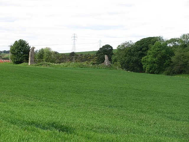
Hallyards Palace
Castles · 1.3 km

Balmuto Castle
Castles · 1.4 km
Balmuto Castle
Castles · 1.4 km

Auchtertool
Towns & cities · 1.6 km

Balmuto Bridge
Historic bridges · 1.6 km

Mossmorran
Other places · 1.7 km

Pilkham Hills
Mountains & hills · 1.9 km

Mourn House
Historic houses · 1.9 km
Nearby
📷 3Memorials & monuments · Central Scotland
Jean Patterson Memorial
Jean Patterson Memorial — a memorial in scotland-central, United Kingdom.
Flagship📷 4Cathedrals · Central Scotland
Cowdenbeath and Kirkcaldy
Cowdenbeath and Kirkcaldy in Scotland Islands, United Kingdom.
📷 5Mountains & hills · Central Scotland
Raith Hill
Raith Hill — mountain in scotland central. Elevation: 169 m.
📷 5Mountains & hills · Central Scotland
Castle Hill
Castle Hill — mountain in scotland central. Elevation: 131 m.
📷 3📷 5Castles · Central Scotland
Balmuto Castle
Balmuto Castle — a castle in scotland-central, United Kingdom.
Where to eat & stay near Auchtertool Parish Church
Places to stay
 📷 5
📷 5B&Bs · Central Scotland
Links Guest House
Links Guest House — a bed-and-breakfast in scotland central.
 📷 5
📷 5Caravan parks · Central Scotland
Pettycur Bay Holiday Park
Pettycur Bay Holiday Park — a caravan park in scotland central.
 📷 5
📷 5Caravan parks · Central Scotland
Sandhills Caravan Park
Sandhills Caravan Park — a caravan park in scotland central.
 📷 5
📷 5Caravan parks · Central Scotland
Lochore Meadows Motorhome Parking
Lochore Meadows Motorhome Parking — a caravan park in scotland central.
 📷 5
📷 5Caravan parks · Central Scotland
Kinghorn Harbour Holiday Park
Kinghorn Harbour Holiday Park — a caravan park in scotland central.
 📷 5
📷 5Campsites · Central Scotland
Green Oak Nature Retreat
Green Oak Nature Retreat — a campsite in scotland central.
Places to eat & drink
 📷 5
📷 5Historic pubs · Central Scotland
The Star Tavern, 71-73 High Street, Burntisland
The Star Tavern, 71-73 High Street, Burntisland in Scotland Central, United Kingdom.
 📷 5
📷 5Historic pubs · Central Scotland
The Robert Nairn
The Robert Nairn in Scotland Central, United Kingdom.
 📷 7
📷 7Historic pubs · Central Scotland
The Royal Scot, 395-399 High Street, Kirkcaldy
The Royal Scot, 395-399 High Street, Kirkcaldy in Scotland Central, United Kingdom.
 📷 7
📷 7Historic pubs · Central Scotland
461 and 463 High Street, Kirkcaldy
461 and 463 High Street, Kirkcaldy in Scotland Central, United Kingdom.
 📷 5
📷 5Historic pubs · Central Scotland
Feuars Arms, 66-68 Commercial Street, Kirkcaldy
Feuars Arms, 66-68 Commercial Street, Kirkcaldy in Scotland Central, United Kingdom.
 📷 6
📷 6Historic pubs · Central Scotland
The Burgh Arms
The Burgh Arms in Scotland Islands, United Kingdom.
More places in this region
 📷 5
📷 5Historic churches · Central Scotland
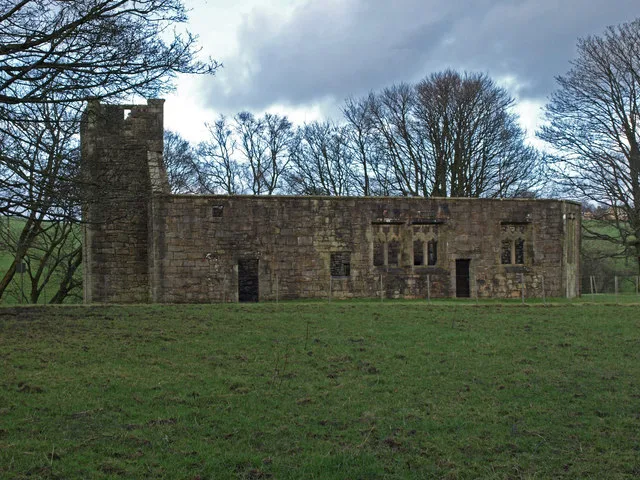
Castle Semple Collegiate Church
Castle Semple Collegiate Church — church building in Renfrewshire, Scotland, UK.
 📷 3
📷 3Historic churches · Central Scotland
Chapel of St Fyndoca, Inishail
Chapel of St Fyndoca, Inishail — architectural structure in Argyll and Bute, Scotland, UK.
 📷 3
📷 3Historic churches · Central Scotland
Chapel of St. Oran, Colonsay
Chapel of St. Oran, Colonsay — chapel on Colonsay, Argyll and Bute, Scotland, UK.
 📷 3
📷 3Historic churches · Central Scotland
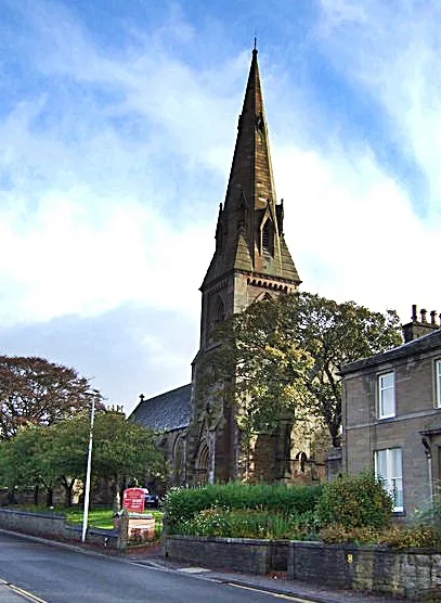
Church of St Mary the Virgin, Arbroath
Church of St Mary the Virgin, Arbroath — church in Arbroath, UK.
Frequently asked questions
- Where is Auchtertool Parish Church?
- Auchtertool Parish Church is in central Scotland, United Kingdom (postcode KY2 5XQ).
- What is Auchtertool Parish Church?
- Auchtertool Parish Church — category C listed building-listed church in scotland-central, United Kingdom.
- How do I get to Auchtertool Parish Church?
- The nearest railway station is Cowdenbeath, about 4.5 km away. Drivers can use postcode KY2 5XQ.
- Is Auchtertool Parish Church a listed building?
- Auchtertool Parish Church is officially recognised as category C listed building listed.
- Is Auchtertool Parish Church free to visit?
- Yes, Auchtertool Parish Church is free to enter.
- How do I get to Auchtertool Parish Church?
- The nearest railway station is Cowdenbeath, about 4.5 km away. Drivers can navigate to postcode KY2 5XQ.