
Mountains & hills · Scottish Lowlands
Auchinlongford Hill
In or near Catrine.
Auchinlongford Hill — mountain in scotland central. Elevation: 417 m.

Alan O'Dowd — CC BY-SA 2.0 via Wikimedia Commons licence

Plan your visit
- Typical visit
- 3 h–8 h
- Best time of year
- Late spring – early autumn (May–Oct)
- Nearest railway station
- Auchinleck · 8.9 km
- Dog-friendly
About
Auchinlongford Hill is a mountain located in scotland central. Elevation: 417 m. A named British peak recorded in OpenStreetMap. Peaks are typically named on Ordnance Survey 1:50k mapping.
Photo gallery
Place summary
Auchinlongford Hill is a mountain located in central Scotland. It offers a range of outdoor activities, including hiking and nature walks. The area is characterised by its rugged terrain and scenic views, appealing to outdoor enthusiasts and those seeking solitude in a natural setting. The hill provides opportunities for exploration and appreciation of the Scottish landscape.
AI-generated from the structured facts on this page (operator, designation, listing, era). Not a substitute for visiting.
- Coordinates
- 55.5404, -4.2282
- Nearest railway station
- Auchinleck — 8.9 km
Sources
- osm: n538537496 (ODbL)
Other places nearby

Wedder Hill
Mountains & hills · 1.2 km
Blackside
Mountains & hills · 1.2 km
Little Wedder Hill
Mountains & hills · 1.2 km
Glen Garr
Mountains & hills · 1.4 km

Little Hartmidden
Mountains & hills · 3.0 km

Garpel Linn
Waterfalls · 3.2 km

Distinkhorn
Mountains & hills · 3.3 km

Garpel Bridge
Historic bridges · 3.9 km

Greenockmains Bridge
Historic bridges · 4.3 km

Airds Moss Special Area of Conservation
Wildlife reserves · 4.9 km

Sorn New Bridge
Historic bridges · 5.1 km

Sorn
Villages · 5.1 km
Nearby
📷 5Mountains & hills · Scottish Lowlands
Wedder Hill
Wedder Hill — mountain in scotland central. Elevation: 434 m.
📷 5📷 5Mountains & hills · Scottish Lowlands
Little Wedder Hill
Little Wedder Hill — mountain in scotland central. Elevation: 408 m.
📷 5Mountains & hills · Scottish Lowlands
Glen Garr
Glen Garr — mountain in scotland central. Elevation: 430 m.
📷 5Mountains & hills · Scottish Lowlands
Little Hartmidden
Little Hartmidden — mountain in scotland central. Elevation: 352 m.
📷 3Where to eat & stay near Auchinlongford Hill
Places to stay
 📷 5
Campsites · Scottish Lowlands
Catrine House Caravan and Camping
Catrine House Caravan and Camping — a campsite in scotland lowlands.
 📷 5
Caravan parks · Scottish Lowlands
Sundrum Castle Holiday Park
Sundrum Castle Holiday Park — a caravan park in scotland lowlands. Brand: Parkdean Resorts.
 📷 5
Hotels · Scottish Lowlands
Crutherland House Hotel
Crutherland House Hotel — a hotel in scotland central.
 📷 5
Caravan parks · Scottish Lowlands
Dutch House Caravan Park
Dutch House Caravan Park — a caravan park in scotland highlands.
📷 5Caravan parks · Scottish Lowlands
Dutch House Caravan Park
Dutch House Caravan Park — a caravan park in scotland highlands.
Places to eat & drink
 📷 5
Historic pubs · Scottish Lowlands
Loudoun Arms, 69 Main Street, Newmilns
Loudoun Arms, 69 Main Street, Newmilns in Scotland Central, United Kingdom.
 📷 5
Historic pubs · Scottish Lowlands
The Sun Inn, 23 The Square, Cumnock
The Sun Inn, 23 The Square, Cumnock in Scotland Lowlands, United Kingdom.
 📷 7
Historic pubs · Scottish Lowlands
Commercial Inn, 1-3 Mill Street, Ochiltree
Commercial Inn, 1-3 Mill Street, Ochiltree in Scotland Lowlands, United Kingdom.
 📷 5
Historic pubs · Scottish Lowlands
The Clansman, 58, 60, 62 John Finnie Street, Kilmarnock
The Clansman, 58, 60, 62 John Finnie Street, Kilmarnock in Scotland Central, United Kingdom.
 📷 7
Historic pubs · Scottish Lowlands
Weston Tavern
Weston Tavern in Scotland Central, United Kingdom.
 📷 7
Historic pubs · Scottish Lowlands
Queensberry Arms Hotel
Queensberry Arms Hotel in Scotland Lowlands, United Kingdom.
More mountains in this region
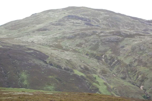 📷 3
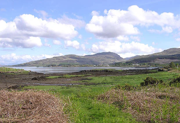 📷 5
Mountains & hills · Scottish Lowlands
Aros Bay
Aros Bay — bay on Islay, Argyll and Bute, Scotland, UK.
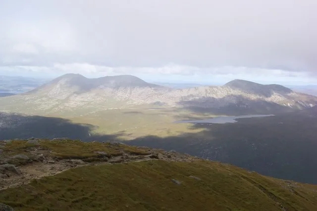 📷 3
Mountains & hills · Scottish Lowlands
Beinn Bharrain
Beinn Bharrain — Named summit at 717 m.
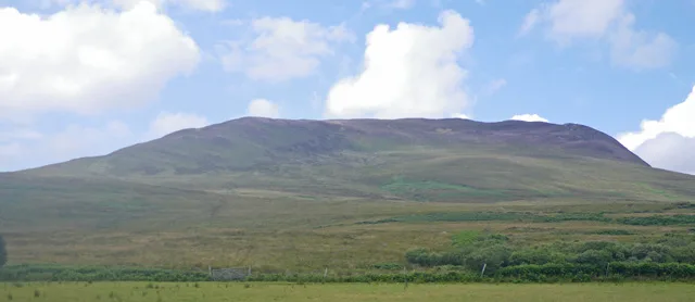 📷 5
Frequently asked questions
- Where is Auchinlongford Hill?
- Auchinlongford Hill is in the Scottish Lowlands, United Kingdom.
- What is Auchinlongford Hill?
- Auchinlongford Hill — mountain in scotland central. Elevation: 417 m.
- How do I get to Auchinlongford Hill?
- The nearest railway station is Auchinleck, about 8.9 km away. The nearest town is Catrine. Its coordinates are 55.5404°, -4.2282°.