
Museums · North West England
Arley, Cheshire
In or near Appleton Thorn.
Arley is a small village in the civil parish of Aston by Budworth, Cheshire, England, adjacent to Arley Hall. 0.7 miles (1.1 km) to the east is a small group of houses known as Arley Green. The villag

Anthony O'Neil — CC BY-SA 2.0 via Wikimedia Commons licence

Plan your visit
- Typical visit
- 1.5 h–3 h
- Best time of year
- Year-round
- Nearest railway station
- Lostock Gralam · 6.6 km
- Family-friendly
- Limited wheelchair access
Getting there & planning your visit
To visit Arley, Cheshire, the nearest railway station is Lostock Gralam, located 6.6 km away. The postcode for sat-nav is CW9 6LZ. Please note that accessibility is limited for wheelchair users.
About
Arley is a small village in the civil parish of Aston by Budworth, Cheshire, England, adjacent to Arley Hall. 0.7 miles (1.1 km) to the east is a small group of houses known as Arley Green. The village is 3.8 miles (6.1 km) south of Lymm and 5 miles (8.0 km) north of Northwich. The buildings now comprising Arley Green originally formed Cowhouse Farm. Rowland Egerton-Warburton converted the half-timbered barn into a school and adapted another 18th-century building into a terrace of Tudor-style buildings. The farmhouse was converted into a parsonage.
Photo gallery
Official information
Arley Hall & Gardens is a historic estate located in Cheshire, featuring beautifully landscaped gardens and a grand hall. Visitors can explore the extensive grounds and enjoy the scenic beauty of the area.
From the Wikipedia article
Arley is a small village in the civil parish of Aston by Budworth, Cheshire, England, adjacent to Arley Hall. 0.7 miles (1.1 km) to the east is a small group of houses known as Arley Green. The village is 3.8 miles (6.1 km) south of Lymm and 5 miles (8.0 km) north of Northwich. The buildings now comprising Arley Green originally formed Cowhouse Farm. Rowland Egerton-Warburton converted the half-timbered barn into a school and adapted another 18th-century building into a terrace of Tudor-style buildings. The farmhouse was converted into a parsonage.
Excerpt from Wikipedia under CC BY-SA 4.0. See the source article linked in Sources below.
- Coordinates
- 53.3240, -2.4960
- District
- Cheshire East
- Parish
- Aston by Budworth
- Postcode
- CW9 6LZ
- Parliamentary constituency
- Tatton
- Phone
- (+44) 01565 777353
- Nearest railway station
- Lostock Gralam — 6.6 km
- Official site
- www.arleyhallandgardens.com
Sources
- wikipedia: Arley, Cheshire (CC BY-SA 4.0)
Other places nearby

Arley Hall and Gardens
Gardens · 0.4 km

Arley Hall
Chapels · 0.5 km
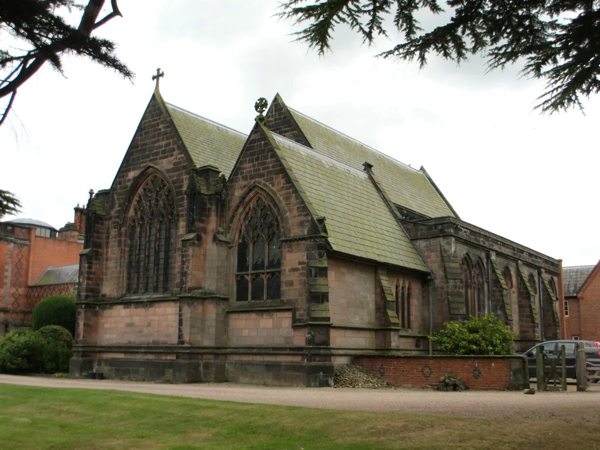
St Mary's Chapel, Arley
Historic churches · 0.5 km

Arley Green School and Arley Green Lodge
Natural landmarks · 1.1 km
Stockley Farm
Farms (open to visitors) · 1.2 km

Cransley School
Natural landmarks · 2.7 km

St Mark's Church, Antrobus
Historic churches · 2.9 km

Belmont Hall
Historic houses · 3.0 km

Methodist Church, Great Budworth
Historic houses · 3.3 km

George and Dragon, Great Budworth
Historic houses · 3.4 km

George and Dragon, Great Budworth
Historic pubs · 3.4 km

Lychgate to Churchyard of St Mary and All Angels
Memorials & monuments · 3.4 km
Nearby
📷 3Gardens · North West England
Arley Hall and Gardens
Arley Hall and Gardens — a garden in england-west-midlands, United Kingdom.
📷 4Chapels · North West England
Arley Hall
Arley Hall is a country house in the village of Arley, Cheshire, England, about 4 miles (6 km) south of Lymm and 5 miles (8 km) north of Northwich. It is home to the owner, Viscount Ashbrook, and his
📷 3Historic churches · North West England
St Mary's Chapel, Arley
St Mary's Chapel, Arley — church in Cheshire East, Cheshire, England, UK.
📷 5Natural landmarks · North West England
Arley Green School and Arley Green Lodge
Arley Green School and Arley Green Lodge — a school heritage in england-west-midlands, United Kingdom.
📷 3Farms (open to visitors) · North West England
Stockley Farm
Stockley Farm — a other in england-west-midlands, United Kingdom.
📷 5Natural landmarks · North West England
Cransley School
Cransley School — a school heritage in england-west-midlands, United Kingdom.
Where to eat & stay near Arley, Cheshire
Places to stay
 📷 5
📷 5Caravan parks · North West England
Pickmere Lake Caravan Park
Pickmere Lake Caravan Park — a caravan park in england west midlands.
 📷 5
📷 5Caravan parks · North West England
Canal Bank Farm caravan site
Canal Bank Farm caravan site — a caravan park in england west midlands.
 📷 5
📷 5Caravan parks · North West England
Agden Brow Caravan Park
Agden Brow Caravan Park — a caravan park in england west midlands.
 📷 5
📷 5 📷 5
📷 5Caravan parks · North West England
Woodbine Caravan Park
Woodbine Caravan Park — a caravan park in england west midlands.
 📷 5
📷 5Campsites · North West England
Tatton Park Scout Campsite
Tatton Park Scout Campsite — a campsite in england west midlands.
Places to eat & drink
📷 5Historic pubs · North West England
George and Dragon, Great Budworth
George and Dragon, Great Budworth in England North West, United Kingdom.
 📷 5
📷 5Restaurants · North West England
Galleries Cafe
Galleries Cafe — a restaurant in wales north.
 📷 7
📷 7 📷 3
📷 3Historic pubs · North West England
Tricorn
Tricorn — Historic pub — listed building or notable heritage status.
 📷 5
📷 5Historic pubs · North West England
Castle Hotel, Halton
Castle Hotel, Halton in Wales North, United Kingdom.
 📷 5
📷 5Historic pubs · North West England
The Norton Arms Public House
The Norton Arms Public House in Wales North, United Kingdom.
More museums in this region
 📷 3
📷 3Museums · North West England
Cube Gallery
Cube Gallery — former architecture museum in Manchester, England.
 📷 3
📷 3Museums · North West England
Cuckooland Museum
Cuckooland Museum — horological museum in England, UK.
 📷 4
📷 4Museums · North West England
Elizabeth Gaskell's House
Elizabeth Gaskell's House — museum in Manchester.
 📷 3
📷 3Museums · North West England
Englesea Brook Chapel and Museum of Primitive Methodism
Englesea Brook Chapel and Museum of Primitive Methodism — Primitive Methodist chapel and museum, United Kingdom.
Frequently asked questions
- Where is Arley, Cheshire?
- Arley, Cheshire is in the West Midlands, United Kingdom (postcode CW9 6LZ), in the parish of Aston by Budworth.
- What is Arley, Cheshire?
- Arley is a small village in the civil parish of Aston by Budworth, Cheshire, England, adjacent to Arley Hall. 0.7 miles (1.1 km) to the east is a small group of houses known as Arley Green. The villag
- How do I get to Arley, Cheshire?
- The nearest railway station is Lostock Gralam, about 6.6 km away. Drivers can use postcode CW9 6LZ.
- How do I get to Arley, Cheshire?
- The nearest railway station is Lostock Gralam, about 6.6 km away. Drivers can navigate to postcode CW9 6LZ.