
Natural landmarks · North Wales
Arenig Fach
Arenig Fach — mountain (689m) in Gwynedd.

Wikimedia Commons contributors — see linked file page for photographer and licence licence

Plan your visit
- Typical visit
- 1 h–2 h
- Free entry
- Dog-friendly
About
Arenig Fach is a named natural landmark in the United Kingdom. Wikidata describes it as: "mountain (689m) in Gwynedd". Coordinates: 52.9583°, -3.7569°.
Photo gallery
From the Wikipedia article
Arenig Fach is a mountain in southern Snowdonia, north Wales. It is a peak in the Arenig range and lies to the north of its parent peak Arenig Fawr. It lies close to Llyn Celyn alongside the A4212 between Trawsfynydd and Bala. Carnedd y Filiast and Foel Goch (Arenigs) is to the east, while Moel Llyfnant, Gallt y Daren and Arenig Fawr are to the south. The summit itself is known as Carnedd Bachgen, named after the ancient cairn, Carnedd y Bachgen (which lies just north-east of the summit), and is the highest point at the north end of a wide plateau. There is a trig point and a substantial shelter cairn. The mountain rises from the Migneint moorland and looks like a bulky heathery "lump" from most directions. However, its north-eastern face has steep cliffs with a small corrie lake, Llyn Arenig Fach, at their bottom. The last glacier occupation of this corrie is thought to have happened during the Loch Lomond Stadial.
Excerpt from Wikipedia under CC BY-SA 4.0. See the source article linked in Sources below.
- Coordinates
- 52.9583, -3.7569
- District
- Gwynedd
- Parish
- Llanycil
- Postcode
- LL23 7PA
- Parliamentary constituency
- Dwyfor Meirionnydd
Sources
- wikidata: Q4789021 (CC0)
- wikipedia: Arenig Fach (CC BY-SA 4.0)
- commons: Moorland above Llyn Arenig Fach 779212.jpg (CC BY-SA 4.0)
Other places nearby
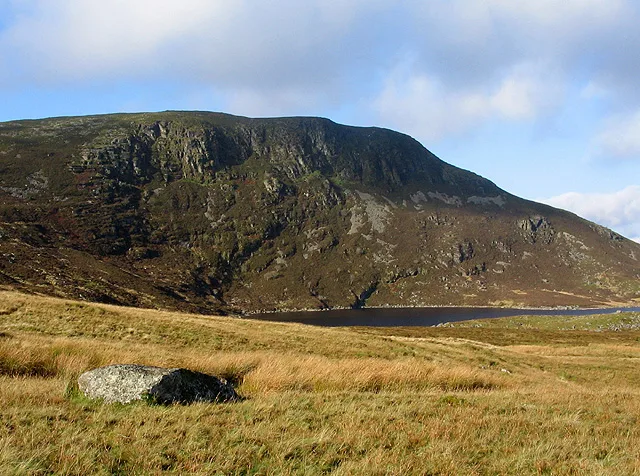
Arenig Fach
Mountains & hills · 0.1 km

Llyn Arenig Fach
Reservoirs & lochs · 0.7 km

Y Foel
Mountains & hills · 1.0 km

Mochowgryn
Mountains & hills · 1.7 km

Shelter
Historic houses · 1.9 km
North Dressing Floor
Historic houses · 1.9 km

Ffridd Maes-Y-Tail
Mountains & hills · 1.9 km
South Dressing Floor
Historic houses · 1.9 km

Foel-Wen
Mountains & hills · 2.0 km

Pont Rhyd-y-Fen
Historic bridges · 2.2 km

Pont y Porthmyn
Historic bridges · 2.4 km

Arenig quarry
Quarries · 2.6 km
Nearby
📷 3📷 3Reservoirs & lochs · North Wales
Llyn Arenig Fach
Llyn Arenig Fach is a reservoir in the United Kingdom.
📷 5📷 3Mountains & hills · North Wales
Mochowgryn
Mochowgryn — a mountain in wales-north, United Kingdom, 496 m.
📷 3📷 3Historic houses · North Wales
North Dressing Floor
North Dressing Floor — a historic house in North Wales, United Kingdom.
Where to eat & stay near Arenig Fach
Places to stay
 📷 5
📷 5 📷 5📷 5
 📷 5
📷 5 📷 5
📷 5Hostels · North Wales
Treks Bunkhouse
Treks Bunkhouse — a hostel in wales north.
 📷 5
📷 5Places to eat & drink
 📷 7
📷 7Restaurants · North Wales
Palé Hall Hotel Restaurant
Palé Hall Hotel Restaurant — a restaurant in wales north. Cuisine: welsh;british;fine dining. 5-star.
More natural landmarks in this region
 Flagship📷 5
Natural landmarks · North Wales
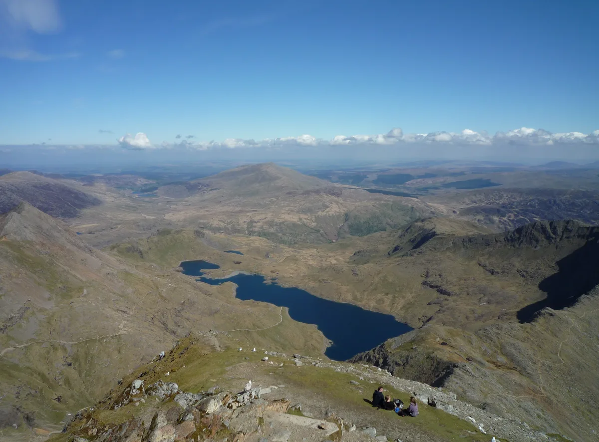
Llyn Llydaw
Llyn Llydaw is a natural landmark in the United Kingdom.
 📷 5
📷 5Natural landmarks · North Wales
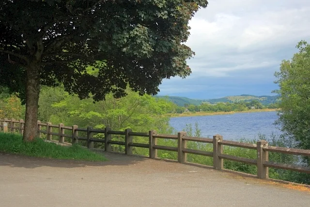
Llyn Tegid
Llyn Tegid is a natural landmark in the United Kingdom.
 📷 3
📷 3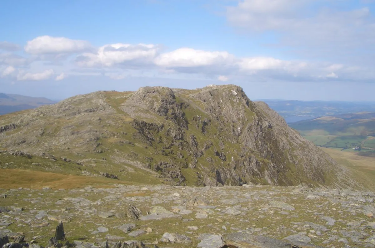 📷 3
📷 3Natural landmarks · North Wales
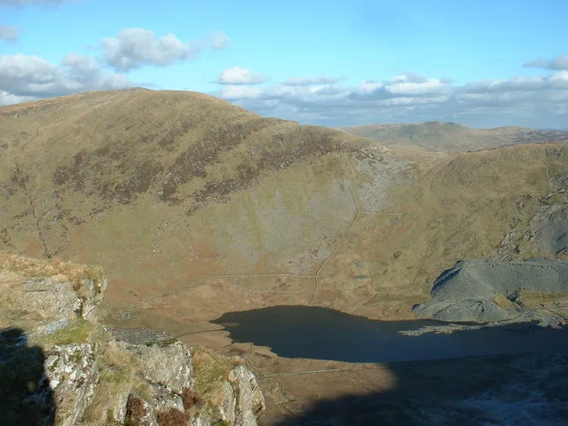
Aran Benllyn
Aran Benllyn — mountain (885m) in Gwynedd.
Frequently asked questions
- Where is Arenig Fach?
- Arenig Fach is in North Wales, United Kingdom (postcode LL23 7PA), in the parish of Llanycil.
- What is Arenig Fach?
- Arenig Fach — mountain (689m) in Gwynedd.
- How do I get to Arenig Fach?
- Drivers can use postcode LL23 7PA.
- Is Arenig Fach free to visit?
- Yes, Arenig Fach is free to enter.
- How do I get to Arenig Fach?
- Drivers can navigate to postcode LL23 7PA. It sits within the Dwyfor Meirionnydd parliamentary constituency.