
Castles · South East England
Ardley Castle
In or near Chesterton.
Ardley Castle is a castle in the United Kingdom.

Michael — CC BY-SA 2.0 via Wikimedia Commons licence

Plan your visit
- Typical visit
- 1.5 h–3 h
- Nearest railway station
- Heyford · 6.2 km
- Free entry
- Family-friendly
- Limited wheelchair access
Getting there & planning your visit
To visit Ardley Castle, the nearest railway station is Heyford, which is 6.2 km away. The postcode for sat-nav is OX27 7NS. Accessibility is limited for wheelchair users.
About
Ardley Castle is a castle in the United Kingdom — fortified architecture from the medieval, Tudor, or Victorian-revival period. Coordinates: 51.9419°, -1.2173°.
Photo gallery
Official information
Ardley Wood Quarry is a nature reserve featuring geological and historical significance, including medieval earthworks. Visitors can explore diverse habitats that support a variety of wildlife, particularly butterflies and seasonal flora.
Protected designations
- Site of Special Scientific Interest: Ardley Cutting and Quarry SSSI
Designations sourced from Natural England open data under OGL v3.
From the Wikipedia article
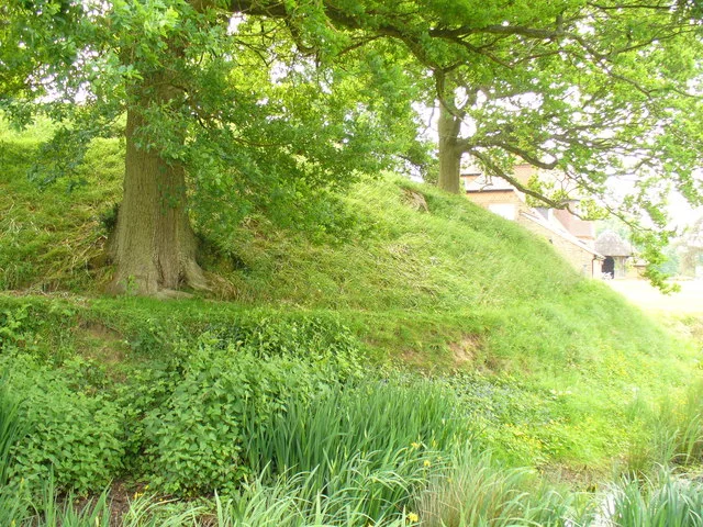
Ardley Castle was a castle to the southwest of the village of Ardley, Oxfordshire, England. At present only some of its ruins, most notably an oval enclosure one hundred yards (91 m) in diameter, with a shallow ditch with an average depth of three feet (0.91 m), a derelict moat and the earthworks remain. According to sources, the castle was a motte and bailey fortification erected in the 12th century during the civil war between King Stephen and Empress Matilda at the site of Offa of Mercia's old encampment. It was initially a manor site raised to a small castle by Hugh of Avranches, Earl of Chester to protect his lands from the chaos of war. It may have been constructed without the consent and permission of the monarch, making it an adulterine castle. During the war between Stephen and Matilda the castle was occasionally used by Ranulf de Gernon, 4th Earl of Chester. In 1136 the castle was attacked, but the attackers were repulsed. After the death of Ranulf, it was decided in the Treaty of Wallingford in 1153 that all adulterine castles would be demolished. During Henry II's reign, the castle was either demolished by hand or was simply abandoned and fell into ruin. In 1823 it was reported that only the ruins of the castle remained. It was during this same year that the existence of certain subterranean tunnels connecting the manor house came to light.
Excerpt from Wikipedia under CC BY-SA 4.0. See the source article linked in Sources below.
- Coordinates
- 51.9419, -1.2173
- County
- Oxfordshire
- District
- Cherwell
- Parish
- Ardley
- Postcode
- OX27 7NS
- Parliamentary constituency
- Bicester and Woodstock
- Nearest railway station
- Heyford — 6.2 km
- Opening
- Open at all times
- Official site
- www.bbowt.org.uk
Sources
- wikidata: Q4788169 (CC0)
- wikipedia: Ardley Castle (CC BY-SA 4.0)
Other places nearby

Ardley
Castles · 0.0 km
Ardley Quarry Wood
Forests & woodlands · 0.2 km

Ardley Cutting and Quarry
Quarries · 0.4 km

Fritwell
Villages · 2.3 km

Cherwell (district)
Museums · 2.4 km

Heyford Park
Museums · 2.4 km

Fritwell Manor
Historic houses · 2.6 km

Upper Heyford
Villages · 2.6 km

Duvall Mobile Home Park
Caravan parks · 2.7 km

Trow Pool water tower
Memorials & monuments · 2.7 km
Heyford Leys
Campsites · 2.8 km

The Trigger Pond Public House
Historic pubs · 2.8 km
Nearby
📷 5📷 3Forests & woodlands · South East England
Ardley Quarry Wood
Ardley Quarry Wood is a forest or woodland in the United Kingdom.
📷 3Quarries · South East England
Ardley Cutting and Quarry
Ardley Cutting and Quarry is a quarry in the United Kingdom.
📷 5📷 5Museums · South East England
Cherwell (district)
Cherwell ( CHAR-wel or CHUR-wel) is a local government district in northern Oxfordshire, England. The district was created in 1974 and takes its name from the River Cherwell, which drains south throu
📷 5Museums · South East England
Heyford Park
Heyford Park — a museum in england-west-midlands, United Kingdom.
Where to eat & stay near Ardley Castle
Places to stay
📷 5Caravan parks · South East England
Duvall Mobile Home Park
Duvall Mobile Home Park — a caravan park in england west midlands.
📷 5 📷 2
📷 2 📷 7
📷 7Hotels · South East England
Cartwright Hotel
Cartwright Hotel — a hotel in england west midlands.
 📷 7
📷 7 📷 5
📷 5Campsites · South East England
The Pig Place
The Pig Place — a campsite in england west midlands.
Places to eat & drink
📷 6Historic pubs · South East England
The Trigger Pond Public House
The Trigger Pond Public House in England South East, United Kingdom.
 📷 5
📷 5Historic pubs · South East England
Whitmore Arms Public House
Whitmore Arms Public House in England South East, United Kingdom.
 📷 5
📷 5Restaurants · South East England
Copper Kitchen
Copper Kitchen — a restaurant in england west midlands.
 📷 7
📷 7 📷 7
📷 7Historic pubs · South East England
Duke Of Cumberlands Head Public House
Duke Of Cumberlands Head Public House in England South East, United Kingdom.
 📷 7
📷 7Historic pubs · South East England
35, Market Square
35, Market Square in England South East, United Kingdom.
More castles in this region
 📷 5
📷 5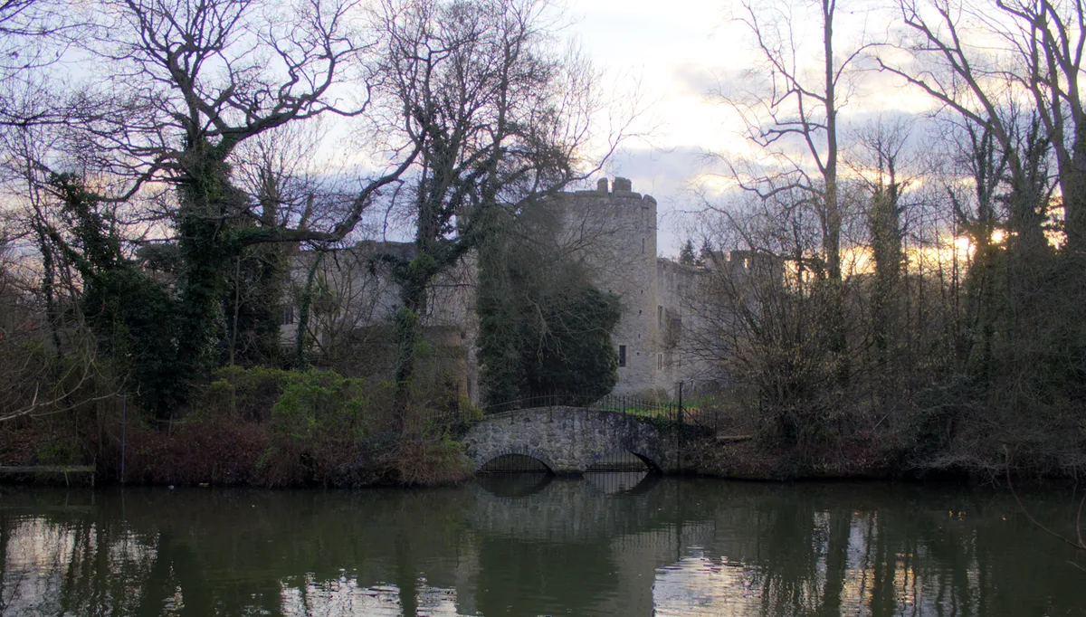 📷 5
📷 5Castles · South East England
Allington Castle
Allington Castle — stone-built moated castle in Allington, England.
 📷 5
📷 5Castles · South East England
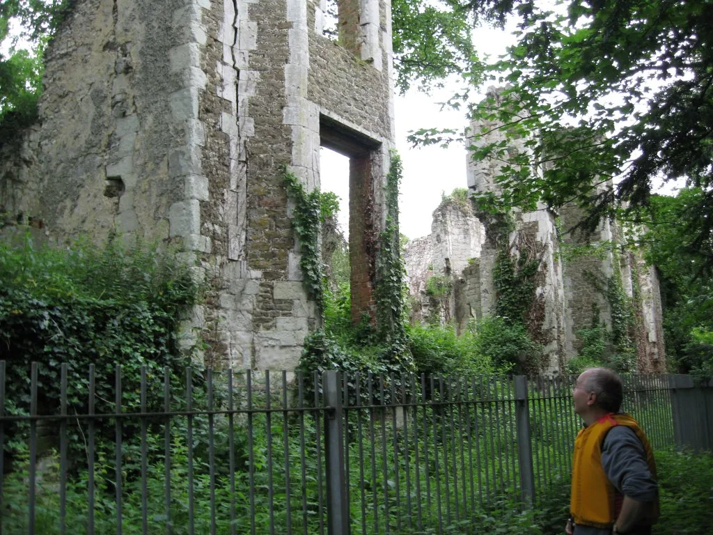
Betchworth Castle
Betchworth Castle — castle in Brockham, Mole Valley, Surrey, England, UK.
 📷 5
📷 5Castles · South East England
Bletchingley Castle
Bletchingley Castle — castle in Surrey, England, UK.
Frequently asked questions
- Where is Ardley Castle?
- Ardley Castle is in Oxfordshire, the West Midlands, United Kingdom (postcode OX27 7NS), in the parish of Ardley.
- What is Ardley Castle?
- Ardley Castle is a castle in the United Kingdom.
- How do I get to Ardley Castle?
- The nearest railway station is Heyford, about 6.2 km away. Drivers can use postcode OX27 7NS.
- Who owns Ardley Castle?
- Ardley Castle is owned by |open_to_public =.
- Is Ardley Castle a protected site?
- Yes — Ardley Castle is part of the Ardley Cutting and Quarry SSSI Site of Special Scientific Interest.
- Does Ardley Castle charge admission?
- Ardley Castle typically charges admission. Check the official site for current ticket prices and opening hours.
- How do I get to Ardley Castle?
- The nearest railway station is Heyford, about 6.2 km away. Drivers can navigate to postcode OX27 7NS.