Aqueducts · North West England
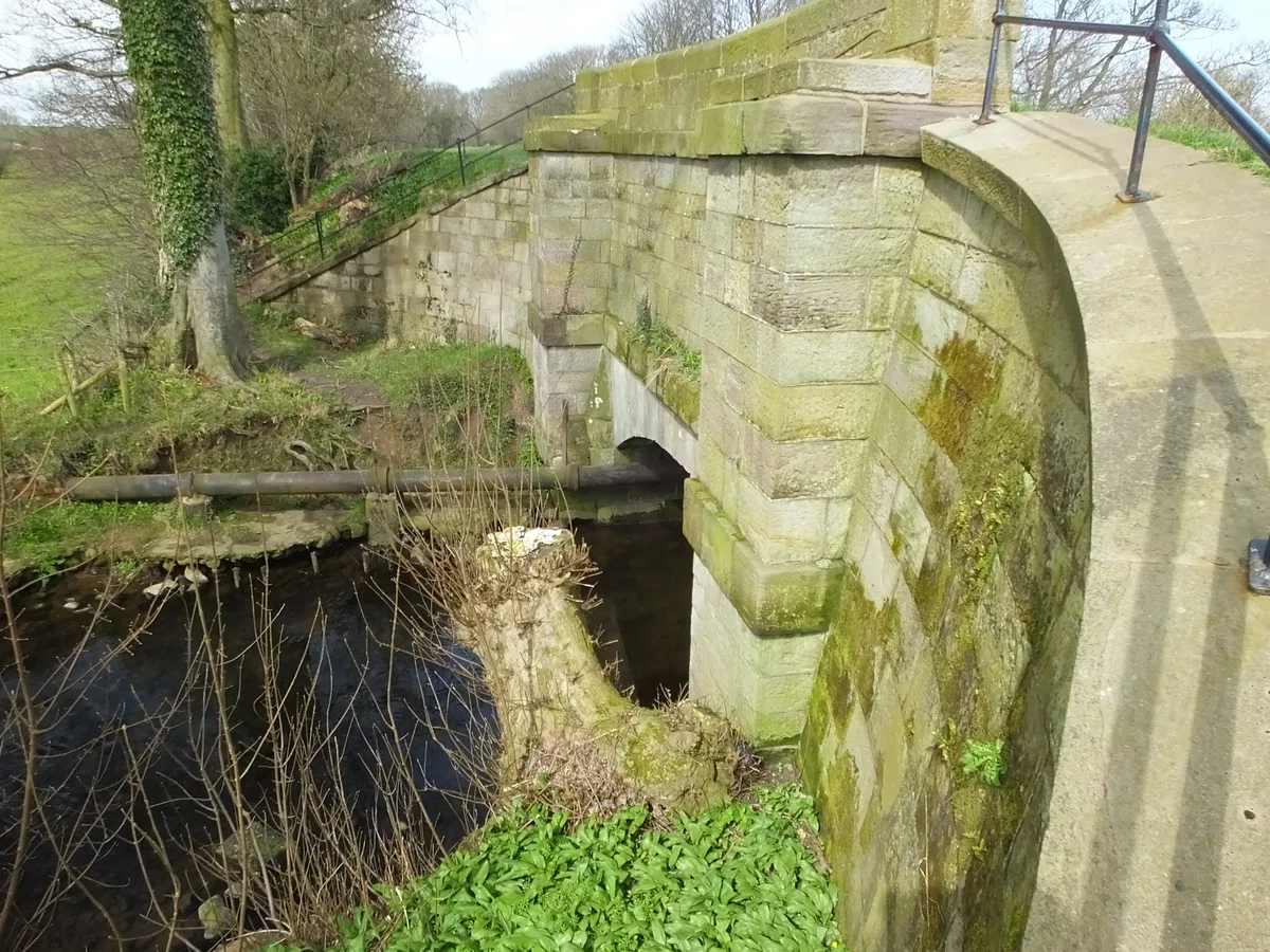
Aqueduct Approximately 40 Metres Over River Calder At Sd 8437 3225
Aqueduct Approximately 40 Metres Over River Calder At Sd 8437 3225 — aqueduct in Burnley, Lancashire, England, UK.

Wikimedia Commons contributors — see linked file page for photographer and licence licence
Plan your visit
- Typical visit
- 30 min–1 h
- Nearest railway station
- Burnley Manchester Road · 0.7 km
- Free entry
- Dog-friendly
About
Aqueduct Approximately 40 Metres Over River Calder At Sd 8437 3225 is a place of interest in Lancashire, North-West England. Officially recognised as Grade II listed building. It sits within the Burnley parliamentary constituency. The nearest railway station is Burnley Manchester Road, about 0.7 km away. Postcode area BB11.
Photo gallery
Place summary
The Aqueduct Approximately 40 Metres Over River Calder is located in Burnley, Lancashire, North-West England. It is a Grade II listed building, notable for its engineering and historical significance in the region.
AI-generated from the structured facts on this page (operator, designation, listing, era). Not a substitute for visiting.
- Coordinates
- 53.7864, -2.2387
- County
- Lancashire
- District
- Burnley
- Parish
- Burnley, unparished area
- Postcode
- BB11 3AN
- Parliamentary constituency
- Burnley
- Nearest railway station
- Burnley Manchester Road — 0.7 km
- Official site
- mfabowl.co.uk
Sources
- wikidata: Q26273530 (CC0)
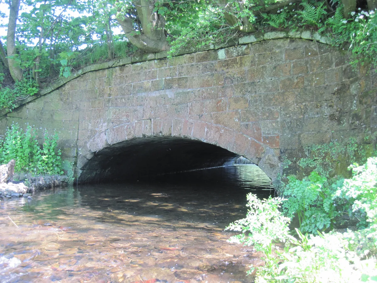
- commons: Culvert beneath the Leeds Liverpool Canal - geograph.org.uk - 1317562.jpg (CC BY-SA 4.0)
Other places nearby
Loading nearby places…
Nearby
 📷 3
📷 3Bowling alleys · North West England
MFA Bowling Alley
MFA Bowling Alley — a bowling in england-north-west, United Kingdom.
 📷 3
📷 3Theatres · North West England
Temperance Hall
Temperance Hall in England North West, United Kingdom.
 📷 3
📷 3Theatres · North West England
Pentridge Cinema
Pentridge Cinema in England North West, United Kingdom.
 📷 3
📷 3Theatres · North West England
Odeon Burnley
Odeon Burnley in England North West, United Kingdom.
 📷 3
📷 3Theatres · North West England
Palace-Hippodrome Theatre
Palace-Hippodrome Theatre in England North West, United Kingdom.
 📷 3
📷 3Theatres · North West England
Savoy Cinema Superb
Savoy Cinema Superb in England North West, United Kingdom.
More places in this region
 📷 3
📷 3Aqueducts · North West England
Aqueduct (No.87)
Aqueduct (No.87) — aqueduct in Ellel, Lancaster, Lancashire, England, UK.
 📷 3
📷 3Aqueducts · North West England
Aqueduct Carrying Kendal/Lancaster Canal Over Farleton Beck
Aqueduct Carrying Kendal/Lancaster Canal Over Farleton Beck — aqueduct in Beetham, Westmorland and Furness, Cumbria, England, UK.
 📷 3
📷 3Aqueducts · North West England
Aqueduct Carrying Kendal/Lancaster Canal Over Peasy Beck
Aqueduct Carrying Kendal/Lancaster Canal Over Peasy Beck — aqueduct in Preston Patrick, Westmorland and Furness, Cumbria, England, UK.
 📷 3
📷 3Aqueducts · North West England
Brock Aqueduct (Number 46)
Brock Aqueduct (Number 46) — aqueduct in Myerscough and Bilsborrow, Wyre, Lancashire, England, UK.
Frequently asked questions
- Where is Aqueduct Approximately 40 Metres Over River Calder At Sd 8437 3225?
- Aqueduct Approximately 40 Metres Over River Calder At Sd 8437 3225 is in Lancashire, North-West England, United Kingdom (postcode BB11 3AN), in the parish of Burnley, unparished area.
- Is Aqueduct Approximately 40 Metres Over River Calder At Sd 8437 3225 a listed building?
- Aqueduct Approximately 40 Metres Over River Calder At Sd 8437 3225 is officially recognised as Grade II listed building listed.
- Is Aqueduct Approximately 40 Metres Over River Calder At Sd 8437 3225 free to visit?
- Yes, Aqueduct Approximately 40 Metres Over River Calder At Sd 8437 3225 is free to enter.
- How do I get to Aqueduct Approximately 40 Metres Over River Calder At Sd 8437 3225?
- The nearest railway station is Burnley Manchester Road, about 0.7 km away. Drivers can navigate to postcode BB11 3AN.