
Historic bridges · South East England
Approach Bridge And Flanking Walls Approximately 30 Metres South Of New Bridge
In or near Boars Hill.
Approach Bridge And Flanking Walls Approximately 30 Metres South Of New Bridge — Grade II listed building-listed bridge in england-west-midlands, United Kingdom.

Dr Neil Clifton — CC BY-SA 2.0 via Wikimedia Commons licence

Plan your visit
- Typical visit
- 15 min–30 min
- Free entry
- Dog-friendly
About
Approach Bridge And Flanking Walls Approximately 30 Metres South Of New Bridge is a Grade II listed building-listed bridge in england-west-midlands, United Kingdom, registered on the National Heritage List for England (NHLE entry 1048349). Listed status protects buildings and structures of special architectural or historic interest. See the linked Wikipedia article for further details.
Photo gallery
See it from the streetimagery from 2025
Imagery © Mapillary contributors, CC BY-SA 4.0
Heritage listing
Details KINGSTON BAGPUIZE WITH SOUTHMOOR WITNEY ROAD SP40SW (West side) 2/125 Approach bridge and flanking 09/02/66 walls approx. 30m. S of New Bridge (Formerly listed as Approach bridge to "New Bridge") GV II Bridge. Late C18. Limestone ashlar with 6 semi-circular arches. Later rubble parapet has chamfered ashlar coping with pyramidal piers to centre and ends. The bridge replaced a stone causeway, mentioned by Leland in 1536, that carried the road above the floodplain to New Bridge (q.v.): "Ther is a long cawsye of stone at eche end of the bridge". (L. Toulmin Smith (Ed.), Leland's Itinerary in England and Wales, 1964, p.201). Listing NGR: SP4036101343 Legacy The contents of this record have been generated from a legacy data system. Legacy System number: 249623 Legacy System: LBS
From the Historic England List Entry under OGL v3.
Protected designations
- Area of Outstanding Natural Beauty: Cotswolds
Designations sourced from Natural England open data under OGL v3.
Place summary
Approach Bridge and Flanking Walls is a Grade II listed bridge located approximately 30 metres south of New Bridge in Northmoor, Oxfordshire, within the West Midlands. The structure features distinctive flanking walls, contributing to its architectural significance.
AI-generated from the structured facts on this page (operator, designation, listing, era). Not a substitute for visiting.
- Coordinates
- 51.7094, -1.4173
- County
- Oxfordshire
- District
- West Oxfordshire
- Parish
- Northmoor
- Postcode
- OX29 7QD
- Parliamentary constituency
- Witney
Sources
- wikidata: Q26300478 (CC0)
Other places nearby

River Windrush
Museums · 0.1 km

Newbridge Farm
Campsites · 0.2 km

Lincoln Farm Park
Campsites · 1.6 km

Mulberry Bush School
Natural landmarks · 1.7 km

Standlake
Villages · 2.0 km

Northmoor
Villages · 2.2 km

The Three TTTs Watersports Club
Caravan parks · 2.2 km
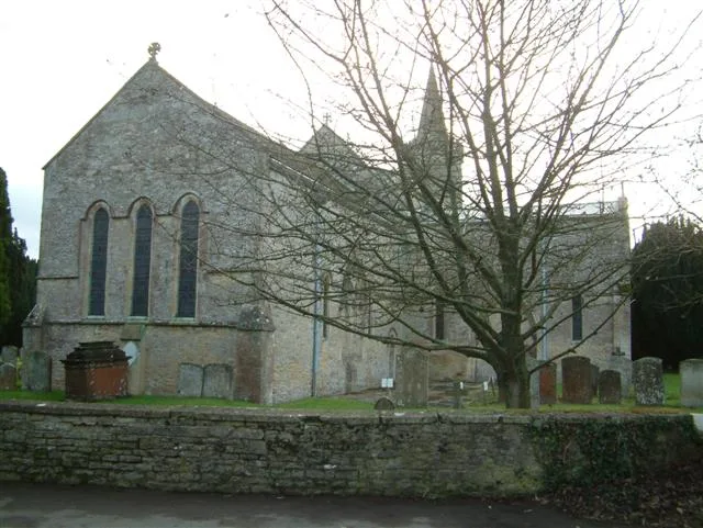
St Giles' Church, Standlake
Historic churches · 2.4 km

Longworth
Villages · 2.4 km
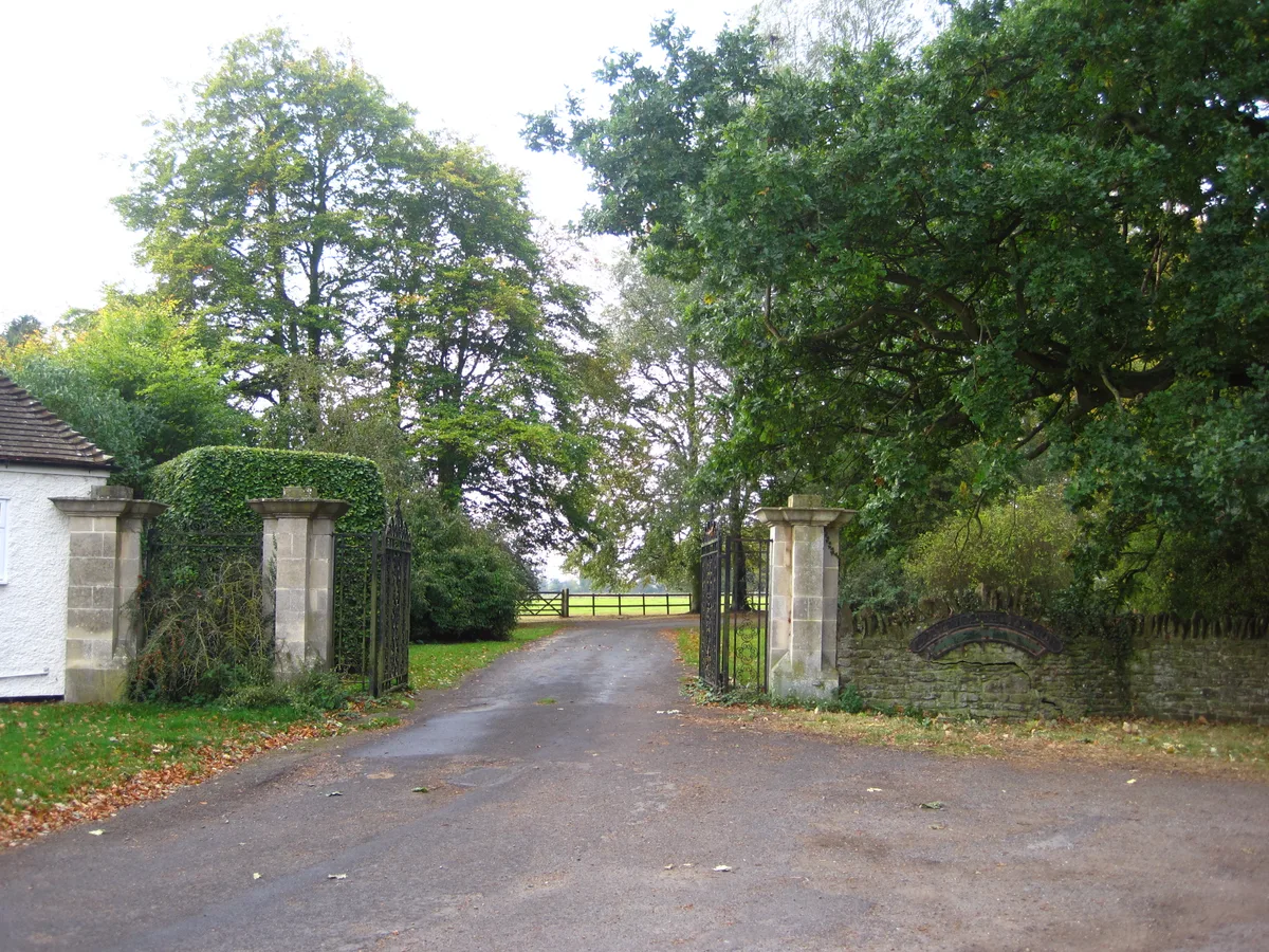
Longworth House
Stately homes · 2.8 km

Northmoor Lock
Canal locks · 2.8 km

Barefoot Campsites
Campsites · 2.9 km
Nearby
📷 5Museums · South East England
River Windrush
River Windrush — a museum in england-west-midlands, United Kingdom.
📷 5📷 5Campsites · South East England
Lincoln Farm Park
Lincoln Farm Park — a campsite in england west midlands.
📷 5Natural landmarks · South East England
Mulberry Bush School
Mulberry Bush School — a school heritage in england-west-midlands, United Kingdom.
📷 5📷 5Where to eat & stay near Approach Bridge And Flanking Walls Approximately 30 Metres South Of New Bridge
Places to stay
📷 5📷 5Campsites · South East England
Lincoln Farm Park
Lincoln Farm Park — a campsite in england west midlands.
📷 5Caravan parks · South East England
The Three TTTs Watersports Club
The Three TTTs Watersports Club — a caravan park in england west midlands.
📷 5Campsites · South East England
Barefoot Campsites
Barefoot Campsites — a campsite in england west midlands.
 📷 5
📷 5Caravan parks · South East England
Hardwick Leisure Park
Hardwick Leisure Park — a caravan park in england west midlands.
 📷 5
📷 5Caravan parks · South East England
Thameside Court Residential Caravan Park
Thameside Court Residential Caravan Park — a caravan park in england west midlands.
Places to eat & drink
 📷 5
📷 5Restaurants · South East England
The White Hart
The White Hart — a restaurant in england west midlands.
 📷 5
📷 5Historic pubs · South East England
The Thatched Tavern Public House
The Thatched Tavern Public House in England South East, United Kingdom.
 📷 5
📷 5Historic pubs · South East England
The Harcourt Arms Public House
The Harcourt Arms Public House in England South East, United Kingdom.
 📷 5
📷 5Historic pubs · South East England
Bear And Ragged Staff Inn
Bear And Ragged Staff Inn in England South East, United Kingdom.
 📷 7
📷 7Historic pubs · South East England
The Talbot Public House and Attached Stable
The Talbot Public House and Attached Stable in England South East, United Kingdom.
 📷 5
📷 5Historic pubs · South East England
The White Hart Public House And Attached Garage (Part Of Number 33)
The White Hart Public House And Attached Garage (Part Of Number 33) in England South East, United Kingdom.
More bridges in this region
 📷 5
📷 5Historic bridges · South East England
Briary Hill Bridge east
Briary Hill Bridge east is a historic bridge in the United Kingdom.
 📷 5
📷 5Historic bridges · South East England
Briary Hill Bridge west
Briary Hill Bridge west is a historic bridge in the United Kingdom.
 📷 5
📷 5Historic bridges · South East England
Bridge 157 VIR (Bath Hard Road)
Bridge 157 VIR (Bath Hard Road) is a historic bridge in the United Kingdom.
 📷 5
📷 5Historic bridges · South East England
Dorking Arch Bridge
Dorking Arch Bridge is a historic bridge in the United Kingdom.
Frequently asked questions
- Where is Approach Bridge And Flanking Walls Approximately 30 Metres South Of New Bridge?
- Approach Bridge And Flanking Walls Approximately 30 Metres South Of New Bridge is in Oxfordshire, the West Midlands, United Kingdom (postcode OX29 7QD), in the parish of Northmoor.
- What is Approach Bridge And Flanking Walls Approximately 30 Metres South Of New Bridge?
- Approach Bridge And Flanking Walls Approximately 30 Metres South Of New Bridge — Grade II listed building-listed bridge in england-west-midlands, United Kingdom.
- How do I get to Approach Bridge And Flanking Walls Approximately 30 Metres South Of New Bridge?
- Drivers can use postcode OX29 7QD.
- Is Approach Bridge And Flanking Walls Approximately 30 Metres South Of New Bridge a listed building?
- Approach Bridge And Flanking Walls Approximately 30 Metres South Of New Bridge is officially recognised as Grade II listed building listed.
- Is Approach Bridge And Flanking Walls Approximately 30 Metres South Of New Bridge a protected site?
- Yes — Approach Bridge And Flanking Walls Approximately 30 Metres South Of New Bridge is part of the Cotswolds National Landscape (AONB).
- Is Approach Bridge And Flanking Walls Approximately 30 Metres South Of New Bridge free to visit?
- Yes, Approach Bridge And Flanking Walls Approximately 30 Metres South Of New Bridge is free to enter.
- How do I get to Approach Bridge And Flanking Walls Approximately 30 Metres South Of New Bridge?
- Drivers can navigate to postcode OX29 7QD. It sits within the Witney parliamentary constituency.