
Mountains & hills · Scottish Highlands
Aonach Beag
Aonach Beag — Named summit at 1116 m.

Wikimedia Commons contributors — see linked file page for photographer and licence licence

Plan your visit
- Typical visit
- 3 h–8 h
- Best time of year
- Late spring – early autumn (May–Oct)
- Free entry
- Dog-friendly
About
Aonach Beag is a named summit in the United Kingdom. Wikidata describes it as: "Named summit at 1116 m.". Coordinates: 56.8335°, -4.5292°.
Photo gallery
From the Wikipedia article
Aonach Beag is a 1,116-metre (3,661 ft) mountain in the Highlands of Scotland in the remote area between Loch Ericht and Loch Laggan located about 4 kilometres (2.5 mi) northwest of Ben Alder. Its prominence is 99 metres (325 ft) with its parent peak, Geal-Charn, about 1 kilometre (0.62 mi) to the east. In Gaelic, Aonach Beag means "little ridge" despite it being a Munro. It should not be confused with the better-known Munro near Ben Nevis, also called Aonach Beag, about 30 kilometres (19 mi) to the west. The mountain is one of a range of hills running between Loch Ossian and Loch Pattack and is itself at the convergence of three ridges. Its neighbouring peak to the west is Beinn Eibhinn which extends over a larger area although at 1,100 metres (3,600 ft) it is slightly less high. Between these two peaks is Lochan a'Chàrra Mhòir at the head of Choire a'Chàrra Mhòir. The shortest route of ascent starts from Corrour railway station and passes Loch Ossian youth hostal before going beside the southern shore of Loch Ossian to pass Corrour Lodge and then go up Bealach Dubh along Uisge Labhair. At one time the peak was often climbed after staying at Culra bothy but the bothy has since been closed. All routes involve a considerable walk-in. The mountain lies within the Ben Alder and Aonach Beag Special Area of Conservation as an upland area of acidic scree with Alpine and subalpine calcareous grasslands. The area is very varied ecologically – the three-leaved rush, hare's-foot sedge and scorched alpine sedge are to be found near the summit. On account of the lengthy snow cover the area is exceptional for its bryophytes.
Excerpt from Wikipedia under CC BY-SA 4.0. See the source article linked in Sources below.
- Coordinates
- 56.8335, -4.5292
- Address
- Ben Alder, Scotland
Sources
- osm: n255419413 (ODbL)
- wikipedia: Aonach Beag (Ben Alder) (CC BY-SA 4.0)
- commons: Coire na Coichille - geograph.org.uk - 708687.jpg (CC BY-SA 4.0)
Other places nearby
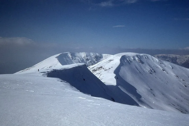
Beinn Eibhinn
Mountains & hills · 1.3 km
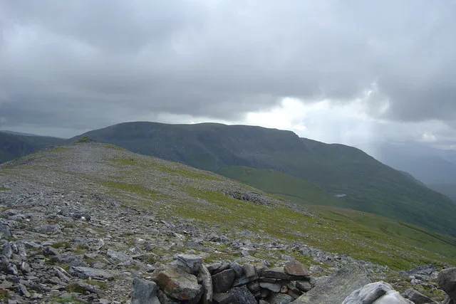
Geal-Chàrn
Natural landmarks · 1.3 km
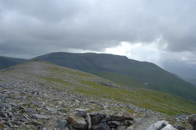
Geal-Chàrn
Mountains & hills · 1.3 km

Geal-charn
Mountains & hills · 1.3 km

Meall Glas Choire
Mountains & hills · 2.6 km

Mullach Coire nan Nead
Mountains & hills · 2.8 km

Sgor Iutharn
Mountains & hills · 3.1 km

Beinn a' Chumhainn
Mountains & hills · 3.2 km

Sgor Gaibhre - Beinn a'Chumhainn
Mountains & hills · 3.2 km

Diollaid a' Chairn
Mountains & hills · 3.3 km

Meall Còs Chàrnan
Mountains & hills · 4.1 km

Meall Cos Charnan
Mountains & hills · 4.1 km
Nearby
📷 3📷 3Natural landmarks · Scottish Highlands
Geal-Chàrn
Geal-Chàrn — 1132m high mountain in Highland, Scotland, UK.
📷 3Mountains & hills · Scottish Highlands
Geal-Chàrn
Geal-Chàrn — Named summit at 1132 m.
📷 5Mountains & hills · Scottish Highlands
Geal-charn
Geal-charn — a hill or mountain in scotland highlands.
📷 2Mountains & hills · Scottish Highlands
Meall Glas Choire
Meall Glas Choire — a mountain in scotland-highlands, United Kingdom.
📷 3Mountains & hills · Scottish Highlands
Mullach Coire nan Nead
Mullach Coire nan Nead — a mountain in scotland-highlands, United Kingdom.
Where to eat & stay near Aonach Beag
Places to stay
 📷 5
📷 5Hostels · Scottish Highlands
Loch Ossian Youth Hostel
Loch Ossian Youth Hostel — a hostel in scotland highlands.
 📷 5
📷 5 📷 5
📷 5 📷 5
📷 5Campsites · Scottish Highlands
Bunroy Caravan & Camping Park
Bunroy Caravan & Camping Park — a campsite in scotland highlands.
 📷 5
📷 5 📷 5
📷 5Hostels · Scottish Highlands
Dalwhinnie Old School Hostel
Dalwhinnie Old School Hostel — a hostel in scotland highlands.
More mountains in this region
 📷 3
📷 3Mountains & hills · Scottish Highlands
A' Bhuidheanach Bheag
A' Bhuidheanach Bheag — Named summit at 936 m.
 📷 3
📷 3 📷 3
📷 3 📷 3
📷 3Frequently asked questions
- Where is Aonach Beag?
- Aonach Beag is in the Scottish Highlands, United Kingdom.
- What is Aonach Beag?
- Aonach Beag — Named summit at 1116 m.
- How do I get to Aonach Beag?
- Its coordinates are 56.8335°, -4.5292°.
- Is Aonach Beag free to visit?
- Yes, Aonach Beag is free to enter.